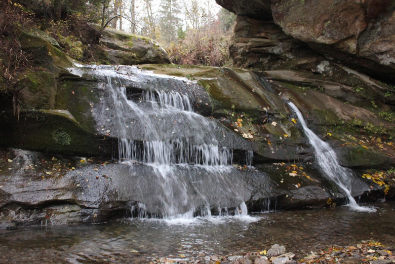
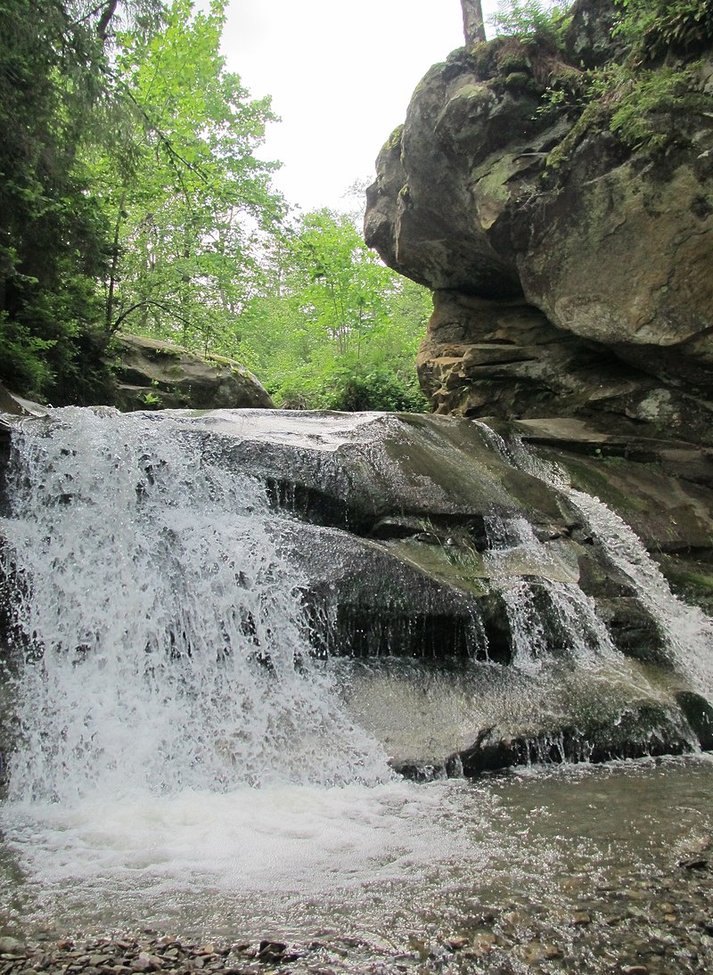
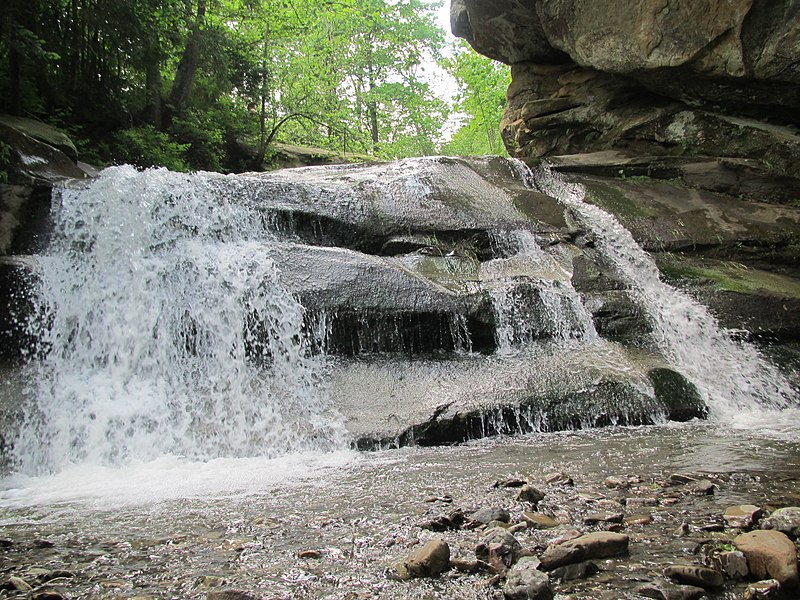
Bukovets-Bezulkivskyi Huk waterfall (Ternoshorsky)
Ternoshorsky Huk is a waterfall in the Ukrainian Carpathians (in the Pokutsko-Bukovyna Carpathians). It is located on one of the right tributaries of the Bezulka River, within the village of Yavoriv, in the Kosiv district of Ivano-Frankivsk region (Rybnytsia river basin), so it also has another name - Bukovets-Bezulkivskyi. The height is 3 meters, of block type. It was formed in a place where a small stream crosses a rock mass of erosion-resistant sandstones. There is a small hydrogen sulfide spring nearby. The stream near the waterfall has an oval-shaped erosion pit measuring 2x4 m and about 1.5 m deep.
At a distance of 0.5 km from the waterfall there is a rock massif "Ternoshorskaya Lada".
Accommodation around Bukovets-Bezulkivskyi Huk waterfall (Ternoshorsky):


Nearby hiking trails near Bukovets-Bezulkivskyi Huk waterfall (Ternoshorsky):
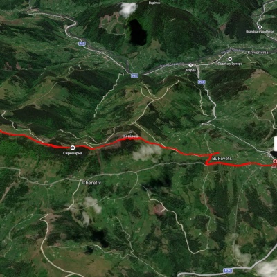
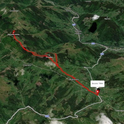
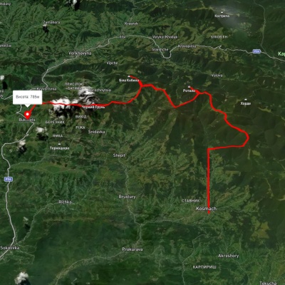
Which trails pass by Bukovets-Bezulkivskyi Huk waterfall (Ternoshorsky)?
We suggest these hiking trails through or near Bukovets-Bezulkivskyi Huk waterfall (Ternoshorsky): Pysanyi Kamin – Bukovets village, Bukovets village – Pysanyi Kamin – Bukovets village, Kosmach village, via Mount Rotylo, Mount Hrehit and Mount Bila Kobyla to Bukovets village, To Dovbush Chambers, Sheshory – Rosokhata, Verkhovyna – Krynta-Skupova ridge – Verkhovyna