Bukove – Bukhtivets-Bystrytsia waterfall
Trail map
Route, springs and shelters: © OpenStreetMap contributors (ODbL) · elevation: Copernicus DEM © DLR e.V., © Airbus DS · Data & licences
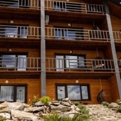
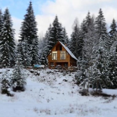
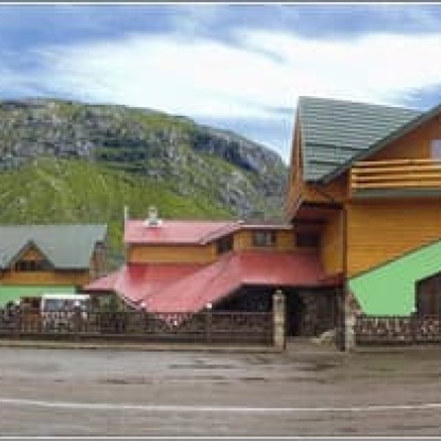
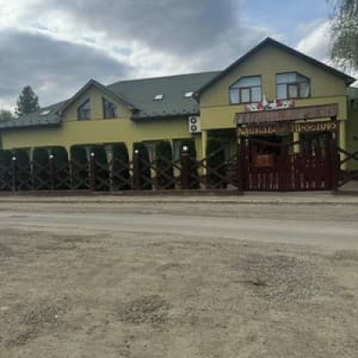
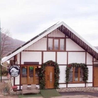
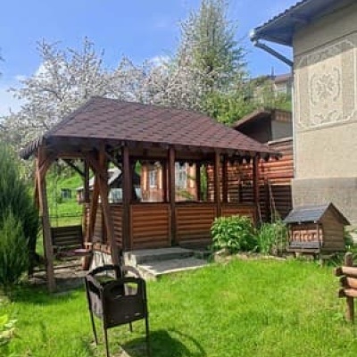
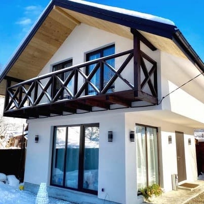
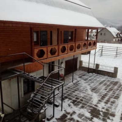
Where to stay nearby

About the trail
Route Bukove – Bukhtivets-Bystrytsia waterfall. Has green marking (local route). Waymarking data: OpenStreetMap (© OpenStreetMap contributors, ODbL).
Officially marked local tourist route. The marking is green, the sign is a horizontal stripe on a white background. The length of the route is 15.5 km. Location: mountain range – Horgany, Ivano-Frankivsk region.
Attention: part of the route has not yet been marked on OpenStreetMap, so the line on the map has gaps. On the ground, orient yourself by the marking signs.
At a glance
A one-day route of 15.5 km with 369 m of ascent from Bukove to Bukhtivets-Bystrytsia waterfall. Estimated walking time: about 4.5 h, not counting stops. Difficulty: moderate. Waymarking: green.
Route stages
- 0–2 kmClimb of 230 m (up to 927 m)
- 2–7 kmGentle ups and downs at 870–990 m
- 7–10 kmDescent of 340 m (down to 537 m)
- 10–16 kmGentle ups and downs at 520–580 m
Steepest kilometre: km 0–1, a climb of 170 m (≈20%).
Water and overnight stays
A spring near the trail: at km 12. There are no springs between km 0 and 12 — carry at least 2 l of water.
Places to stay near the start: Bukove.
When to go
The route can be walked most of the year; it is most comfortable from April to October.
Getting there
Start: Bukove. This is a one-way route: the finish is 6 km from the start in a straight line, so plan your way back in advance.
FAQ
- How long does the route take?
- Estimated walking time: about 4.5 h, not counting stops.
- Is there water on the route?
- A spring near the trail: at km 12. There are no springs between km 0 and 12 — carry at least 2 l of water.
- Where can I stay overnight?
- Places to stay near the start: Bukove.
Water and shelter on the route
- Spring (Pasichna, 2)km 14.5 from the start · Not verified · 576 m
Wildlife along the route
All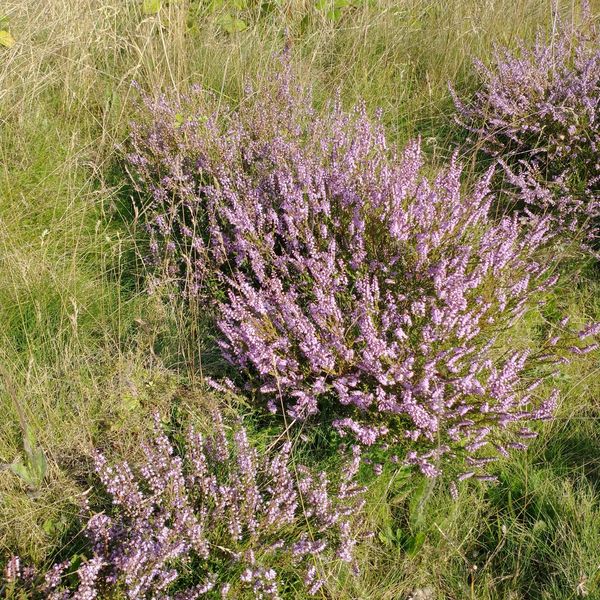
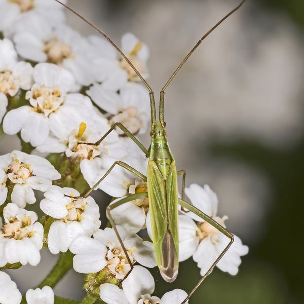
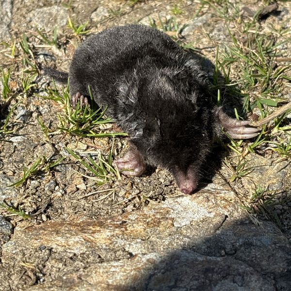
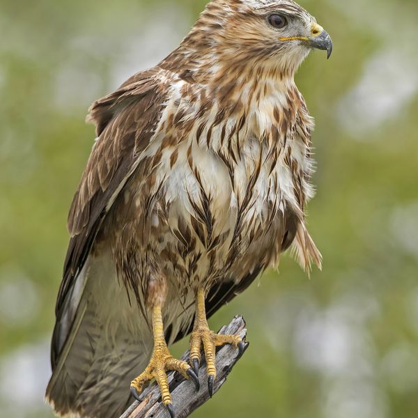
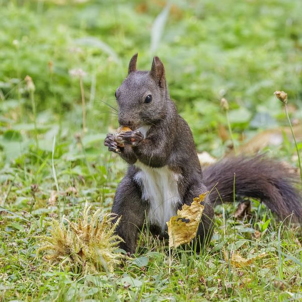
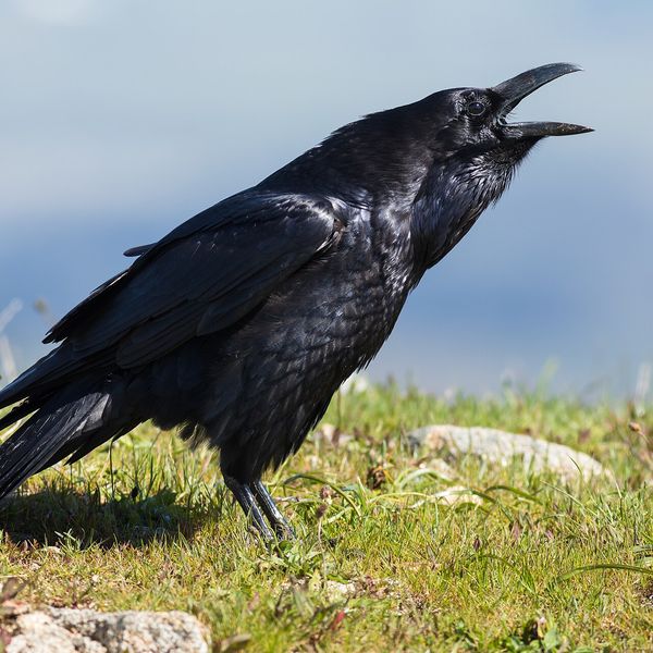
Based on naturalists’ records nearby (GBIF, iNaturalist), matched by altitude, habitat and season. Sightings are not guaranteed.
Before you go, check the border-regime restrictions: Border Guard permit for mountain hikes (in Ukrainian)
Comments
Trails nearby
All trails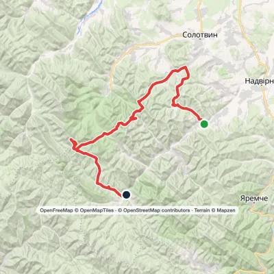 HardMulti-dayPasichna village to Bystrytsia villagevia Maniava village, Maniava Waterfall +1Elevation profile495–1 836 m69.7 kmascent 2 898 m
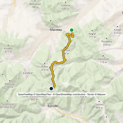 ModerateOne-dayMarkedManiava village Monastyretska polonynaElevation profile497–950 m12.1 kmascent 406 m≈ 4 h walking
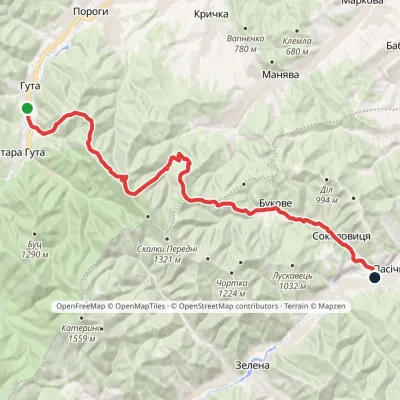 HardMulti-dayMarkedHuta village Pasichna villageElevation profile524–1 207 m26.4 kmascent 993 m≈ 8.5 h walking
Craft nearby
All craft places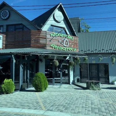 Craft shopsKarpatski Delikatesy farm shop, YaremcheYaremche22 km from the trailKarpatski Delikatesy (“Carpathian Delicacies”) is one of the largest shops of local products in Yaremche, right on the main road through town at 59/2 Svobody Street.
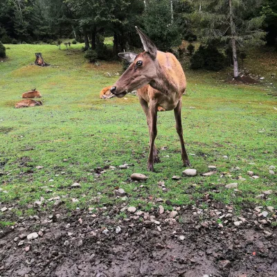 Wildlife parks & animal farmsCarpathian National Park Enclosure Farm, YaremcheYaremche22 km from the trailThe Enclosure Farm of the Carpathian National Nature Park is a small wildlife park on the edge of Yaremche where you can see animals of the Carpathian forests up close.
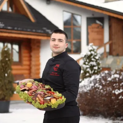 Koliby & Hutsul cuisineVedmezha Hora Koliba, YaremcheYaremche22 km from the trailVedmezha Hora koliba in Yaremche (“Bear Mountain”) is a family restaurant that has long been one of the town’s most popular food addresses.
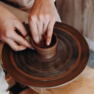 Ethno tours & guidesKosiv & Yavoriv Hutsul Crafts Tour from YaremcheYaremche22 km from the trailIf you are staying in Yaremche or Bukovel and want to see the real craft heartland of the Hutsul region, not just the mountain views, a handy option is a day tour to...
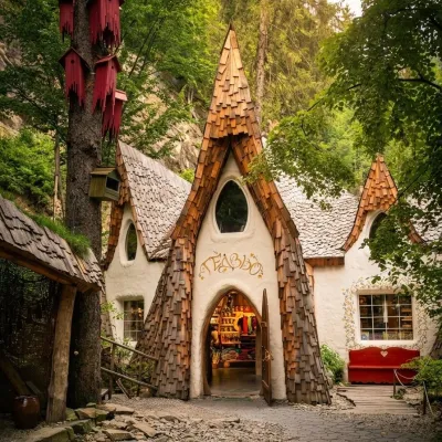 Theme parksGedzio Park of Legends, YaremcheYaremche22 km from the trailGedzio Park of Legends is a fairy-tale theme park in Yaremche, a few steps from the Probiy waterfall. It is designed as the imaginary settlement of Obinor, home to...
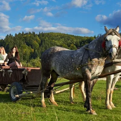 Horse ridingHorse Trails from Kamianyi Dvir Cottage, YaremcheYaremche22 km from the trailBesides accommodation, the Kamianyi Dvir (“Stone Yard”) cottage on Hrushevskoho Street in Yaremche is known for its horse rides.
