Východná
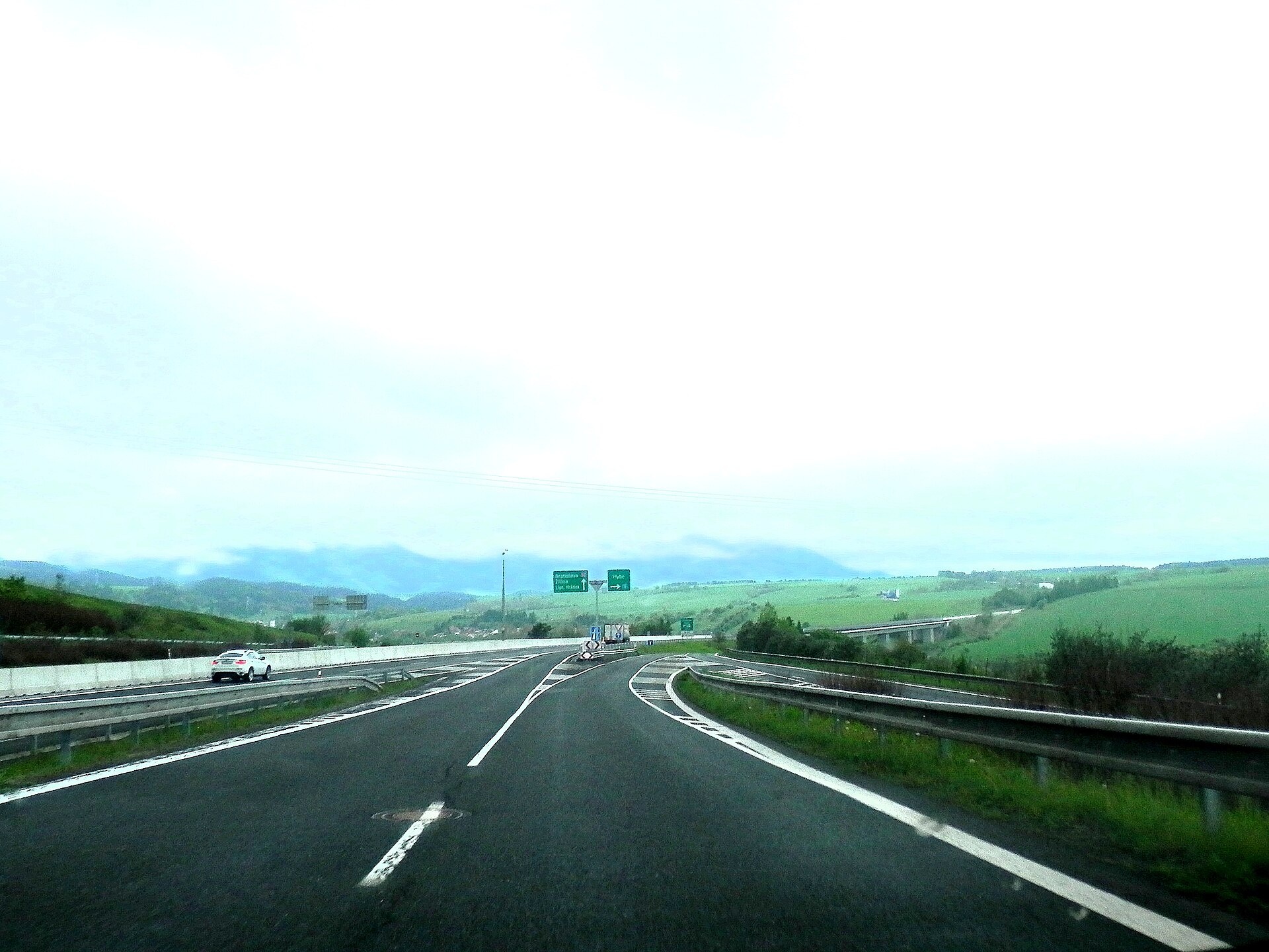
Photos: Achernar.sk, CC0 (Wikimedia Commons); Michal Jakubský, CC BY 3.0 (Wikimedia Commons); Robzle, Public domain (Wikimedia Commons); Robzle, Public domain (Wikimedia Commons); Ing.Mgr.Jozef Kotulič, CC BY-SA 4.0 (Wikimedia Commons); Ing.Mgr.Jozef Kotulič, CC BY-SA 4.0 (Wikimedia Commons)
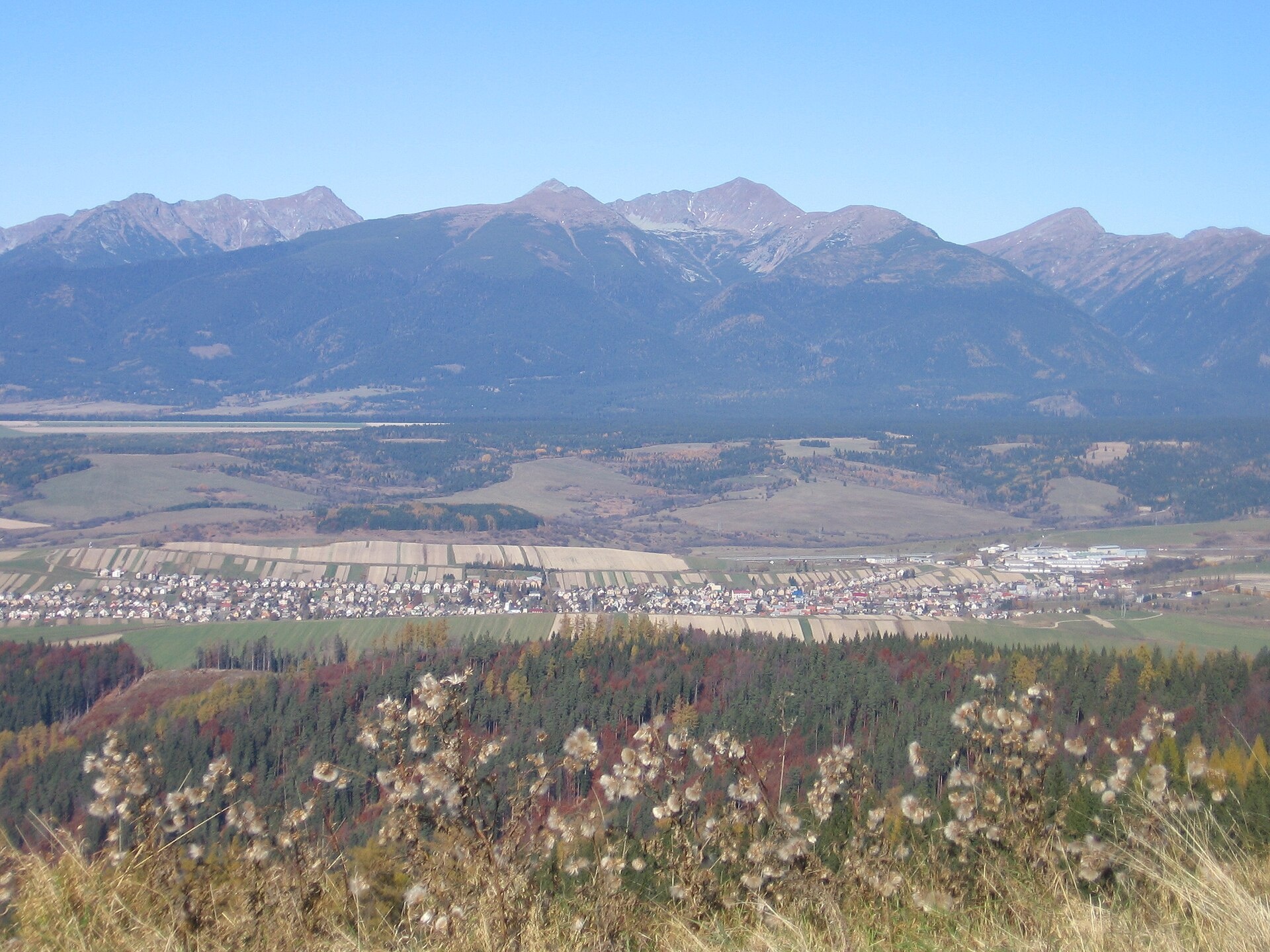
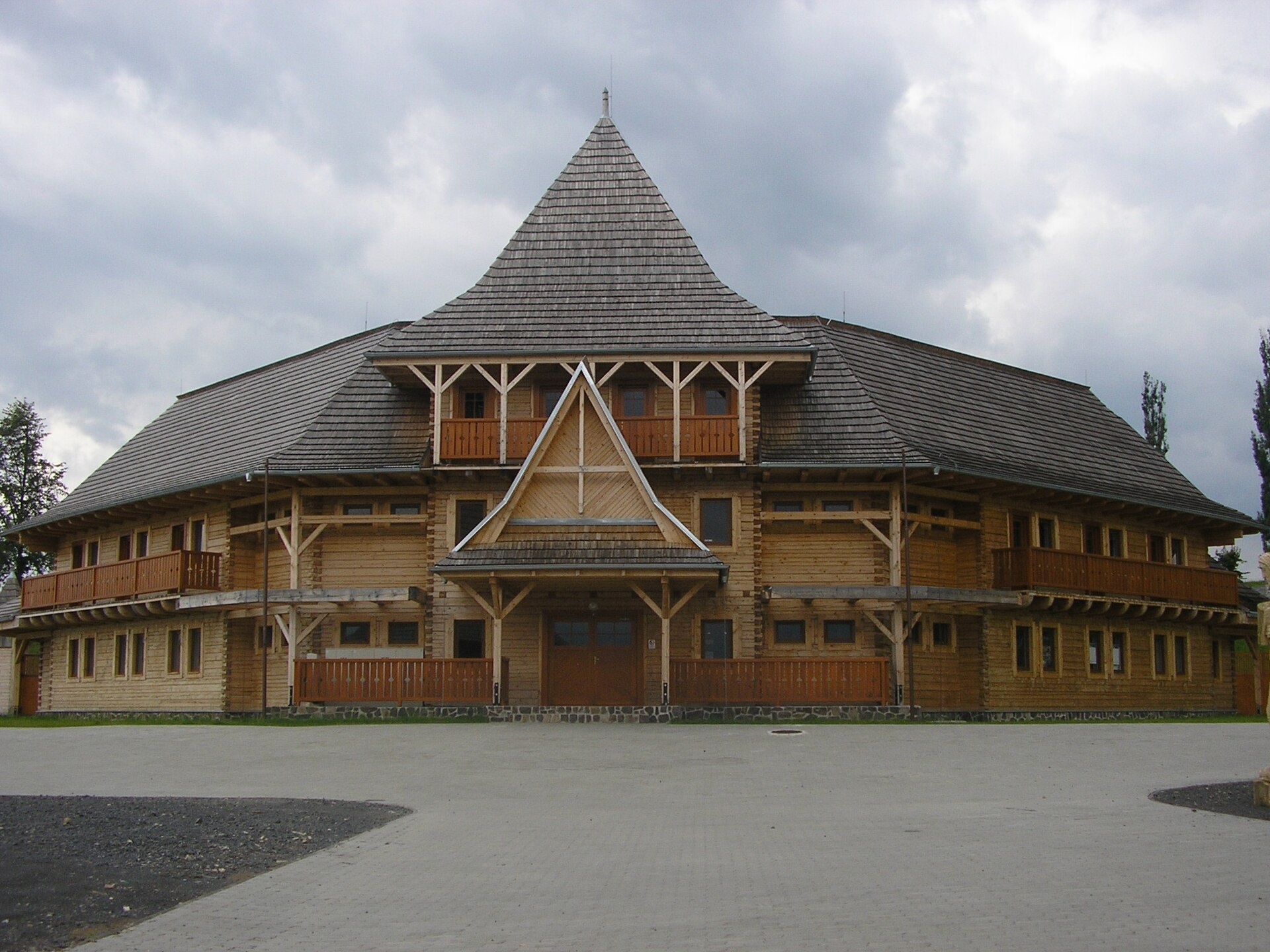
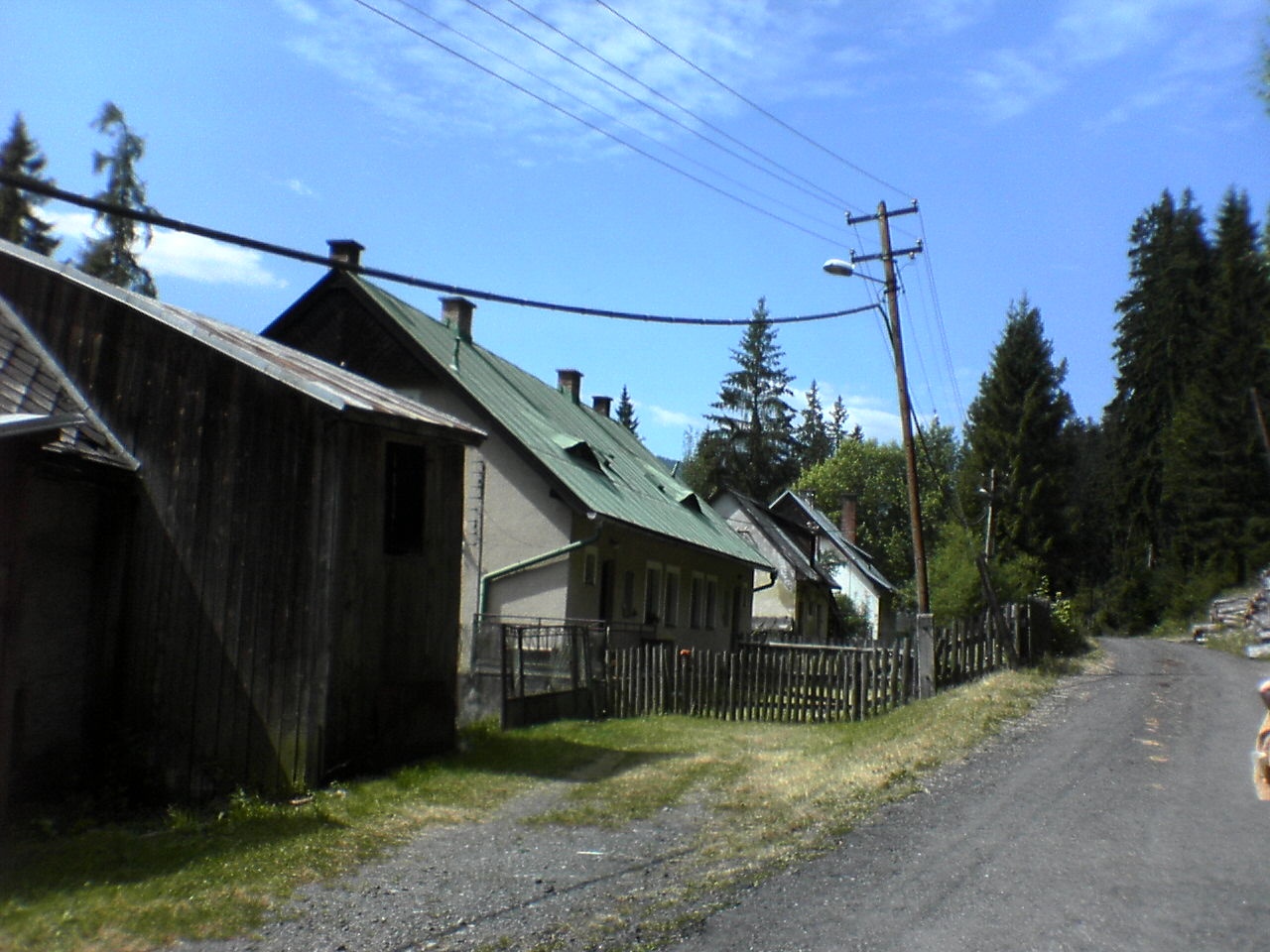
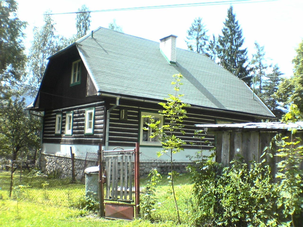
Východná is a village in the Liptovský Mikuláš District, Žilina region, Slovakia. It lies in the picturesque Liptov region at an elevation of about 775 metres, near the foot of the Low Tatras mountains. The Grúňový stream and Mlaky stream flow through the village, and the protected area of Hybická Gorge is nearby.
The first historical mention of Východná dates back to 1269. The village was founded by settlers from Spiš, and from 1469 it belonged to the estate of Liptovský Hrádok. Before 1918, Východná was part of Liptó County within the Kingdom of Hungary, and from 1939 to 1945 it was part of the Slovak Republic.
Východná is renowned for its vibrant cultural life, especially the major folklore festival held here since 1953. The event takes place in a large open-air theatre overlooking the village, attracting numerous performers and visitors. The area is also known for its scenic views of Kriváň, Slovakia’s symbolic mountain, and its proximity to natural attractions and hiking trails in the Low Tatras.
For visitors, Východná is an excellent starting point for exploring the Low Tatras. From here, you can access trails such as Tatran Magistrala: Podbanské – Veľké Biele pleso and Pysné saddle – Podbanské, as well as peaks like Bystrá and Jakubina. Nearby, you can visit Kmeťov Waterfall in the Kôprová Valley, Važecká Cave, and the Museum of the Liptov Village in Pribylina. Activities include visiting the Východná organic farm or enjoying horseback riding under the Tatras.
Getting there from Ukraine
Uzhhorod – Poprad ≈195 km, ≈2 h 55 min without queues: Uzhhorod – Vyšné Nemecké checkpoint → I/19 via Sobrance and Michalovce → Košice → D1 motorway via Prešov → Poprad (Liptovský Mikuláš is ≈56 km further on the D1, total ≈249 km). Košice – Poprad ≈112 km. The D1 requires an e-vignette (eznamka.sk). Note: from Lviv the fastest way to Poprad is through Poland — Krakovets – A4 – Kraków – Zakopane – Łysa Polana ≈468 km (≈5 h 50 min); via Uzhok and Malyi Bereznyi ≈419 km but slower (≈6 h 40 min). Zakopane – Poprad ≈69 km, Zakopane – Liptovský Mikuláš ≈80 km.
Sources: Wikipedia, Wikidata, OpenStreetMap, Karpaty.rocks data. More on Wikipedia
What's nearby
Trails nearby
All trails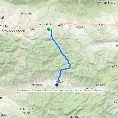 HardMulti-dayMarkedHeľpa, station VýchodnáElevation profile636–1 551 m32.4 kmascent 1 179 m≈ 10.5 h walking1.8 km from the centre
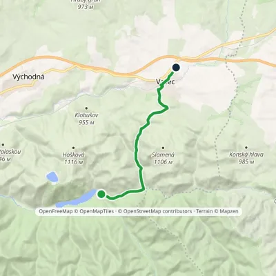 EasyOne-dayMarkedČierny Váh VažecElevation profile739–928 m9.5 kmascent 242 m≈ 3 h walking5.7 km from the centre
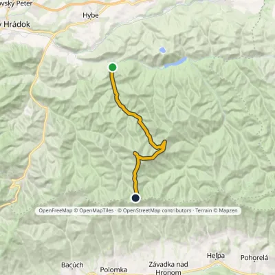 ModerateTwo-dayMarkedSvarín Zadná hoľaElevation profile706–1 727 m16.9 kmascent 1 205 m≈ 6.5 h walking6.6 km from the centre
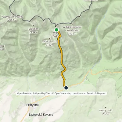 HardOne-dayMarkedHrdovo BystráElevation profile849–2 248 m9.1 kmascent 1 399 m≈ 5 h walking7.1 km from the centre
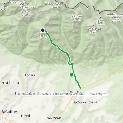 HardOne-dayMarkedPribylina, Hotel Esperanto BaranecElevation profile780–2 185 m11.3 kmascent 1 440 m≈ 5.5 h walking8 km from the centre
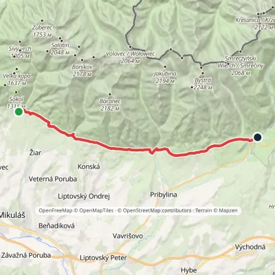 ModerateTwo-dayMarkedTatranská magistrála (Tatra Highway): Na Tokarinách PodbanskéElevation profile789–1 043 m22.2 kmascent 580 m≈ 6.5 h walking8.7 km from the centre
Peaks nearby
All peaks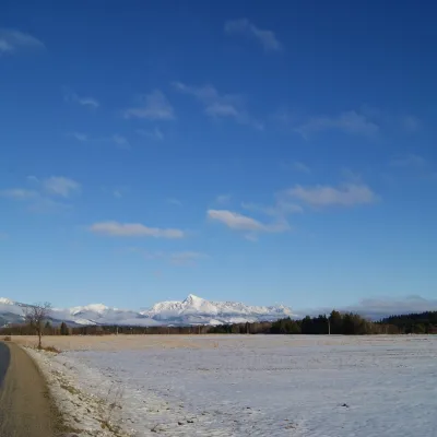 PeakKriváňŠtrbské Plesoaltitude 2 495 m14 km from the centre1 trail to the topKriváň (Polish Krywań) is a 2495 m peak (precisely 2494.7 m) in the south-western part of the High Tatras in Slovakia.
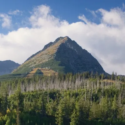 PeakPredné SoliskoŠtrbské Plesoaltitude 2 117 m14 km from the centrePredné Solisko (Polish Skrajne Solisko) is a 2117 m summit at the southern end of the Solisko ridge in the High Tatras, above the resort of Štrbské Pleso, about 20 km...
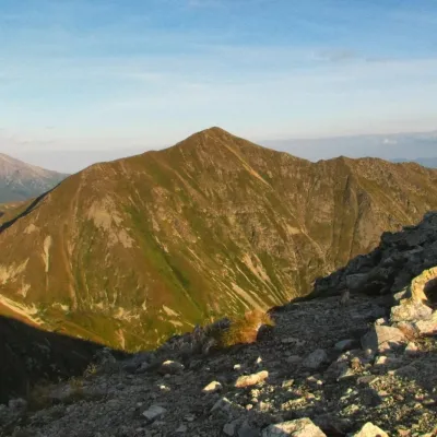 PeakBystráPodbanskéaltitude 2 248 m15 km from the centre2 trails to the topBystrá (Polish: Bystra) is the highest peak of the Western Tatras at 2,248 m. It lies entirely in Slovakia, about 600 m south of the main ridge that carries the Polish...
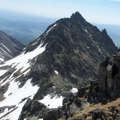 PeakVeľké SoliskoŠtrbské Plesoaltitude 2 412 m15 km from the centreVeľké Solisko (Polish: Wielkie Solisko) is a 2,412 m peak in the Slovak High Tatras and the highest point of the Solisko ridge.
 PeakJakubinaPodbanskéaltitude 2 194 m16 km from the centreJakubina (Polish Raczkowa Czuba) is a 2,194 m summit in the Western Tatras, the second-highest of the range after Bystrá (2,248 m).
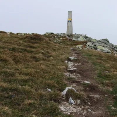 PeakBaranecKonskáaltitude 2 185 m17 km from the centre1 trail to the topBaranec (Polish: Baraniec) is a 2,185 m peak in the Slovak part of the Western Tatras, the third highest in the range after Bystrá and Jakubina.
What to visit
All Eco farmsFarma Východná — organic farm below the TatrasVýchodnáunder 1 km from the centreFarma Východná is the highest-lying organic farm in Liptov, at 930 m in the village of Východná right below the Tatras.
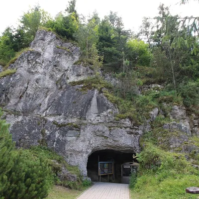 NatureVažecká CaveVažec5.7 km from the centreVažecká Cave (Važecká jaskyňa) is one of the best-known caves in northern Slovakia, even though it is among the shortest show caves.
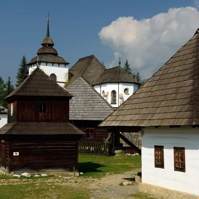 MuseumMuseum of the Liptov Village (Pribylina open-air museum)Pribylina8.7 km from the centreThe Museum of the Liptov Village (Múzeum liptovskej dediny) lies beyond the village of Pribylina on the road to Podbanské, right below the High Tatras.
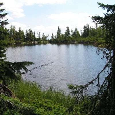 LakeJamské plesoVyšné Hágy12 km from the centreJamské pleso is a small forest lake at the foot of Kriváň, an hour's walk west of Štrbské Pleso. It lies at 1,447 m among the massive moraine ridges of Važecká dolina,...
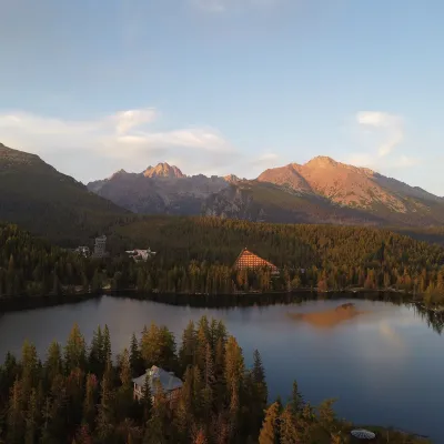 LakeŠtrbské plesoŠtrbské Pleso14 km from the centreŠtrbské pleso is the emblem of the Slovak Tatras: a large mountain lake at 1,346 m surrounded by spruce forest, hotels and High Tatra peaks.
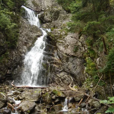 WaterfallKmeťov Waterfall in Kôprová ValleyPodbanské14 km from the centreKmeťov waterfall (Kmeťov vodopád) is a powerful two-step waterfall in the Kôprová dolina valley in the western High Tatras.
Craft nearby
All craft places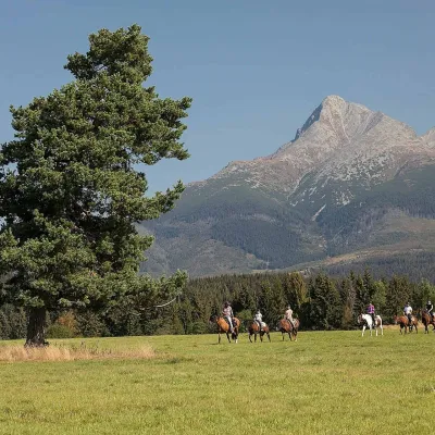 Horse ridingKone vo Východnej: horse rides below the TatrasVýchodná3.9 km from the centreKone vo Východnej (“Horses in Východná”) is a small family horse farm on the meadows above the village of Východná in upper Liptov, with a sweeping view of the High...
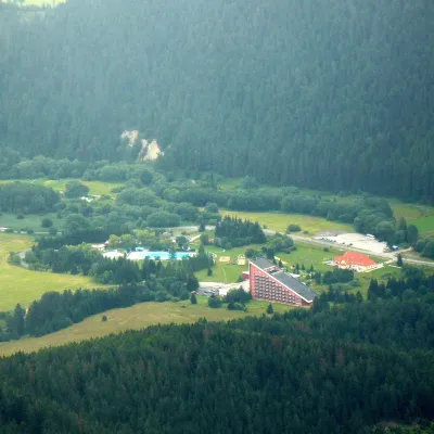 Water parks & thermal poolsTERMAL raj thermal bath, Liptovský JánLiptovský Ján16 km from the centreLiptovský Ján: thermal water at the entrance to Jánska dolina Liptovský Ján is an old village in southern Liptov, about 10 km from Liptovský Mikuláš, at the entrance...
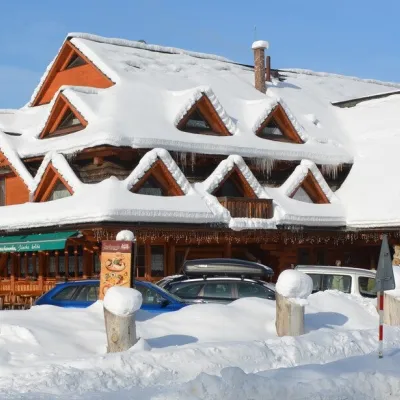 Koliby & Hutsul cuisineKoliba Strachanovka, Jánska valleyLiptovský Ján16 km from the centreKoliba Strachanovka (Jánska koliba) is a large wooden koliba at the entrance to the Jánska valley in the village of Liptovský Ján, which locals consider one of the...
 Craft beer & breweriesLiptovar brewery, Liptovský Mikuláš: craft beer and brewpubLiptovský Mikuláš20 km from the centreLiptovský Mikuláš is the main town of the Liptov region, a short drive from the Low and Western Tatras, the Demänovská Valley and the Liptovská Mara reservoir.
 Water parks & thermal poolsAquapark TatralandiaLiptovský Mikuláš24 km from the centreAquapark Tatralandia is a large year-round water leisure complex near Liptovský Mikuláš, on the northern shore of the Liptovská Mara reservoir.
 Water parks & thermal poolsClimatic spas of the High Tatras: Nový Smokovec, Polianka, KotlinaVysoké Tatry25 km from the centreNový Smokovec is the best known of the climatic spas of the High Tatras. It grew up in a spruce forest at about 1010 m, south-west of Starý Smokovec, with which it...
Spas and thermal pools nearby
Water parks & thermal poolsTERMAL raj thermal bath, Liptovský JánLiptovský Ján16 km from the centreLiptovský Ján: thermal water at the entrance to Jánska dolina Liptovský Ján is an old village in southern Liptov, about 10 km from Liptovský Mikuláš, at the entrance...Water parks & thermal poolsAquapark TatralandiaLiptovský Mikuláš24 km from the centreAquapark Tatralandia is a large year-round water leisure complex near Liptovský Mikuláš, on the northern shore of the Liptovská Mara reservoir.Water parks & thermal poolsClimatic spas of the High Tatras: Nový Smokovec, Polianka, KotlinaVysoké Tatry25 km from the centreNový Smokovec is the best known of the climatic spas of the High Tatras. It grew up in a spruce forest at about 1010 m, south-west of Starý Smokovec, with which it...Huts, shelters and springs nearby
Getting there from Ukraine
Border crossings
- Uzhhorod – Vyšné Nemecké — road, 24/7
- Malyi Bereznyi – Ubľa — road, 24/7 For cars and buses; pedestrians not confirmed by the Ukrainian border service, lorries up to 3.5 t.
- Mali Selmentsi – Veľké Slemence (pedestrian) — pedestrian, 09:00–21:00 Kyiv time Pedestrians and cyclists only; inconvenient for the Tatras without onward transport.
- Chop – Čierna nad Tisou (rail) — rail, 24/7
By car
Uzhhorod – Poprad ≈195 km, ≈2 h 55 min without queues: Uzhhorod – Vyšné Nemecké checkpoint → I/19 via Sobrance and Michalovce → Košice → D1 motorway via Prešov → Poprad (Liptovský Mikuláš is ≈56 km further on the D1, total ≈249 km). Košice – Poprad ≈112 km. The D1 requires an e-vignette (eznamka.sk). Note: from Lviv the fastest way to Poprad is through Poland — Krakovets – A4 – Kraków – Zakopane – Łysa Polana ≈468 km (≈5 h 50 min); via Uzhok and Malyi Bereznyi ≈419 km but slower (≈6 h 40 min). Zakopane – Poprad ≈69 km, Zakopane – Liptovský Mikuláš ≈80 km.
Checked 23.10.2026; border crossing hours and timetables change — check before you travel.
