Vlkanová – Horná Mičiná
Trail map
Route, springs and shelters: © OpenStreetMap contributors (ODbL) · elevation: Copernicus DEM © DLR e.V., © Airbus DS · Data & licences
About the trail
Route Vlkanová – Horná Mičiná. Has yellow marking (regional route №8453, KST). Waymarking data: OpenStreetMap (© OpenStreetMap contributors, ODbL).
Officially marked regional tourist route No. 8453. The marking is yellow, the sign is a horizontal stripe on a white background. Marked and maintained by: KST. Length of the route — 8.6 km. Location: mountain range — Kremnické hory, Slovakia.
At a glance
A short route of 8.6 km with 201 m of ascent from Vlkanová to Horná Mičiná. Estimated walking time: about 2.5 h, not counting stops. Difficulty: easy. Waymarking: yellow.
How we estimate walking time
By Naismith's rule, used by mountain clubs and guidebooks: an average hiker walks 4 km an hour on the flat and needs one more hour for every 600 m of ascent. For this trail: 8.6 km ÷ 4 = 2.2 h + 201 m ÷ 600 = 0.3 h, about 2.5 h of walking in total.
- Breaks, snacks and photos: add 20–30 %.
- A heavy pack, children, snow, a wet path or windfall add more; a long steep descent also takes time, especially for the knees.
- The height of the Carpathians (up to 2,655 m) hardly changes the pace — on the ridges wind, fog and weather slow you down.
- Limits: up to 9 h is one day; 9–13 h is a very long day or two; over 13 h means several days with overnight stays.
Route stages
- 0–4 kmGentle ups and downs at 310–400 m
- 4–6.5 kmClimb of 110 m (up to 500 m)
- 6.5–8.5 kmGentle ups and downs at 430–510 m
Water and overnight stays
A spring near the trail: at km 8.5. There are no springs between km 0 and 8.5 — carry at least 1.5 l of water.
When to go
The route can be walked most of the year; it is most comfortable from April to October.
Getting there
Start: Vlkanová. This is a one-way route: the finish is 6 km from the start in a straight line, so plan your way back in advance.
FAQ
- How long does the route take?
- Estimated walking time: about 2.5 h, not counting stops.
- Is there water on the route?
- A spring near the trail: at km 8.5. There are no springs between km 0 and 8.5 — carry at least 1.5 l of water.
Water and shelter on the route
- Spring below Stráž (west slope)km 8.6 from the start · 160 m off the path · Not verified · 432 m
Comments and trail condition
Travellers’ experience: reports, tips, questions.
No one has reported on this trail yet. Been here lately? Tell others what it is like now.
Wildlife along the route
All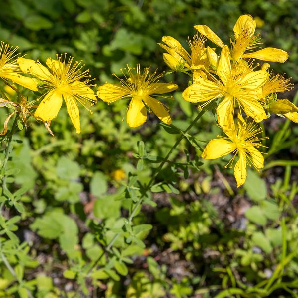
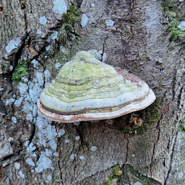
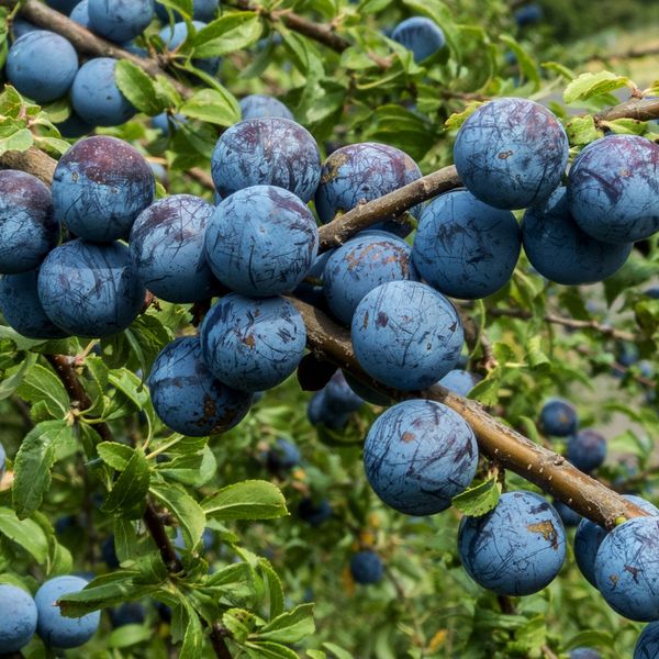
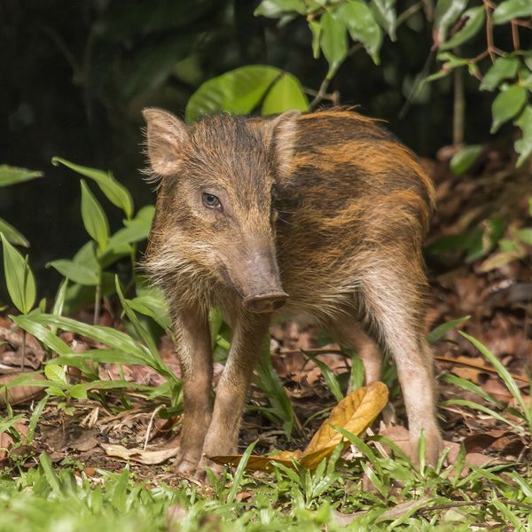
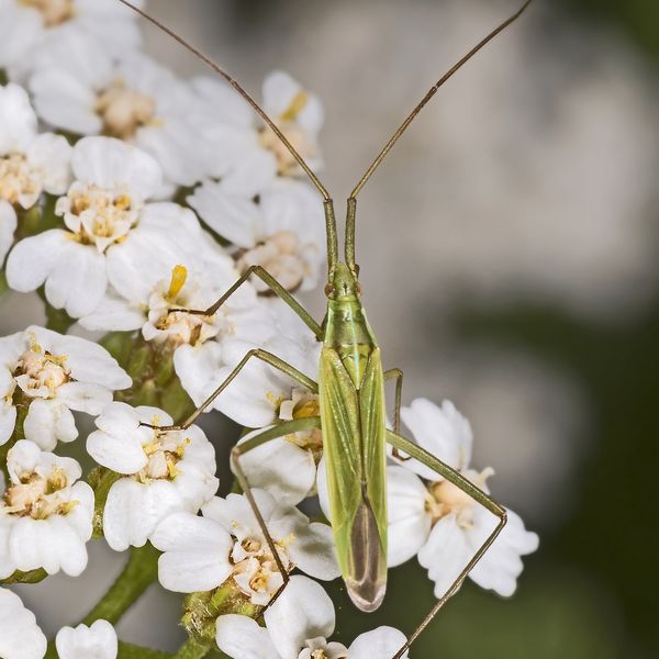

- Brown bears live in this area — how to behave
- Mushroom season — but never identify a mushroom from a photo alone
Based on naturalists’ records nearby (GBIF, iNaturalist), matched by altitude, habitat and season. Sightings are not guaranteed.
Trails nearby
All trails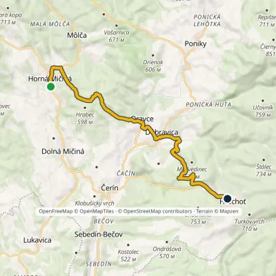
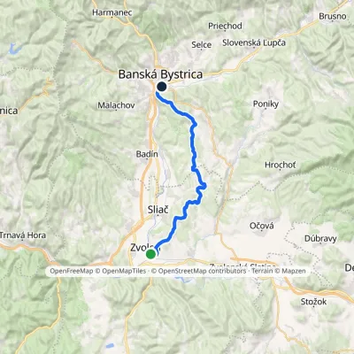
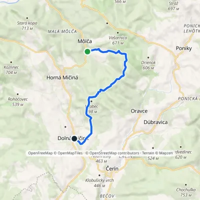
Craft nearby
All craft places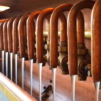 Craft beer & breweriesUrpiner brewery in Banská Bystrica: tour and beer from the tankBanská Bystrica4.3 km from the trailBanská Bystrica is the centre of Central Slovakia and grew rich on copper mining in the 14th–16th centuries.
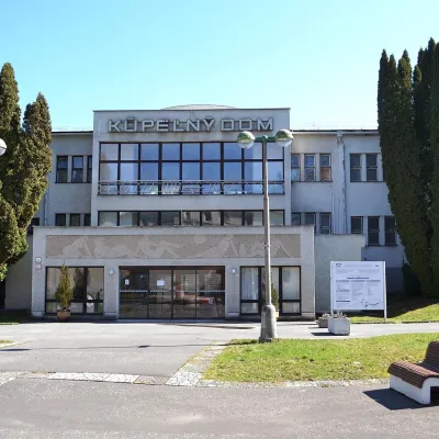 Water parks & thermal poolsSliač spa: warm carbonated water and a thermal swimming areaSliač6.5 km from the trailSliač is a spa in the Zvolen Basin above the Hron valley, between Zvolen and Banská Bystrica. The spa quarter with its 46-hectare park lies on a slope above the former...
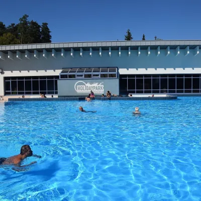 Water parks & thermal poolsKováčová: thermal spa and Holidaypark aquapark near ZvolenKováčová7.4 km from the trailKováčová is a spa village on the south-western edge of the Zvolen Basin, 4 km west of Zvolen at the foot of the Kremnica Mountains; the village centre lies at 303 m.
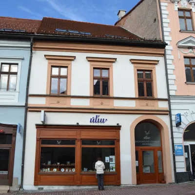 Craft shopsÚĽUV Banská Bystrica: folk-craft shop and craft schoolBanská Bystrica7.4 km from the trailÚĽUV (Ústredie ľudovej umeleckej výroby, the Centre for Folk Art Production) is a state institution that has looked after Slovak folk crafts since 1945: it keeps a...
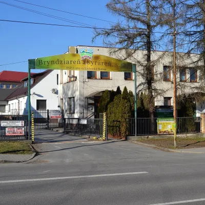 Cheese dairies & pasturesZvolenská Slatina bryndza dairy: the oldest, since 1797Zvolenská Slatina15 km from the trailBryndza with more than 220 years behind it Zvolenská Slatina is a large village in the Podpoľanie region, a few kilometres from Zvolen, at the foot of the volcanic...
 Craft producersKremnica gingerbread: the Haurík family bakery since 1922Kremnica17 km from the trailKremnica is an old mining town in the Kremnica Mountains where coins have been struck for more than six centuries.
