Mount Zelemin
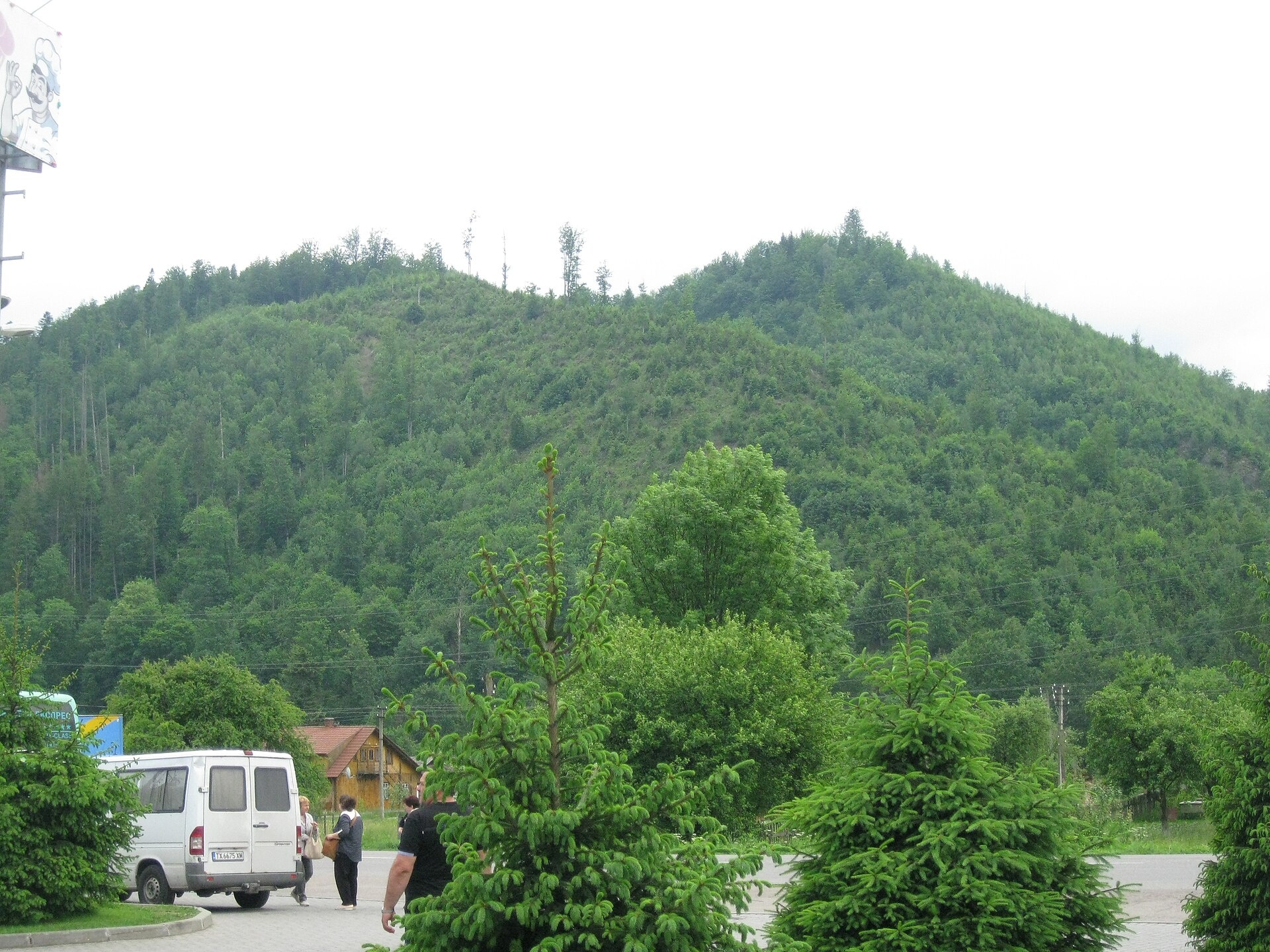
Zelemin is a 1,177 m summit in the north-western part of the Zelemianka ridge in the Skole Beskids (Lviv Oblast). The nearest settlements are Hrebeniv (about 3.6 km), Korostiv and Skole (both about 4.8 km). From the summit the ridge runs south-east towards Kudriavets and Lopata (1,211 m, about 2.8 km).
On the slopes of the Zelemianka ridge north-east of Hrebeniv lies the local Zelemin landscape reserve (1,496 ha), created to protect beech and spruce forest and scientifically valuable elfin beech woodland. Lower hills stand around the summit: Plishka (1,068 m) about 540 m to the north, Sharobialka (1,178 m) about 1.2 km to the south-east, and beyond it Kudriavets (1,242 m, about 2.3 km).
How to get there
Two of our routes from Skole to Lopata pass closest to the summit, about 30 and 60 m away: Skole – Mount Lopata – Skole (14.9 km, about 970 m of ascent) and Skole – Mount Lopata – Kamianka Waterfall – Dubyna (25.7 km), which descends to the Kamianka waterfall. Two more, Skole – Mount Kudriavets – Mount Lopata – Skole (21.2 km) and Skole – Mount Lopata – Mount Kudriavets – Demnia – Skole (20.9 km), pass Zelemin about 150–160 m away.
Water, shelter and safety
On our map the nearest water is a stream about 180 m to the north-east, at roughly 1,120 m; a spring is marked about 770 m to the north (about 980 m). The condition of both is unconfirmed, so it is better to carry water from Skole. A shelter near Hrebeniv stands about 2.3 km to the south. The slopes are wooded, and in fog it is easy to mix up the paths on the crest. The nearest summit with our forecast is Parashka, about 10 km away: weather on Parashka. Do not light fires or pick plants inside the reserve. In an emergency call 112 or 101 — mountain rescue works around the clock.
Interesting facts
- Red Book species grow in the Zelemin reserve — perennial honesty, wild garlic and martagon lily — and roe deer, wild boar, red squirrels and martens live here.
- Part of the reserve belongs to the Skole Beskids National Park.
Photos: ValeriySh, CC BY-SA 4.0 — Wikimedia Commons.
Comments
Travellers’ experience: reports, tips, questions.
No one has reported on this trail yet. Been here lately? Tell others what it is like now.
Location on the map
Water and shelter nearby
- Stream water (Hrebeniv)180 m · Not verified · 1 121 m
- Spring (Skole, 6)770 m · Not verified · 976 m
- Spring below Mount Lopata (2)2.3 km · Not verified · 1 059 m
- Spring (Skole, 5)2.6 km · Not verified · 461 m
- Spring below Mount Lopata2.7 km · Not verified · 1 095 m
- Mineral spring “Upper Naftusia”2.7 km · Not verified · 521 m
- Spring (Skole, 4)2.8 km · Not verified · 449 m
Wildlife nearby
All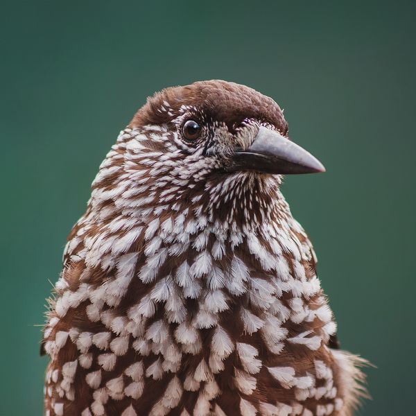
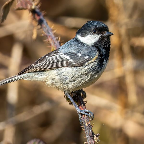
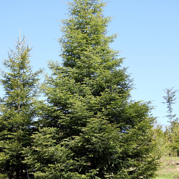
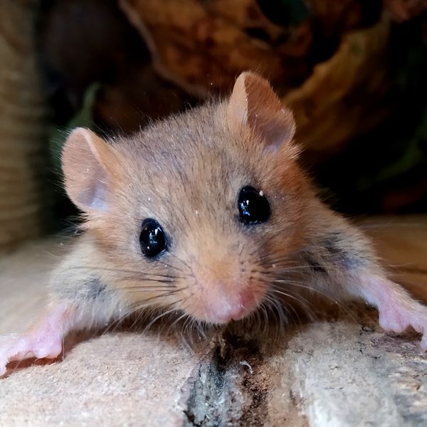
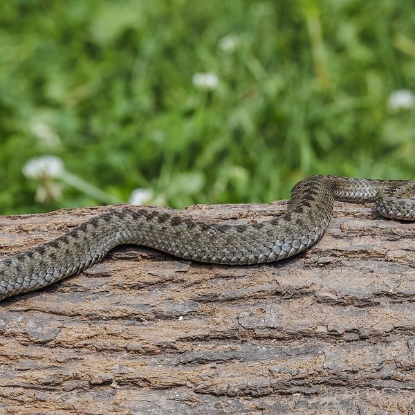
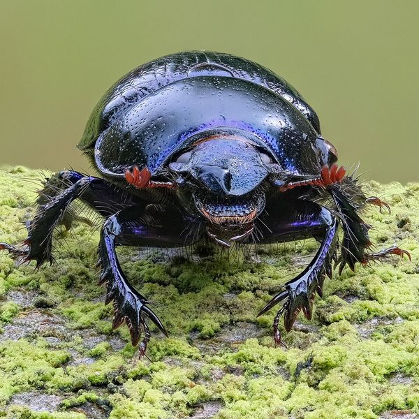
Based on naturalists’ records nearby (GBIF, iNaturalist), matched by altitude, habitat and season. Sightings are not guaranteed.
Places to stay nearby
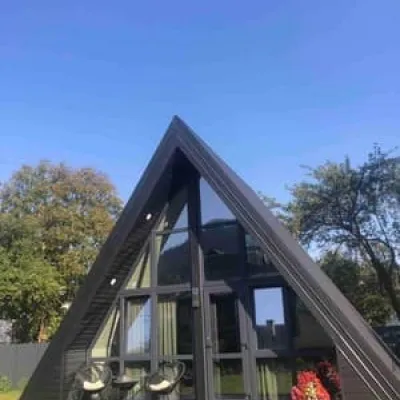
All stays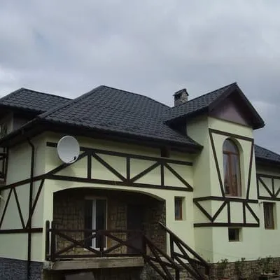 HotelZarinekSkole3.9 km from Mount ZeleminPoolSaunaBBQNearby: Gredl Palace 1.7 kmKamianka waterfall 3.7 km30 trailsfrom 1 100 UAH per night
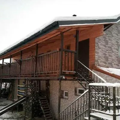
 HotelSerce KarpatSkole3.9 km from Mount ZeleminHot tubPoolBBQNearby: Gredl Palace 1.3 kmKamianka waterfall 4.3 km29 trailsfrom 2 420 UAH per night
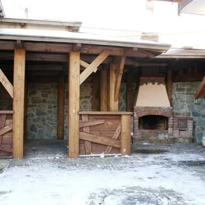
 HotelEko-lyuksSkole3.9 km from Mount ZeleminPoolBBQParkingNearby: Gredl Palace 1.7 kmKamianka waterfall 3.7 km30 trailsfrom 1 210 UAH per night
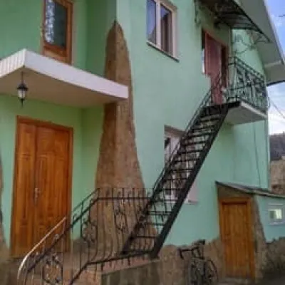
 HotelVivcharykSkole4.1 km from Mount ZeleminSaunaParkingWi‑FiNearby: Gredl Palace 1.6 kmKamianka waterfall 4.0 km29 trailsfrom 2 200 UAH per night
 HotelDolche VitaSkole4.1 km from Mount ZeleminPoolBBQParkingNearby: Gredl Palace 1.9 kmKamianka waterfall 3.7 km30 trailsfrom 1 540 UAH per night
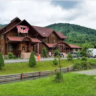 MotelOkeySkole4.4 km from Mount ZeleminParkingWi‑FiKidsNearby: Tomb of Prince Sviatoslav 2.3 kmGredl Palace 3.9 km8 trailsfrom 1 400 UAH per night
Trails via Mount Zelemin
All 1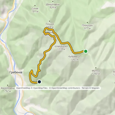
Nearby attractions
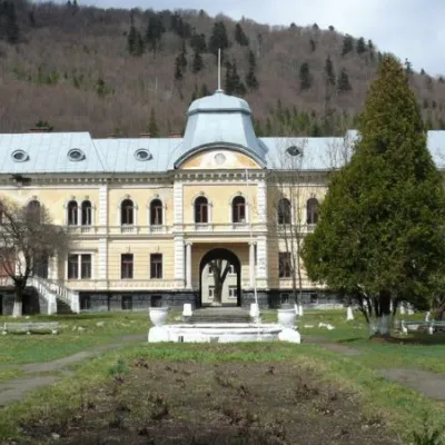 ArchitectureGredl Palace, SkoleSkole3.1 km from Mount ZeleminCaptivates with its sacred architecture Gredl Palace. The park is now home to rare species of trees that are under special protection, including: double-lobed gingo,...
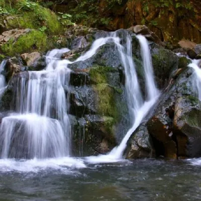 WaterfallKamianka waterfallDubyna · Skole Beskids5.9 km from Mount Zeleminheight 6 m533 m above sea level"Kamianka Waterfall or Kamianka Waterfall is the most famous waterfall located on the mountain river of the same name near the village of Dubyna, Skole district, Lviv...
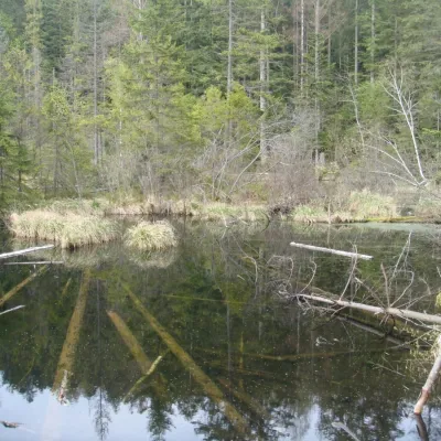 LakeLake Zhuravlyne (Dead Lake)Kamianka · Skole Beskids6.4 km from Mount Zelemin599 m above sea levelThere is one mysterious place in the Skole Beskydy National Nature Park - Zhuravlyne Lake, also called Dead Lake.
Craft nearby
All craft places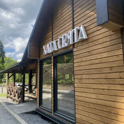 Koliby & Hutsul cuisineKhata Sviata Restaurant, HrebenivHrebeniv3.2 km from Mount ZeleminKhata Sviata restaurant is a small timber restaurant in the village of Hrebeniv between Skole and Slavske, serving Boyko cooking in a modern way but with respect for...
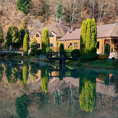 Koliby & Hutsul cuisineZolota Forel restaurant, KorostivKorostiv5.9 km from Mount ZeleminZolota Forel (“Golden Trout”) is a restaurant and hotel complex in the village of Korostiv near Skole, right beside the Kyiv–Chop highway.
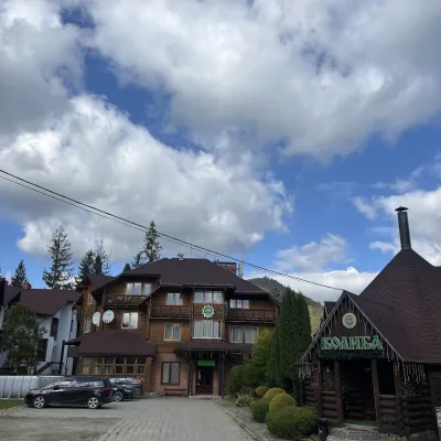 Koliby & Hutsul cuisineKoliba “Smerekova Khata”, SlavskeSlavske16 km from Mount ZeleminKolyba “Smerekova Khata” is the ethno-restaurant of the hotel complex of the same name at the entrance to Slavske, one of the best-known mountain resorts of the Boyko...
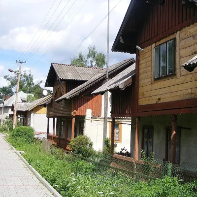 Ethno tours & guidesBarvy Karpat Excursions, SlavskeSlavske16 km from Mount ZeleminBarvy Karpat («Colours of the Carpathians») is a small local excursion organiser based in Slavske, one of the best-known resorts of the Skole Beskids.
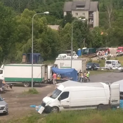 Markets & fairsFriday Market, SlavskeSlavske17 km from Mount ZeleminThe Friday market in Slavske is a real mountain bazaar of the Boyko region, where sellers and shoppers from the surrounding villages of the Skole Beskids gather every...
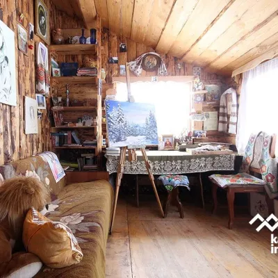 Crafts & workshopsViktoria Art Gallery, SlavskeSlavske17 km from Mount ZeleminThe Viktoria Art Gallery in Slavske is a small family gallery and studio where art lives not behind glass but in the homely atmosphere of a wooden house.
