No. 5043 Dzhershyn — Mount Lopata, via Zelemin, Kudriavets
Trail map
Route, springs and shelters: © OpenStreetMap contributors (ODbL) · elevation: Copernicus DEM © DLR e.V., © Airbus DS · Data & licences
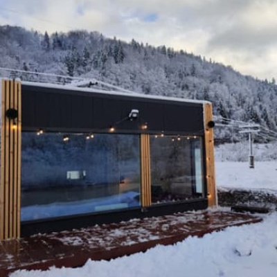
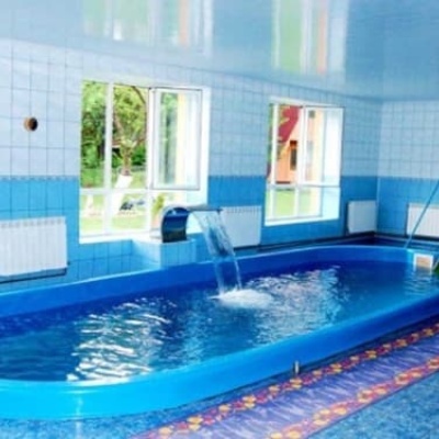
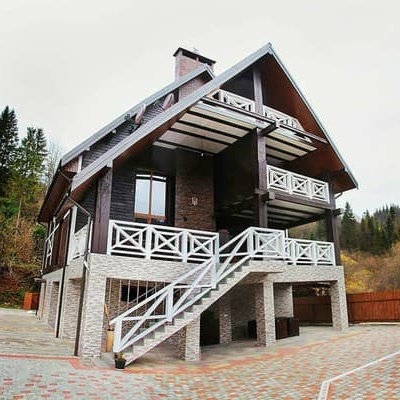
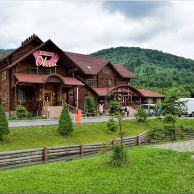
Where to stay nearby
About the trail
Route No. 5043 Dzhershyn – Zelemin – Kudriavets – Mount Lopata. Has yellow marking (local route). Waymarking data: OpenStreetMap (© OpenStreetMap contributors, ODbL).
Officially marked local tourist route. The marking is yellow, the sign is a horizontal stripe on a white background. The length of the route is 10.2 km. Location: mountain range – Skole Beskids, Lviv region.
At a glance
A one-day route of 10.2 km with 801 m of ascent from Dzhershyn to Mount Lopata. Estimated walking time: about 4 h, not counting stops. Difficulty: moderate. Waymarking: yellow.
Route stages
- 0–7 kmClimb of 560 m to Mount Zelemin (1,177 m)
- 7–10 kmGentle ups and downs at 1,110–1,210 m, past Mount Kudriavets, Mount Lopata
Steepest kilometre: km 6–7, a climb of 130 m (≈13%), near Mount Zelemin.
Water and overnight stays
Springs near the trail: at km 7 and 10.
Places to stay near the start and finish: Skole.
When to go
Best time: May to October. In winter deep snow is possible, so experience and winter gear are needed.
Getting there
Start: Dzhershyn. Most places to stay near the start are in Skole. This is a one-way route: the finish is 4 km from the start in a straight line, so plan your way back in advance.
FAQ
- How long does the route take?
- Estimated walking time: about 4 h, not counting stops.
- Is there water on the route?
- Springs near the trail: at km 7 and 10.
- Where can I stay overnight?
- Places to stay near the start and finish: Skole.
Water and shelter on the route
- Stream water (Hrebeniv)km 6.8 from the start · 150 m off the path · Not verified · 1 121 m
- Spring below Mount Lopata (3)km 10.2 from the start · 220 m off the path · Not verified · 1 159 m
Before you go, check the border-regime restrictions: Border Guard permit for mountain hikes (in Ukrainian)
Comments
Trails nearby
All trails ModerateTwo-dayMarkedSkole loopvia Mount LopataElevation profile437–1 211 m17.3 kmascent 766 m≈ 6 h walking
 ModerateTwo-dayHrebeniv village to Skolevia Kudriavets village, Lopata villageElevation profile437–1 242 m16.9 kmascent 779 m≈ 6 h walking
 HardMulti-dayKamianka village to Krushelnytsia villagevia Mount Lopata, Skole +1Elevation profile396–1 268 m51.1 kmascent 1 877 m
Craft nearby
All craft places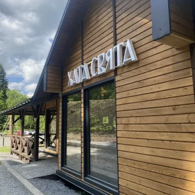 Koliby & Hutsul cuisineKhata Sviata Restaurant, HrebenivHrebeniv3.8 km from the trailKhata Sviata restaurant is a small timber restaurant in the village of Hrebeniv between Skole and Slavske, serving Boyko cooking in a modern way but with respect for...
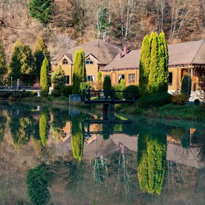 Koliby & Hutsul cuisineZolota Forel restaurant, KorostivKorostiv7.1 km from the trailZolota Forel (“Golden Trout”) is a restaurant and hotel complex in the village of Korostiv near Skole, right beside the Kyiv–Chop highway.
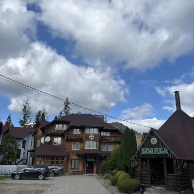 Koliby & Hutsul cuisineKoliba “Smerekova Khata”, SlavskeSlavske12 km from the trailKolyba “Smerekova Khata” is the ethno-restaurant of the hotel complex of the same name at the entrance to Slavske, one of the best-known mountain resorts of the Boyko...
 Ethno tours & guidesBarvy Karpat Excursions, SlavskeSlavske13 km from the trailBarvy Karpat («Colours of the Carpathians») is a small local excursion organiser based in Slavske, one of the best-known resorts of the Skole Beskids.
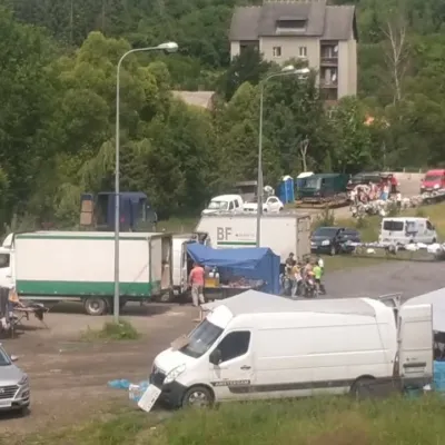 Markets & fairsFriday Market, SlavskeSlavske13 km from the trailThe Friday market in Slavske is a real mountain bazaar of the Boyko region, where sellers and shoppers from the surrounding villages of the Skole Beskids gather every...
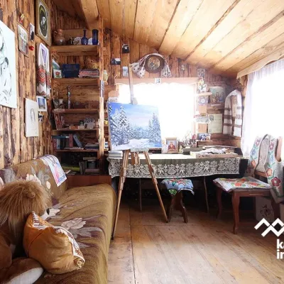 Crafts & workshopsViktoria Art Gallery, SlavskeSlavske13 km from the trailThe Viktoria Art Gallery in Slavske is a small family gallery and studio where art lives not behind glass but in the homely atmosphere of a wooden house.
