Mount Zhenets
Zhenets is a 1,414 m summit in the south-eastern Gorgany, in the Nadvirna district of Ivano-Frankivsk Oblast. It is the third highest peak of the Yavirnyk ridge and the most remote one on hiking routes, rising 600–700 m above the Prut valley. The nearest settlements are Polianytsia (Bukovel) (about 8 km) and Mykulychyn (about 10 km); hikes along Yavirnyk usually start in Yaremche.
The mountain is roof-shaped and built of sandstone. Near the top there are boulder fields and scree, lower down mountain meadows and dwarf pine, while the middle and lower slopes are covered with mixed and coniferous forest. From Zhenets you can see Syniak to the south and Dovbushanka to the north-west.
How to get there
Several of our routes along the Yavirnyk ridge cross Zhenets or pass within 50 m of it:
- Yaremche – Yavirnyk ridge – Mykulychyn, 24.2 km;
- Yaremche – Yavirnyk ridge – Divochi Slozy Waterfall – Yaremche, 27.3 km, a loop back to town;
- Yaremche – Mount Yavirnyk – Polianytsia (Bukovel), 36.1 km;
- Tatariv – Khomiak – Syniak – Yavirnyk – Divochi Slozy Waterfall – Yaremche, 29.7 km.
For a longer crossing try Dora – Syniachka – Pereslip pass – Turshuhuvata meadow – Yavirnyk ridge – Yaremche (50.1 km).
Water, shelter and safety
On our map the nearest spring is about 500 m from the summit, with several more 0.9–1.1 km away towards Polianytsia; a hut above Polianytsia stands about 650 m away and a weather shelter about 1 km away. Zhenets is far from villages and rarely visited, so be self-reliant: carry enough water, warm layers and a charged phone, and start early to be down before dark. In fog it is easy to lose the path on the boulder fields. In an emergency call 112 or 101 — mountain rescue works around the clock.
Interesting facts
- Zhenets is rarely visited: it lies farthest along the ridge routes and is hard to reach.
- Its slopes are cut by streams of the Prut basin: the southern one by tributaries of the Zhenets, the northern one by the Bahrovets, Zhonka and Yavirnytskyi streams.
Comments
Places to stay nearby
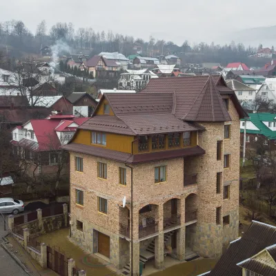 HotelGuest House "Beskyid"5.7 km from Mount ZhenetsKitchenWi‑FiPetsNearby: Probiy waterfall 1.7 kmDovbush trail in Yaremche 2.9 km33 trails
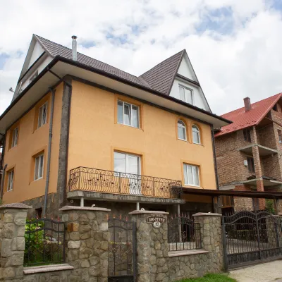 HotelGuest House "U Almy"6.2 km from Mount ZhenetsKitchenTransferNearby: Probiy waterfall 1.2 kmDovbush trail in Yaremche 1.9 km31 trails
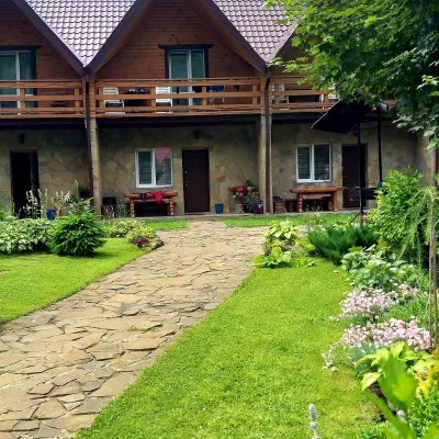 CottageCottages of Kiprey in Yaremche6.7 km from Mount ZhenetsPoolBBQKitchenNearby: Probiy waterfall 1.4 kmDovbush trail in Yaremche 900 m31 trails
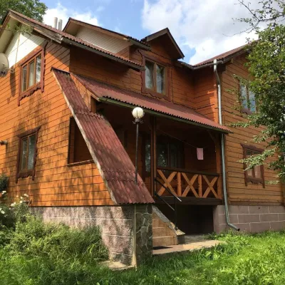 CottageCottage "V Sadu"6.9 km from Mount ZhenetsThe access to the cottage is via an asphalt road. Two-story cottage for 8-9 guests.Nearby: Probiy waterfall 1.8 kmDovbush trail in Yaremche 1.7 km31 trails
 Cottage"Shchivky"8.1 km from Mount ZhenetsLiving room (fold-out sofa, table with chairs, TV, balcony; kitchenette — electric kettle, sink); double room (double bed, wardrobe, TV, balcony);Nearby: Mt Sinyak 4.7 kmPerevernuty Khata 2.5 km18 trails
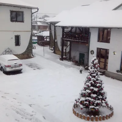 CottageApartments "U Kuzmycha", Mykulychyn9 km from Mount ZhenetsPoolBBQKitchenNearby: Dovbush trail in Yaremche 4.1 kmDovbush's stone 4.1 km25 trails
Trails nearby
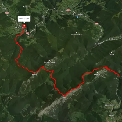 HardMulti-dayUnmarkedTatariv village to Yaremchevia Mount Khomiak, Mount Syniak +2Elevation profile527–1 668 m29.7 kmascent 1 326 m≈ 10 h walkingunder 1 km from Mount Zhenets
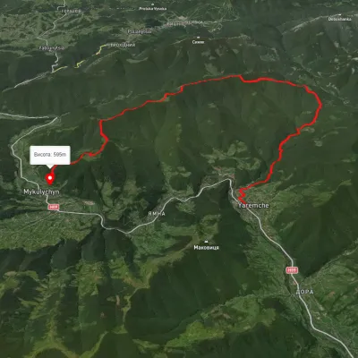 HardMulti-dayUnmarkedYaremche to Mykulychyn villagevia the Yavirnyk ridgeElevation profile521–1 442 m24.2 kmascent 1 227 m≈ 8.5 h walkingunder 1 km from Mount Zhenets
 HardMulti-dayUnmarkedYaremche to Polianytsia (Bukovel) villagevia Mount YavirnykElevation profile553–1 464 m36.1 kmascent 1 708 m≈ 12.5 h walkingunder 1 km from Mount Zhenets
Nearby attractions
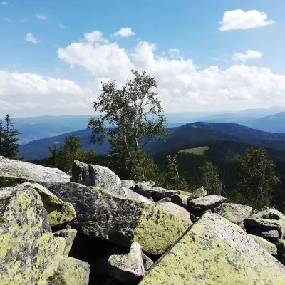 PeakMount Yavirnyk-Gorganaltitude 1 467 m · Gorgany range1.8 km from Mount ZhenetsYavirnyk-Gorgan is the highest summit of the Yavirnyk ridge in the south-eastern Gorgany, 1,467 m high.
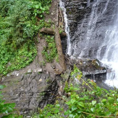 WaterfallZhenetsky Hook waterfall3.2 km from Mount ZhenetsZhenetskyi Huk is one of the most convenient Carpathian waterfalls for tourists, as it is accessible by a direct, asphalt road.
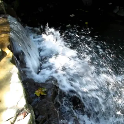 WaterfallBagrovetsky waterfall3.3 km from Mount ZhenetsBagrovetsky Waterfall is one of the most famous waterfalls in the Yaremche region, located in the city of Yaremche.