East Carpathian Tourist Trail
Trail map
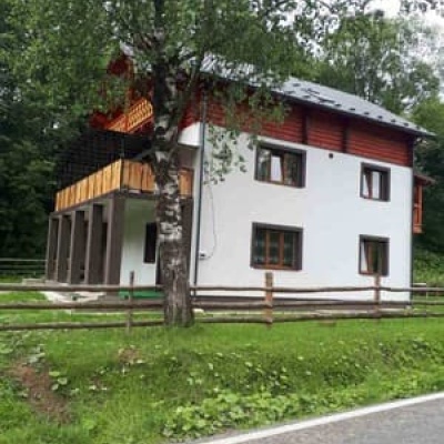
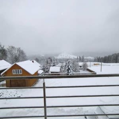
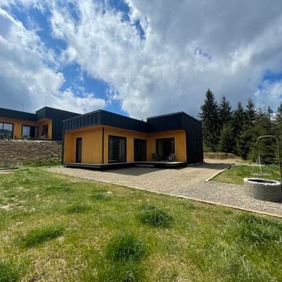
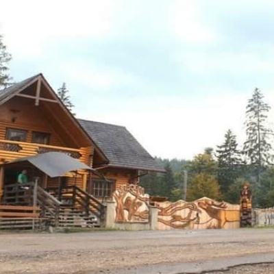
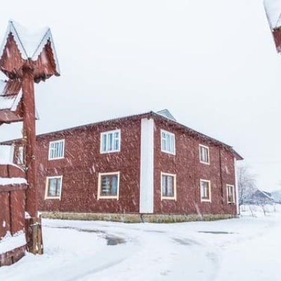
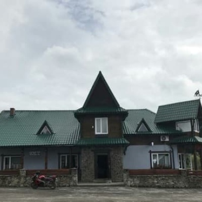
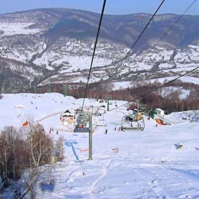
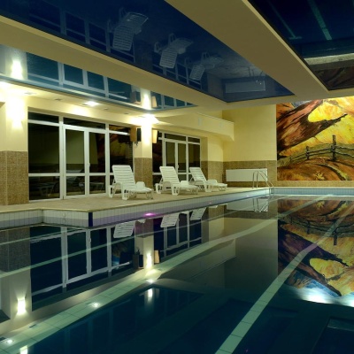
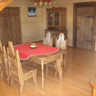
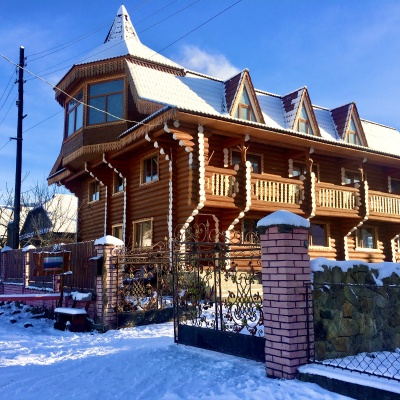
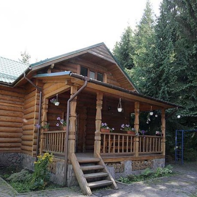
Where to stay nearby

About the trail
Route East Carpathian Tourist Trail. Has red marking (international, long-distance or mountain routes). Along the route you will see: Kostrich Ridge, Kryvopillia Pass, Kryvopillia, Mount Khorde, Mount Lisniv, Polonyna Khomyakov, Mount Khomiak and 21 more.
At a glance
A multi-day route of 178.3 km with 14,105 m of ascent. Estimated time: 10 days of 3–9 h of walking (about 68 h in total, not counting stops). Difficulty: hard. Waymarking: red.
Route stages
- 0–178 kmGentle ups and downs at 630–1,810 m, past Mount Mala Sivulya, Mount Velyka Sivulya, Mount Igrovets, Gora Vysoka
Steepest kilometre: km 140–141, a descent of 380 m (≈38%), near Hut below Mount Kin-Hrofetskyi.
Water and overnight stays
Springs near the trail: at km 4, 7, 9, 16, 18, 20, 22, 25, 27 and 28 etc.. There are no springs between km 123 and 141 — carry at least 4.5 l of water. Some springs run low or dry up in late summer.
Huts and shelters near the trail: Mountain shelter below Mount Khorde (km 22), Mountain shelter (Tatariv) (km 27), Hut below Mount Kuniklyva (km 31), Hut below Mount Lisniv (3) (km 31), Hut below Mount Lisniv (km 33), Mountain shelter on Polonyna Khomiakiv (2) (km 47), Mountain shelter on Polonyna Khomiakiv (3) (km 47), Mountain shelter on Polonyna Khomiakiv (km 47) etc.. Places to stay near the start: Verkhovyna; near the finish: Vyshkiv.
A possible split into days:
- Day 1: km 0–22, ≈8.5 h — overnight: Mountain shelter below Mount Khorde (hut)
- Day 2: km 22–33, ≈3.5 h — overnight: Hut below Mount Lisniv (hut)
- Day 3: km 33–54, ≈9 h — overnight: Mountain shelter on Polonyna Blazhniv (hut)
- Day 4: km 54–69, ≈5 h — overnight: Hut below Mount Ploska (hut)
- Day 5: km 69–91, ≈8 h — overnight: Hut on Polonyna Negrova (hut)
- Day 6: km 91–108, ≈7.5 h — overnight: Hut on Matahiv ridge (hut)
- Day 7: km 108–126, ≈6.5 h — overnight: no shelter nearby on the map, bring a tent
- Day 8: km 126–141, ≈7 h — overnight: Hut below Mount Kin-Hrofetskyi (hut)
- Day 9: km 141–159, ≈6.5 h — overnight: no shelter nearby on the map, bring a tent
- Day 10: km 159–178, ≈7 h — finish
When to go
Best time: June to September. In winter only for experienced hikers with proper gear: avalanche danger is possible. About 31 km of the route runs above 1,500 m, where the weather changes quickly — check the forecast.
Getting there
Most places to stay near the start are in Verkhovyna. This is a one-way route: the finish is 96 km from the start in a straight line, so plan your way back in advance.
FAQ
- How long does the route take?
- Estimated time: 10 days of 3–9 h of walking (about 68 h in total, not counting stops).
- Is there water on the route?
- Springs near the trail: at km 4, 7, 9, 16, 18, 20, 22, 25, 27 and 28 etc.. There are no springs between km 123 and 141 — carry at least 4.5 l of water. Some springs run low or dry up in late summer.
- Where can I stay overnight?
- Huts and shelters near the trail: Mountain shelter below Mount Khorde (km 22), Mountain shelter (Tatariv) (km 27), Hut below Mount Kuniklyva (km 31), Hut below Mount Lisniv (3) (km 31), Hut below Mount Lisniv (km 33), Mountain shelter on Polonyna Khomiakiv (2) (km 47), Mountain shelter on Polonyna Khomiakiv (3) (km 47), Mountain shelter on Polonyna Khomiakiv (km 47) etc.. Places to stay near the start: Verkhovyna; near the finish: Vyshkiv. Possible overnight stops: Mountain shelter below Mount Khorde (km 22), Hut below Mount Lisniv (km 33), Mountain shelter on Polonyna Blazhniv (km 54), Hut below Mount Ploska (km 69), Hut on Polonyna Negrova (km 91), Hut on Matahiv ridge (km 108), Hut below Mount Kin-Hrofetskyi (km 141).
Water and shelter on the route
- Spring (Kryvopillia, 10)km 4.1 from the start · Not verified · 1 264 m
- Spring (Kryvopillia, 18)km 6.8 from the start · Not verified · 1 069 m
- Spring (Kryvopillia, 21)km 8.8 from the start · 60 m off the path · Not verified · 958 m
- Spring (Volova, 3)km 15.8 from the start · 70 m off the path · Not verified · 1 209 m
- Spring below Mount Khordekm 18.4 from the start · Not verified · 1 324 m
- Spring below Mount Khorde (6)km 20.2 from the start · Not verified · 1 196 m
- Spring below Mount Khorde (5)km 21.2 from the start · Not verified · 1 228 m
- Spring below Mount Khorde (7)km 22.4 from the start · 170 m off the path · Not verified · 1 284 m
- Mountain shelter below Mount Khordekm 22.5 from the start · 60 m off the path · Not verified · 1 313 m
- Spring (Volova, 5)km 25.2 from the start · Not verified · 1 299 m
- Mountain shelter (Tatariv)km 26.6 from the start · Not verified · 1 240 m
- Spring (Tatariv, 12)km 27 from the start · 50 m off the path · Not verified · 1 204 m
- Spring (Tatariv, 11)km 28 from the start · Not verified · 1 211 m
- Spring (Tatariv, 10)km 30 from the start · 180 m off the path · Not verified · 1 166 m
- Hut below Mount Kuniklyvakm 31.1 from the start · 100 m off the path · Not verified · 1 175 m
- Hut below Mount Lisniv (3)km 31.2 from the start · 70 m off the path · Not verified · 1 188 m
- Spring below Mount Lisniv (8)km 31.2 from the start · 140 m off the path · Not verified · 1 166 m
- Spring below Mount Lisniv (7)km 31.7 from the start · 160 m off the path · Not verified · 1 226 m
- Hut below Mount Lisnivkm 33.1 from the start · 180 m off the path · Standing · 1 172 m
- Spring below Mount Lisniv (6)km 33.2 from the start · 140 m off the path · Not verified · 1 167 m
- Spring below Mount Lisniv (5)km 34.3 from the start · 150 m off the path · Not verified · 1 149 m
- Spring (Tatariv, 8)km 37.7 from the start · Not verified · 756 m
- Spring (Tatariv, 4)km 39.4 from the start · 120 m off the path · Not verified · 652 m
- Spring (Tatariv, 3)km 40.8 from the start · Not verified · 840 m
- Stream water (Tatariv)km 41.5 from the start · Not verified · 889 m
- Spring below Mount Khomiak (11)km 43.7 from the start · Not verified · 1 085 m
- Spring on Polonyna Khomiakiv (2)km 47 from the start · 180 m off the path · Not verified · 1 336 m
- Mountain shelter on Polonyna Khomiakiv (2)km 47.3 from the start · 130 m off the path · Not verified · 1 312 m
- Mountain shelter on Polonyna Khomiakiv (3)km 47.3 from the start · Not verified · 1 325 m
- Mountain shelter on Polonyna Khomiakivkm 47.3 from the start · Standing · 1 324 m
- Mountain shelter on Polonyna Khomiakivkm 47.4 from the start · 180 m off the path · Not verified · 1 301 m
- Spring below Mount Khomiakkm 49 from the start · 80 m off the path · Not verified · 1 410 m
- Spring on Polonyna Blazhiv (4)km 54.3 from the start · 90 m off the path · Dried up · 1 293 m
- Mountain shelter on Polonyna Blazhnivkm 54.3 from the start · 110 m off the path · Not verified · 1 290 m
- Spring (Polianytsia (Bukovel), 3)km 61 from the start · 90 m off the path · Not verified · 1 093 m
- Hut below Mount Dovhakm 62.4 from the start · 290 m off the path · Not verified · 1 241 m
- Shepherds' hut below Mount Dovhakm 62.4 from the start · 290 m off the path · Not verified · 1 241 m
- Spring (Polianytsia (Bukovel), 2)km 63.4 from the start · 60 m off the path · Not verified · 1 294 m
- Hut (Polianytsia (Bukovel))km 63.7 from the start · Not verified · 1 303 m
- Spring below Mount Ploska (2)km 67.5 from the start · 150 m off the path · Not verified · 1 246 m
- Hut below Mount Ploskakm 68.5 from the start · Poor condition · 1 249 m
- Stream water (Bystrytsia, 5)km 78.3 from the start · Not verified · 767 m
- Spring (Bystrytsia, 14)km 80.4 from the start · Not verified · 854 m
- Stream water (Bystrytsia, 4)km 81.8 from the start · Not verified · 836 m
- Hut (Bystrytsia, 3)km 82.7 from the start · 40 m off the path · Not verified · 842 m
- Hut (Bystrytsia, 2)km 82.8 from the start · Not verified · 850 m
- Stream water (Bystrytsia)km 82.8 from the start · 110 m off the path · Not verified · 849 m
- Hut (Bystrytsia)km 82.9 from the start · Not verified · 851 m
- Stream water (Bystrytsia, 3)km 85 from the start · Not verified · 930 m
- Stream water (Bystrytsia, 2)km 85.5 from the start · Not verified · 966 m
- Mountain shelter on Polonyna Boiarynkm 86.6 from the start · 110 m off the path · Not verified · 1 201 m
- Spring below Mount Boiarynkm 88.6 from the start · Not verified · 1 368 m
- Spring below Mount Nehrova (3)km 90.3 from the start · Dried up · 1 428 m
- Hut below Mount Nehrovakm 90.5 from the start · Not verified · 1 404 m
- Hut on Polonyna Negrovakm 90.6 from the start · Standing · 1 432 m
- Spring on Polonyna Rushchyna (7)km 91.7 from the start · 100 m off the path · Not verified · 1 396 m
- Spring on Polonyna Rushchyna (4)km 92.4 from the start · 50 m off the path · Not verified · 1 437 m
- Spring below Mount Borevka (4)km 99.4 from the start · Not verified · 1 384 m
- Drinking water below Mount Borevkakm 100.4 from the start · Not verified · 1 342 m
- Spring (Kuzmynets, 14)km 108.3 from the start · 110 m off the path · Not verified · 1 457 m
- Hut on Matahiv ridgekm 108.3 from the start · 70 m off the path · Not verified · 1 463 m
- Spring (Kuzmynets, 12)km 113.8 from the start · 130 m off the path · Not verified · 715 m
- Stream water (Osmoloda, 2)km 116.8 from the start · Not verified · 769 m
- Spring (Osmoloda, 13)km 118.4 from the start · Not verified · 802 m
- Spring (Osmoloda, 10)km 119.2 from the start · Not verified · 824 m
- Spring (Osmoloda, 9)km 119.6 from the start · Not verified · 858 m
- Stream water (Osmoloda)km 121.4 from the start · Weak flow · 886 m
- Drinking water below Mount Studenetskm 122.6 from the start · Not verified · 902 m
- Hut below Mount Kin-Hrofetskyikm 141.4 from the start · Standing · 1 286 m
- Spring below Mount Kin-Hrofetskyi (2)km 141.4 from the start · 50 m off the path · Not verified · 1 285 m
- Drinking water below Mount Kin-Hrofetskyikm 141.9 from the start · Not verified · 1 133 m
- Drinking water below Mount Yaiko-Perehinske (3)km 146.4 from the start · 90 m off the path · Not verified · 1 140 m
- Spring below Mount Moloda (6)km 148.1 from the start · 60 m off the path · Not verified · 1 475 m
- Spring below Mount Molodakm 153.6 from the start · Not verified · 1 300 m
- Spring (Synevyr, 9)km 158.3 from the start · Not verified · 928 m
- Spring (Synevyr, 7)km 162.4 from the start · Not verified · 997 m
- Spring (Synevyr, 6)km 166.6 from the start · 170 m off the path · Not verified · 1 039 m
- Spring (Synevyr, 5)km 168 from the start · Not verified · 1 167 m
- Spring (Vyshkiv)km 178.3 from the start · 140 m off the path · Not verified · 929 m
Comments
What to see on the trail
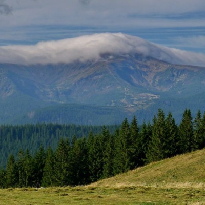 Kostrich Ridgealtitude 1 564 mThe ridge is located in the Verkhovyna district and is a well-known tourist attraction in the Carpathians.
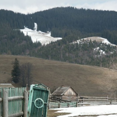 Kryvopillia Pass, Kryvopilliaaltitude 895 mKryvopillia Pass is one of the most difficult passes in the Ukrainian Carpathians. It is located within the Verkhovyna-Putyla lowlands (in its...
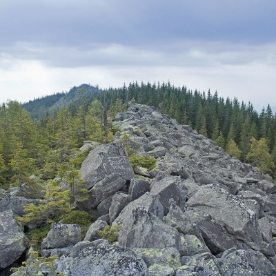 Mount Khordealtitude 1 479 mMount Khorde is a 1479-meter peak of the Ukrainian Carpathians, which is located within the Pokutsko-Bukovyna Carpathians.
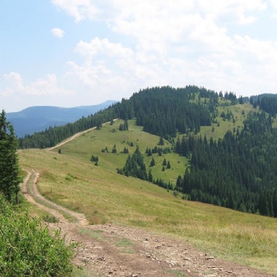 Mount Lisnivaltitude 1 257 mMount Lisniv is a 1257-meter peak of the Ukrainian Carpathians, which is located on the territory of the Pokutsko-Bukovyna mountain range.
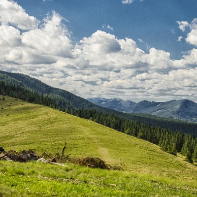 Polonyna Khomyakovaltitude 1 525 mA large sloping meadow on the northern slopes of the Sinyaka-Homiak ridge. From here, there are trails to the valley of the Zhenets stream (a long...
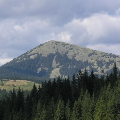 Mount Khomiakaltitude 1 542 mKhomyak is a 1542-meter-high peak of the Gorgan mountain range. Rumor has it that the mountain was named so because its shape resembles the back of...
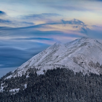 Mount Sinyakaltitude 1 665 mMount Sinyak, 1665 meters high, is one of the peaks of the Gorgan massif of the Ukrainian Carpathians, located in the Nadvirna district of Ivano...
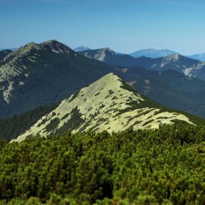 Mount Maly Gorganaltitude 1 592 mSmall Gorgan, with a height of 1592 meters, is a peak of the Ukrainian Carpathians that is quite famous among outdoor enthusiasts, located on the...
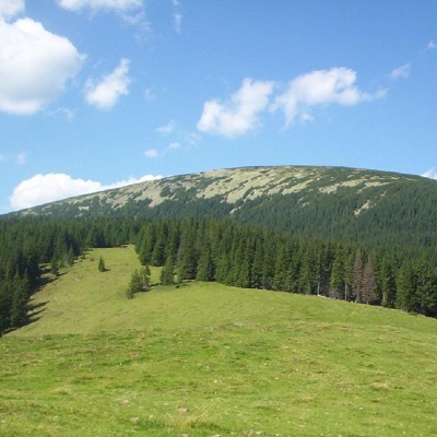 Mount Boyarin (Korotkan)altitude 1 675 mBoyarin (there is another name - Korotkan) is a massive oval-shaped mountain in the central part of the Gorgan mountain range of the Ukrainian...
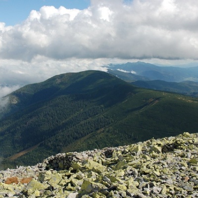 Mount Negrovaaltitude 1 604 mNegrova is a peak in the central part of the Gorgan mountain range(Ukrainian Carpathians). ...
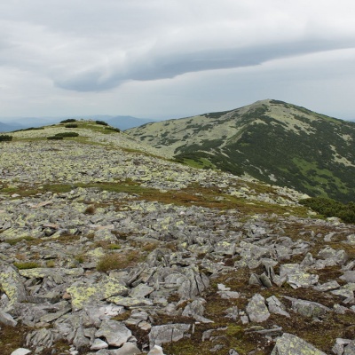 Mount Mala Sivulyaaltitude 1 815 mMount Mala Syvulya, 1815 meters high, is located next to the Velyka Syvulya on the Syvulyansky ridge.
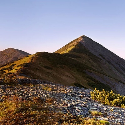 Mount Velyka Sivulyaaltitude 1 836 mMount Velyka Syvulia (or simply - Syvulia) is the highest peak of the Horhan massif. Syvulya is located on the ridge of the same name, which...
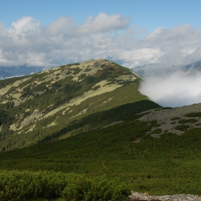 Mount Lopushnaaltitude 1 694 mMount Lopushna is a 1,694-meter peak in the Ukrainian Carpathians. It is located within the Gorgany mountain range on the border of two districts...
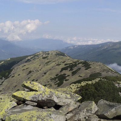 Mount Borevkaaltitude 1 596 mMount Borevka is a 1,596-meter peak of the Ukrainian Carpathians, located in the northeastern part of the Syvulianskyi ridge of the Horhanskyi...
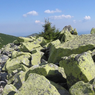 Mount Igrovetsaltitude 1 804 mMount Igrovets is located on the Igrovyshche ridge and is the third highest peak in the Horhan mountain range (after Velyka and Mala Syvul) at 1804...
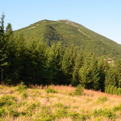 Gora Vysokaaltitude 1 803 mMount Vysoka (1803.6 m) is one of the peaks of the Ukrainian Carpathians, located in the Gorgan mountain range.
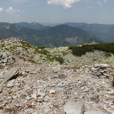 Mount Petros Gorganskyaltitude 1 702 mPetros Horhanskyi is a 1702 m high mountain (the Polish map of 1935 shows different information - 1708 m) in the central part of the Horhanskyi...
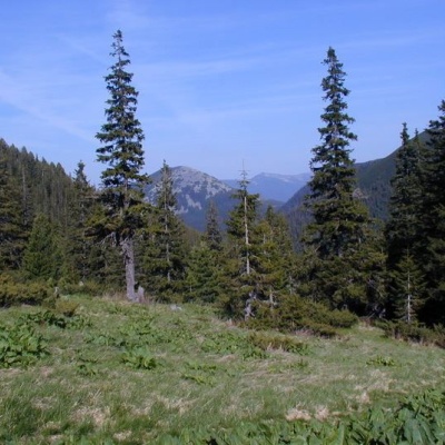 Polonyna Pliscealtitude 901 mThere are many mountain meadows in the Carpathians, but Plitse stands out from the rest. ...
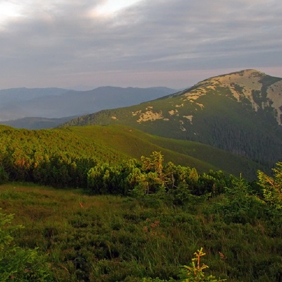 Mount Velyka Popadiaaltitude 1 740 mMount Popadia (also known as Velyka Popadia) is located in the watershed of the upper reaches of two rivers, the Teresva and the Limnytsia, on the...
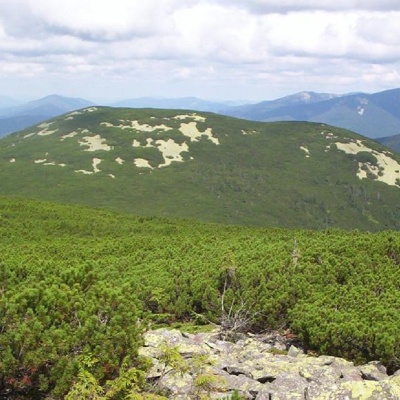 Mount Mala Popadiaaltitude 1 597 mMount Mala Popadia is the peak of the Ukrainian Carpathians, located in the Gorgan mountain range.
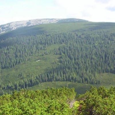 Mount Koretvinaaltitude 1 671 mMount Koretvina (also known as Korytvina) is a peak of the Ukrainian Carpathians, part of the western part of the Gorgan mountain range.
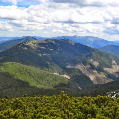 Parenki Mountainaltitude 1 735 mMount Parenky is a popular peak in the Ukrainian Carpathians. It is located in the Gorgan mountain range on the Parenky ridge of the same name in...
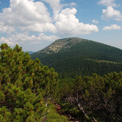 Mount Grofaaltitude 1 748 mMount Hrofa (height - 1748 m) is a well-known peak among lovers of the Ukrainian Carpathians, located in the Gorgan Mountains within the landscape...
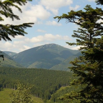 Grofa landscape reservealtitude 901 mIf there is a river on the reserve's territory that is considered one of the cleanest in Europe, it says a lot about the area.
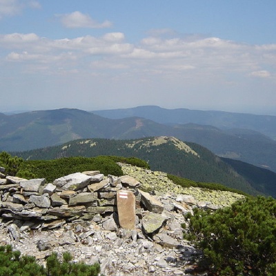 Mount Kin Grofetskyaltitude 1 552 mMount Kin Grofetskyi is a 1,552-meter peak of the Ukrainian Carpathians. It is located in the western part of the Gorgan mountain range in the...
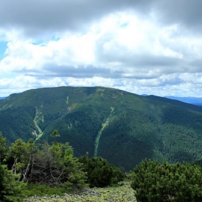 Mount Molodaaltitude 1 723 mMount Moloda is the peak of the Ukrainian Carpathians, which lies within the Horhan mountain range in the Ivano-Frankivsk region (the main area of...
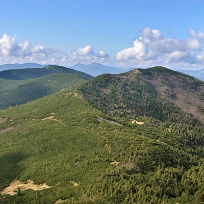 Mount Yayko-Pereginskealtitude 1 595 mYayko-Perehinske (the mountain got its name because of its characteristic shape, which resembles an egg from a distance) is a mountain peak in the...
Trails nearby
All trails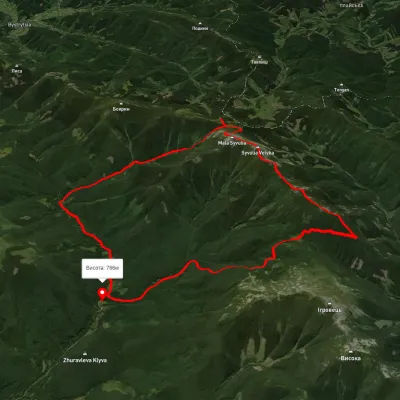 HardMulti-dayUnmarkedStara Huta village loopvia Mount Borevka, Mount Lopushna +2Elevation profile768–1 798 m27.4 kmascent 1 402 m≈ 9.5 h walking
 ModerateOne-dayUnmarkedZhenets tract loopvia Mount KhomiakElevation profile652–1 541 m14.1 kmascent 893 m≈ 5.5 h walking
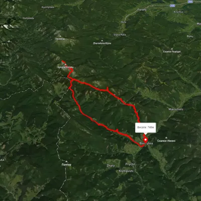 HardMulti-dayUnmarkedBystrytsia village loopvia Peklo tract, Mount Mala Syvulia +2Elevation profile742–1 828 m42.6 kmascent 1 815 m