Mount Pidpula
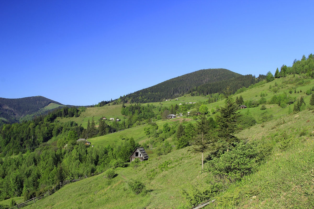
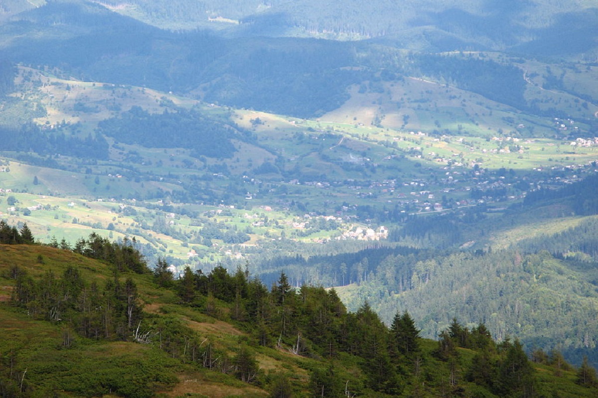
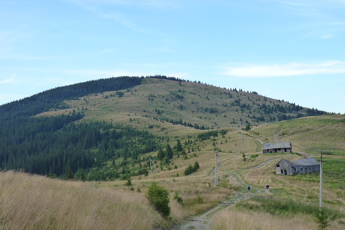
Pidpula is a peak in the Ukrainian Carpathians, which is located in the northwestern part of the Svydovets mountain range - on the Shasa ridge. The mountain is located in Tyachiv district of Zakarpattia region.
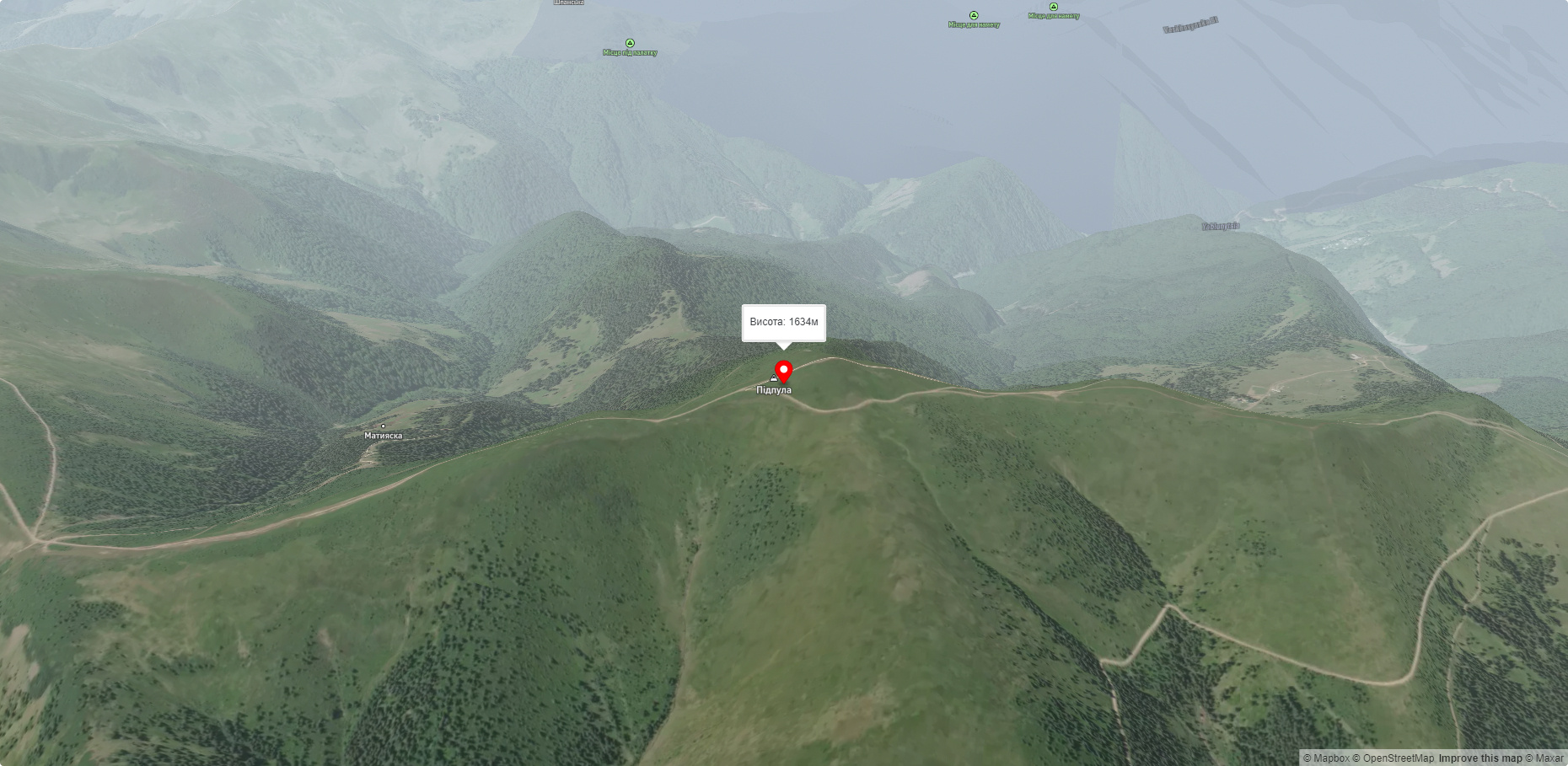
The height is 1634 m (according to other information - 1629 m).
Pidpula's slopes are gentle in the north, northeast and southeast, and steep in the west, south and east; up to 1300-1400 meters above sea level, they are covered with centuries-old forests, above this mark - with meadows with blueberry thickets.
To the east of Mount Pidpula is Mount Tataruka, to the southeast is Mount Ungaryaska, to the south is Mount Mala Kurtiaska, to the west is Mount Pid Stogami, and to the northwest is Mount Berlyaska.
The nearest settlements are the town of Ust-Chorna and the village of Krasna in Tyachiv district and the village of Chorna Tysa in Rakhiv district of Zakarpattia region.
Accommodation around Mount Pidpula:


Nearby hiking trails near Mount Pidpula:
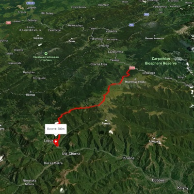
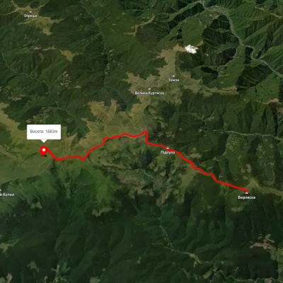
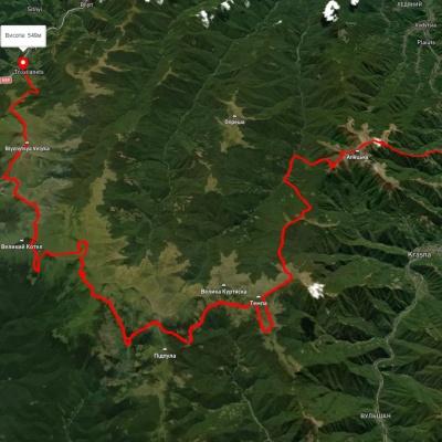
Which trails pass by Mount Pidpula?
We suggest these hiking trails through or near Mount Pidpula: Yasinia, via Mount Stih, Mount Troiaska and Mount Pidpula to Lopukhiv village, Mount Berliaska, via Mount Unhariaska and Mount Troiaska to Lake Dohiaska, Dubove village, via Mount Apetska, Mount Dohiaska, Mount Stih and Mount Blyznytsia to Kvasy village, Dragobrat, via Mount Stih, Mount Velykyi Kotel, Mount Unhariaska and Mount Tempa to Krasna village, Synevyr village, via Mount Nehrovets, Mereshor village, Krasna ridge, Ust-Chorna village and Svydovets ridge to Kvasy village, Krasna village, via Mount Tempa, Mount Troiaska and Mount Blyznytsia to Rakhiv