Condition
Not verifiedNo recent reports. Carry water and, if you pass by, tell us what you saw.
- 1 553 m
About
Svydovets range, about 1 550 m above sea level. Mount Mala Kurtiaska (1 644 m) is about 310 m away. The nearest settlement is Ust-Chorna, about 12 km in a straight line. 8 of the site’s trails pass nearby, including “Transcarpathian Tourist Trail”.
On the map
Coordinates: 48.28073, 24.08839
How to get there
Trails nearby
 HardMulti-dayMarkedTranscarpathian Tourist TrailElevation profile198–2 031 m393.2 kmascent 30 283 m
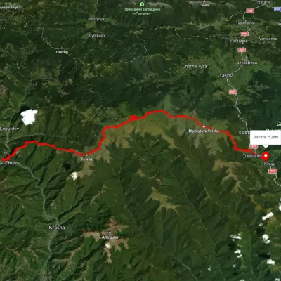 HardMulti-dayUnmarkedUst-Chorna village to Kvasy villagevia Mount Tempa, Mount Mala Kurtiaska +2Elevation profile511–1 876 m51.2 kmascent 2 670 m
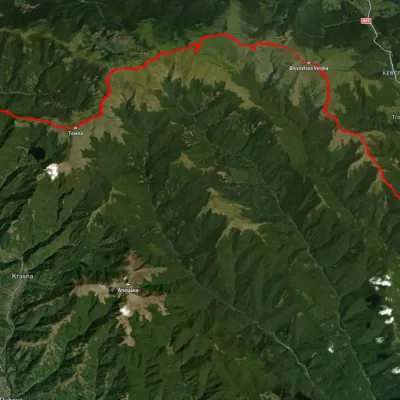 HardMulti-dayUnmarkedRakhiv to Ust-Chorna villagevia Mount Blyznytsia, Mount Unhariaska +1Elevation profile519–1 848 m63 kmascent 2 659 m
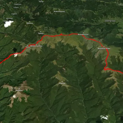 HardMulti-dayUnmarkedKrasna village to Kvasy villagevia Mount Tempa, Mount Unhariaska +2Elevation profile421–1 868 m51.3 kmascent 2 329 m
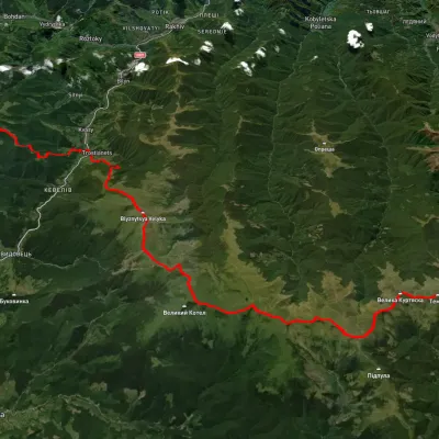 HardMulti-dayUnmarkedYasinia to Krasna villagevia Mount Petros, Mount Sheshul +3Elevation profile432–1 992 m74.7 kmascent 3 433 m
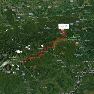 HardMulti-dayUnmarkedKolochava village to Yasiniavia Krasna ridge, Ust-Chorna village +1Elevation profile527–1 756 m81.4 kmascent 3 395 m
Nearest settlement: Ust-Chorna, about 12 km in a straight line.
Report the condition
Been here recently? Tell us what you saw and add photos — your report appears on the page right away with today’s date.
No photos yet — send yours together with a condition report.
