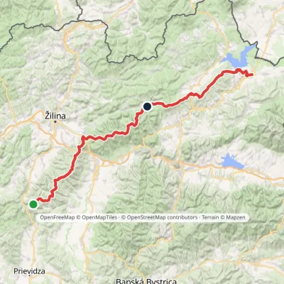
Námestovo (circular)
Trail map
Route, springs and shelters: © OpenStreetMap contributors (ODbL) · elevation: Copernicus DEM © DLR e.V., © Airbus DS · Data & licences
About the trail
Route Námestovo (circular). Has yellow marking (regional route №8689, KST). Waymarking data: OpenStreetMap (© OpenStreetMap contributors, ODbL).
Officially marked regional tourist route No. 8689. The marking is yellow, the sign is a horizontal stripe on a white background. Marked and maintained by: KST. The length of the route is 17.3 km, the route is circular. Location: mountain range - Malá Fatra, Slovakia.
At a glance
A one-day loop route of 17.3 km with 333 m of ascent. Estimated walking time: about 5 h, not counting stops. Difficulty: moderate. Waymarking: yellow.
How we estimate walking time
By Naismith's rule, used by mountain clubs and guidebooks: an average hiker walks 4 km an hour on the flat and needs one more hour for every 600 m of ascent. For this trail: 17.3 km ÷ 4 = 4.3 h + 333 m ÷ 600 = 0.6 h, about 5 h of walking in total.
- Breaks, snacks and photos: add 20–30 %.
- A heavy pack, children, snow, a wet path or windfall add more; a long steep descent also takes time, especially for the knees.
- The height of the Carpathians (up to 2,655 m) hardly changes the pace — on the ridges wind, fog and weather slow you down.
- Limits: up to 9 h is one day; 9–13 h is a very long day or two; over 13 h means several days with overnight stays.
Route stages
- 0–6 kmGentle ups and downs at 600–650 m
- 6–7 kmClimb of 140 m (up to 788 m)
- 7–11 kmGentle ups and downs at 780–920 m
- 11–12 kmDescent of 120 m (down to 793 m)
- 12–17 kmGentle ups and downs at 630–800 m
Steepest kilometre: km 6–7, a climb of 110 m (≈11%).
Water and overnight stays
A spring near the trail: at km 1. There are no springs between km 1 and 17 — carry at least 2.5 l of water.
When to go
The route can be walked most of the year; it is most comfortable from April to October.
Getting there
This is a loop: it brings you back to the start.
FAQ
- How long does the route take?
- Estimated walking time: about 5 h, not counting stops.
- Is there water on the route?
- A spring near the trail: at km 1. There are no springs between km 1 and 17 — carry at least 2.5 l of water.
Water and shelter on the route
- Drinking water below Klineckm 0.6 from the start · Not verified · 612 m
Comments and trail condition
Travellers’ experience: reports, tips, questions.
No one has reported on this trail yet. Been here lately? Tell others what it is like now.
Wildlife along the route
All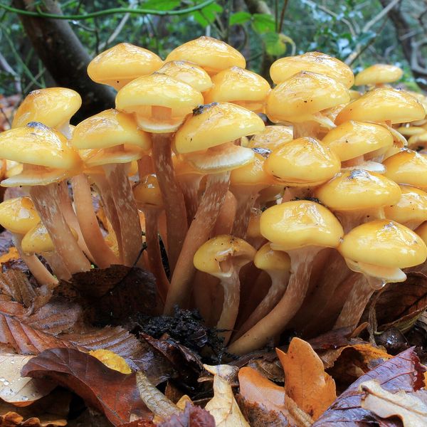
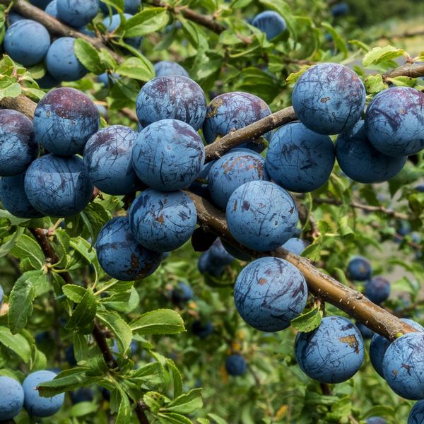
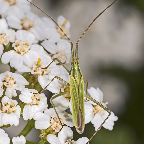
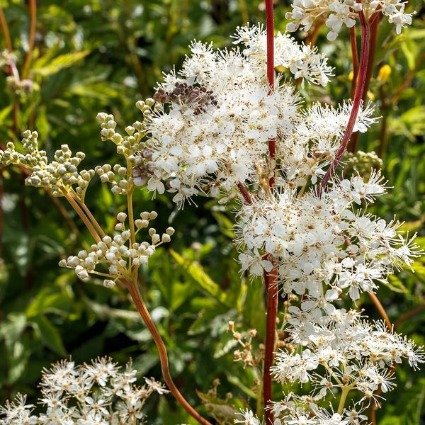
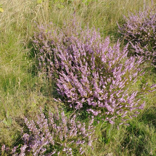
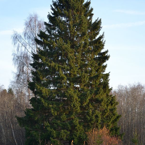
- Brown bears live in this area — how to behave
- Adders live here — what to do after a bite
- Mushroom season — but never identify a mushroom from a photo alone
Based on naturalists’ records nearby (GBIF, iNaturalist), matched by altitude, habitat and season. Sightings are not guaranteed.
Trails nearby
All trails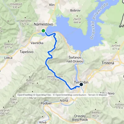
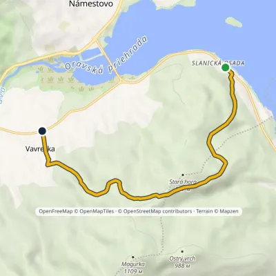
Craft nearby
All craft places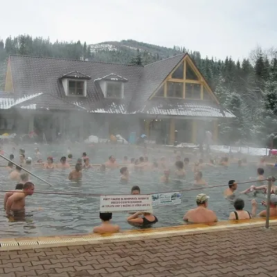 Water parks & thermal poolsOravice thermal poolsVitanová23 km from the trailThe Oravice thermal pools (Termálne kúpalisko Oravice) are the municipal thermal baths in the mountain settlement of Oravice at the foot of the Western Tatras.
 Water parks & thermal poolsMeander Thermal Resort, OraviceVitanová23 km from the trailMeander Thermal & Ski Resort (formerly Meander Park) is a thermal water park and ski centre in the mountain settlement of Oravice in northern Slovakia, at the foot of...
 Water parks & thermal poolsChochołowskie TermyChochołów26 km from the trailChochołowskie Termy stand in the village of Chochołów in the Podhale region, north-west of Zakopane and not far from the Slovak border.
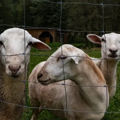 Eco farmsOrawskie Ranczo Educational Farm, Harkabuz: animals and craft workshopsHarkabuz30 km from the trailOrawskie Ranczo is a small family educational farm (zagroda edukacyjna) in the village of Harkabuz near Raba Wyżna, where Orawa meets Podhale.
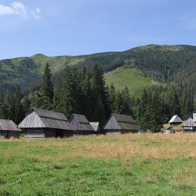 Cheese dairies & pasturesShepherds' Huts on Polana ChochołowskaKościelisko30 km from the trailPolana Chochołowska is the largest glade in the Polish Tatras and one of the largest in the whole range.
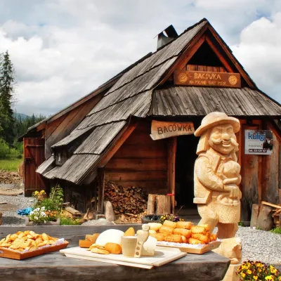 Cheese dairies & pasturesBiały Potok Shepherd's Hut, Witów: oscypek and cheese workshopsKościelisko31 km from the trailBiały Potok meadow in the village of Witów lies between the entrances to two of the most visited Tatra valleys, Chochołowska and Kościeliska.
