Mała Babia Góra
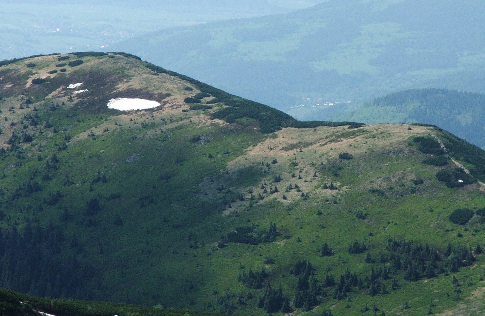
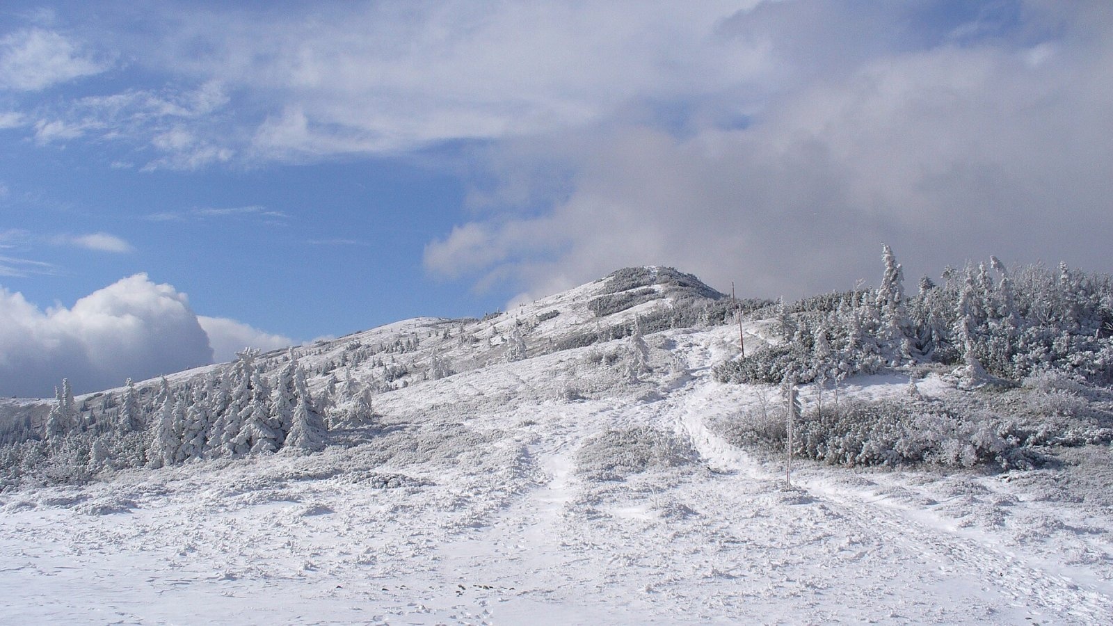
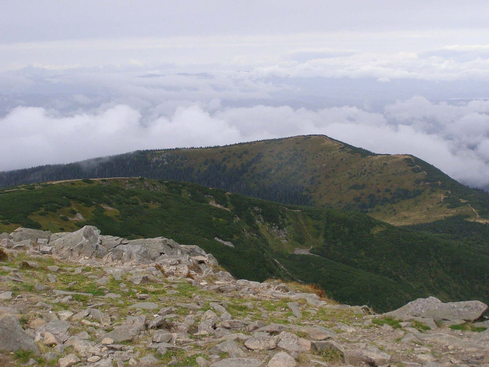
Mała Babia Góra, also called Cyl (Slovak: Malá Babia hora), is a summit of about 1,517 m in the Babia Góra massif on the Polish–Slovak border. It is the third-highest summit of all the Polish Beskids after Diablak and Pilsko, and the third-highest in the Orava Beskids. The Polish slopes belong to the village of Zawoja (Zawoja commune, Sucha County) and lie in the Babia Góra National Park; the Slovak slopes belong to Oravská Polhora in Námestovo District and the Horná Orava Protected Landscape Area. The nearest Zawoja hamlets, Markowa and Marki, lie about 3 km to the north, and the Markowe Szczawiny PTTK hut is roughly 1.4 km away.
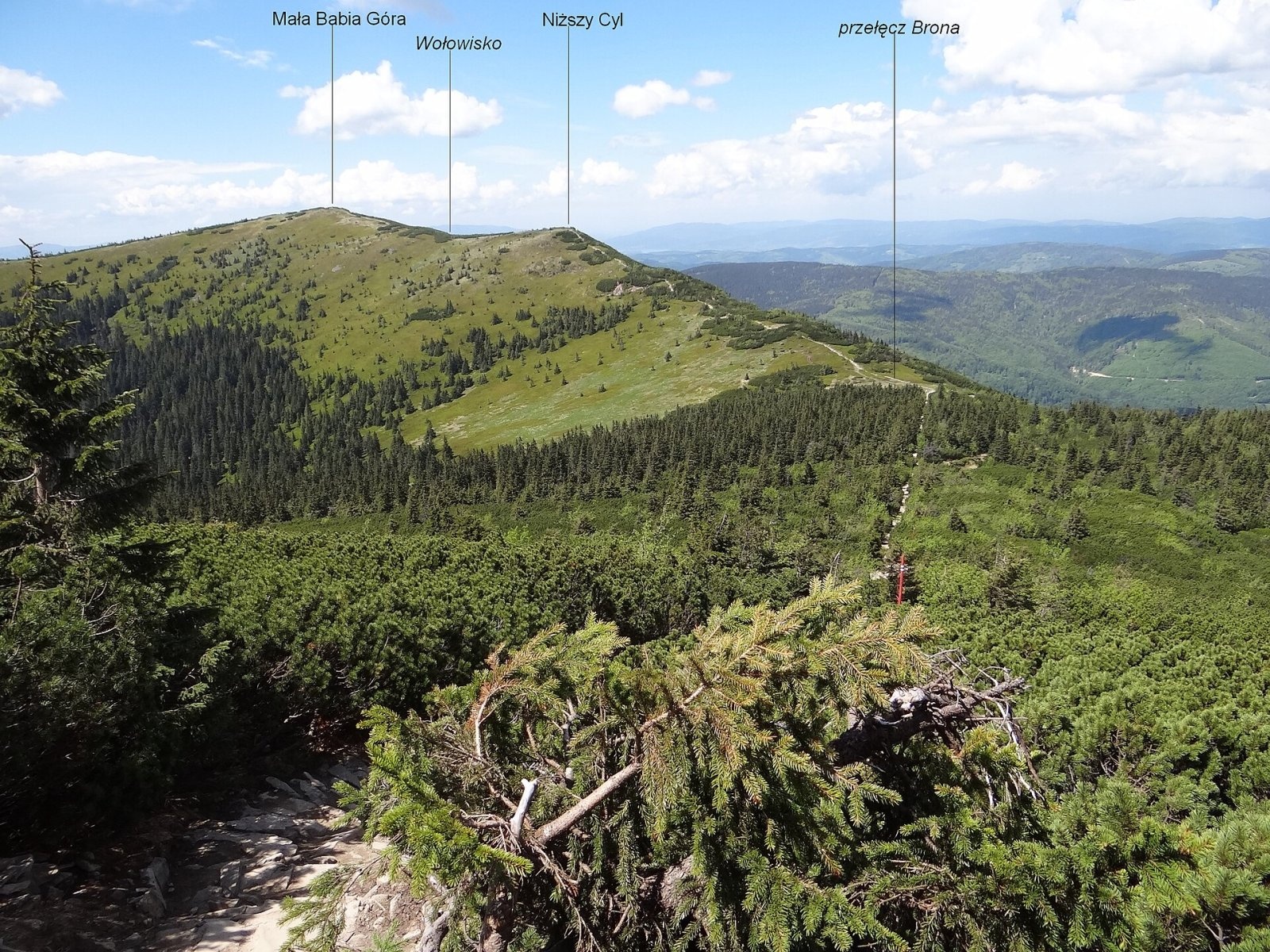
Cyl stands on the north-western ridge of the massif: to the east the Brona Pass (1,408 m) separates it from Diablak, and to the west the ridge falls to the South Jałowiec Pass (993 m). The shallow Wołowisko saddle divides the main top from the lower Niższy Cyl (about 1,490 m). The ridge carries the state border and the European watershed: water from the northern slopes flows via tributaries of the Skawica to the Vistula and the Baltic, while the southern slopes drain via the Polhoranka into the Orava, Váh and Danube, and so to the Black Sea. On the Slovak side a long wooded ridge runs from the summit over Borsučie, Zadná Vysoká and Vysoká down to the Polhoranka valley. The northern, Polish slopes are torn by the huge Zerwa Cylowa landslide.
How to get there / trails
- From Poland — along the main ridge from the North Jałowiec Pass via the Żywieckie Rozstaje junction to Cyl and on over the Brona Pass to Diablak. From the Brona Pass to the summit takes about 25 min (15 min down), from Diablak 1 h 10 min (1 h 15 min back), from Tabakowe Siodło 1 h 10 min (50 min down). The Brona Pass is an easy climb from the Markowe Szczawiny hut.
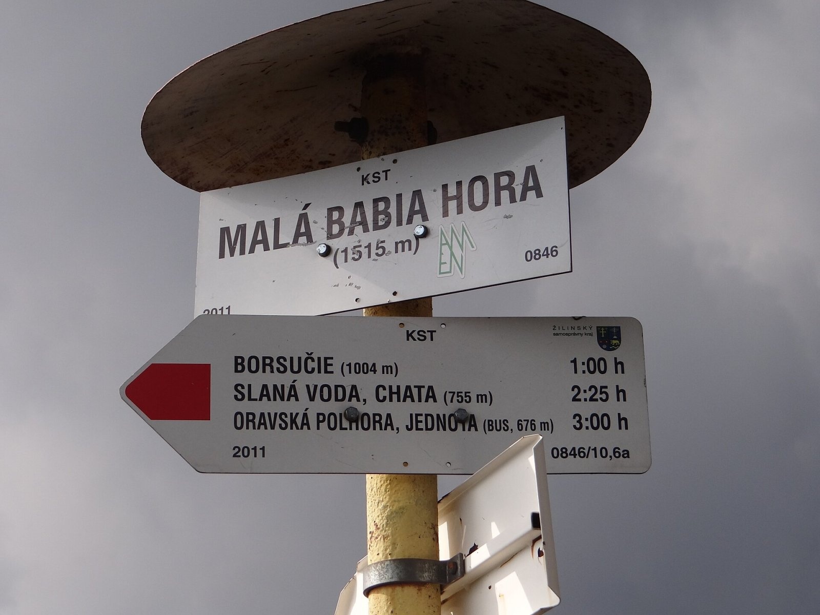
- Red trail from Slovakia — from Oravská Polhora: about 3 h from the Slaná voda chalet (2 h 45 min down), 3 h 30 min from Oravská Polhora itself (3 h 15 min down). Slovak sources mark the ridge path to Brána and Babia hora as blue.
The Polish green PTTK route Sidzina – Jabłonka and the Slovak long-distance Via Slovakia also cross the summit. Although Cyl stands in the shadow of neighbouring Diablak, it is a frequent hikers' goal, because the main path to Babia Góra from the Slovak side leads over it.
The view from the top
The summit is grassy, so the panorama is very wide — similar to that from Diablak. It covers about three quarters of the horizon; only to the south-east is it blocked by the bulk of Babia Góra. In good weather you can see the Orava, Silesian and Żywiec Beskids, the Malá and Veľká Fatra, the Oravská Magura, the Choč and Skoruša hills, and the Low and Western Tatras.
Nature and history
Like the rest of the massif, Mała Babia Góra is built of flysch — alternating sandstones and claystones of the Outer Western Carpathians. The top and the upper Slovak slopes are grassy. The whole Babia Góra ridge was once grazed, and a pasture called Czarna Hala lay on the north-eastern slopes. After the national park was created, grazing ended and the meadows are gradually being overgrown by dwarf pine and forest.
The name Cyl has several explanations. Linguist Aleksy Siemionow considered it possessive, derived from a surname. Naturalist Władysław Midowicz recorded a folk explanation from Zawoja: at noon in winter the summit seems to "aim" (cylować in the local dialect) straight at the sun.
Safety, season and rules
The summit lies above the tree line and is exposed to wind, fog and thunderstorms; the weather on Babia Góra changes quickly, and in winter the ridge can be icy. In the Babia Góra National Park you may walk only on marked trails, there is an entrance fee, and some trails close seasonally — check the current rules on the BgPN website before you set out.
Rescue on the Polish side is GOPR: 985 or +48 601 100 300; on the Slovak side the Mountain Rescue Service HZS: 18 300 (+421 18 300); 112 works everywhere.
Photos: Jerzy Opioła, CC BY-SA 4.0; Pudelek, CC BY-SA 3.0; Jerzy Opioła, CC BY-SA 3.0; Andrzej Otrębski, CC BY-SA 3.0; Jerzy Opioła, CC BY-SA 4.0; Rafał Kozubek, CC BY-SA 4.0 — Wikimedia Commons.
Getting there from Ukraine
Border crossings
- Krakovets – Korczowa — road, 24/7
- Shehyni – Medyka — road, 24/7 Pedestrian crossing is not confirmed by the Ukrainian border service — check dpsu.gov.ua before the trip.
- Smilnytsia – Krościenko — road, 24/7
- Hrushiv – Budomierz — road, 24/7
- Mostyska – Przemyśl (rail) — rail, 24/7
By car
Lviv – Żywiec ≈412 km, ≈5 h 30 min without queues or tolls: M-10 → Krakovets – Korczowa → A4 to Kraków (≈249 km) → DK52 via Wadowice → DW781 and DW946 to Żywiec. ≈333 km, ≈4 h from the border. Alternative via the tolled A4 Kraków – Katowice and the S1 via Tychy and Bielsko-Biała: ≈457 km, ≈5 h 25 min.
Checked 23.10.2026; border crossing hours and timetables change — check before you travel.
Location on the map
Water and shelter nearby
- Spring below Mała Babia Góra (east slope), 1 386 m810 m · Not verified · 1 386 m
- Spring below Mała Babia Góra (east slope), 1 353 m870 m · Not verified · 1 353 m
- Drinking water below Mała Babia Góra890 m · Not verified · 1 196 m
- Markowe Szczawiny Hut1.4 km · Standing · 1 180 m
- Spring below Borsučie1.5 km · Not verified · 1 169 m
- Spring below Babia Góra (north-west slope), 1 343 m1.6 km · Not verified · 1 343 m
- Spring below Babia Góra (north-west slope), 1 314 m1.6 km · Not verified · 1 314 m
- Spring below Babia Góra (north-west slope), 1 279 m1.7 km · Not verified · 1 279 m
- Spring below Babia Góra (south-west slope)1.9 km · Not verified · 1 542 m
- Spring below Bukovský grúň2 km · Not verified · 1 289 m
- Spring under Babia Góra2.5 km · Not verified · 1 001 m
- Głodna Woda Spring2.6 km · Not verified · 1 638 m
Comments
Trails nearby
All trails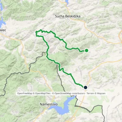 HardMulti-dayMarkedSidzina JabłonkaElevation profile507–1 723 m74.1 kmascent 3 189 munder 1 km from Mała Babia Góra
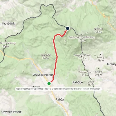 ModerateOne-dayMarkedOravská Polhora, Jednota Malá Babia HoraElevation profile676–1 517 m10.7 kmascent 858 m≈ 4.5 h walkingunder 1 km from Mała Babia Góra
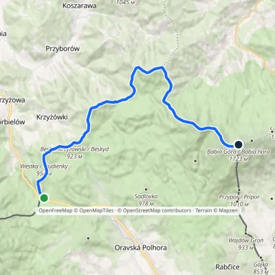 HardTwo-dayMarkedGajdošský chodníčekElevation profile802–1 723 m21.7 kmascent 1 672 m≈ 9 h walkingunder 1 km from Mała Babia Góra
Nearby attractions
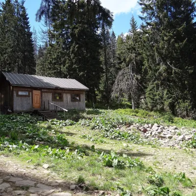 Mountain meadowMarkowe SzczawinyZawojaaltitude 1 180 m1.4 km from Mała Babia GóraMarkowe Szczawiny is a small meadow on the northern slopes of Babia Góra at about 1,180 m, in the commune of Zawoja in Sucha County, within Babia Góra National Park ...
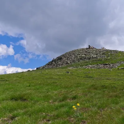 PeakBabia GóraZawojaaltitude 1 723 m2.3 km from Mała Babia GóraBabia Góra (Slovak Babia hora) is a massif on the Polish–Slovak border in the Western Beskids, and also the usual name of its highest summit, Diablak ("Devil's Peak"),...
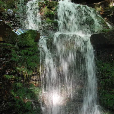 WaterfallWaterfall on the Mosorny PotokZawoja7.3 km from Mała Babia GóraThe waterfall on the Mosorny Potok (Wodospad na Mosornym Potoku), also called Mosorczyk, is one of the highest natural waterfalls of the Polish Beskids.
Craft nearby
All craft places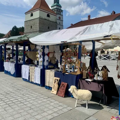 Markets & fairsFolk Art Fair in Żywiec during the Beskidy Week of CultureŻywiec24 km from Mała Babia GóraThe Beskidy Highlanders' Week of Culture (Tydzień Kultury Beskidzkiej, TKB) is Poland's largest folklore festival: it was first held in Wisła in 1964, and today, at...
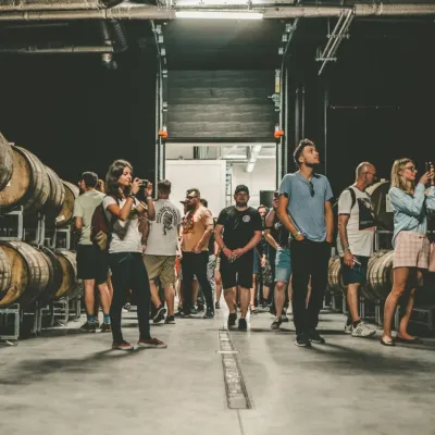 Craft beer & breweriesPINTA Brewery, Wieprz near Żywiec: tours and taproomWieprz25 km from Mała Babia GóraPINTA is the brewery that Poles associate with the start of the “beer revolution”; it calls itself the country's first craft brewery.
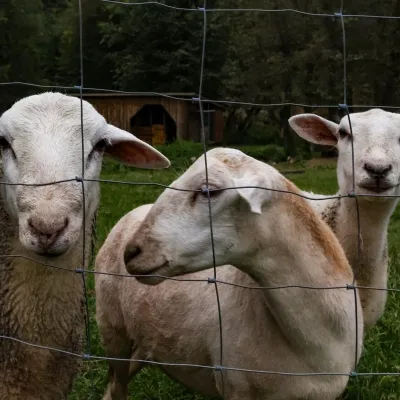 Eco farmsOrawskie Ranczo Educational Farm, Harkabuz: animals and craft workshopsHarkabuz25 km from Mała Babia GóraOrawskie Ranczo is a small family educational farm (zagroda edukacyjna) in the village of Harkabuz near Raba Wyżna, where Orawa meets Podhale.
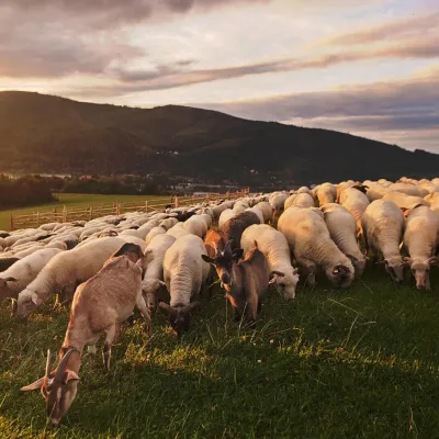 Cheese dairies & pasturesBacówka na Bukowinie, Żabnica: sheep's cheese and alpacasWęgierska Górka27 km from Mała Babia GóraBacówka na Bukowinie stands on a slope above the village of Żabnica, next to Węgierska Górka, where the Żywiec Beskids meet the Silesian Beskids.
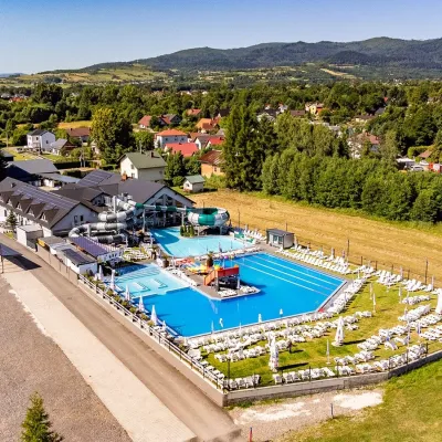 Water parks & thermal poolsAquapark Leśna (Żywiec)Leśna28 km from Mała Babia GóraAquapark Leśna (also called Aquapark Żywiec) is a swimming-pool complex in the village of Leśna, a few kilometres from Żywiec, in the Żywiec Basin, surrounded by the...
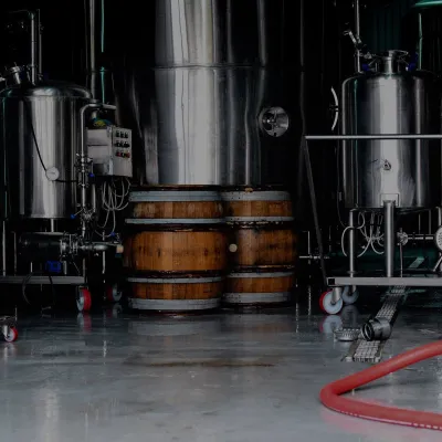 Craft beer & breweriesBrowar Zarzecze in the Żywiec Basin: craft brewery shopZarzecze28 km from Mała Babia GóraBrowar Zarzecze works in the village of Zarzecze near Pietrzykowice in the Żywiec Basin — a region where beer has been brewed since at least the 19th century and home...
