Oravská Polhora, Jednota – Malá Babia Hora
Trail map
Route, springs and shelters: © OpenStreetMap contributors (ODbL) · elevation: Copernicus DEM © DLR e.V., © Airbus DS · Data & licences
About the trail
Route Oravská Polhora, Jednota – Malá Babia Hora. Has red marking (national route №0846, KST). Waymarking data: OpenStreetMap (© OpenStreetMap contributors, ODbL).
Officially marked national tourist route No. 0846. Marking is red, sign — horizontal stripe on a white background. Marked and maintained by: KST. Length of the route — 10.7 km. Location: mountain range — Żywiec Beskids, Slovakia.
At a glance
A one-day route of 10.7 km with 858 m of ascent from Oravská Polhora, Jednota to Malá Babia Hora. Estimated walking time: about 4 h, not counting stops. Difficulty: moderate. Waymarking: red.
Route stages
- 0–7 kmGentle ups and downs at 680–880 m
- 7–11 kmClimb of 630 m to Mała Babia Góra (1,517 m)
Steepest kilometre: km 8–9, a climb of 210 m (≈21%).
Water and overnight stays
Springs near the trail: at km 2 and 8. Some springs run low or dry up in late summer.
Huts and shelters near the trail: Chata Slaná voda (km 3).
When to go
Best time: May to October. In winter deep snow is possible, so experience and winter gear are needed.
Getting there
Start: Oravská Polhora, Jednota. This is a one-way route: the finish is 9 km from the start in a straight line, so plan your way back in advance.
FAQ
- How long does the route take?
- Estimated walking time: about 4 h, not counting stops.
- Is there water on the route?
- Springs near the trail: at km 2 and 8. Some springs run low or dry up in late summer.
- Where can I stay overnight?
- Huts and shelters near the trail: Chata Slaná voda (km 3).
Water and shelter on the route
- Mineral Spring Slaná vodakm 2.3 from the start · 70 m off the path · Not verified · 741 m
- Chata Slaná vodakm 2.5 from the start · Standing · 759 m
- Spring below Turňakm 2.9 from the start · Not verified · 755 m
- Spring below Borsučiekm 8.5 from the start · 40 m off the path · Not verified · 1 169 m
Comments
Trails nearby
All trails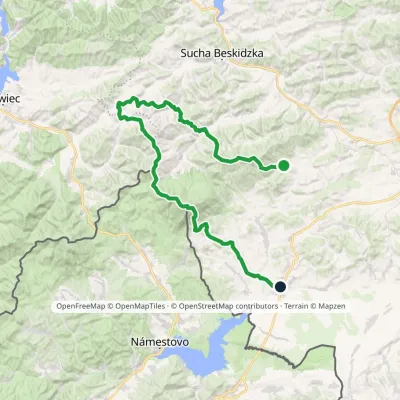
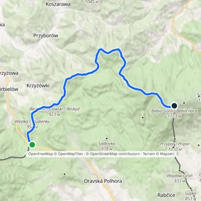
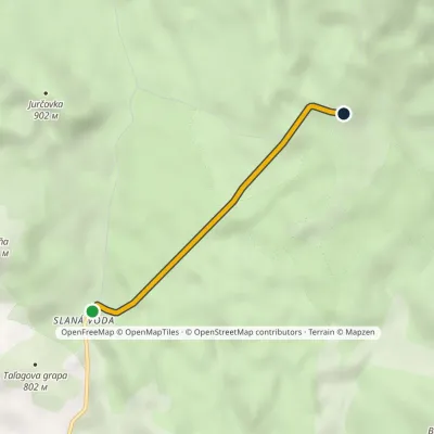
Craft nearby
All craft places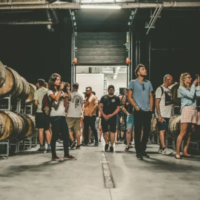 Craft beer & breweriesPINTA Brewery, Wieprz near Żywiec: tours and taproom26 km from the trailPINTA is the brewery that Poles associate with the start of the “beer revolution”; it calls itself the country's first craft brewery.
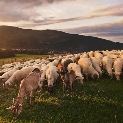 Cheese dairies & pasturesBacówka na Bukowinie, Żabnica: sheep's cheese and alpacas26 km from the trailBacówka na Bukowinie stands on a slope above the village of Żabnica, next to Węgierska Górka, where the Żywiec Beskids meet the Silesian Beskids.
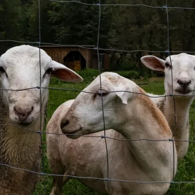 Eco farmsOrawskie Ranczo Educational Farm, Harkabuz: animals and craft workshops27 km from the trailOrawskie Ranczo is a small family educational farm (zagroda edukacyjna) in the village of Harkabuz near Raba Wyżna, where Orawa meets Podhale.
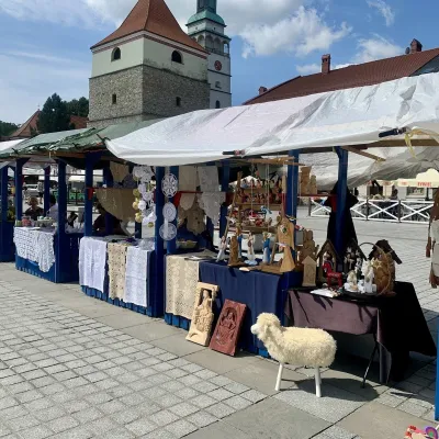 Markets & fairsFolk Art Fair in Żywiec during the Beskidy Week of Culture27 km from the trailThe Beskidy Highlanders' Week of Culture (Tydzień Kultury Beskidzkiej, TKB) is Poland's largest folklore festival: it was first held in Wisła in 1964, and today, at...
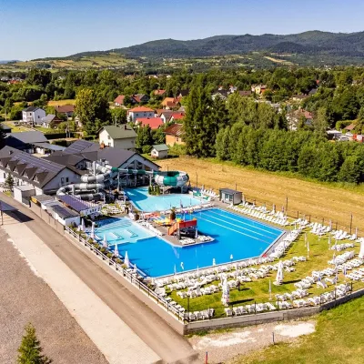 Water parks & thermal poolsAquapark Leśna (Żywiec)29 km from the trailAquapark Leśna (also called Aquapark Żywiec) is a swimming-pool complex in the village of Leśna, a few kilometres from Żywiec, in the Żywiec Basin, surrounded by the...
 Water parks & thermal poolsOravice thermal pools31 km from the trailThe Oravice thermal pools (Termálne kúpalisko Oravice) are the municipal thermal baths in the mountain settlement of Oravice at the foot of the Western Tatras.
