Námestovo
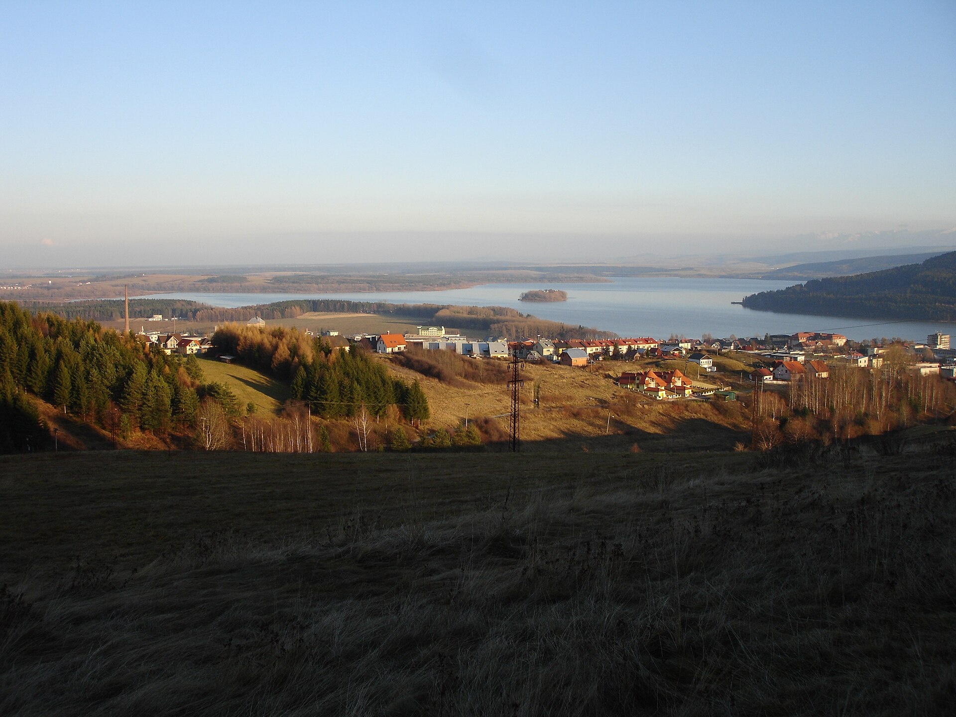
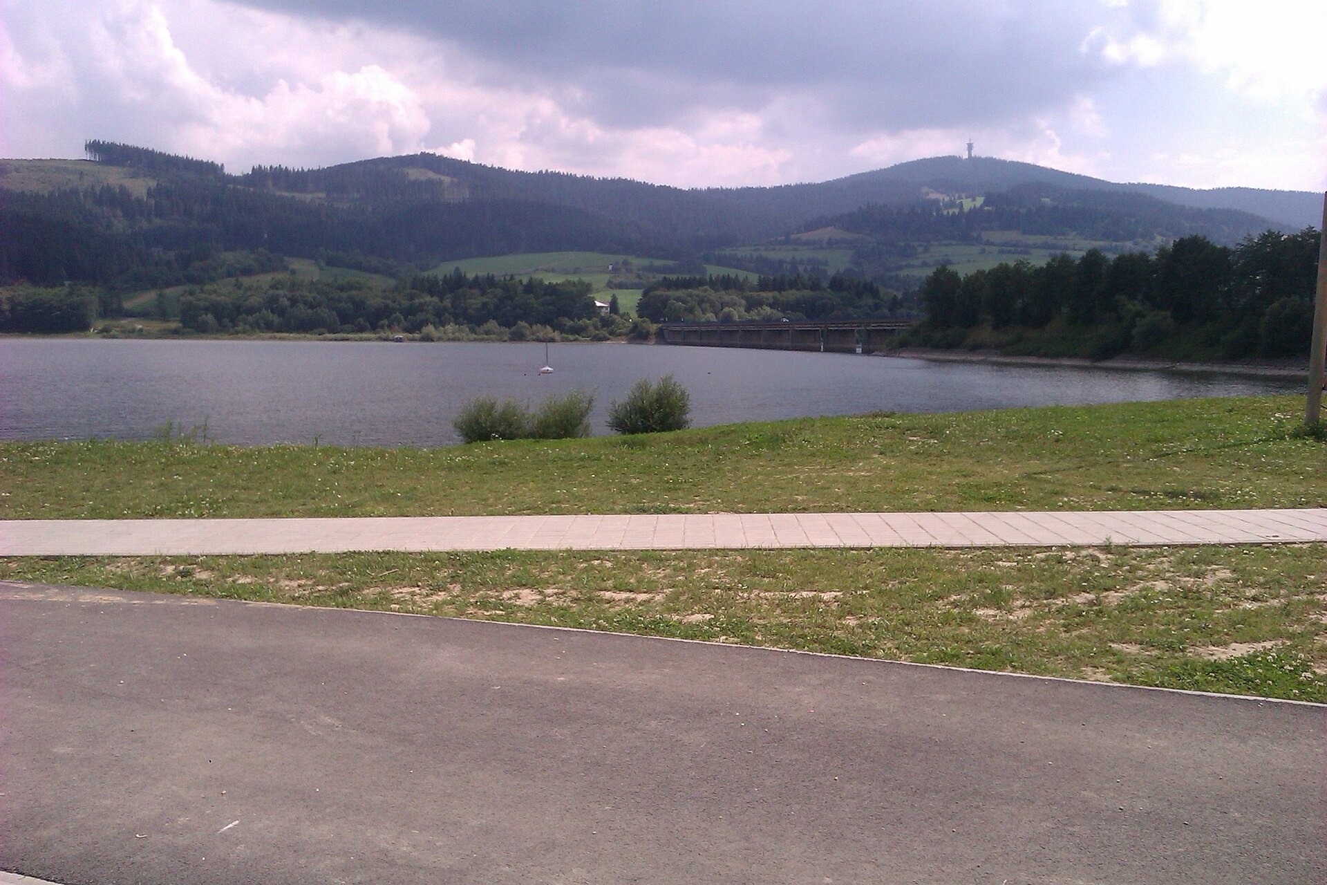
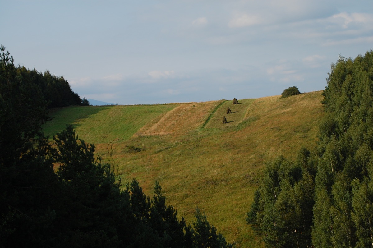
Photos: Wikimedia Commons, CC BY-SA 3.0 (Wikimedia Commons); Branik P, CC BY-SA 3.0 (Wikimedia Commons); Andrej Krivulčík, CC BY 3.0 (Wikimedia Commons)
Námestovo is a town in Slovakia.
Elevation: about 620 m above sea level. Population: 7,300 (2025). Mountains nearby: Western Carpathians.
Here and nearby on the site: 2 trails, 1 sight.
Facts: Wikidata, OpenStreetMap. More on Wikipedia
Trails nearby
All trails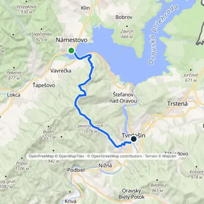 ModerateOne-dayMarkedTvrdošín, center NámestovoElevation profile566–1 109 m16.1 kmascent 641 m≈ 5.5 h walkingunder 1 km from the centre
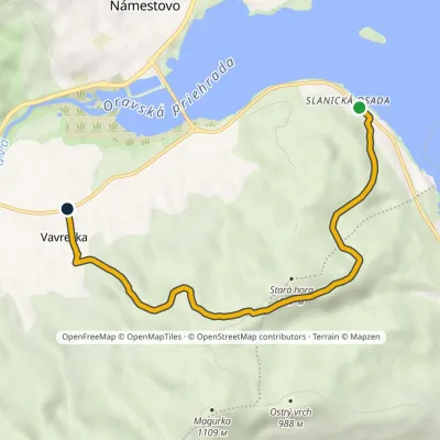 EasyOne-dayMarkedPrehaliny Slanická osadaElevation profile612–911 m6.9 kmascent 300 m≈ 2.5 h walking2.4 km from the centre
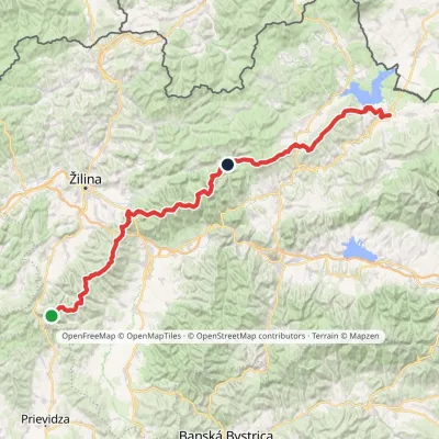 HardMulti-dayMarkedKľak TrstenáElevation profile354–1 671 m119.6 kmascent 7 571 m4.6 km from the centre
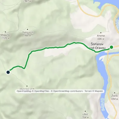 EasyOne-dayMarkedPod Magurkou ŠtefanovElevation profile578–985 m5.1 kmascent 405 m≈ 2 h walking5.7 km from the centre
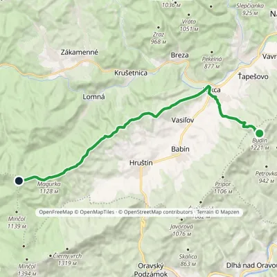 ModerateTwo-dayMarkedBudín PríslopecElevation profile623–1 258 m20.4 kmascent 708 m≈ 6.5 h walking6.8 km from the centre
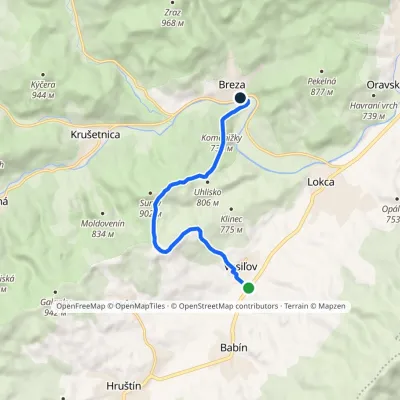 EasyOne-dayMarkedBreza VasiľovElevation profile639–885 m7.9 kmascent 255 m≈ 2.5 h walking7.3 km from the centre
Peaks nearby
All peaks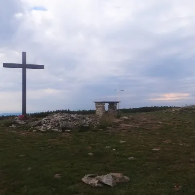 PeakPilskoOravské Veseléaltitude 1 557 m18 km from the centrePilsko is a massive 1,557 m mountain on the Slovak–Polish border, the second-highest in the Orava Beskids (in Polish, the Żywiec Beskids) after Babia hora.
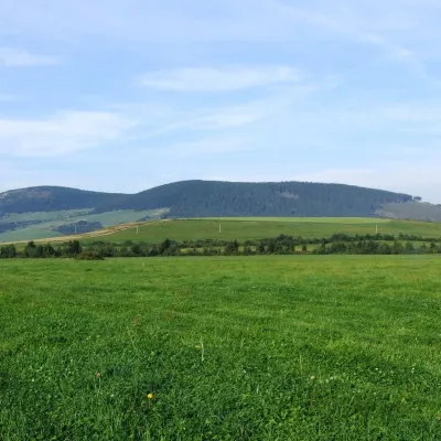 PeakMníchZuberecaltitude 1 110 m18 km from the centreMních is a summit 1110 m high in the Skorušina Mountains (Skorušinské vrchy) in Orava, Slovakia, in their Kopec subunit.
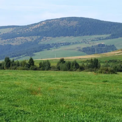 PeakMachyOravský Biely Potokaltitude 1 202 m19 km from the centreMachy is a 1202 m summit in the Skorušina Mountains in Orava, northern Slovakia. It rises above the village of Zuberec, about 8 km south of Tvrdošín, in the central...
What to visit
All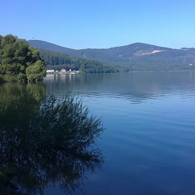 LakeOrava Reservoir and Slanica IslandNámestovo5.1 km from the centreOrava Reservoir (Oravská priehrada), jokingly called the “Orava Sea” by locals, lies in northern Slovakia, in the historic region of Orava, close to the Polish border.
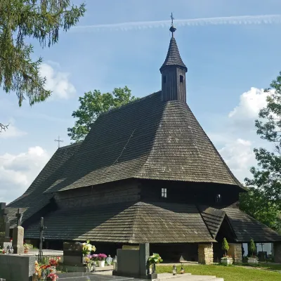 ChurchWooden Gothic Church of All Saints, TvrdošínTvrdošín9.9 km from the centreThe Wooden Gothic Church of All Saints (Kostol Všetkých svätých) stands in the cemetery of Tvrdošín in the Orava region, only a few dozen kilometres from the Polish...
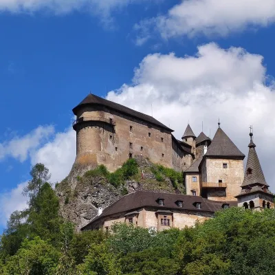 CastleOrava CastleOravský Podzámok19 km from the centreOrava Castle (Oravský hrad) stands on a sheer limestone rock above the Orava river in the village of Oravský Podzámok in northern Slovakia.
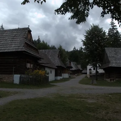 MuseumMuseum of the Orava Village (Zuberec open-air museum)Zuberec21 km from the centreThe Museum of the Orava Village (Múzeum oravskej dediny) is an open-air museum on the Brestová meadow at about 830 m, at the foot of the Western Tatras — the Roháče.
 Water parks & thermal poolsMeander Thermal Resort, OraviceVitanová23 km from the centreMeander Thermal & Ski Resort (formerly Meander Park) is a thermal water park and ski centre in the mountain settlement of Oravice in northern Slovakia, at the foot of...
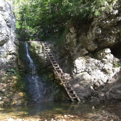 WaterfallRáztocký waterfall and the Oblazy mills (Kvačianska valley)Kvačany24 km from the centreThe Ráztocký waterfall (Ráztocký vodopád) is an eight-metre waterfall on the Ráztoka stream in the Chočské vrchy of northern Slovakia, just above the locality of...
Craft nearby
All craft placesSpas and thermal pools nearby
 Water parks & thermal poolsOravice thermal poolsVitanová23 km from the centreThe Oravice thermal pools (Termálne kúpalisko Oravice) are the municipal thermal baths in the mountain settlement of Oravice at the foot of the Western Tatras.Water parks & thermal poolsMeander Thermal Resort, OraviceVitanová23 km from the centreMeander Thermal & Ski Resort (formerly Meander Park) is a thermal water park and ski centre in the mountain settlement of Oravice in northern Slovakia, at the foot of...
Huts, shelters and springs nearby
Getting there from Ukraine
Border crossings
- Uzhhorod – Vyšné Nemecké — road, 24/7
- Malyi Bereznyi – Ubľa — road, 24/7 For cars and buses; pedestrians not confirmed by the Ukrainian border service, lorries up to 3.5 t.
- Mali Selmentsi – Veľké Slemence (pedestrian) — pedestrian, 09:00–21:00 Kyiv time Pedestrians and cyclists only; inconvenient for the Tatras without onward transport.
- Chop – Čierna nad Tisou (rail) — rail, 24/7
By car
From Uzhhorod ≈275 km, ≈3 h 35 min without queues: Uzhhorod – Vyšné Nemecké → I/19 to Košice → D1 motorway via Prešov, Poprad and Liptovský Mikuláš to Ružomberok (≈270 km, ≈3 h 25 min from the border). From Lviv it is faster through Poland: M-10 → Krakovets – Korczowa → A4 to Kraków → S7/DK7 to the Chyżne – Trstená border → R3 and I/59 via Dolný Kubín to Ružomberok: ≈482 km, ≈6 h 15 min (via Uzhok and Ubľa ≈500 km, ≈7 h 30 min). The D1 requires an e-vignette (eznamka.sk).
Checked 23.10.2026; border crossing hours and timetables change — check before you travel.
