Harklowa
Nowy Targ County · Lesser Poland Voivodeship · Poland
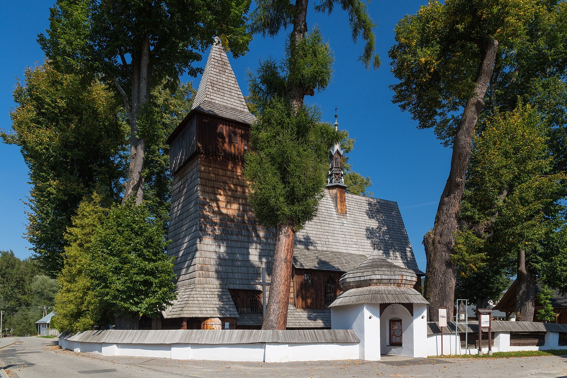
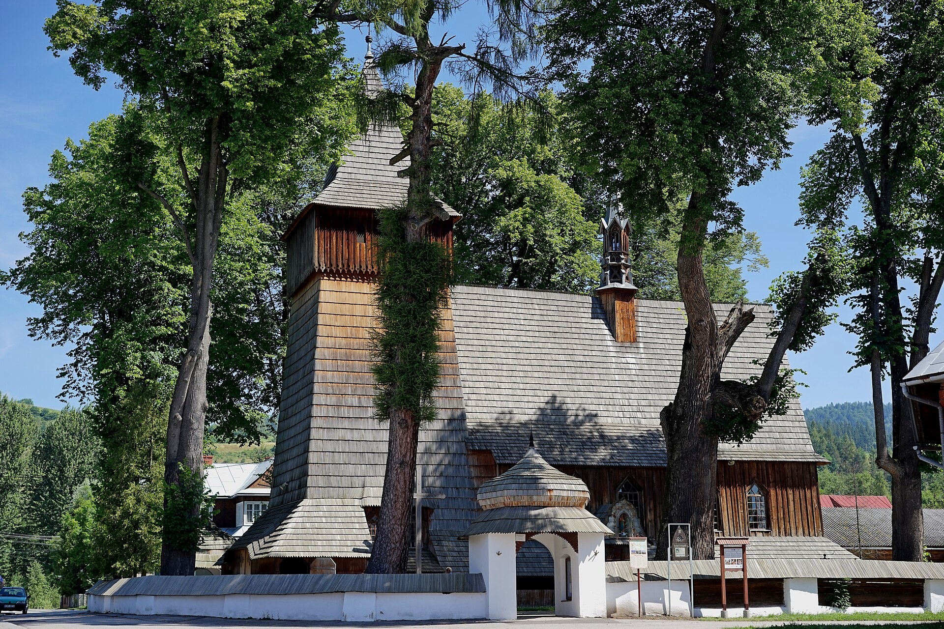
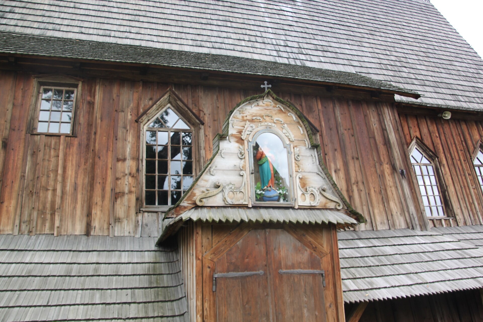
Photos: Marcin Konsek, CC BY-SA 4.0 (Wikimedia Commons); AndrzejH, CC BY-SA 3.0 pl (Wikimedia Commons); Lollencja, CC BY-SA 3.0 pl (Wikimedia Commons)
Harklowa is a village in Poland.
Elevation: about 638 m above sea level. Population: 690 (2021). Mountains nearby: Western Carpathians.
Here and nearby on the site: 1 trail.
Facts: Wikidata, OpenStreetMap. More on Wikipedia
Trails nearby
All trails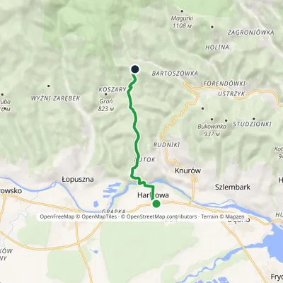 EasyOne-dayMarkedHarklowa Bukowina HarklowskaElevation profile546–985 m5.8 kmascent 443 m≈ 2.5 h walkingunder 1 km from the centre
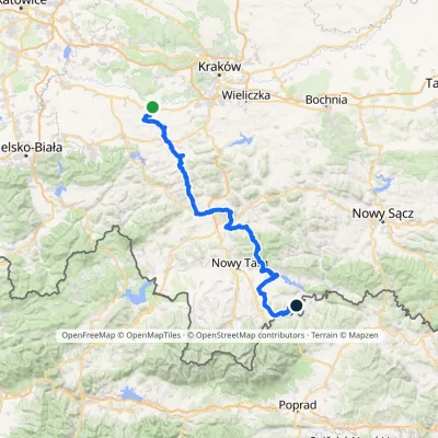 HardMulti-dayMarkedBrzeźnica KacwinElevation profile220–1 289 m143 kmascent 4 206 munder 1 km from the centre
 HardMulti-dayMarkedMain Trail of BeskidyElevation profile309–1 723 m499.9 kmascent 19 519 m3.3 km from the centre
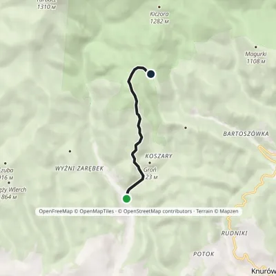 EasyOne-dayMarkedSeweryn Goszczyński TrailElevation profile651–1 136 m4.1 kmascent 484 m≈ 2 h walking3.4 km from the centre
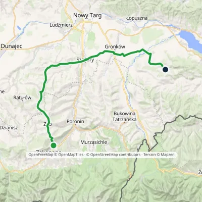 HardMulti-dayMarkedZakopane Dursztynvia SzaflaryElevation profile595–1 018 m35.5 kmascent 514 m≈ 10 h walking4.1 km from the centre
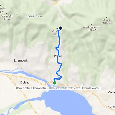 EasyOne-dayMarkedHuba below KotelnicaElevation profile554–918 m3.6 kmascent 364 m≈ 1.5 h walking4.4 km from the centre
Peaks nearby
All peaks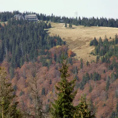 PeakTurbaczObidowaaltitude 1 310 m8.7 km from the centreTurbacz is the highest peak of the Gorce Mountains, 1,310 m high, lying at the very centre of the range in southern Lesser Poland, about 30 km north of Zakopane.
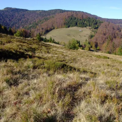 PeakPrzysłop (Gorce)Ochotnica Górnaaltitude 1 187 m8.9 km from the centrePrzysłop is a 1,187 m summit in the Gorce mountains of southern Poland, in the Gorc range between Jaworzyna Kamienicka (1,288 m) and Gorc (1,228 m).
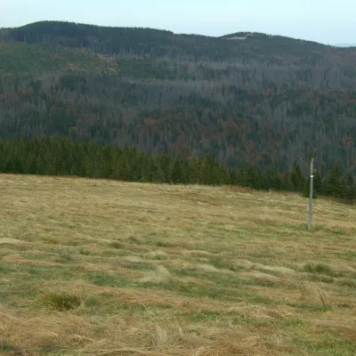 PeakKudłońLubomierzaltitude 1 274 m11 km from the centreKudłoń is a 1,274 m summit, the fourth-highest in the Gorce. It lies north-east of Turbacz on the ridge that links Turbacz with the Island Beskids via the Przysłop...
 PeakWdżarKluszkowcealtitude 767 m11 km from the centreWdżar is a 767 m mountain above the village of Kluszkowce in the Czorsztyn municipality of Lesser Poland Voivodeship.
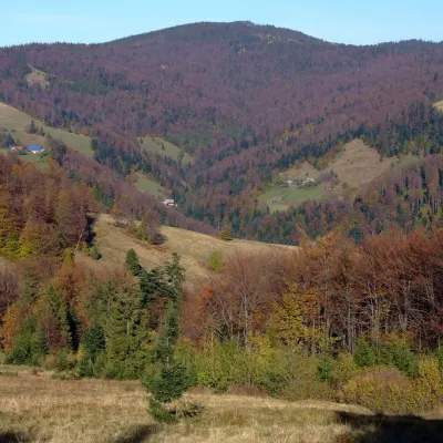 PeakGorcZasadnealtitude 1 228 m12 km from the centreGorc (1,228 m) is a summit in the eastern part of the main ridge of the Gorce Mountains in southern Lesser Poland.
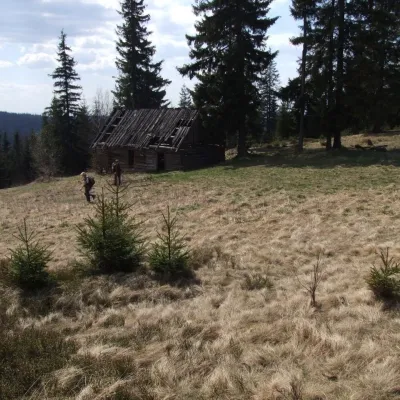 PeakObidowiecKoninkialtitude 1 105 m12 km from the centreObidowiec is a summit about 1,105 m high (1,104.6 m per Polish Wikipedia) on the main ridge of the Gorce mountains in southern Poland.
What to visit
All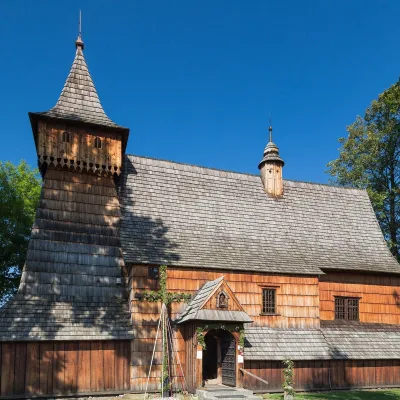 ChurchSt Michael the Archangel Church in DębnoDębno3.3 km from the centreSt Michael the Archangel Church in the village of Dębno in Podhale is one of the best-preserved Gothic wooden churches in Europe and probably the best-known wooden...
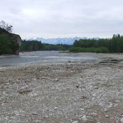 RiverBiałka RiverNowa Biała5.8 km from the centreThe Białka, in Slovak Biela voda, is a right-bank tributary of the Dunajec in southern Poland and one of the few rivers that have kept a natural, unregulated mountain...
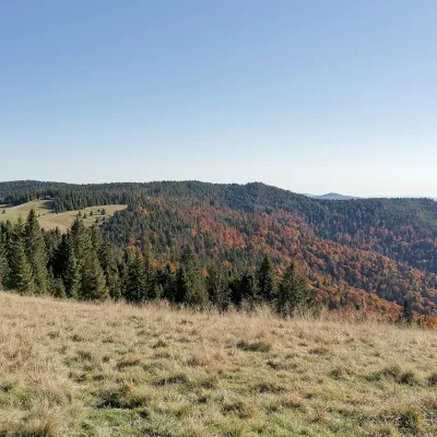 Mountain meadowHala Długa below TurbaczKoninkialtitude 1 202 m8.4 km from the centreHala Długa is a large mountain glade on the ridge of Turbacz, the highest peak of the Gorce (1,310 m).
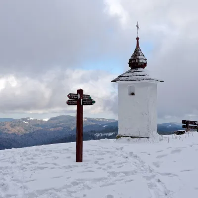 Mountain meadowPolana Jaworzyna KamienickaLubomierzaltitude 1 265 m8.6 km from the centrePolana Jaworzyna Kamienicka (also simply Jaworzyna) is a mountain glade on the north-eastern slope of Jaworzyna Kamienicka (1,288 m), the second-highest peak of the...
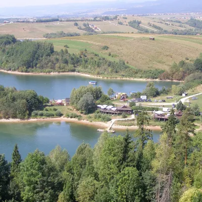 LakeLake CzorsztynFalsztyn8.9 km from the centreLake Czorsztyn (Jezioro Czorsztyńskie) is a reservoir on the Dunajec river in the Nowy Targ Basin, between the Pieniny and the Gorce.
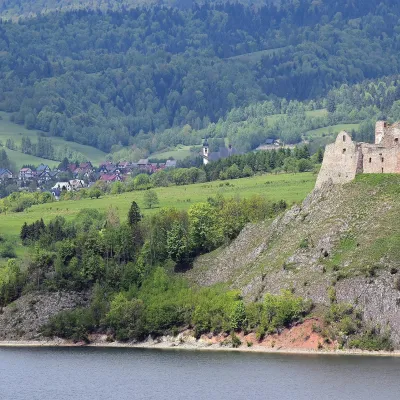 CastleCzorsztyn Castle ruinsCzorsztyn11 km from the centreThe ruins of Czorsztyn Castle rise on a limestone rock above Lake Czorsztyn, on the border between Podhale and the Pieniny mountains.
Craft nearby
All craft places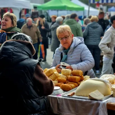 Markets & fairsNowy Targ Fair (Nowa Targowica)Nowy Targ8.7 km from the centreThe fair in Nowy Targ is the largest and oldest market in Podhale. On Thursdays and Saturdays highlanders from the surrounding villages, Slovaks from across the border...
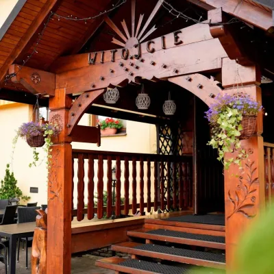 Koliby & Hutsul cuisineKarcma u Borzanka, Nowy Targ: highland food in an 18th-century innNowy Targ9 km from the centreKarcma u Borzanka is a highland tavern in the oldest coaching inn of Nowy Targ, the capital of Podhale.
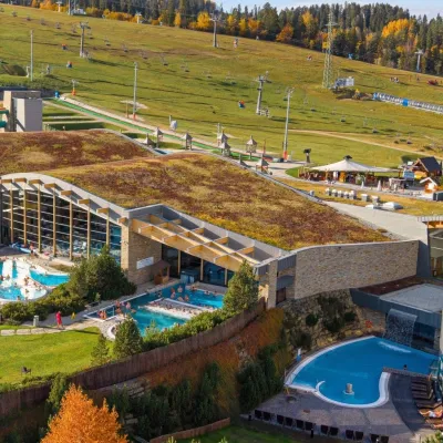 Water parks & thermal poolsTerma BaniaBiałka Tatrzańska11 km from the centreTerma Bania is a large thermal water park in the village of Białka Tatrzańska, at the foot of the Kotelnica ski slope.
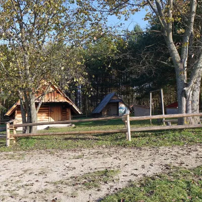 Cheese dairies & pasturesMajerz Meadow Shepherd's Hut, Pieniny National Park: oscypek and żętycaKrośnica13 km from the centreMajerz meadow (hala) sits on a 689 m hill between Czorsztyn-Nadzamcze and the village of Hałuszowa, above Lake Czorsztyn.
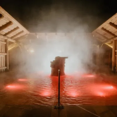 Water parks & thermal poolsTermy Gorący Potok (Szaflary)Bańska Niżna13 km from the centreTermy Gorący Potok is a complex of outdoor thermal pools in Szaflary, between Nowy Targ and Zakopane, about 15 km from Zakopane.
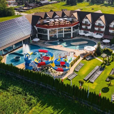 Water parks & thermal poolsTermy Szaflary (Termy Podhalańskie)Bańska Niżna14 km from the centreTermy Szaflary is a thermal complex in the village of Szaflary, between Nowy Targ and Zakopane. It used to be known as Termy Podhalańskie, a name still found in older...
Spas and thermal pools nearby
Water parks & thermal poolsTerma BaniaBiałka Tatrzańska11 km from the centreTerma Bania is a large thermal water park in the village of Białka Tatrzańska, at the foot of the Kotelnica ski slope.Water parks & thermal poolsTermy Gorący Potok (Szaflary)Bańska Niżna13 km from the centreTermy Gorący Potok is a complex of outdoor thermal pools in Szaflary, between Nowy Targ and Zakopane, about 15 km from Zakopane.Water parks & thermal poolsTermy Szaflary (Termy Podhalańskie)Bańska Niżna14 km from the centreTermy Szaflary is a thermal complex in the village of Szaflary, between Nowy Targ and Zakopane. It used to be known as Termy Podhalańskie, a name still found in older...Huts, shelters and springs nearby
Getting there from Ukraine
Border crossings
- Krakovets – Korczowa — road, 24/7
- Shehyni – Medyka — road, 24/7 Pedestrian crossing is not confirmed by the Ukrainian border service — check dpsu.gov.ua before the trip.
- Smilnytsia – Krościenko — road, 24/7
- Hrushiv – Budomierz — road, 24/7
- Mostyska – Przemyśl (rail) — rail, 24/7
By car
Lviv – Szczawnica ≈384 km, ≈5 h 25 min without queues: M-10 → Krakovets – Korczowa → A4 to Brzesko (≈198 km) → DK75 to Nowy Sącz → DW969 via Stary Sącz and Łącko to Krościenko nad Dunajcem → Szczawnica. ≈306 km, ≈4 h from the border.
Checked 23.10.2026; border crossing hours and timetables change — check before you travel.
