Białka River
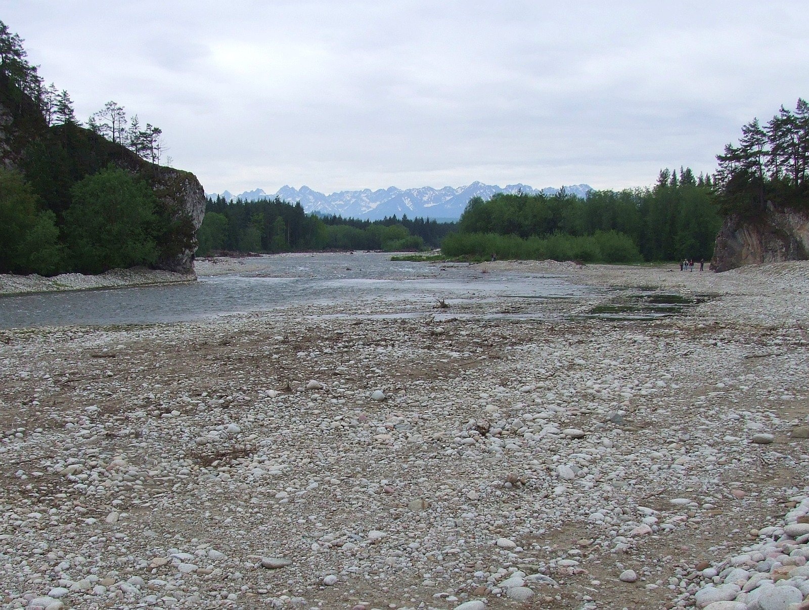
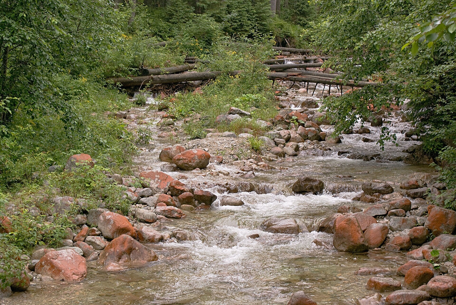
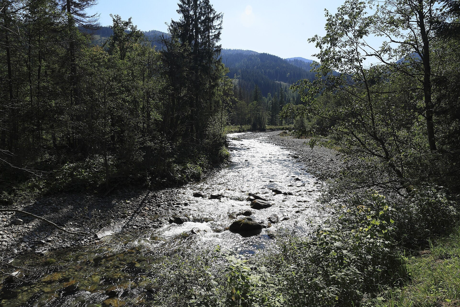
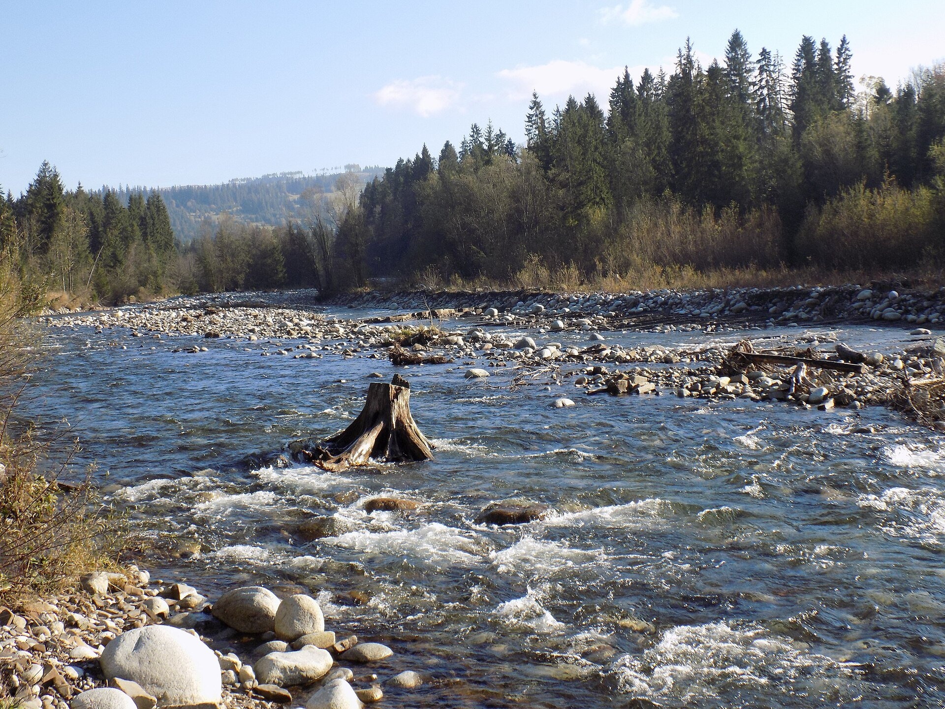
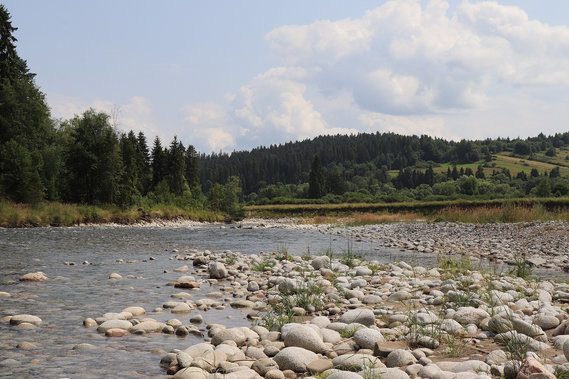
The Białka, in Slovak Biela voda, is a right-bank tributary of the Dunajec in southern Poland and one of the few rivers that have kept a natural, unregulated mountain bed. Together with its headstream, the Biela voda, it is 41 km long, and its basin covers 230 km². The Białka drains the north-eastern part of the High Tatras, flows north along the Polish–Slovak border and then along the boundary of Podhale and Spiš, and enters the Czorsztyn reservoir on the Dunajec. The river is named after the pale stones in its bed — Tatra granite rounded by the water into loaf-shaped boulders.
The course: from source to mouth
The Biela voda, which Slovaks regard as the upper course of the whole river, is formed at about 1,420 m below the threshold of the Kačacia valley in the High Tatras, where the Zelený and Litvorový streams meet. At about 1,090 m, at the mouth of the Biela voda and Rybi Potok valleys, it is joined by the Rybi Potok flowing from Morskie Oko on the Polish side of the Tatras; from here the Poles call the river the Białka. Down to the mouth of the Jaworowy Potok near Łysa Polana the river forms the Polish–Slovak border, then it flows through the Spiš–Gubałówka Foothills past Jurgów, Brzegi, Czarna Góra, Bukowina Tatrzańska and Białka Tatrzańska.
In the Nowy Targ Basin the current slows and the river braids into many channels between stony bars of Tatra granite. Between Białka Tatrzańska and Krempachy, near Trybsz, it cuts through limestone rocks in the narrow Białka Gorge below Krempachy, about 100 m wide, and further down near Dębno and Frydman enters the Czorsztyn reservoir at 510–529 m depending on the water level. Left-bank tributaries include the Rybi Potok, Roztoka and Waksmundzki Potok; right-bank ones the Biała Woda Białczańska, Jaworowy Potok and Jurgowczyk.
What to see along the river
- Morskie Oko — the largest lake of the Polish Tatras, the source of the Rybi Potok.
- Wodogrzmoty Mickiewicza (Mickiewicz Waterfalls) — a cascade on the Roztoka, a left-bank tributary of the Białka.
- Sołtys Farmstead in Jurgów — a Spiš wooden farmstead above the Białka valley.
- Korkosz Farmstead in Czarna Góra — another Spiš farmstead near the river.
- St Michael the Archangel Church in Dębno — a wooden church near the mouth.
The river and people
The Białka has long been a boundary: from 1771 to 1918 it marked the border between Spiš and Podhale, that is between Austrian Galicia and Hungary, and later between Poland and Czechoslovakia. Until the 16th century the river flowed around Nowa Biała on the west, but after a great flood it cut a new bed through the gorge between the Obłazowa and Kramnica rocks. In the Obłazowa cave above the gorge, archaeologists in 1985–1995 found traces of humans about 40,000 years old — the oldest in the Pieniny — and a boomerang made of mammoth tusk about 30,000 years old, the oldest known in the world; the cave entrance is closed. Slovaks historically called the upper Biela voda valley Podúplazská, after a meadow below Zadná kopa where shepherds from Polish Spiš had their huts.
Nature and safety
The Białka's water is very clean, spruce forests line the valley almost all the way, and the Belianske Tatras with Havran are in view all along. The valley is an ecological corridor between the Tatras and the Pieniny and is protected as the Natura 2000 site «Dolina Białki» (PLH120024). The gorge below Krempachy has been a nature reserve since 1931 (now 8.51 ha), with relict rock vegetation and Jurassic ammonites in the cliffs. The headwaters lie in the Tatra national parks; on the Slovak bank you may walk only on marked trails. The Białka has a snowmelt regime, carries most water when the snow melts and rises quickly after downpours. In the Tatras, rescue is TOPR: +48 601 100 300 or 985, on the Slovak side HZS 18 300; the general emergency number is 112.
Nearby: peaks, trails, huts
From Palenica Białczańska the trail Palenica Białczańska – Morskie Oko leads to the source of the Rybi Potok, Rusinowa Polana – Palenica Białczańska climbs to the meadow above the valley, Tatranská Lomnica – Lysá Poľana crosses the border at Łysa Polana, and from Trybsz Trybsz – Polana Podokólne rises above the gorge.
Photos: Jerzy Opioła, CC BY-SA 4.0, Wikimedia Commons; Trybus, CC BY-SA 3.0 pl, Wikimedia Commons; Falk2, CC BY-SA 4.0, Wikimedia Commons; B1i2k3e4r, CC BY 3.0, Wikimedia Commons; Andrzej Otrębski, CC BY-SA 4.0, Wikimedia Commons.
Getting there from Ukraine
Border crossings
- Krakovets – Korczowa — road, 24/7
- Shehyni – Medyka — road, 24/7 Pedestrian crossing is not confirmed by the Ukrainian border service — check dpsu.gov.ua before the trip.
- Smilnytsia – Krościenko — road, 24/7
- Hrushiv – Budomierz — road, 24/7
- Mostyska – Przemyśl (rail) — rail, 24/7
By car
Lviv – Zakopane ≈421 km, ≈5 h 10 min without border queues. Route: M-10 Lviv – Krakovets → Krakovets – Korczowa checkpoint → A4 motorway (Rzeszów – Tarnów – Kraków) → Kraków southern bypass → S7/DK7 → DK47 ('Zakopianka') via Nowy Targ → Zakopane. The A4 Katowice – Kraków section (Balice and Mysłowice toll plazas) is tolled, but this route does not use it. In summer and at weekends the DK47 near Zakopane is often congested.
Checked 23.10.2026; border crossing hours and timetables change — check before you travel.
Location on the map
Comments
Trails nearby
All trails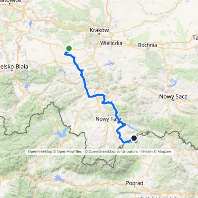 HardMulti-dayMarkedBrzeźnica KacwinElevation profile220–1 289 m143 kmascent 4 206 munder 1 km from Białka River
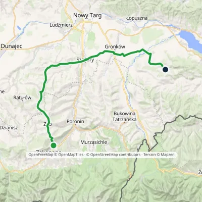 HardMulti-dayMarkedZakopane Dursztynvia SzaflaryElevation profile595–1 018 m35.5 kmascent 514 m≈ 10 h walkingunder 1 km from Białka River
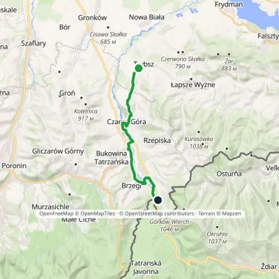 ModerateOne-dayMarkedTrybsz Polana PodokólneElevation profile661–902 m14.6 kmascent 468 m≈ 4.5 h walking2.3 km from Białka River
Nearby attractions
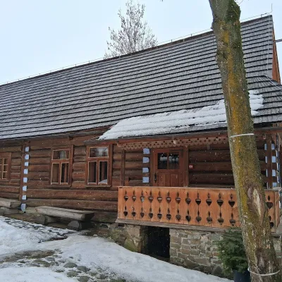 MuseumKorkosz Farmstead in Czarna GóraCzarna Góra4.7 km from Białka RiverThe Korkosz Farmstead (Zagroda Korkoszów) is a branch of the Tatra Museum in Czarna Góra, one of the fourteen villages of Polish Spiš, founded at the turn of the 16th...
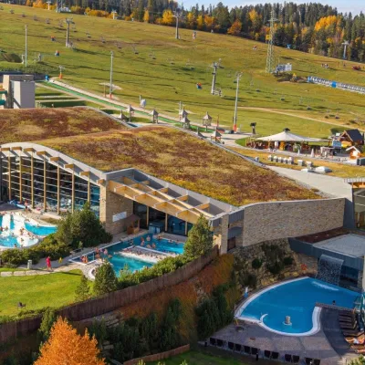 Water parks & thermal poolsTerma BaniaBiałka Tatrzańska5.1 km from Białka RiverTerma Bania is a large thermal water park in the village of Białka Tatrzańska, at the foot of the Kotelnica ski slope.
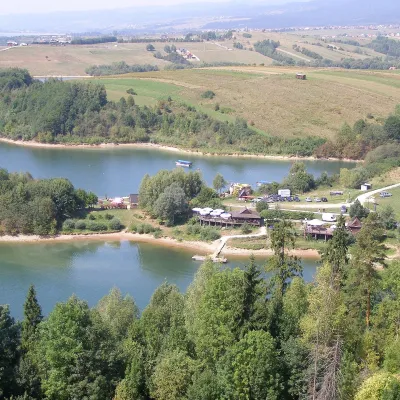 LakeLake CzorsztynFalsztyn11 km from Białka RiverLake Czorsztyn (Jezioro Czorsztyńskie) is a reservoir on the Dunajec river in the Nowy Targ Basin, between the Pieniny and the Gorce.
Craft nearby
All craft places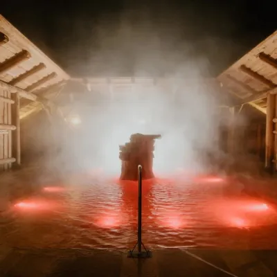 Water parks & thermal poolsTermy Gorący Potok (Szaflary)Bańska Niżna8.3 km from Białka RiverTermy Gorący Potok is a complex of outdoor thermal pools in Szaflary, between Nowy Targ and Zakopane, about 15 km from Zakopane.
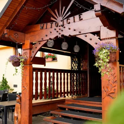 Koliby & Hutsul cuisineKarcma u Borzanka, Nowy Targ: highland food in an 18th-century innNowy Targ8.4 km from Białka RiverKarcma u Borzanka is a highland tavern in the oldest coaching inn of Nowy Targ, the capital of Podhale.
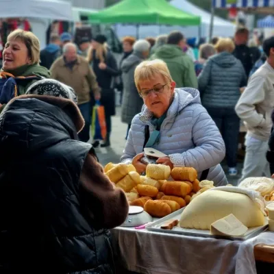 Markets & fairsNowy Targ Fair (Nowa Targowica)Nowy Targ8.5 km from Białka RiverThe fair in Nowy Targ is the largest and oldest market in Podhale. On Thursdays and Saturdays highlanders from the surrounding villages, Slovaks from across the border...
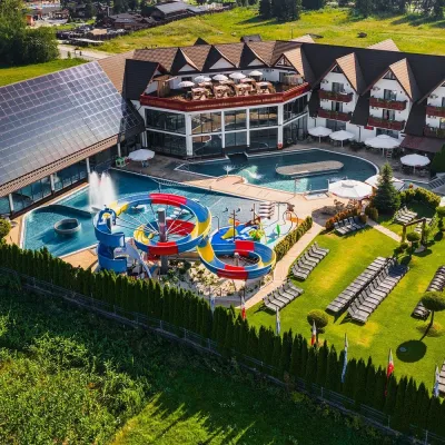 Water parks & thermal poolsTermy Szaflary (Termy Podhalańskie)Bańska Niżna8.6 km from Białka RiverTermy Szaflary is a thermal complex in the village of Szaflary, between Nowy Targ and Zakopane. It used to be known as Termy Podhalańskie, a name still found in older...
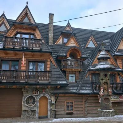 Crafts & workshopsDrewutnia, Bukowina Tatrzańska: glass painting workshops and highland furnitureBukowina Tatrzańska11 km from Białka RiverDrewutnia ("the woodshed") calls itself a "shop for cultural needs". It is the family business of the Kuchtas of Bukowina Tatrzańska, who say they have lived here...
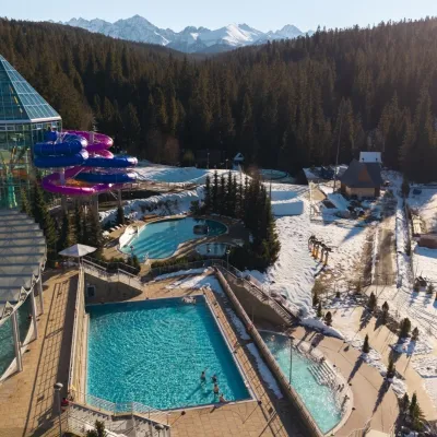 Water parks & thermal poolsTermy BukovinaBukowina Tatrzańska12 km from Białka RiverTermy Bukovina is a modern thermal pool complex in Bukowina Tatrzańska, a village lying about a thousand metres above sea level on the edge of the Tatra National Park.
