Trybsz – Polana Podokólne
Trail map
Route, springs and shelters: © OpenStreetMap contributors (ODbL) · elevation: Copernicus DEM © DLR e.V., © Airbus DS · Data & licences
About the trail
Route Trybsz – Polana Podokólne. Has green marking (regional route). Waymarking data: OpenStreetMap (© OpenStreetMap contributors, ODbL).
Officially marked regional tourist route. The marking is green, the sign is a horizontal stripe on a white background. Length of the route — 14.6 km. Location: mountain range — Podhale and Spiš, Poland.
At a glance
A one-day route of 14.6 km with 468 m of ascent from Trybsz to Polana Podokólne. Estimated walking time: about 4.5 h, not counting stops. Difficulty: moderate. Waymarking: green.
Route stages
- 0–3 kmClimb of 220 m to Litwinka (902 m)
- 3–6 kmDescent of 170 m (down to 715 m)
- 6–9 kmGentle ups and downs at 710–790 m
- 9–11 kmClimb of 110 m to Koziniec (902 m)
- 11–12 kmDescent of 110 m (down to 786 m)
- 12–15 kmGentle ups and downs at 780–820 m
Steepest kilometre: km 4–5, a descent of 130 m (≈13%).
Water and overnight stays
Our map shows no springs near the trail — bring your own water (at least 2.5 l).
When to go
The route can be walked most of the year; it is most comfortable from April to October.
Getting there
Start: Trybsz. This is a one-way route: the finish is 10 km from the start in a straight line, so plan your way back in advance.
FAQ
- How long does the route take?
- Estimated walking time: about 4.5 h, not counting stops.
- Is there water on the route?
- Our map shows no springs near the trail — bring your own water (at least 2.5 l).
Comments
Trails nearby
All trails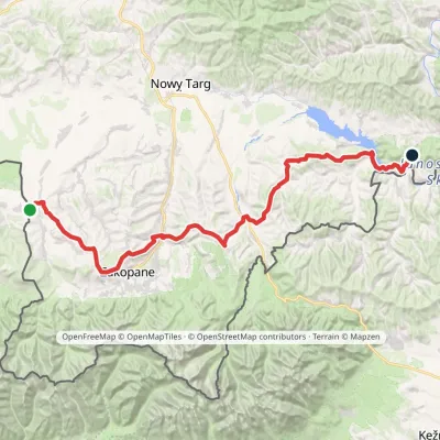
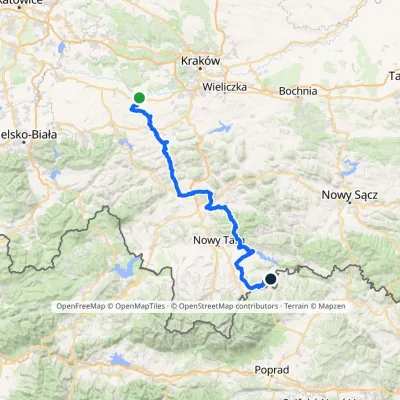
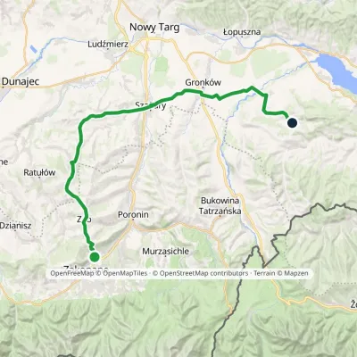
Craft nearby
All craft places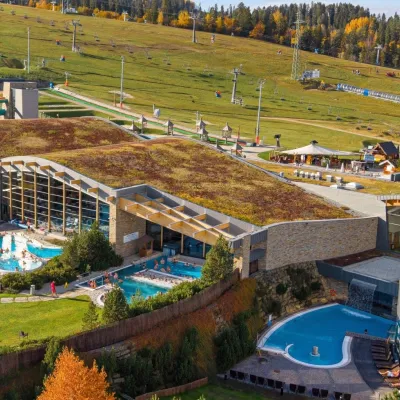 Water parks & thermal poolsTerma BaniaBiałka Tatrzańska3.5 km from the trailTerma Bania is a large thermal water park in the village of Białka Tatrzańska, at the foot of the Kotelnica ski slope.
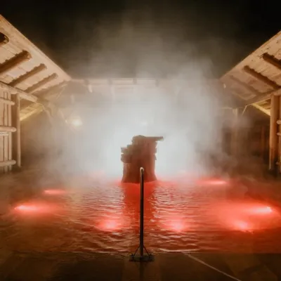 Water parks & thermal poolsTermy Gorący Potok (Szaflary)Bańska Niżna8.2 km from the trailTermy Gorący Potok is a complex of outdoor thermal pools in Szaflary, between Nowy Targ and Zakopane, about 15 km from Zakopane.
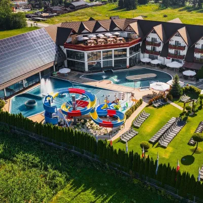 Water parks & thermal poolsTermy Szaflary (Termy Podhalańskie)Bańska Niżna8.4 km from the trailTermy Szaflary is a thermal complex in the village of Szaflary, between Nowy Targ and Zakopane. It used to be known as Termy Podhalańskie, a name still found in older...
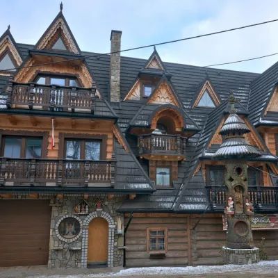 Crafts & workshopsDrewutnia, Bukowina Tatrzańska: glass painting workshops and highland furnitureBukowina Tatrzańska9 km from the trailDrewutnia ("the woodshed") calls itself a "shop for cultural needs". It is the family business of the Kuchtas of Bukowina Tatrzańska, who say they have lived here...
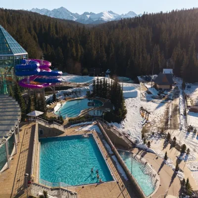 Water parks & thermal poolsTermy BukovinaBukowina Tatrzańska9.8 km from the trailTermy Bukovina is a modern thermal pool complex in Bukowina Tatrzańska, a village lying about a thousand metres above sea level on the edge of the Tatra National Park.
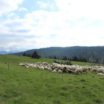 Cheese dairies & pasturesU Jancoka Shepherd's Hut, Brzegi: oscypek from Poland's first female bacaBrzegi10 km from the trailThe U Jancoka shepherd's hut (bacówka) stands beside regional road 960, which runs from Bukowina Tatrzańska to the Łysa Polana border crossing, in the village of Brzegi.
