Kudłoń
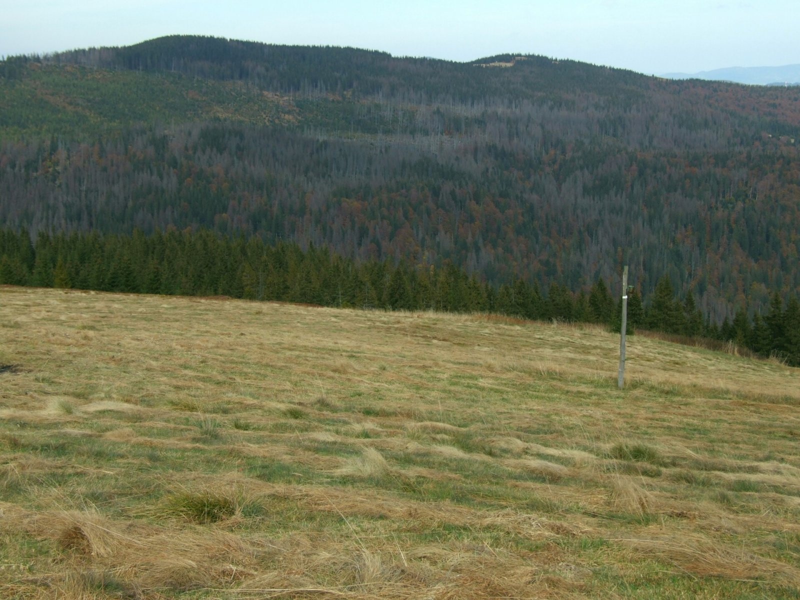
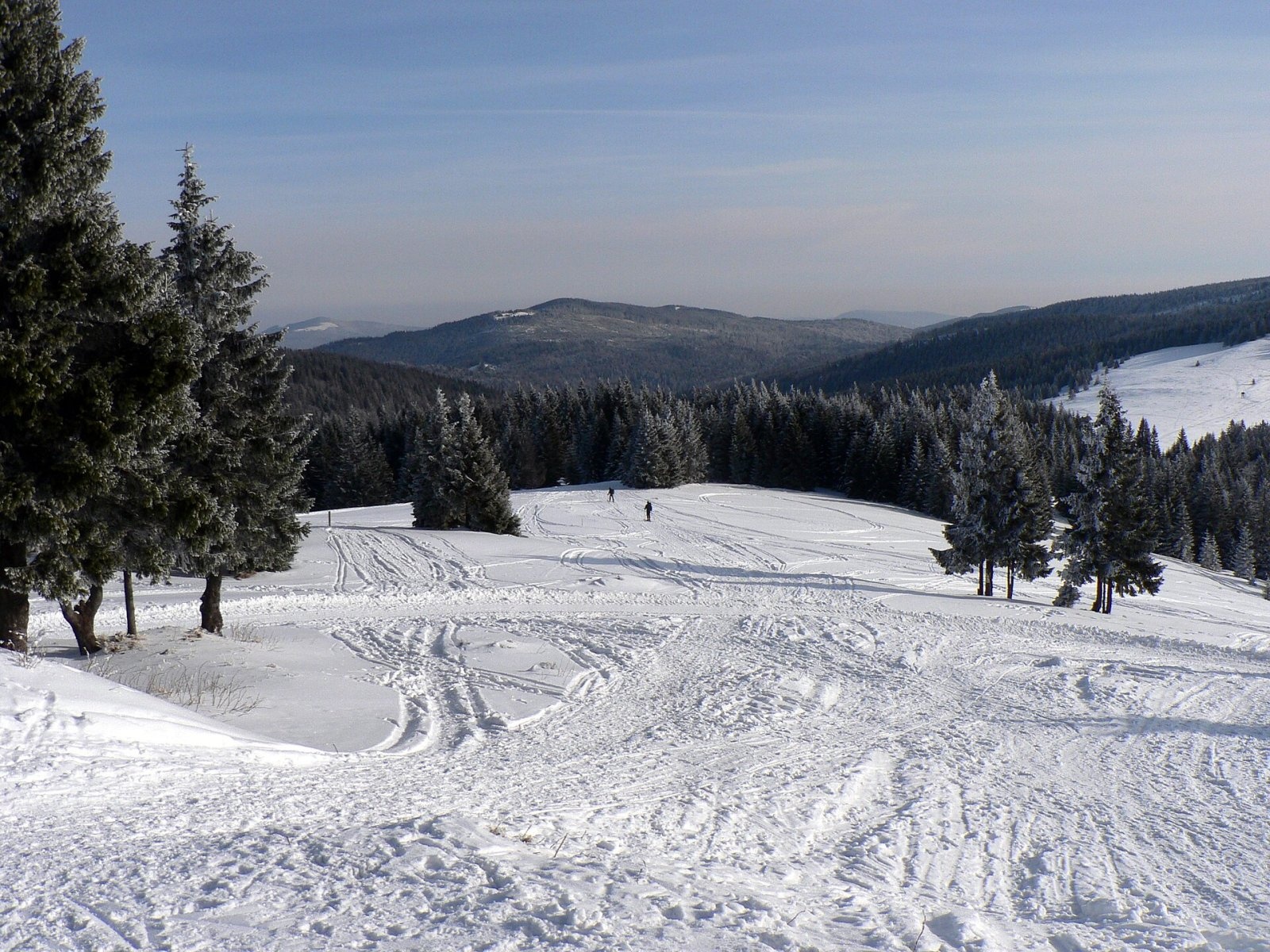
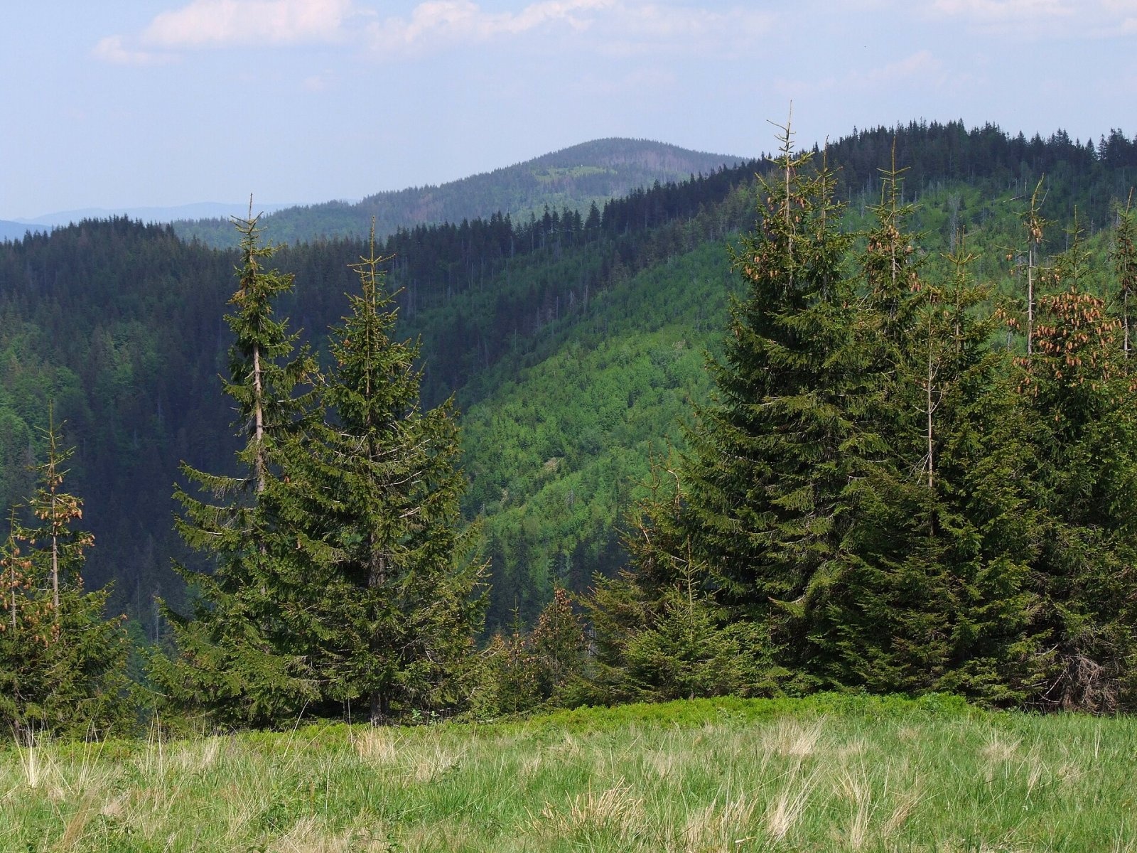
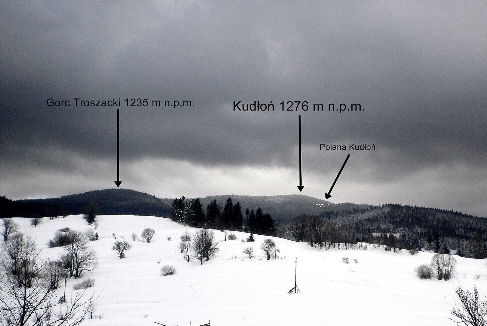
Kudłoń is a 1,274 m summit, the fourth-highest in the Gorce. It lies north-east of Turbacz on the ridge that links Turbacz with the Island Beskids via the Przysłop Pass, and is regarded as the most prominent peak of the Gorce National Park. The name comes from the surname Kudeł or Kudła. The nearest hamlets of the Konina, Mszanka and Kamienica valleys lie 3.5–4 km from the summit.
Kudłoń is a junction of several ridges. To the north-east a ridge descends via Gorc Troszacki and Jaworzynka to the Przysłop Pass; to the south-west another runs via Przysłopek to the Borek Pass (1,009 m) and on to Turbacz. Two side ridges also leave the summit: a north-western one about 4 km long with Kopa, and the 6.5 km northern ridge of Kiełbaśna. The watershed between the Dunajec and Raba basins crosses Kudłoń: streams from the southern slopes flow into the Kamienicki Potok (Dunajec), from the northern slopes into the Mszanka and from the western slopes into the Konina (both Raba basin).
How to get there / trails
- From Konina via Cyrla Hanulowa, Kopa, Figurki and the Pustak clearing — 4.5 km, 610 m of ascent, about 2 h (1 h 10 min down). In OSM this is the black trail Turbaczyk – Konina – Kudłoń – Lubomierz.
- From Rzek (Lubomierz) via Trusiówka, Papieżówka, the Stawieniec clearing and Gorc Troszacki to the junction below Kudłoń — 7.9 km, about 3 h (2 h 20 min down).
- Yellow ridge trail: Przysłop Pass — Podskały — Adamówka — Gorc Troszacki — Kudłoń — Pustak — Borek Pass — Hala Turbacz — Turbacz. 11.4 km, 810 m of ascent, 3 h 35 min (3 h back).
- A green trail also leads to the summit from the Kamienica valley.
The view from the top
The summit barely rises above the ridge and is wooded, so there are no views from it; it bears a survey marker post, and the trails cross a little lower down. The best-known viewpoint is the Kudłoń clearing on the northern slopes, with a wide panorama of the Podskały clearing and the Island Beskid peaks.
Nature and history
As on other Gorce summits, Kudłoń has clearings that were grazed for several hundred years. Grazing peaked before the Second World War, then gradually declined until it stopped altogether, and since then the clearings have been overgrown by bilberry and forest. Besides the Kudłoń clearing they include Pustak, Cerla Hanulowa, Pyrzówka, Kopa, Figurki Niżne and Wyżne, and Stawieniec.
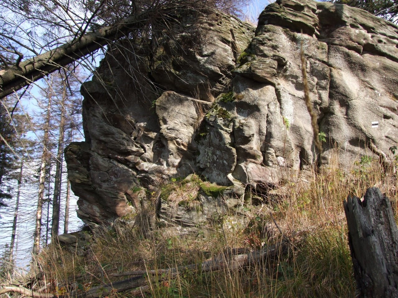
Kudłoń has the most numerous and best-known rock outcrops in the Gorce: the summit area holds three groups of impressive sandstone rocks up to 20 m high, the most famous being Kudłoński Baca on the northern slopes. There are also small caves: Szczelina w Kudłoniu near the Kopa clearing and Kudłońska Koleba in the Za Palaczem stream. When the summit was still open, it carried the only stand of dwarf pine in the Gorce, probably planted; once the summit was afforested, the pine died out.
Safety, season and rules
Kudłoń lies in the Gorce National Park, where walking is allowed only on marked trails. The ascents are long and in winter deep snow lies on the ridge, so plan your time and carry water. Take care near the rocks: they are high and steep.
Mountain rescue in the Gorce is provided by GOPR: 985 or +48 601 100 300, and 112.
Photos: Jerzy Opioła, CC BY-SA 3.0; Krzysztof Dudzik-Górnicki (User:ToSter), CC BY-SA 3.0; Jerzy Opioła, CC BY-SA 4.0; Jarekbarcelona, CC BY 3.0; Jerzy Opioła, CC BY-SA 3.0; Jerzy Opioła, CC BY-SA 3.0 — Wikimedia Commons.
Getting there from Ukraine
Border crossings
- Krakovets – Korczowa — road, 24/7
- Shehyni – Medyka — road, 24/7 Pedestrian crossing is not confirmed by the Ukrainian border service — check dpsu.gov.ua before the trip.
- Smilnytsia – Krościenko — road, 24/7
- Hrushiv – Budomierz — road, 24/7
- Mostyska – Przemyśl (rail) — rail, 24/7
By car
Lviv – Szczawnica ≈384 km, ≈5 h 25 min without queues: M-10 → Krakovets – Korczowa → A4 to Brzesko (≈198 km) → DK75 to Nowy Sącz → DW969 via Stary Sącz and Łącko to Krościenko nad Dunajcem → Szczawnica. ≈306 km, ≈4 h from the border.
Checked 23.10.2026; border crossing hours and timetables change — check before you travel.
Location on the map
Water and shelter nearby
- Hut below Czerwony Groń1.3 km · Not verified · 1 062 m
Comments
Trails nearby
All trails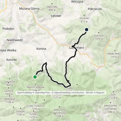 ModerateTwo-dayMarkedTurbaczyk Lubomierzvia Konina, KudłońElevation profile542–1 274 m18.3 kmascent 990 m≈ 6.5 h walkingunder 1 km from Kudłoń
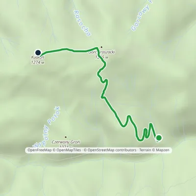 EasyOne-dayMarkedDolina Kamienicy KudłońElevation profile903–1 274 m3.7 kmascent 371 m≈ 1.5 h walkingunder 1 km from Kudłoń
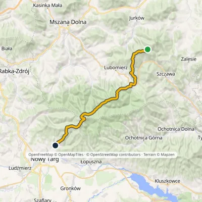 HardMulti-dayMarkedMały Krzystanów KowaniecElevation profile656–1 289 m28.7 kmascent 1 194 m≈ 9.5 h walkingunder 1 km from Kudłoń
Nearby attractions
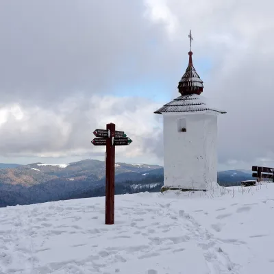 Mountain meadowPolana Jaworzyna KamienickaLubomierzaltitude 1 265 m2.6 km from KudłońPolana Jaworzyna Kamienicka (also simply Jaworzyna) is a mountain glade on the north-eastern slope of Jaworzyna Kamienicka (1,288 m), the second-highest peak of the...
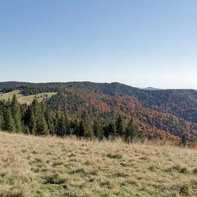 Mountain meadowHala Długa below TurbaczKoninkialtitude 1 202 m4.4 km from KudłońHala Długa is a large mountain glade on the ridge of Turbacz, the highest peak of the Gorce (1,310 m).
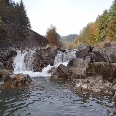 WaterfallSpad Waterfall, SzczawaSzczawa9.1 km from KudłońSpad is a natural waterfall on the Kamienica Gorczańska, a left tributary of the Dunajec, in the village of Szczawa on the border of the Gorce and the Island Beskids ...
Craft nearby
All craft places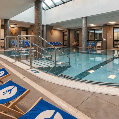 Water parks & thermal poolsTermy Gorce thermal bathsNiedźwiedź9 km from KudłońTermy Gorce is a small, cosy thermal complex in the village of Poręba Wielka, in the municipality of Niedźwiedź, at the foot of the Gorce Mountains.
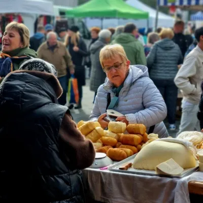 Markets & fairsNowy Targ Fair (Nowa Targowica)Nowy Targ13 km from KudłońThe fair in Nowy Targ is the largest and oldest market in Podhale. On Thursdays and Saturdays highlanders from the surrounding villages, Slovaks from across the border...
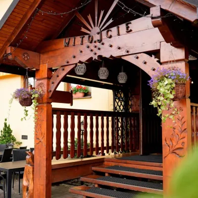 Koliby & Hutsul cuisineKarcma u Borzanka, Nowy Targ: highland food in an 18th-century innNowy Targ14 km from KudłońKarcma u Borzanka is a highland tavern in the oldest coaching inn of Nowy Targ, the capital of Podhale.
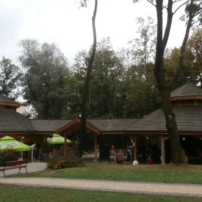 Water parks & thermal poolsRabka-Zdrój spa: brine graduation tower, pump rooms, treatmentsRabka-Zdrój16 km from KudłońRabka-Zdrój is a spa in the Raba valley between the Gorce, the Beskid Wyspowy and the Beskid Makowski, halfway from Kraków to Zakopane.
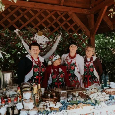 Markets & fairsFruit Harvest Festival in Łącko: village stands, fruit and folkloreŁącko18 km from KudłońŁącko, in the Dunajec valley between Stary Sącz and the Pieniny, is one of Poland's best-known fruit-growing areas: the slopes around are covered with apple, pear and...
 Cheese dairies & pasturesMajerz Meadow Shepherd's Hut, Pieniny National Park: oscypek and żętycaKrośnica19 km from KudłońMajerz meadow (hala) sits on a 689 m hill between Czorsztyn-Nadzamcze and the village of Hałuszowa, above Lake Czorsztyn.
