Polana Jaworzyna Kamienicka
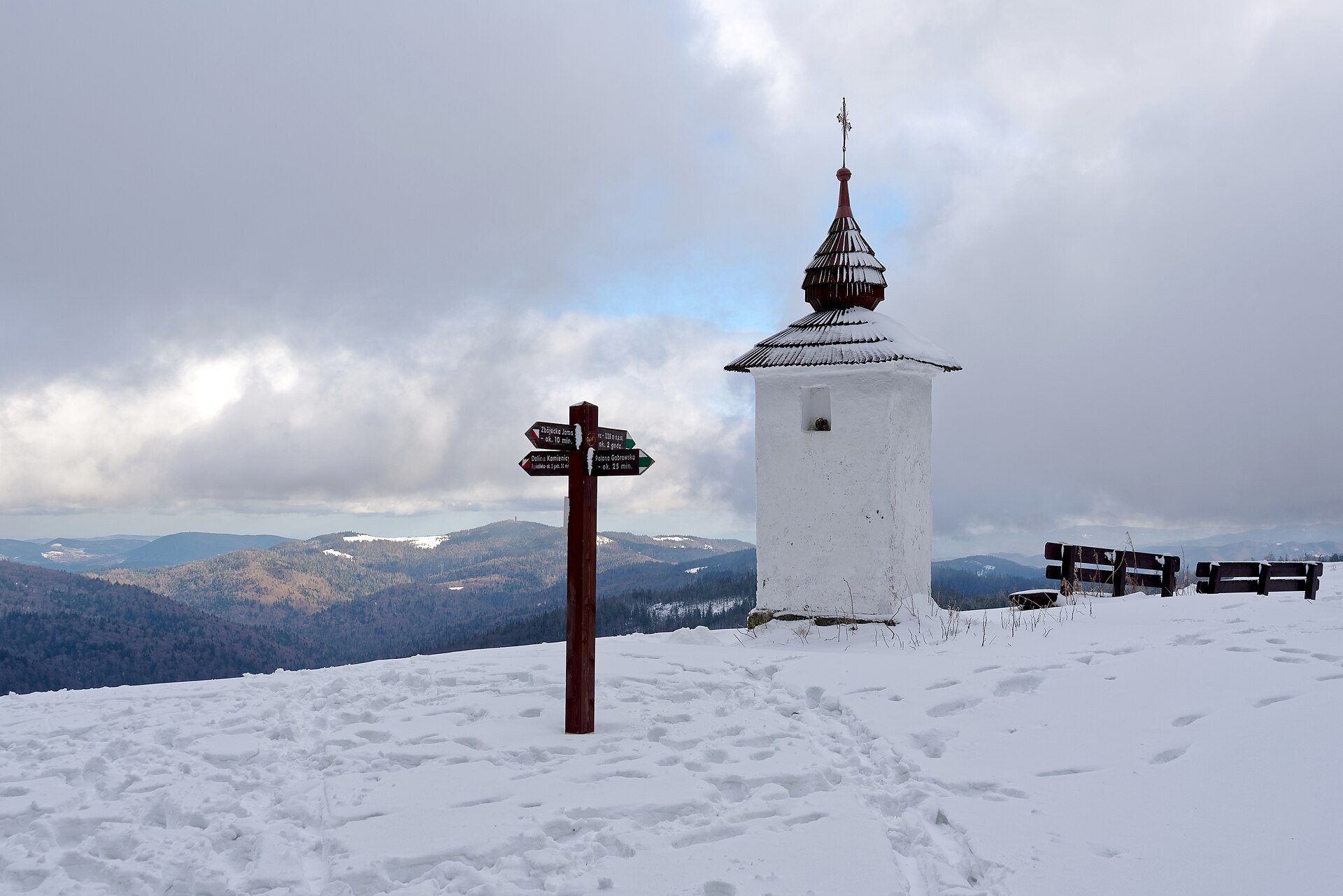
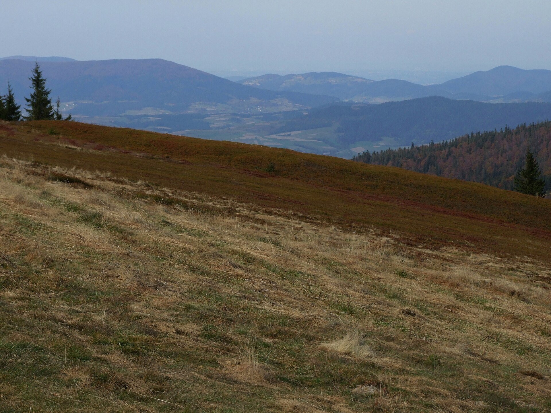
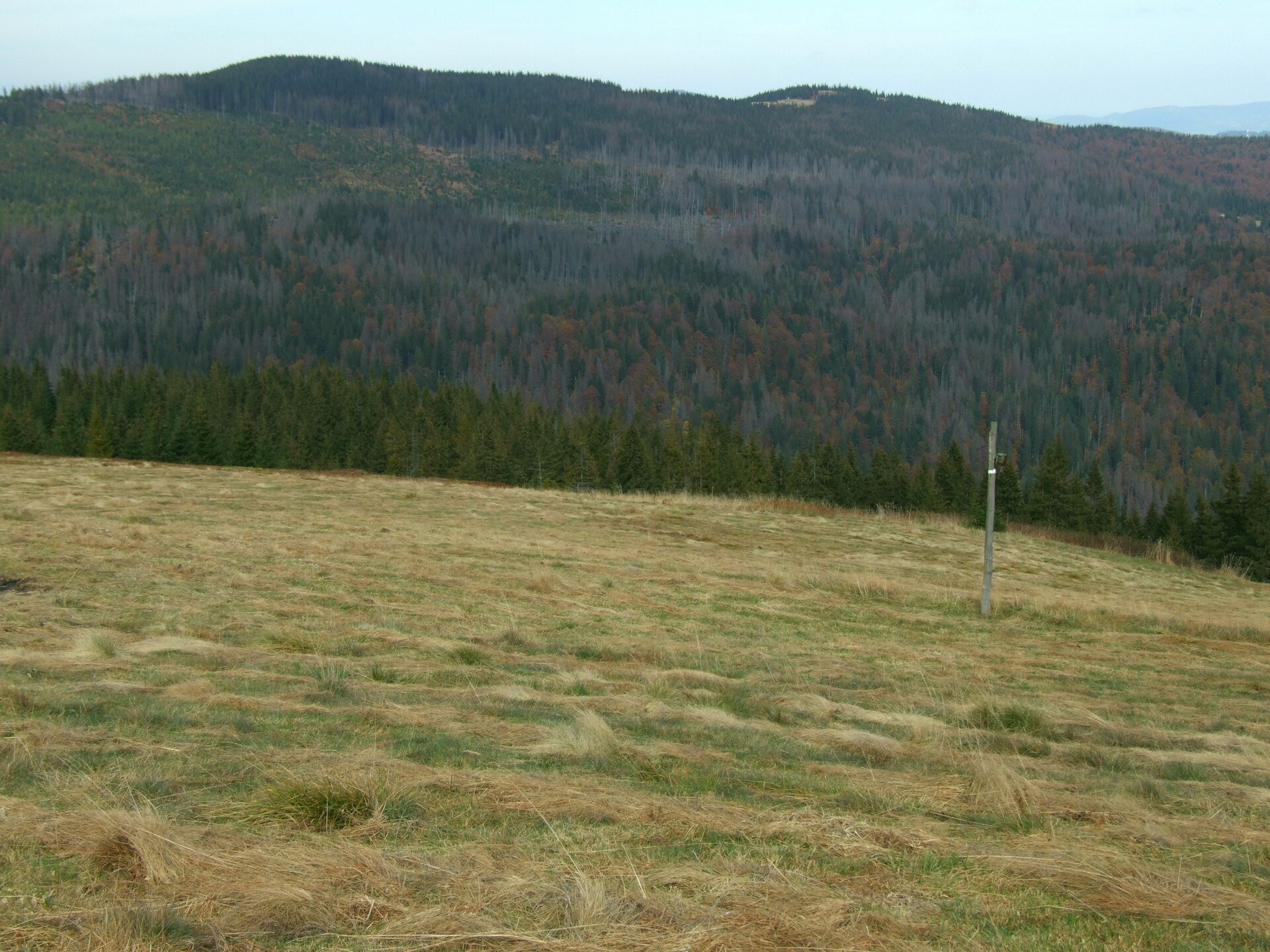
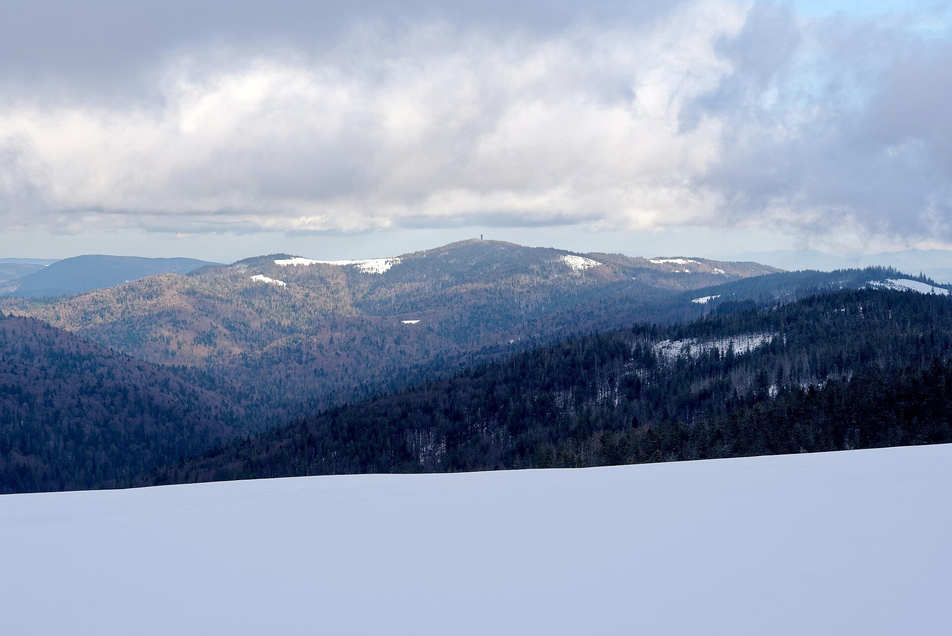
Polana Jaworzyna Kamienicka (also simply Jaworzyna) is a mountain glade on the north-eastern slope of Jaworzyna Kamienicka (1,288 m), the second-highest peak of the Gorce and the highest summit of the Gorce National Park. It lies at 1,190–1,265 m and is considered one of the most beautiful glades of the Gorce. Its slope falls to the deep valley of the Kamienica stream between Gorc and Kudłoń, and the ridge carries the boundary between the villages of Ochotnica Górna and Szczawa.
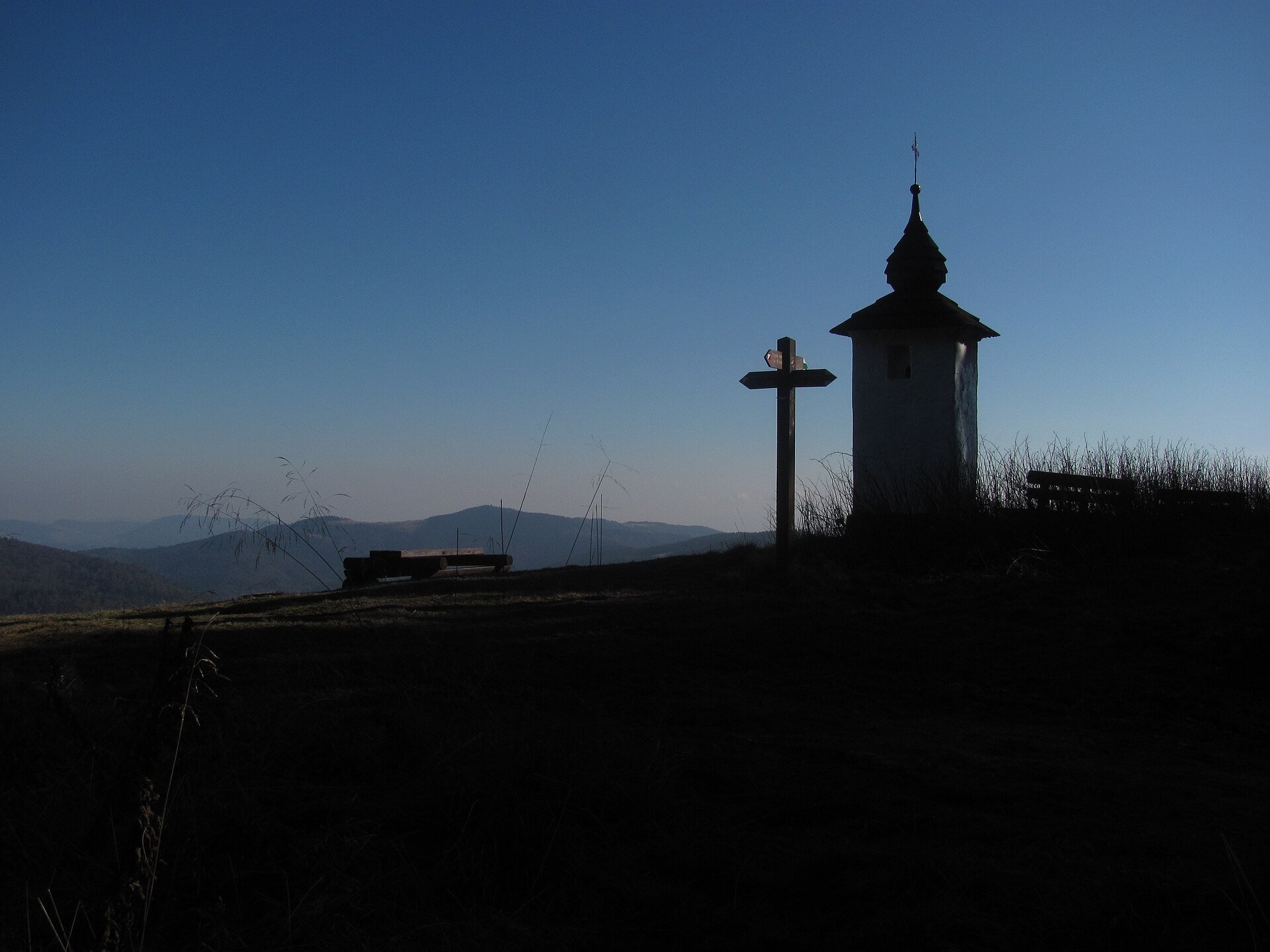
The glade has been grazed for a long time. Its most famous master was Tomasz Chlipała from Szczawa, nicknamed Bulanda (c. 1830–1912/1913), the best-known head shepherd of the Gorce, whom the writer Kazimierz Sosnowski called "the Sabała of the Gorce". For more than 50 years he grazed sheep and oxen here — up to 800 sheep — and he was also famous as a folk healer: he set bones and treated people and animals, and visitors came even from Kraków and Warsaw. With the money given for his cures Bulanda funded two chapels. One of them, Bulanda's Chapel of 1904 in the upper corner of the glade, is the oldest sacred monument in the park; in 1996 park staff restored it together with Chlipała's heir.
Many tales surround the chapel: in one, Bulanda saw in a dream the souls of sinners wandering the mountains with nowhere to kneel before a holy place; in another, his late daughter asked him in a dream to build it; in a third, an outlaws' treasure or his magic book lies buried beneath it, guarded by vipers. At the western edge of the glade is the fissure cave Zbójnicka Jama, said to have been an outlaws' hideout. Since grazing stopped, the glade has been overgrown by bilberry, raspberry and scattered trees, so the park mows it every year. Viviparous alpine meadow-grass, mountain avens and Carpathian soldanella grow here, and water pipit, hazel grouse and even capercaillie occur.
What to see and do
- Bulanda's Chapel with benches in the upper corner of the glade.
- The panorama of the Sącz and Island Beskids and neighbouring Kudłoń and Gorc with their glades; a board nearby names the peaks.
- Zbójnicka Jama — about 15 minutes by the yellow path from the chapel through the forest (the second-longest cave of the Gorce; do not enter without equipment).
- The park's nature trail, which runs across the glade.
How to get there
The easiest approach is from Turbacz: from the Turbacz hut take the red trail across Hala Długa to Polana Gabrowska and then the green one via Trzy Kopce — about 1 h 10 min according to the mapa-turystyczna.pl trail map. This green trail, Grywałd – Polana Gabrowska, crosses the glade and continues east to Przysłop and Gorc: from the glade to Przysłop Dolny it is 1 h 10 min. From Lubomierz-Rzeki you can climb up the Kamienica valley past Papieżówka: the descent from here to Papieżówka takes about 2 h, the climb longer. The red Main Trail of Beskidy passes a kilometre away, via Polana Gabrowska. All approaches are moderate mountain paths; the walk from Turbacz suits families who already hike.
Season and safety
The glade lies in the Gorce National Park: as of October 2026 a ticket costs 10 zł (reduced 5 zł) per day, sold at eparki.pl and at sales points. The park recommends walking from dawn to dusk, drones are banned without the director's permission, and dogs are allowed only on designated trails. The flat summit of Jaworzyna is boggy in places, and in fog it is easy to lose the path on the glade; stay on the trails so as not to trample the meadows. The GOPR number is 985 or 601 100 300.
Nearby
West along the ridge lies Hala Długa below Turbacz with its shepherd's hut and cultural grazing, and to the south and east you can see the glades of Kudłoń and Gorc.
Official website: gpn.gov.pl
Photos: Jakub Hałun, CC BY-SA 4.0, Wikimedia Commons; Jerzy Opioła, CC BY-SA 3.0, Wikimedia Commons; Wojtek J.Gubała, CC BY-SA 3.0 pl, Wikimedia Commons.
Getting there from Ukraine
Border crossings
- Krakovets – Korczowa — road, 24/7
- Shehyni – Medyka — road, 24/7 Pedestrian crossing is not confirmed by the Ukrainian border service — check dpsu.gov.ua before the trip.
- Smilnytsia – Krościenko — road, 24/7
- Hrushiv – Budomierz — road, 24/7
- Mostyska – Przemyśl (rail) — rail, 24/7
By car
Lviv – Szczawnica ≈384 km, ≈5 h 25 min without queues: M-10 → Krakovets – Korczowa → A4 to Brzesko (≈198 km) → DK75 to Nowy Sącz → DW969 via Stary Sącz and Łącko to Krościenko nad Dunajcem → Szczawnica. ≈306 km, ≈4 h from the border.
Checked 23.10.2026; border crossing hours and timetables change — check before you travel.
Location on the map
Water and shelter nearby
- Miłości Spring2 km · Not verified · 1 227 m
- Hut below Czerwony Groń2.8 km · Not verified · 1 062 m
Comments
Trails nearby
All trails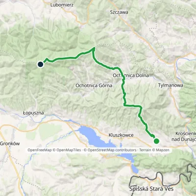 HardMulti-dayMarkedGrywałd Polana GabrowskaElevation profile506–1 288 m29.5 kmascent 1 624 m≈ 10.5 h walkingunder 1 km from Polana Jaworzyna Kamienicka
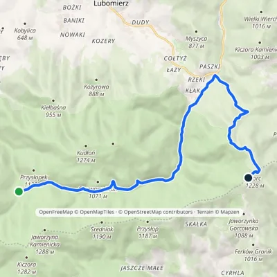 ModerateOne-dayMarkedPrzełęcz Borek Hale Gorcowskievia RzekiElevation profile685–1 228 m14.8 kmascent 568 m≈ 5 h walking1.1 km from Polana Jaworzyna Kamienicka
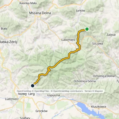 HardMulti-dayMarkedMały Krzystanów KowaniecElevation profile656–1 289 m28.7 kmascent 1 194 m≈ 9.5 h walking1.3 km from Polana Jaworzyna Kamienicka
Nearby attractions
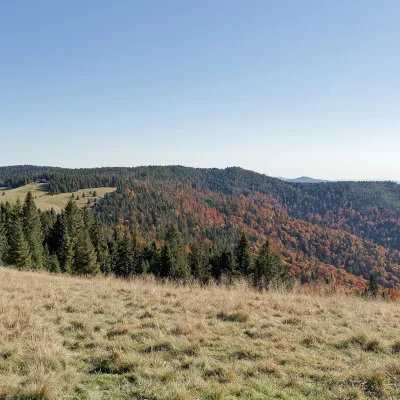 Mountain meadowHala Długa below Turbaczaltitude 1 202 m2.1 km from Polana Jaworzyna KamienickaHala Długa is a large mountain glade on the ridge of Turbacz, the highest peak of the Gorce (1,310 m).
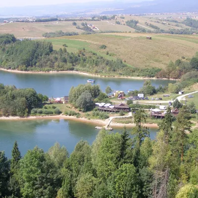 LakeLake Czorsztyn15 km from Polana Jaworzyna KamienickaLake Czorsztyn (Jezioro Czorsztyńskie) is a reservoir on the Dunajec river in the Nowy Targ Basin, between the Pieniny and the Gorce.
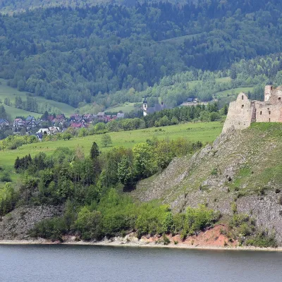 CastleCzorsztyn Castle ruins17 km from Polana Jaworzyna KamienickaThe ruins of Czorsztyn Castle rise on a limestone rock above Lake Czorsztyn, on the border between Podhale and the Pieniny mountains.
Craft nearby
All craft places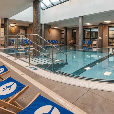 Water parks & thermal poolsTermy Gorce thermal baths9.8 km from Polana Jaworzyna KamienickaTermy Gorce is a small, cosy thermal complex in the village of Poręba Wielka, in the municipality of Niedźwiedź, at the foot of the Gorce Mountains.
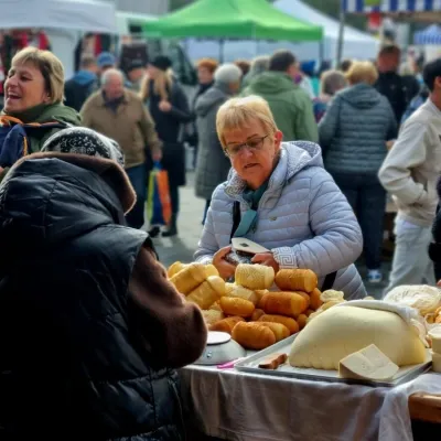 Markets & fairsNowy Targ Fair (Nowa Targowica)11 km from Polana Jaworzyna KamienickaThe fair in Nowy Targ is the largest and oldest market in Podhale. On Thursdays and Saturdays highlanders from the surrounding villages, Slovaks from across the border...
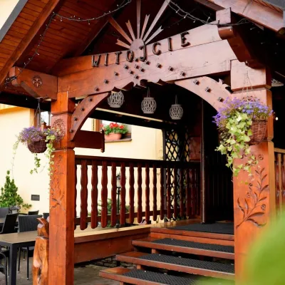 Koliby & Hutsul cuisineKarcma u Borzanka, Nowy Targ: highland food in an 18th-century inn11 km from Polana Jaworzyna KamienickaKarcma u Borzanka is a highland tavern in the oldest coaching inn of Nowy Targ, the capital of Podhale.
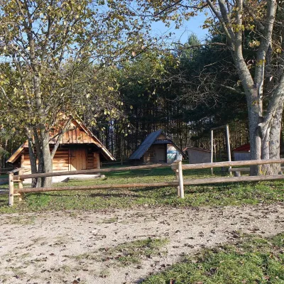 Cheese dairies & pasturesMajerz Meadow Shepherd's Hut, Pieniny National Park: oscypek and żętyca18 km from Polana Jaworzyna KamienickaMajerz meadow (hala) sits on a 689 m hill between Czorsztyn-Nadzamcze and the village of Hałuszowa, above Lake Czorsztyn.
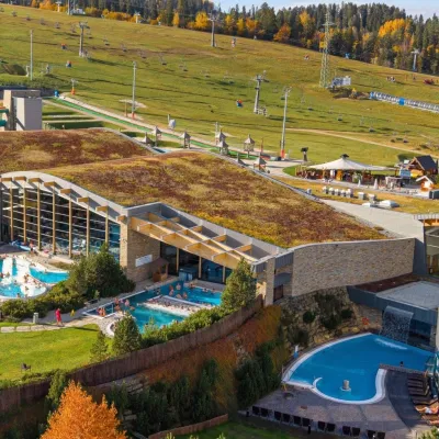 Water parks & thermal poolsTerma Bania19 km from Polana Jaworzyna KamienickaTerma Bania is a large thermal water park in the village of Białka Tatrzańska, at the foot of the Kotelnica ski slope.
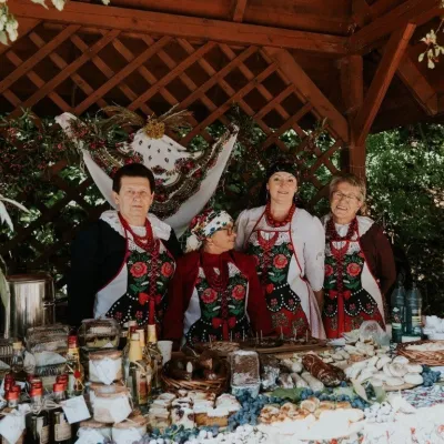 Markets & fairsFruit Harvest Festival in Łącko: village stands, fruit and folklore19 km from Polana Jaworzyna KamienickaŁącko, in the Dunajec valley between Stary Sącz and the Pieniny, is one of Poland's best-known fruit-growing areas: the slopes around are covered with apple, pear and...
