Lubomierz
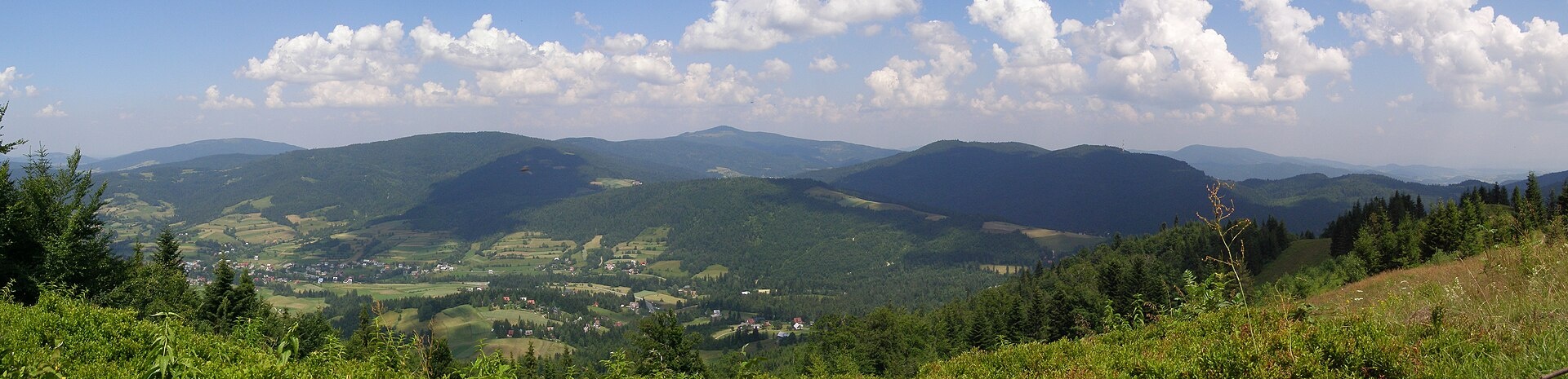
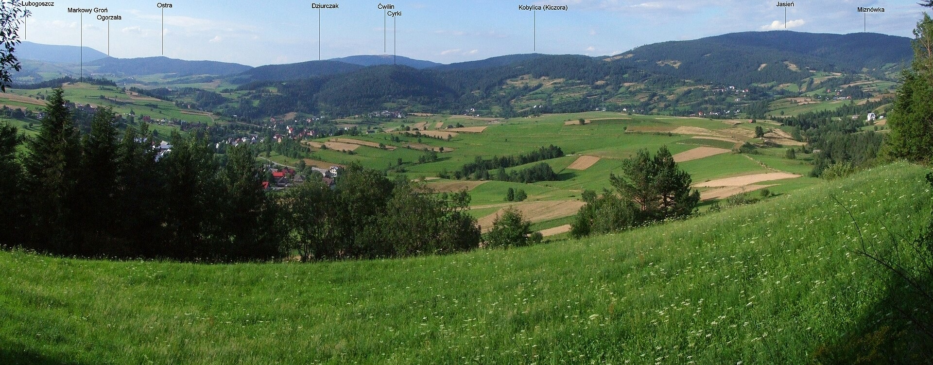
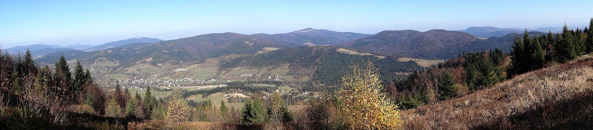
Photos: Andrzej Otrębski, CC BY-SA 4.0 (Wikimedia Commons); Jerzy Opioła, CC BY-SA 4.0 (Wikimedia Commons); Jerzy Opioła, CC BY-SA 3.0 (Wikimedia Commons)
Lubomierz is a village in the administrative district of Gmina Mszana Dolna, Limanowa County, Lesser Poland Voivodeship, Poland. It is located in the picturesque valley of the Mszanka River, straddling two mountain regions: the right bank belongs to the Beskid Wyspowy, while the left bank is part of the Gorce. The area is surrounded by wooded hills and the peaks of the Gorce mountains, making it an attractive spot for nature lovers.
Archaeological excavations show that the area of Lubomierz was inhabited by a tribe of hunters as early as 3500–1700 BCE. In the 14th and 15th centuries, Wallachian shepherds settled here, shaping the landscape. The village was officially founded in 1600 by Sebastian Lubomirski. In the 18th century, a glassworks operated here, and during the First and Second World Wars, the area saw military action.
Lubomierz is known for its mountain culture — the inhabitants are part of the Zagórzanie group, and the local dialect and wooden architecture have been preserved. The village is a popular base for tourism: numerous trails lead from here into the Gorce and Beskid Wyspowy, and the "Ski Lubomierz" ski station operates on the northern slope of Jaworzynka. Picturesque meadows are nearby, and the region's only thermal complex, Terma Gorce, is located in the vicinity.
Visitors can enjoy a variety of hiking and cycling routes, such as "Mały Krzystanów – Kowaniec", "Przełęcz Borek – Rzeki – Hale Gorcowskie", and "Dolina Kamienicy – Kudłoń". Nature lovers can visit sites like Hala Długa under Turbacz, Polana Gorc Kamienicki, Polana Jaworzyna Kamienicka, and the Gorce National Park nature exhibition in Poręba Wielka. Peaks such as Mogielica, Cwilin, Śnieżnica, and Kudłoń are accessible from the area.
Getting there from Ukraine
Lviv – Szczawnica ≈384 km, ≈5 h 25 min without queues: M-10 → Krakovets – Korczowa → A4 to Brzesko (≈198 km) → DK75 to Nowy Sącz → DW969 via Stary Sącz and Łącko to Krościenko nad Dunajcem → Szczawnica. ≈306 km, ≈4 h from the border.
Sources: Wikipedia, Wikidata, OpenStreetMap, Karpaty.rocks data. More on Wikipedia
Trails nearby
All trails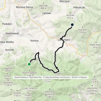 ModerateTwo-dayMarkedTurbaczyk Lubomierzvia Konina, KudłońElevation profile542–1 274 m18.3 kmascent 990 m≈ 6.5 h walkingunder 1 km from the centre
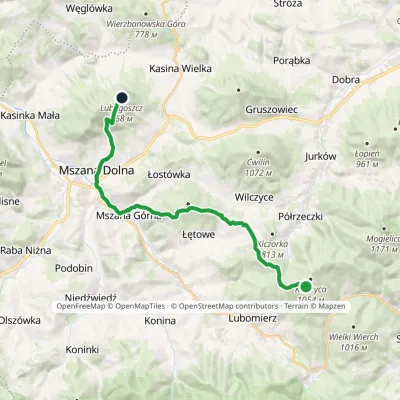 ModerateTwo-dayMarkedJasień LubogoszczElevation profile398–1 059 m19.9 kmascent 740 m≈ 6.5 h walking2.4 km from the centre
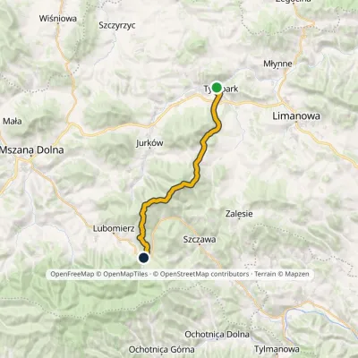 HardTwo-dayMarkedTymbark Lubomierz RzekiElevation profile392–1 171 m22.5 kmascent 1 107 m≈ 8 h walking2.4 km from the centre
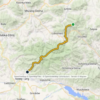 HardMulti-dayMarkedMały Krzystanów KowaniecElevation profile656–1 289 m28.7 kmascent 1 194 m≈ 9.5 h walking2.4 km from the centre
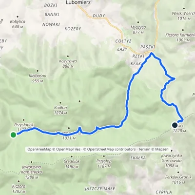 ModerateOne-dayMarkedPrzełęcz Borek Hale Gorcowskievia RzekiElevation profile685–1 228 m14.8 kmascent 568 m≈ 5 h walking4 km from the centre
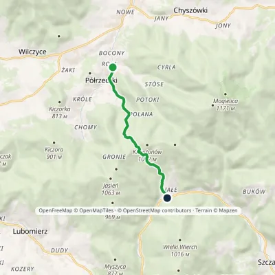 EasyOne-dayMarkedPółrzeczki SzczawaElevation profile578–984 m5.7 kmascent 405 m≈ 2 h walking4.5 km from the centre
Peaks nearby
All peaks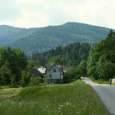 PeakJasieńPółrzeczkialtitude 1 063 m3.2 km from the centreJasień is a summit about 1,063 m high in the Island Beskids (Beskid Wyspowy) in southern Poland, in Limanowa County of the Lesser Poland Voivodeship.
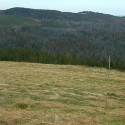 PeakKudłońLubomierzaltitude 1 274 m4.6 km from the centreKudłoń is a 1,274 m summit, the fourth-highest in the Gorce. It lies north-east of Turbacz on the ridge that links Turbacz with the Island Beskids via the Przysłop...
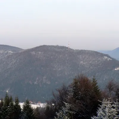 PeakKiczora KamienickaSzczawaaltitude 1 003 m5 km from the centreKiczora Kamienicka (also simply Kiczora) is a summit 1,003 m high (other sources give 1,007 m) on the border of the Island Beskids and the Gorce in southern Poland.
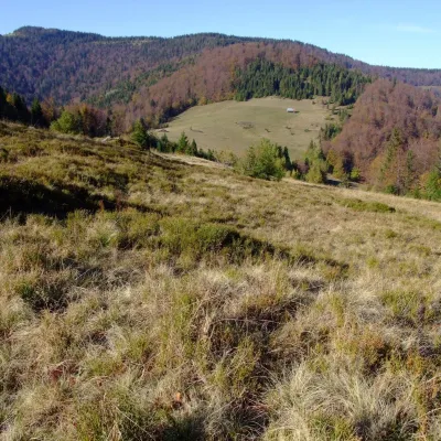 PeakPrzysłop (Gorce)Ochotnica Górnaaltitude 1 187 m7.1 km from the centrePrzysłop is a 1,187 m summit in the Gorce mountains of southern Poland, in the Gorc range between Jaworzyna Kamienicka (1,288 m) and Gorc (1,228 m).
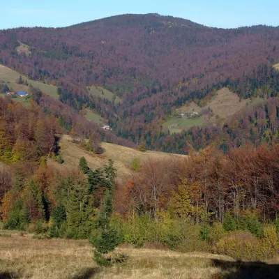 PeakGorcZasadnealtitude 1 228 m7.2 km from the centreGorc (1,228 m) is a summit in the eastern part of the main ridge of the Gorce Mountains in southern Lesser Poland.
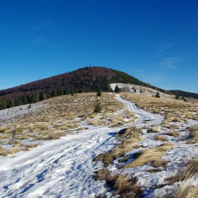 PeakMogielicaChyszówkialtitude 1 171 m7.9 km from the centreMogielica is the highest summit of the Island Beskids (Beskid Wyspowy), 1,171 m high, and one of the mountains of the Crown of Polish Mountains.
What to visit
All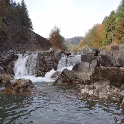 WaterfallSpad Waterfall, SzczawaSzczawa6.2 km from the centreSpad is a natural waterfall on the Kamienica Gorczańska, a left tributary of the Dunajec, in the village of Szczawa on the border of the Gorce and the Island Beskids ...
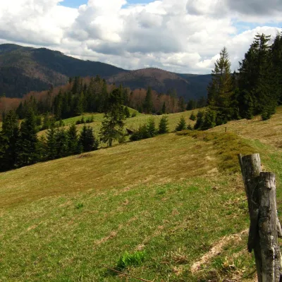 Mountain meadowTurbaczyk GladeKoninaaltitude 1 025 m6.3 km from the centreTurbaczyk is a summit meadow on the mountain of the same name in the Gorce, on the northern side of the Turbacz massif.
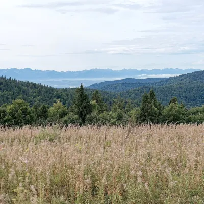 Mountain meadowGorc Kamienicki GladeZasadnealtitude 1 150 m6.6 km from the centrePolana Gorc Kamienicki is a mountain glade on the northern ridge of Gorc (1,228 m) in the eastern Gorce, at 1,120–1,150 m.
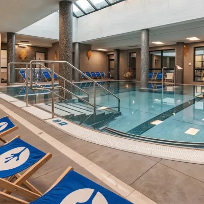 Water parks & thermal poolsTermy Gorce thermal bathsNiedźwiedź8.3 km from the centreTermy Gorce is a small, cosy thermal complex in the village of Poręba Wielka, in the municipality of Niedźwiedź, at the foot of the Gorce Mountains.
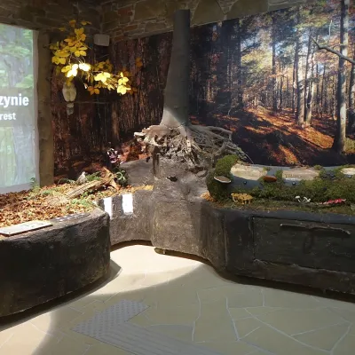 MuseumGorce National Park Nature Exhibition, Poręba WielkaPoręba Wielka8.7 km from the centreThe Gorce National Park Nature Exhibition (Wystawa Przyrodnicza w Ośrodku Edukacyjnym GPN) is the main attraction of the park's Education Centre in Poręba Wielka, in...
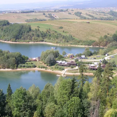 LakeLake CzorsztynFalsztyn20 km from the centreLake Czorsztyn (Jezioro Czorsztyńskie) is a reservoir on the Dunajec river in the Nowy Targ Basin, between the Pieniny and the Gorce.
Craft nearby
All craft places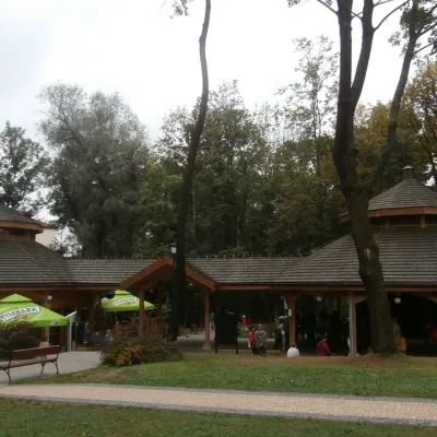 Water parks & thermal poolsRabka-Zdrój spa: brine graduation tower, pump rooms, treatmentsRabka-Zdrój17 km from the centreRabka-Zdrój is a spa in the Raba valley between the Gorce, the Beskid Wyspowy and the Beskid Makowski, halfway from Kraków to Zakopane.
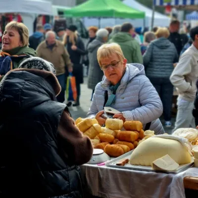 Markets & fairsNowy Targ Fair (Nowa Targowica)Nowy Targ17 km from the centreThe fair in Nowy Targ is the largest and oldest market in Podhale. On Thursdays and Saturdays highlanders from the surrounding villages, Slovaks from across the border...
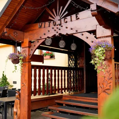 Koliby & Hutsul cuisineKarcma u Borzanka, Nowy Targ: highland food in an 18th-century innNowy Targ18 km from the centreKarcma u Borzanka is a highland tavern in the oldest coaching inn of Nowy Targ, the capital of Podhale.
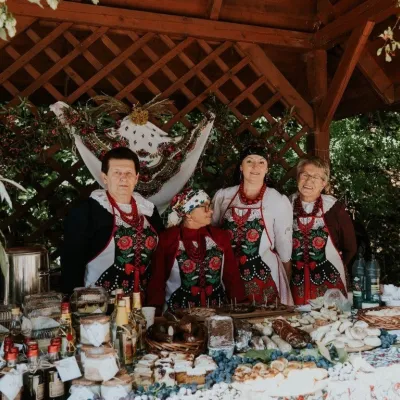 Markets & fairsFruit Harvest Festival in Łącko: village stands, fruit and folkloreŁącko18 km from the centreŁącko, in the Dunajec valley between Stary Sącz and the Pieniny, is one of Poland's best-known fruit-growing areas: the slopes around are covered with apple, pear and...
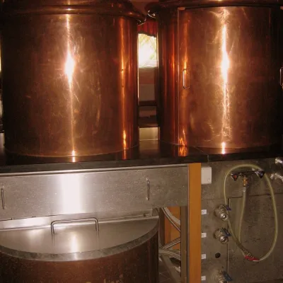 Craft shopsCistercian monastery shop, Szczyrzyc: abbey cheese, milk and Gryf beerSzczyrzyc19 km from the centreIts heart is the Cistercian abbey: the monks arrived in the first half of the 13th century and, according to the monastery itself, have lived here without interruption...
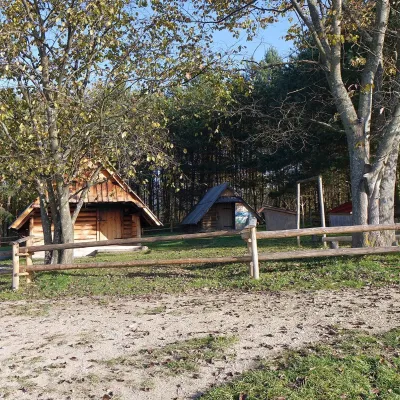 Cheese dairies & pasturesMajerz Meadow Shepherd's Hut, Pieniny National Park: oscypek and żętycaKrośnica22 km from the centreMajerz meadow (hala) sits on a 689 m hill between Czorsztyn-Nadzamcze and the village of Hałuszowa, above Lake Czorsztyn.
Spas and thermal pools nearby
Water parks & thermal poolsTermy Gorce thermal bathsNiedźwiedź8.3 km from the centreTermy Gorce is a small, cosy thermal complex in the village of Poręba Wielka, in the municipality of Niedźwiedź, at the foot of the Gorce Mountains.Water parks & thermal poolsRabka-Zdrój spa: brine graduation tower, pump rooms, treatmentsRabka-Zdrój17 km from the centreRabka-Zdrój is a spa in the Raba valley between the Gorce, the Beskid Wyspowy and the Beskid Makowski, halfway from Kraków to Zakopane.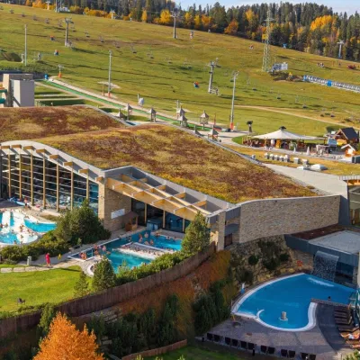 Water parks & thermal poolsTerma BaniaBiałka Tatrzańska26 km from the centreTerma Bania is a large thermal water park in the village of Białka Tatrzańska, at the foot of the Kotelnica ski slope.
Huts, shelters and springs nearby
Getting there from Ukraine
Border crossings
- Krakovets – Korczowa — road, 24/7
- Shehyni – Medyka — road, 24/7 Pedestrian crossing is not confirmed by the Ukrainian border service — check dpsu.gov.ua before the trip.
- Smilnytsia – Krościenko — road, 24/7
- Hrushiv – Budomierz — road, 24/7
- Mostyska – Przemyśl (rail) — rail, 24/7
By car
Lviv – Szczawnica ≈384 km, ≈5 h 25 min without queues: M-10 → Krakovets – Korczowa → A4 to Brzesko (≈198 km) → DK75 to Nowy Sącz → DW969 via Stary Sącz and Łącko to Krościenko nad Dunajcem → Szczawnica. ≈306 km, ≈4 h from the border.
Checked 23.10.2026; border crossing hours and timetables change — check before you travel.
