Mogielica
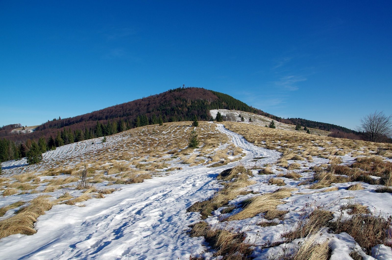
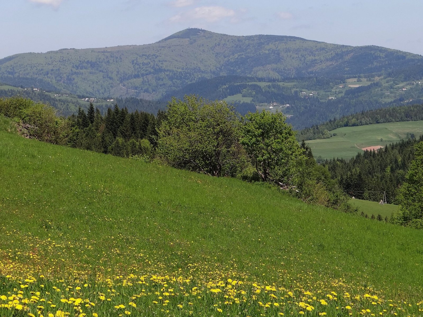
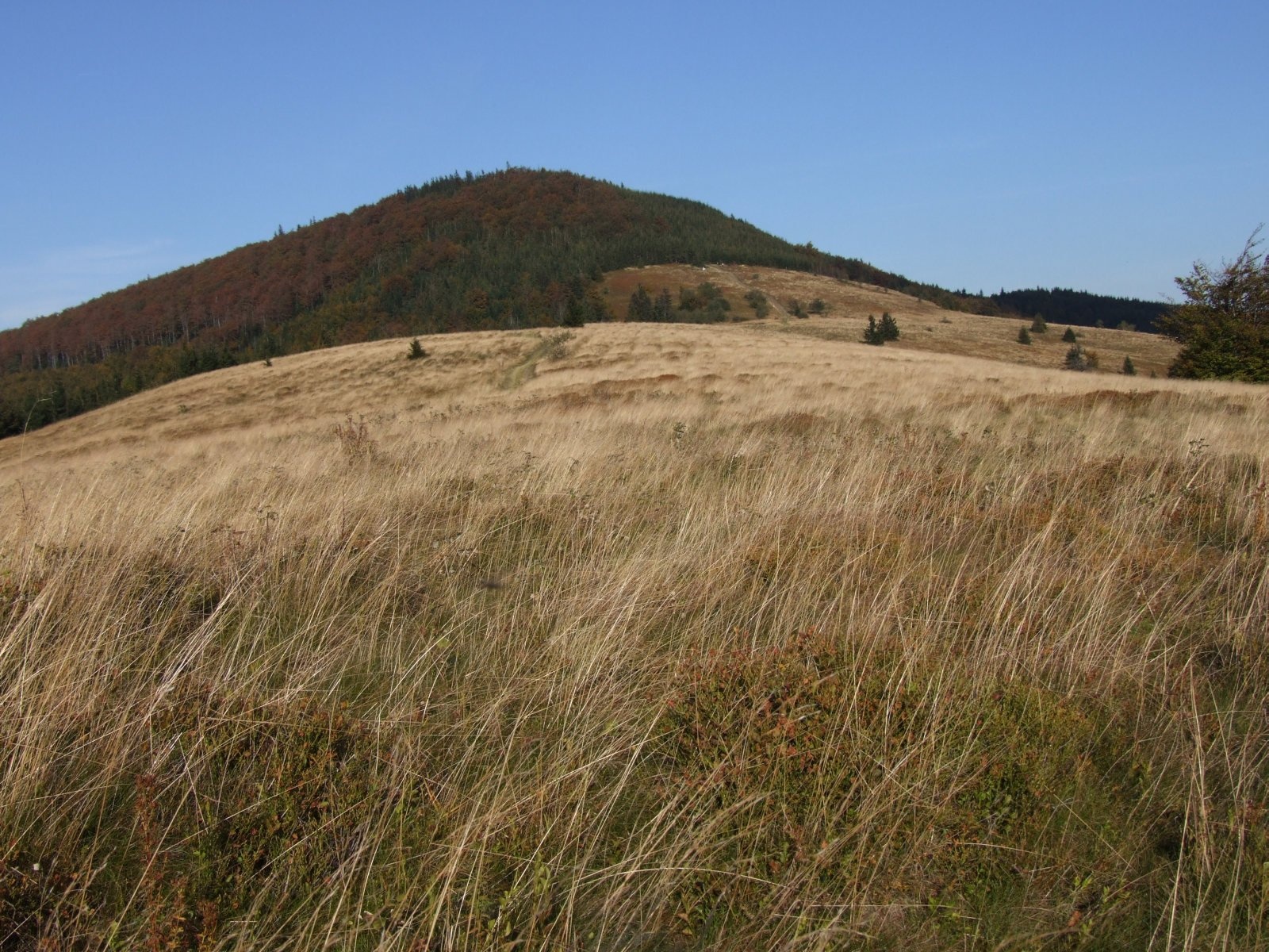
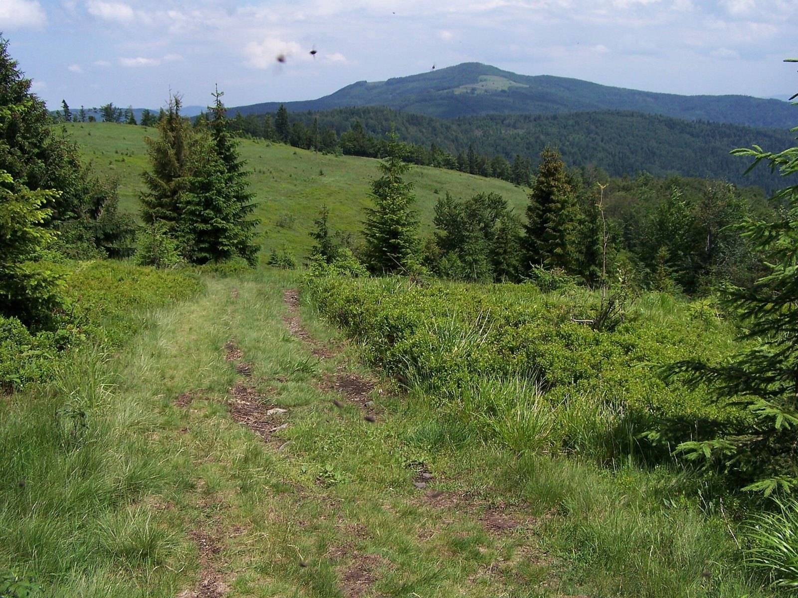
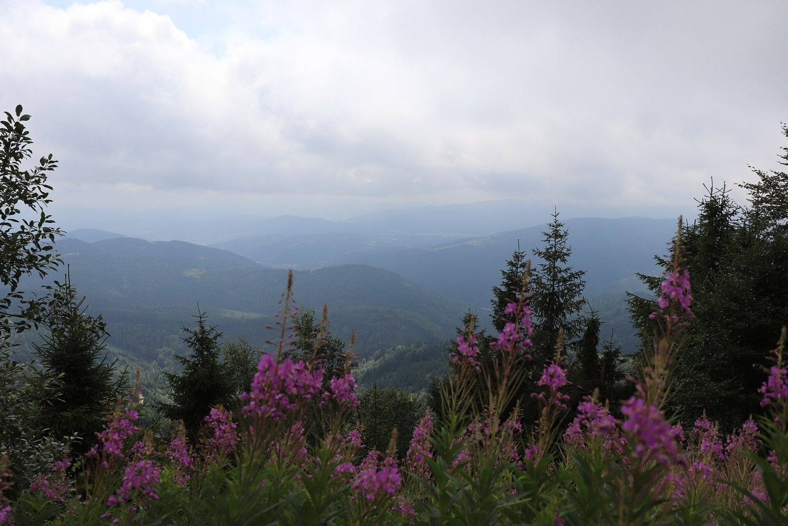
Mogielica is the highest summit of the Island Beskids (Beskid Wyspowy), 1,171 m high, and one of the mountains of the Crown of Polish Mountains. Because of its characteristic shape, local people call the top of the massif Kopa; older literature sometimes uses the incorrect name "Mogielnica". The massif rises over the land of three villages — Słopnice, Półrzeczki and Chyszówki — and its relative height above the valleys at its foot reaches 760 m. Unlike most "island" mountains, Mogielica sends long side ridges in several directions: the longest runs south via Krzystonów and Jasień to Przysłop Pass, another via Zapowiednica to Słopnicka Pass. Its streams feed the Słopniczanka, Łososina and Kamienica Gorczańska rivers.
How to get there / routes
Mogielica is an important trail junction. According to Polish Wikipedia:
- the blue trail from Jurków — about 2 h 45 min (2 h down); it continues via the Stumorgowa meadow to Szczawa;
- the green Leopold Węgrzynowicz trail — from Ostra Pass via Cichoń and Słopnicka Pass (about 3 h 15 min), continuing via Rydza-Śmigłego Pass and Łopień to Dobra;
- the yellow trail from Tymbark along the northern foot of Łopień and via Zaświercze — about 5 h, continuing via Stumorgi, Krzystonów and Jasień to Przysłop Pass;
- the Papal Trail from Limanowa via Skiełek, Ostra, Cichoń and Słopnicka Pass to Jurków.
The Main Trail of the Island Beskids also crosses the summit. The nearest starting points are Jurków (about 4.5 km) and Wilczyce.
What you can see from the summit
The massif is forested, so an observation tower stands on the top. The old wooden triangulation tower, climbed by three long unprotected ladders, collapsed in 1980; a new 20 m tower opened in 2008, was closed in autumn 2020 because of its poor condition, and a new one was built in 2022. The summit and the meadows give views of the Island and Sącz Beskids, the Pieniny, the Gorce and the Tatras. As early as the 15th century a survey of royal estates noted that Mogielica could be seen from Kraków.
Nature and history
The massif is covered with fir-spruce forest and Carpathian beech wood, and the summit with stunted spruce — the only fragment of the upper montane forest belt in the Island Beskids. Badger, edible dormouse, otter, red deer, roe deer, wild boar and lynx live here, and wolves appear from time to time; surveys since 2001 have confirmed 105 breeding bird species, including capercaillie, lesser spotted eagle, black grouse, Ural owl, Tengmalm's and pygmy owls, eagle owl and white-backed and three-toed woodpeckers. For most of them Mogielica is the only refuge in the whole range. On 25 February 2011 the Mogielica nature reserve (about 50 ha) was created on the summit and northern slopes to protect the capercaillie and its habitat. On the northern ridge stands a rock pulpit called Zbójnicki Stół.
The largest meadow of the massif is Stumorgi (Hala Stumorgowa) on the south-western ridge; the name comes from the old unit of area, the morgue, though the meadow covered more than 50 ha. During the Second World War Allied aircraft dropped supplies for the partisans here, and on 28 January 1944 a German He 111 bomber with a crew of five crashed on the northern slopes. A few dozen metres south-east of the summit stands a metal cross dedicated to John Paul II, who walked these paths several times before becoming pope.
Safety, season and rules
Mogielica is accessible all year, and snow cover lasts very long here — a 23 km cross-country ski trail, the highest and longest in Lesser Poland, circles the mountain. In the Mogielica reserve keep to the marked trails and do not disturb the birds. In fog it is easy to go astray on the forested ridges, and do not climb the tower in a thunderstorm. In an emergency call GOPR mountain rescue on 985 or +48 601 100 300, or 112.
Interesting facts
- According to legend, Mogielica is the wife of the giant Łopień, separated from him by Rydza-Śmigłego Pass.
- In the 18th century the well-known Beskid outlaw Józef Baczyński hid on the mountain — the source of legends about treasure near Zbójnicki Stół.
- As early as 1934 schoolchildren from Słopnice celebrated "Forest Day" on the summit.
Photos: Jakub Hałun, CC BY-SA 4.0; Jerzy Opioła, CC BY-SA 4.0; Jerzy Opioła, CC BY-SA 3.0; Jerzy Opioła, CC BY-SA 3.0; Andrzej Otrębski, CC BY-SA 4.0; Jerzy Opioła, CC BY-SA 3.0; Wiktor Baron | www.baronphotography.eu, CC BY-SA 4.0 — Wikimedia Commons.
Getting there from Ukraine
Border crossings
- Krakovets – Korczowa — road, 24/7
- Shehyni – Medyka — road, 24/7 Pedestrian crossing is not confirmed by the Ukrainian border service — check dpsu.gov.ua before the trip.
- Smilnytsia – Krościenko — road, 24/7
- Hrushiv – Budomierz — road, 24/7
- Mostyska – Przemyśl (rail) — rail, 24/7
By car
Lviv – Szczawnica ≈384 km, ≈5 h 25 min without queues: M-10 → Krakovets – Korczowa → A4 to Brzesko (≈198 km) → DK75 to Nowy Sącz → DW969 via Stary Sącz and Łącko to Krościenko nad Dunajcem → Szczawnica. ≈306 km, ≈4 h from the border.
Checked 23.10.2026; border crossing hours and timetables change — check before you travel.
Location on the map
Water and shelter nearby
- Spring below Kopa (north-east slope), 1 047 m350 m · Not verified · 1 047 m
- Hut below Groń1.5 km · Not verified · 806 m
Comments
Trails nearby
All trails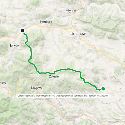 HardMulti-dayMarkedLeopold Węgrzynowicz TrailElevation profile440–1 171 m30 kmascent 1 468 m≈ 10.5 h walkingunder 1 km from Mogielica
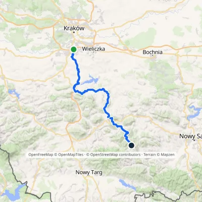 HardMulti-dayMarkedSwoszowice SzczawaElevation profile228–1 171 m83.8 kmascent 3 385 munder 1 km from Mogielica
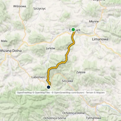 HardTwo-dayMarkedTymbark Lubomierz RzekiElevation profile392–1 171 m22.5 kmascent 1 107 m≈ 8 h walkingunder 1 km from Mogielica
Nearby attractions
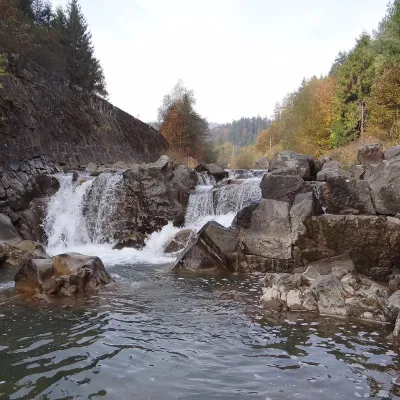 WaterfallSpad Waterfall, SzczawaSzczawa3.3 km from MogielicaSpad is a natural waterfall on the Kamienica Gorczańska, a left tributary of the Dunajec, in the village of Szczawa on the border of the Gorce and the Island Beskids ...
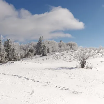 PeakĆwilinGruszowiecaltitude 1 072 m7.2 km from MogielicaĆwilin is a 1,072 m summit, the second-highest mountain of the Island Beskids. Its name was given in the 14th century by German settlers in Tymbark and Jurków: it...
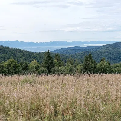 Mountain meadowGorc Kamienicki GladeZasadnealtitude 1 150 m9.6 km from MogielicaPolana Gorc Kamienicki is a mountain glade on the northern ridge of Gorc (1,228 m) in the eastern Gorce, at 1,120–1,150 m.
Craft nearby
All craft places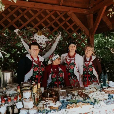 Markets & fairsFruit Harvest Festival in Łącko: village stands, fruit and folkloreŁącko15 km from MogielicaŁącko, in the Dunajec valley between Stary Sącz and the Pieniny, is one of Poland's best-known fruit-growing areas: the slopes around are covered with apple, pear and...
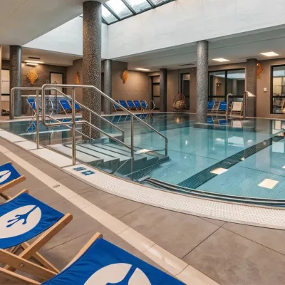 Water parks & thermal poolsTermy Gorce thermal bathsNiedźwiedź15 km from MogielicaTermy Gorce is a small, cosy thermal complex in the village of Poręba Wielka, in the municipality of Niedźwiedź, at the foot of the Gorce Mountains.
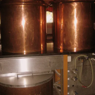 Craft shopsCistercian monastery shop, Szczyrzyc: abbey cheese, milk and Gryf beerSzczyrzyc16 km from MogielicaIts heart is the Cistercian abbey: the monks arrived in the first half of the 13th century and, according to the monastery itself, have lived here without interruption...
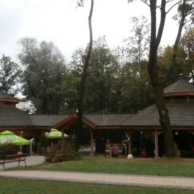 Water parks & thermal poolsRabka-Zdrój spa: brine graduation tower, pump rooms, treatmentsRabka-Zdrój24 km from MogielicaRabka-Zdrój is a spa in the Raba valley between the Gorce, the Beskid Wyspowy and the Beskid Makowski, halfway from Kraków to Zakopane.
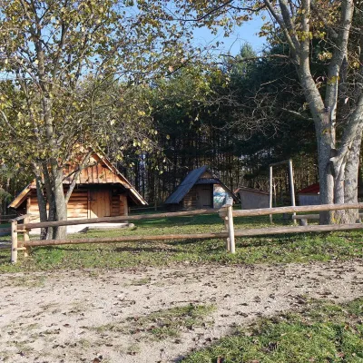 Cheese dairies & pasturesMajerz Meadow Shepherd's Hut, Pieniny National Park: oscypek and żętycaKrośnica25 km from MogielicaMajerz meadow (hala) sits on a 689 m hill between Czorsztyn-Nadzamcze and the village of Hałuszowa, above Lake Czorsztyn.
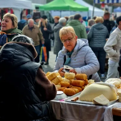 Markets & fairsNowy Targ Fair (Nowa Targowica)Nowy Targ25 km from MogielicaThe fair in Nowy Targ is the largest and oldest market in Podhale. On Thursdays and Saturdays highlanders from the surrounding villages, Slovaks from across the border...
