Swoszowice – Szczawa
Trail map
Route, springs and shelters: © OpenStreetMap contributors (ODbL) · elevation: Copernicus DEM © DLR e.V., © Airbus DS · Data & licences
About the trail
Route Swoszowice – Szczawa. Has blue marking (regional route, PTTK). Waymarking data: OpenStreetMap (© OpenStreetMap contributors, ODbL).
Officially marked regional tourist route. Marking is blue, sign — horizontal stripe on a white background. Marked and maintained by: PTTK. Length of the route — 83.8 km. Location: mountain range — Ostry Beskid, Poland.
Attention: part of the route has not yet been mapped in OpenStreetMap, so the line on the map has gaps. On the ground, orient yourself by the marking signs.
At a glance
A multi-day route of 83.8 km with 3,385 m of ascent from Swoszowice to Szczawa. Estimated time: 4 days of 6–7 h of walking (about 26.5 h in total, not counting stops). Difficulty: hard. Waymarking: blue.
Route stages
- 0–66 kmGentle ups and downs at 220–1,070 m, past Ciecień, Goła Góra, Dzielec, Śnieżnica
- 66–70 kmDescent of 540 m (down to 527 m)
- 70–75 kmClimb of 620 m to Mogielica (1,171 m)
- 75–84 kmDescent of 630 m to Szczawa
Steepest kilometre: km 64–65, a climb of 310 m (≈31%).
Water and overnight stays
Springs near the trail: at km 15, 75 and 84. There are no springs between km 15 and 75 — carry at least 10.5 l of water.
A possible split into days:
- Day 1: km 0–23, ≈6.5 h — overnight: no shelter nearby on the map, bring a tent
- Day 2: km 23–45, ≈6.5 h — overnight: no shelter nearby on the map, bring a tent
- Day 3: km 45–64, ≈6.5 h — overnight: no shelter nearby on the map, bring a tent
- Day 4: km 64–84, ≈6.5 h — finish
When to go
Best time: May to October. In winter deep snow is possible, so experience and winter gear are needed.
Getting there
Start: Swoszowice. This is a one-way route: the finish is 50 km from the start in a straight line, so plan your way back in advance.
FAQ
- How long does the route take?
- Estimated time: 4 days of 6–7 h of walking (about 26.5 h in total, not counting stops).
- Is there water on the route?
- Springs near the trail: at km 15, 75 and 84. There are no springs between km 15 and 75 — carry at least 10.5 l of water.
Water and shelter on the route
- Błogosławionej Anieli Salawy Springkm 14.7 from the start · 210 m off the path · Not verified · 315 m
- Spring below Kopa (north-east slope), 1 047 mkm 76.3 from the start · 120 m off the path · Not verified · 1 047 m
- Krystyna Wellkm 84.8 from the start · Not verified · 517 m
Comments
Trails nearby
All trails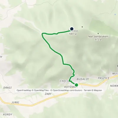 EasyOne-dayMarkedGruszowiec ŚnieżnicaElevation profile677–1 007 m3.3 kmascent 337 m≈ 1.5 h walking
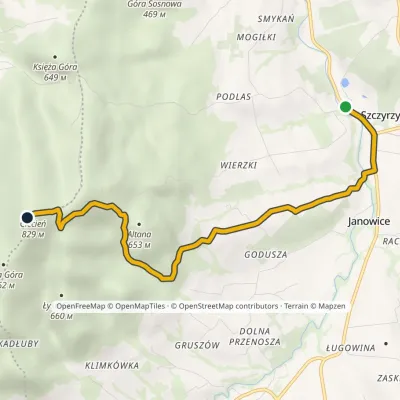 EasyOne-dayMarkedCistercian TrailElevation profile331–837 m5.7 kmascent 509 m≈ 2.5 h walking
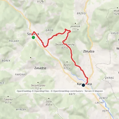 EasyOne-dayMarkedSzczawa Kamienicavia Zbludzkie WierchyElevation profile445–812 m9.3 kmascent 329 m≈ 3 h walking
Craft nearby
All craft places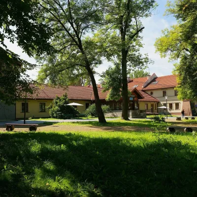 Water parks & thermal poolsSwoszowice spa: sulphide baths in KrakówKrakówunder 1 km from the trailSwoszowice is a spa within Kraków, on the city's southern edge by the Wilga river. Its operator stresses that it is the only spa in Poland, and one of few in Europe,...
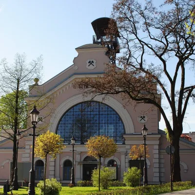 Water parks & thermal poolsWieliczka Salt Mine Health Resort: treatment undergroundWieliczka8.4 km from the trailThe Wieliczka Salt Mine Health Resort (Uzdrowisko Kopalnia Soli „Wieliczka”) is an unusual treatment centre: its wards and halls lie 135 m underground, on the third...
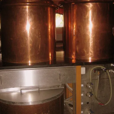 Craft shopsCistercian monastery shop, Szczyrzyc: abbey cheese, milk and Gryf beerSzczyrzyc29 km from the trailIts heart is the Cistercian abbey: the monks arrived in the first half of the 13th century and, according to the monastery itself, have lived here without interruption...
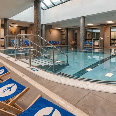 Water parks & thermal poolsTermy Gorce thermal bathsNiedźwiedź43 km from the trailTermy Gorce is a small, cosy thermal complex in the village of Poręba Wielka, in the municipality of Niedźwiedź, at the foot of the Gorce Mountains.
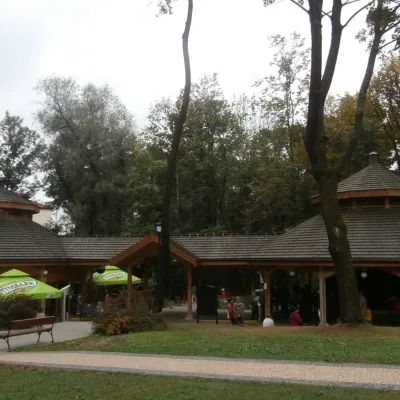 Water parks & thermal poolsRabka-Zdrój spa: brine graduation tower, pump rooms, treatmentsRabka-Zdrój43 km from the trailRabka-Zdrój is a spa in the Raba valley between the Gorce, the Beskid Wyspowy and the Beskid Makowski, halfway from Kraków to Zakopane.
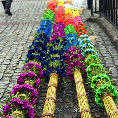 Markets & fairsLipnica Murowana Palm Contest: giant Easter palms and fairLipnica Murowana45 km from the trailLipnica Murowana is a tiny historic town on the Wiśnicz Foothills, among orchards and hills between Bochnia and Limanowa.
