Ćwilin
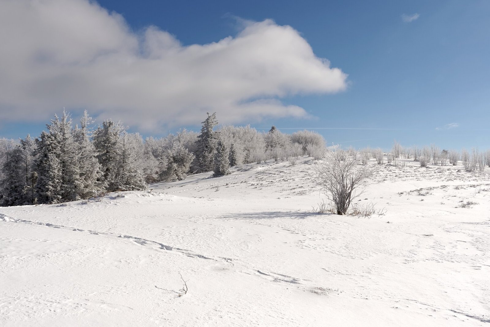
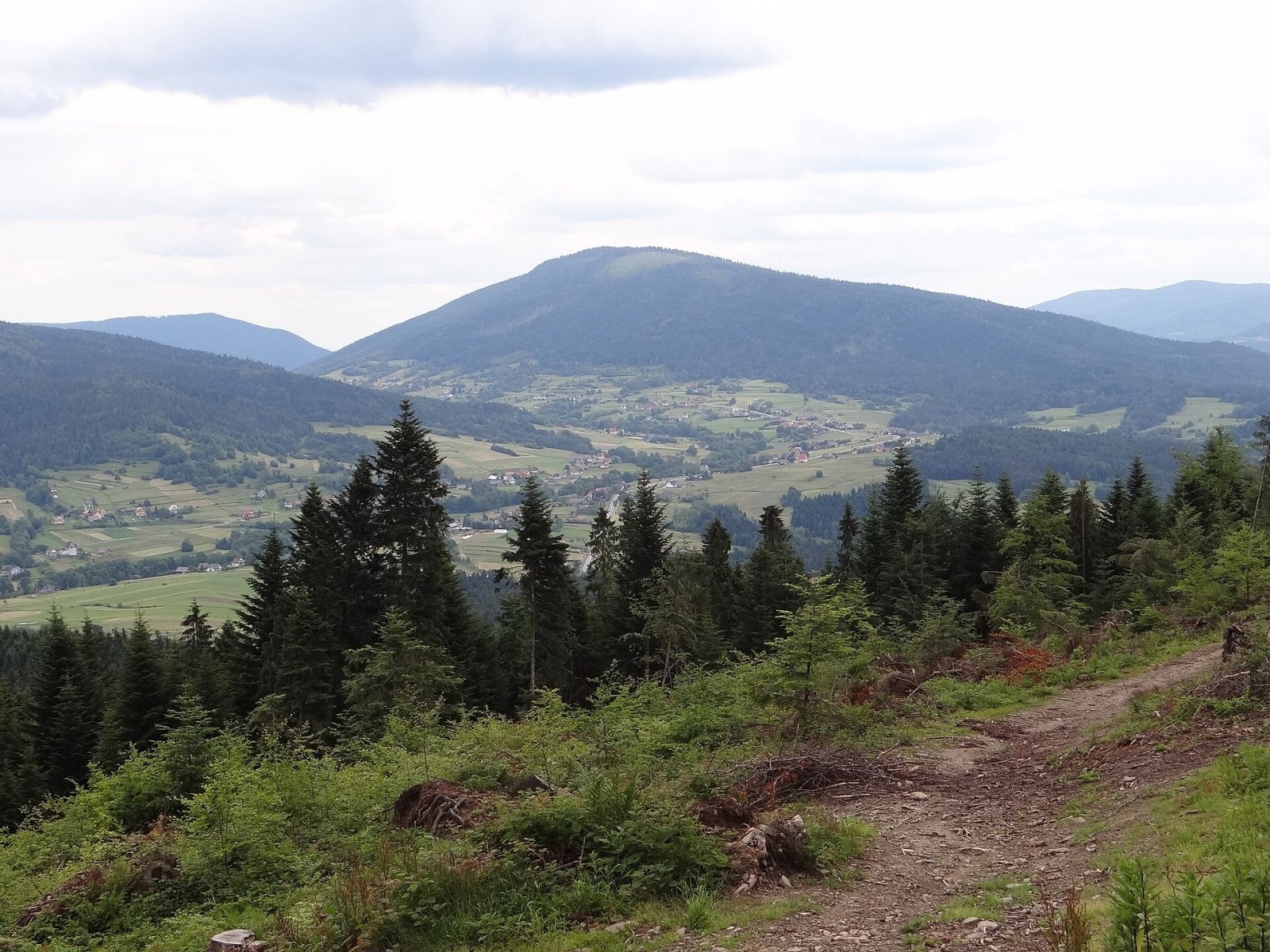
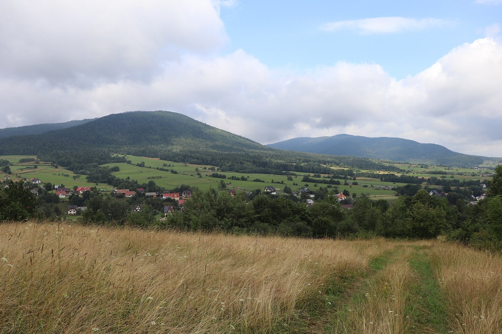
Ćwilin is a 1,072 m summit, the second-highest mountain of the Island Beskids. Its name was given in the 14th century by German settlers in Tymbark and Jurków: it comes from the German Zwilling, "twin", because the mountain has a twin — neighbouring Śnieżnica. The incorrect form Ćwiliń also appears in the literature. Ćwilin rises above the villages of Jurków, Wilczyce and Gruszowiec in Dobra commune and Łostówka and Kasina Wielka in Mszana Dolna commune (Limanowa County, Lesser Poland). Mszana Dolna lies about 9 km to the west.
It is a typical mountain of the Island Beskids — solitary and separated on all sides by deep valleys or low passes. The northern slopes are especially steep, dropping to the Gruszowiec Pass (660 m), which separates Ćwilin from Śnieżnica (1,006 m). On the south-eastern ridge some maps mark a lower top, Mały Ćwilinek (795 m). The watershed between the Raba and Dunajec basins runs over the mountain.
How to get there / trails
- Blue trail from the Gruszowiec Pass — 1 h 15 min up (45 min down). The pass lies on national road 28.
- Blue trail from Jurków — 1 h 50 min (1 h 30 min down).
- Yellow trail from Mszana Dolna via Czarny Dział — 3 h 20 min (2 h 30 min down).
- The Main Trail of the Island Beskids also crosses the summit, and a cycling route runs from Mszana Dolna via Czarny Dział and Ćwilin to Jurków.
The view from the top
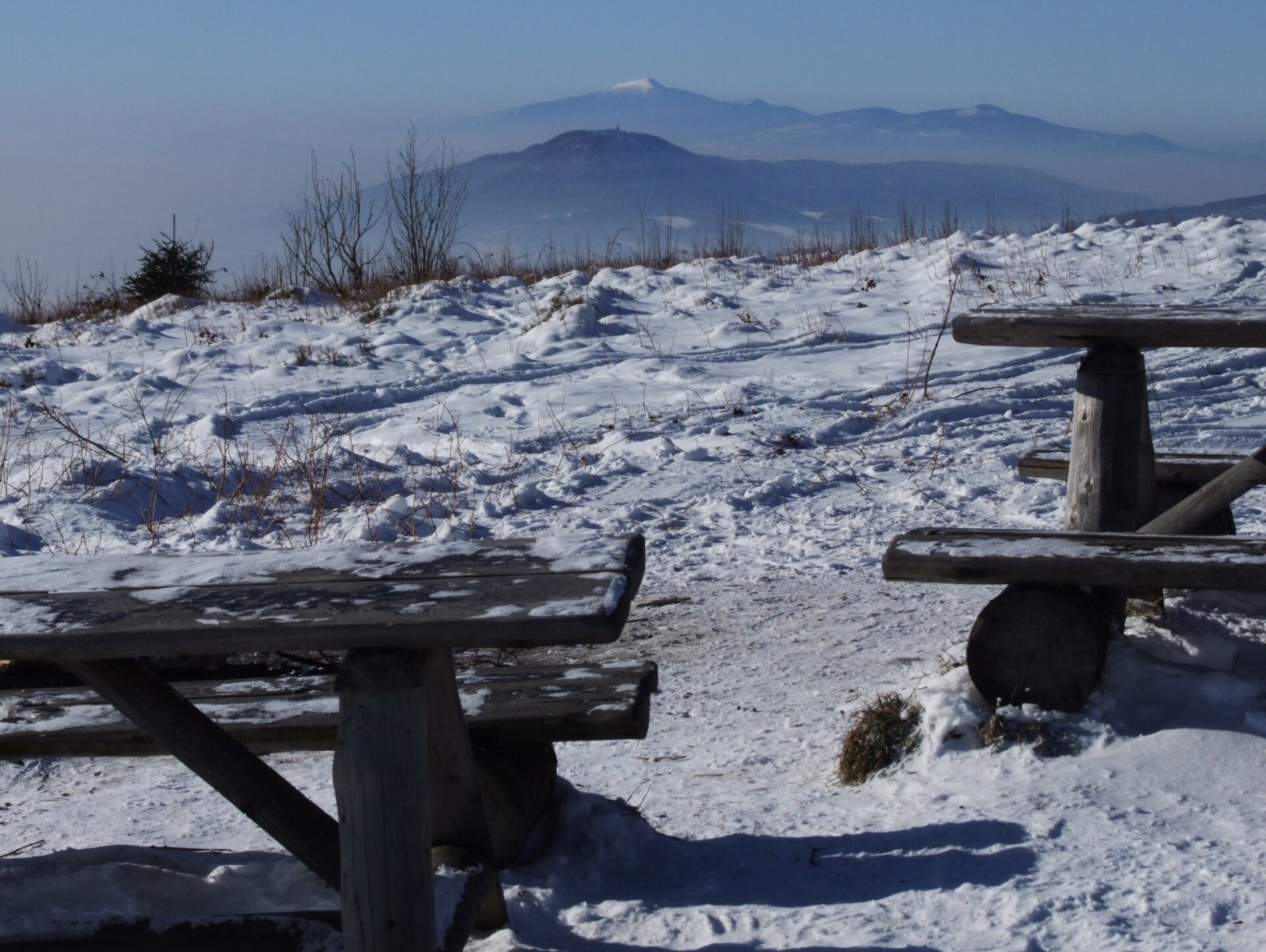
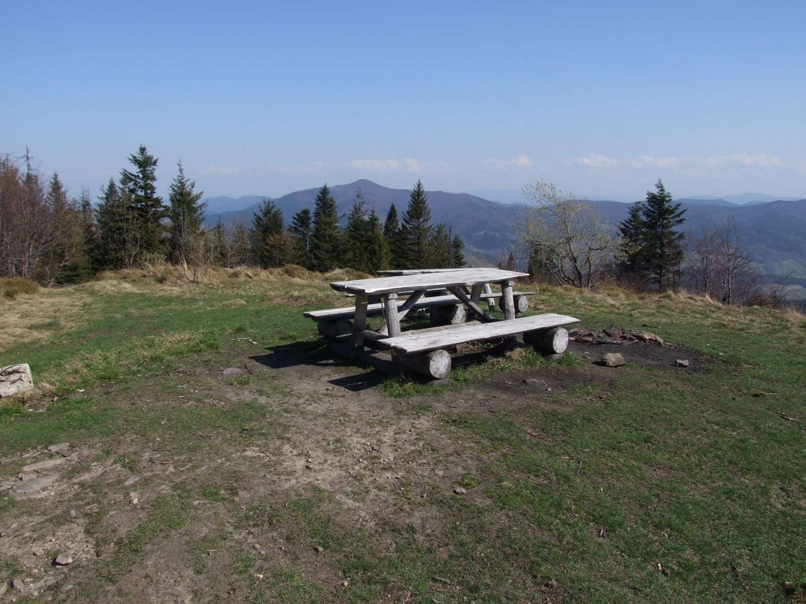
The Michurowa summit clearing offers wide views to the east, south and west — mainly of the Gorce, the Tatras and the neighbouring Island Beskid peaks. In good weather you can see Babia Góra, the Sądecki Beskids and, in Slovakia, the Spišská Magura, Veľký Choč and the Malá Fatra. There is a table with benches on the summit, and the steep, broad slope of the clearing is a good launch site for paragliders.
Nature and history
Ćwilin was once busy with shepherding: people from Gruszowiec, Jurków, Wilczyce and Łostówka grazed large flocks of sheep here. A reminder of those times is the Michurowa summit clearing, now much smaller as forest reclaims it. By the path, next to a clump of beeches, stands a wooden chapel with an altar put up in 2000; in the lower part of the clearing, beside the remains of a stone shepherds' hut, there is a small spring. It is said that Kazimierz Sosnowski coined the name "Beskid Wyspowy" (Island Beskids) on this very clearing.
As everywhere in the Carpathians, landslides shape the mountain. The largest recorded one happened on 15 August 1927: during a storm a section of slope soaked by prolonged rain broke away with a roar, exposing rocks above the Rosłaniec stream that are still not fully overgrown. In 2001 several small caves were found on the north-western slopes, the longest being the Cave of Falling Stones (15 m).
The forests are home to wild boar, red deer, roe deer and badgers; in 2010 the lynx, rare in Poland, was confirmed here, and wolves visit from time to time. The flora includes the leathery grape fern (Botrychium multifidum), known from only about 30 sites in the Polish Carpathians. Between the wars there was a capercaillie reserve on Ćwilin.
In 1943 the Home Army chose the Michurowa clearing as an Allied supply drop zone code-named "Sokół": in 1944 containers of weapons and ammunition were dropped here from aircraft flying from the base at Brindisi in Italy. On 19 March 1954 a Li-2 passenger aircraft, SP-LAH, flying from Warsaw to Kraków crashed in thick fog on the eastern slope above the Granice settlement near Gruszowiec; local people carried the injured to an ambulance on improvised stretchers.
Safety, season and rules
Ćwilin is accessible all year; the shortest ascent is from the Gruszowiec Pass, but it is steep. The summit clearing is exposed to wind, and in winter the paths can be snowy and slippery. The mountain lies outside national parks.
Mountain rescue in the Beskids is provided by GOPR: 985 or +48 601 100 300, and 112.
Photos: Jakub Hałun, CC BY-SA 4.0; Jerzy Opioła, CC BY-SA 4.0; Jerzy Opioła, CC BY-SA 4.0; Jerzy Opioła, CC BY-SA 4.0; Andrzej Otrębski, CC BY-SA 4.0; Jerzy Opioła, CC BY-SA 4.0; Kedziorek1998d, CC0 — Wikimedia Commons.
Getting there from Ukraine
Border crossings
- Krakovets – Korczowa — road, 24/7
- Shehyni – Medyka — road, 24/7 Pedestrian crossing is not confirmed by the Ukrainian border service — check dpsu.gov.ua before the trip.
- Smilnytsia – Krościenko — road, 24/7
- Hrushiv – Budomierz — road, 24/7
- Mostyska – Przemyśl (rail) — rail, 24/7
By car
Lviv – Szczawnica ≈384 km, ≈5 h 25 min without queues: M-10 → Krakovets – Korczowa → A4 to Brzesko (≈198 km) → DK75 to Nowy Sącz → DW969 via Stary Sącz and Łącko to Krościenko nad Dunajcem → Szczawnica. ≈306 km, ≈4 h from the border.
Checked 23.10.2026; border crossing hours and timetables change — check before you travel.
Location on the map
Comments
Trails nearby
All trails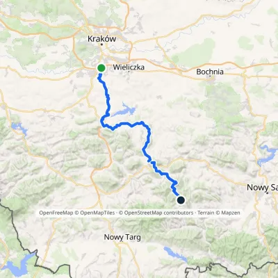 HardMulti-dayMarkedSwoszowice SzczawaElevation profile228–1 171 m83.8 kmascent 3 385 munder 1 km from Ćwilin
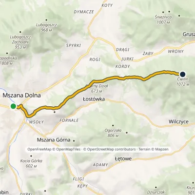 ModerateOne-dayMarkedMszana Dolna ĆwilinElevation profile396–1 072 m9.7 kmascent 727 m≈ 4 h walkingunder 1 km from Ćwilin
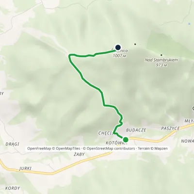 EasyOne-dayMarkedGruszowiec ŚnieżnicaElevation profile677–1 007 m3.3 kmascent 337 m≈ 1.5 h walking1.5 km from Ćwilin
Nearby attractions
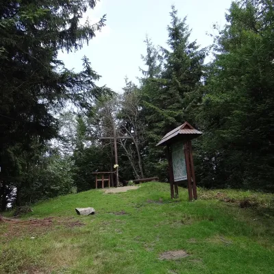 PeakŚnieżnicaGruszowiecaltitude 1 007 m3.2 km from ĆwilinŚnieżnica is a 1007 m mountain in the Island Beskids (Beskid Wyspowy) in Lesser Poland Voivodeship, southern Poland.
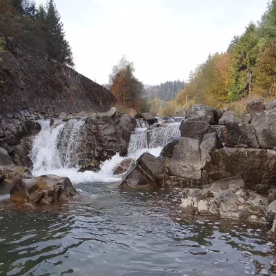 WaterfallSpad Waterfall, SzczawaSzczawa9.1 km from ĆwilinSpad is a natural waterfall on the Kamienica Gorczańska, a left tributary of the Dunajec, in the village of Szczawa on the border of the Gorce and the Island Beskids ...
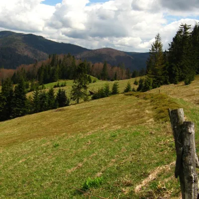 Mountain meadowTurbaczyk GladeKoninaaltitude 1 025 m13 km from ĆwilinTurbaczyk is a summit meadow on the mountain of the same name in the Gorce, on the northern side of the Turbacz massif.
Craft nearby
All craft places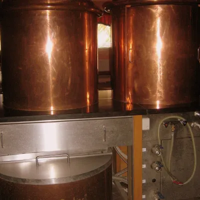 Craft shopsCistercian monastery shop, Szczyrzyc: abbey cheese, milk and Gryf beerSzczyrzyc11 km from ĆwilinIts heart is the Cistercian abbey: the monks arrived in the first half of the 13th century and, according to the monastery itself, have lived here without interruption...
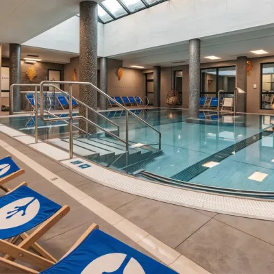 Water parks & thermal poolsTermy Gorce thermal bathsNiedźwiedź12 km from ĆwilinTermy Gorce is a small, cosy thermal complex in the village of Poręba Wielka, in the municipality of Niedźwiedź, at the foot of the Gorce Mountains.
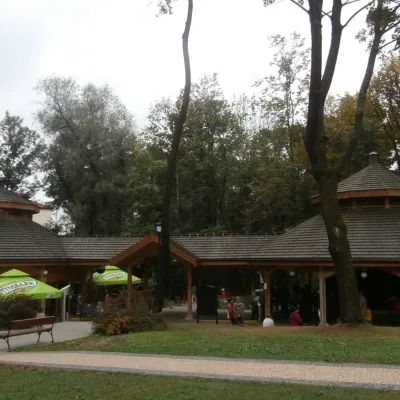 Water parks & thermal poolsRabka-Zdrój spa: brine graduation tower, pump rooms, treatmentsRabka-Zdrój19 km from ĆwilinRabka-Zdrój is a spa in the Raba valley between the Gorce, the Beskid Wyspowy and the Beskid Makowski, halfway from Kraków to Zakopane.
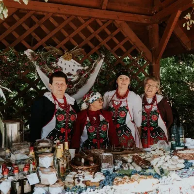 Markets & fairsFruit Harvest Festival in Łącko: village stands, fruit and folkloreŁącko22 km from ĆwilinŁącko, in the Dunajec valley between Stary Sącz and the Pieniny, is one of Poland's best-known fruit-growing areas: the slopes around are covered with apple, pear and...
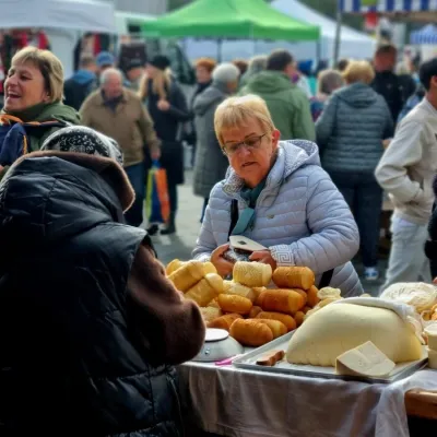 Markets & fairsNowy Targ Fair (Nowa Targowica)Nowy Targ25 km from ĆwilinThe fair in Nowy Targ is the largest and oldest market in Podhale. On Thursdays and Saturdays highlanders from the surrounding villages, Slovaks from across the border...
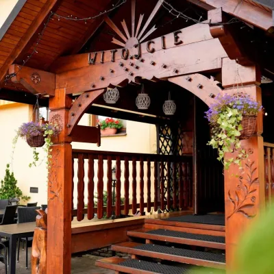 Koliby & Hutsul cuisineKarcma u Borzanka, Nowy Targ: highland food in an 18th-century innNowy Targ25 km from ĆwilinKarcma u Borzanka is a highland tavern in the oldest coaching inn of Nowy Targ, the capital of Podhale.
