Kiczora Kamienicka
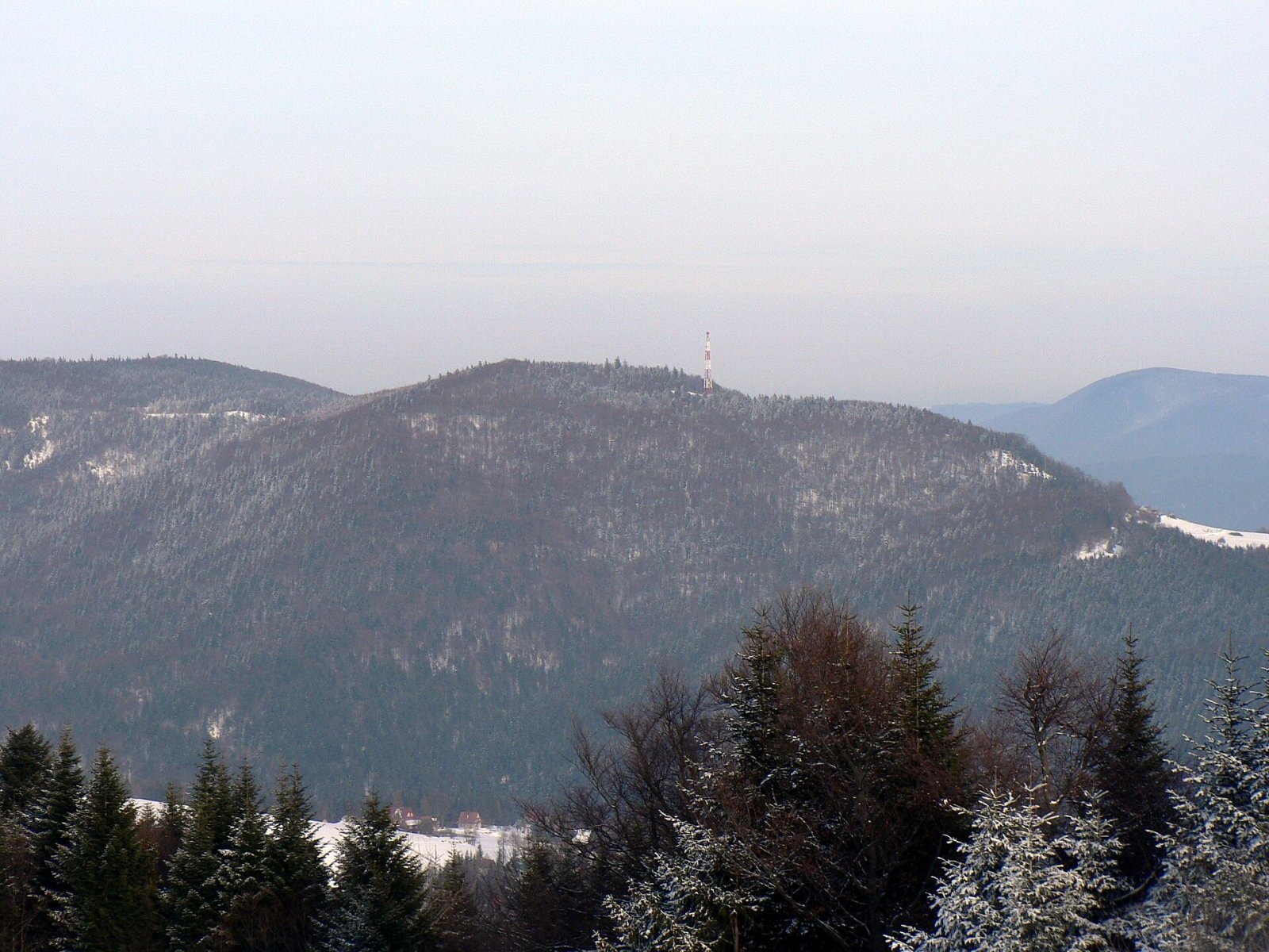
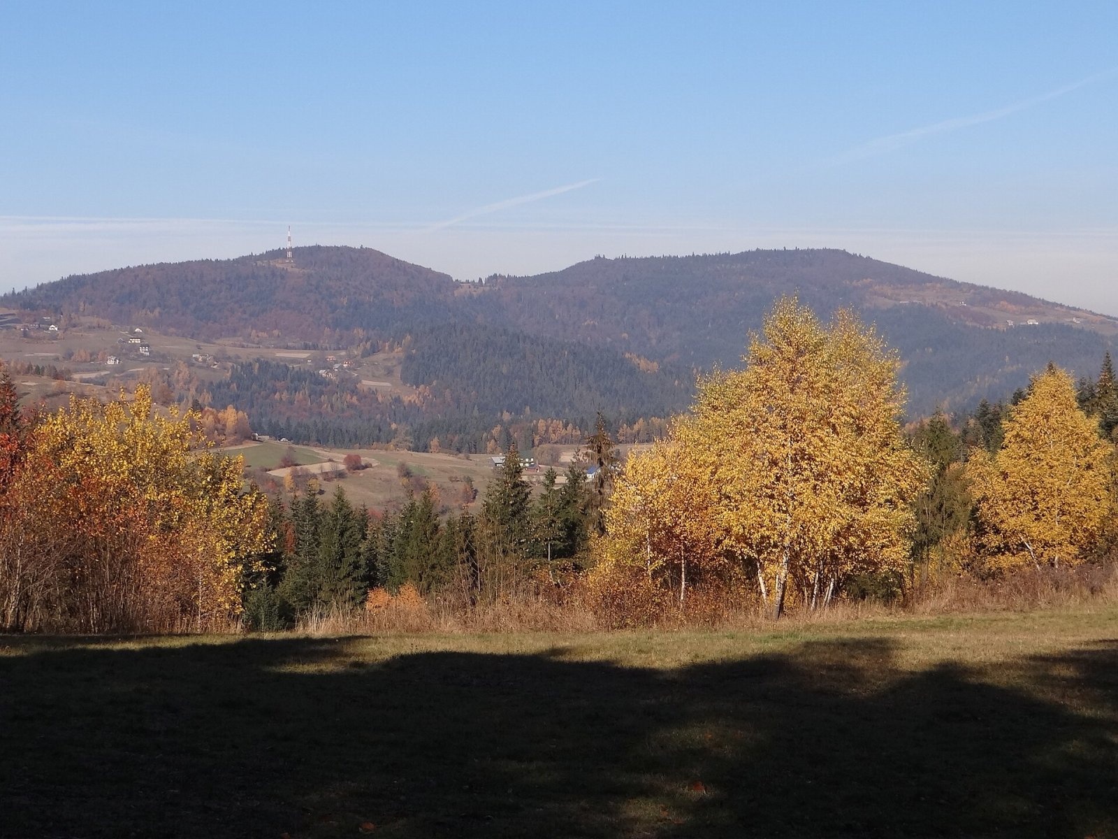
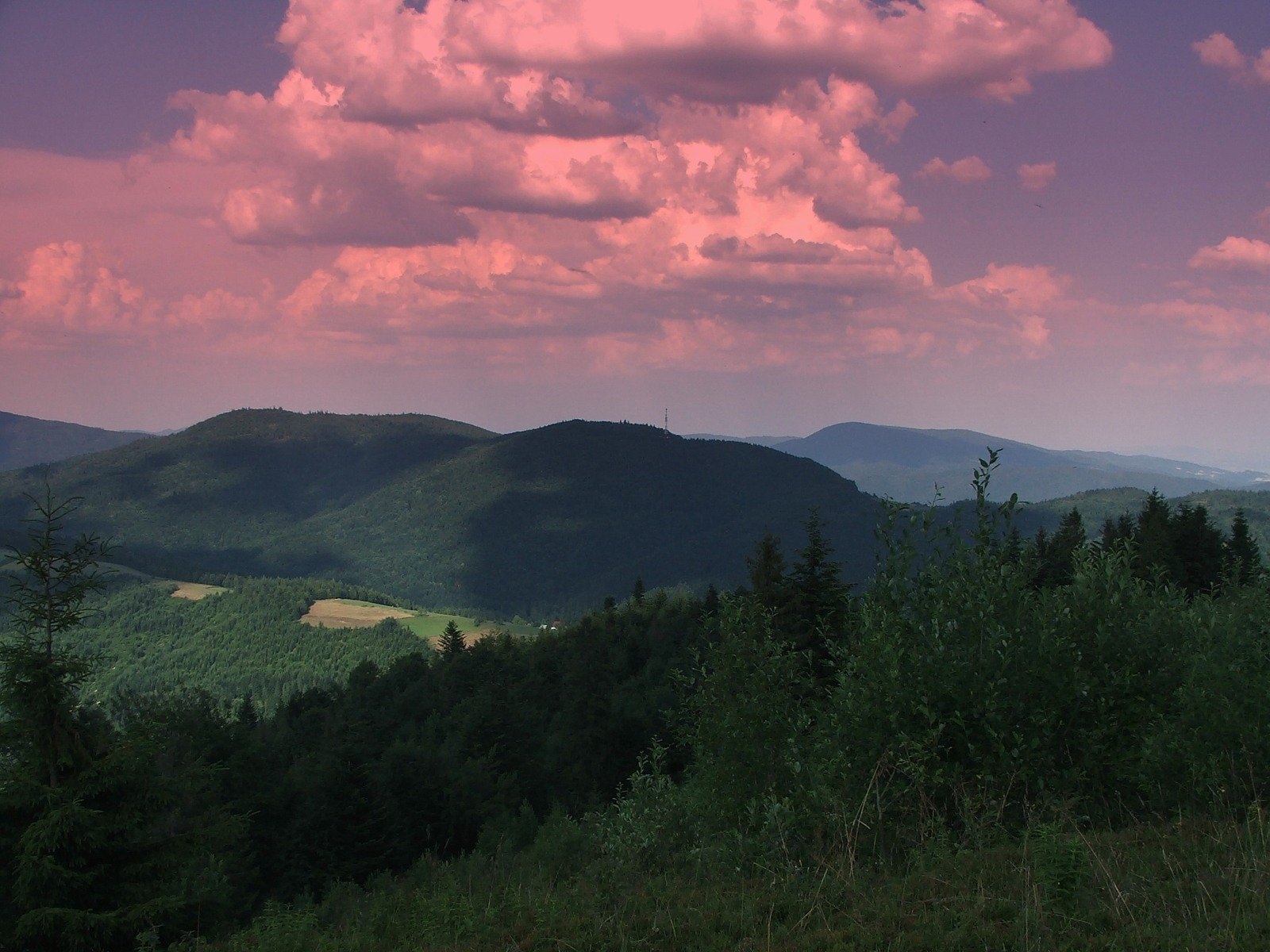
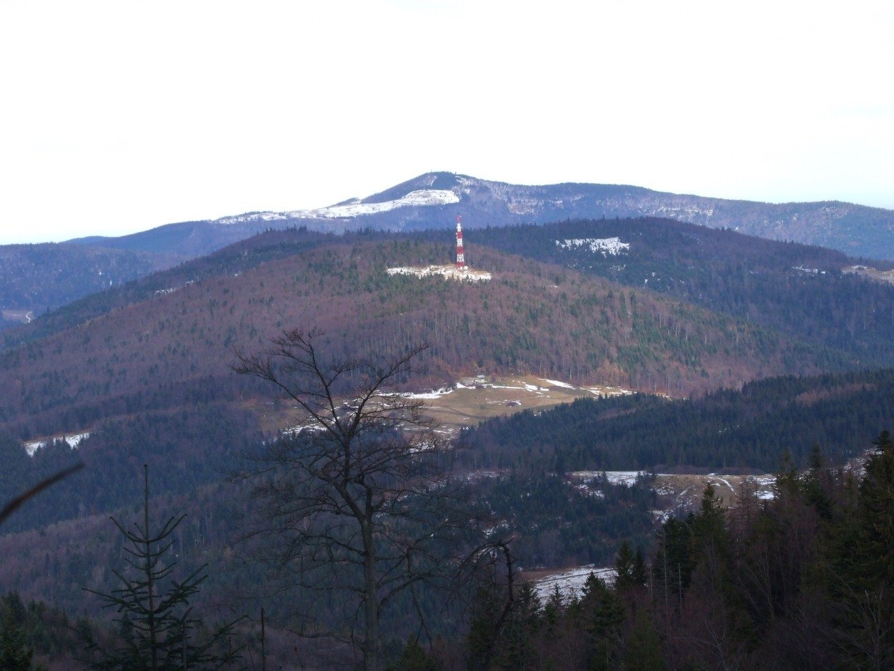
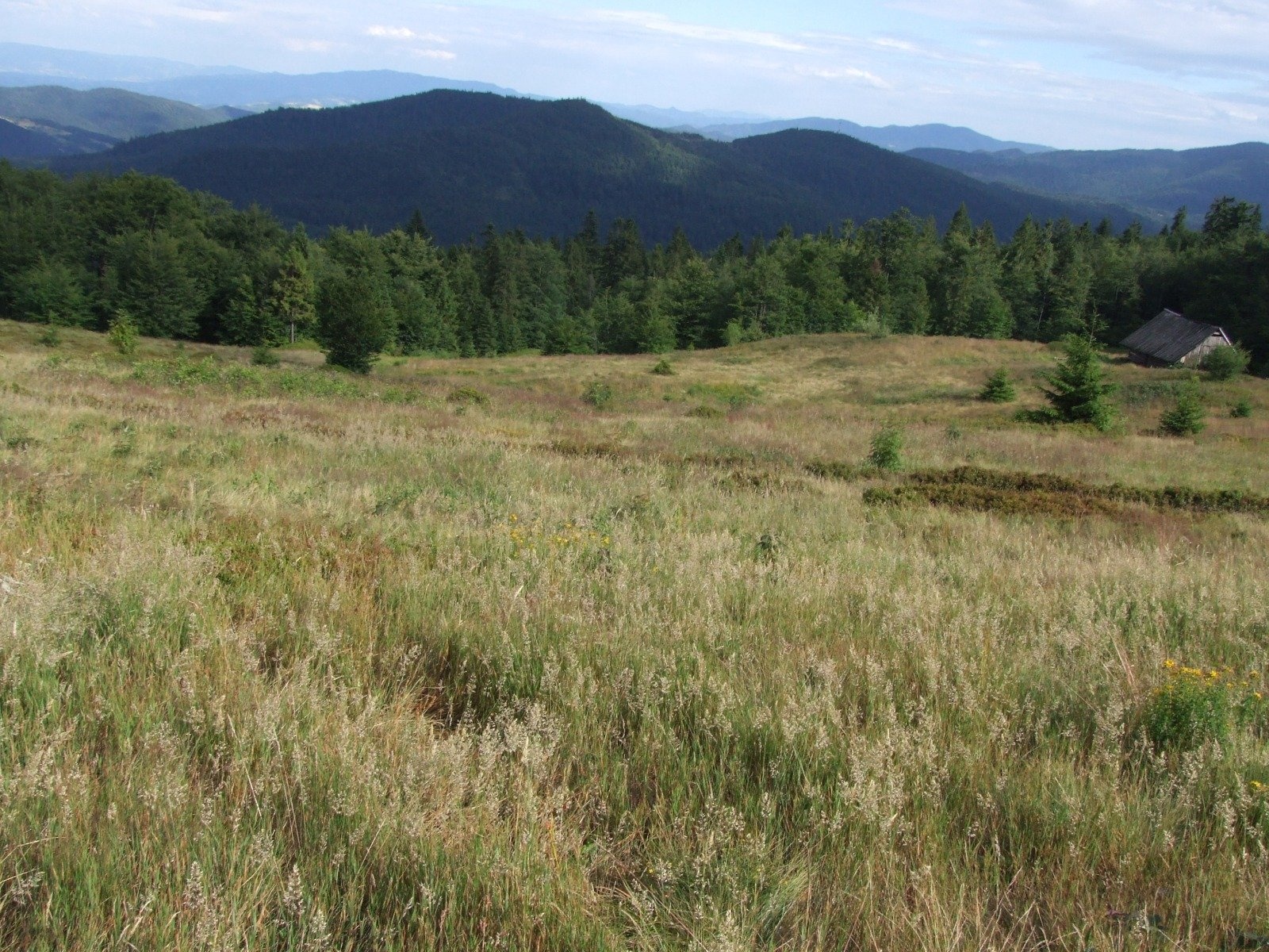
Kiczora Kamienicka (also simply Kiczora) is a summit 1,003 m high (other sources give 1,007 m) on the border of the Island Beskids and the Gorce in southern Poland. It lies within the village of Szczawa (Szczawa municipality, Limanowa County, Lesser Poland Voivodeship); the centre of Szczawa is about 4 km away. Together with neighbouring Wielki Wierch (1,016 m) the mountain is surrounded on three sides by the Kamienica river, so both summits stand as if on a peninsula. To the south Kiczora borders Magorzyca (875 m), to the north Wielki Wierch; between them is a pass with the Jeziorne glade. Provincial road 968 from Szczawa to Kamienica runs along the bed of the Kamienica Gorczańska, which flows around these summits.
Kiczora Kamienicka is easy to recognise by the relay mast rising below its summit: it can be seen from many neighbouring mountains — from Jasień, from the Gorce glades and from the observation tower on Gorc.
Getting there / trails
A red walking loop leads to the summit: Szczawa – Łuszczki hamlet – Kiczora Kamienicka – Polanki hamlet – Szczawa. According to OpenStreetMap, it passes about 40 m from the top. It is a local trail rather than part of the long mountain routes, which makes it handy for a shorter walk from Szczawa. The sources give no walking times.
What you can see from the top
The mountain is mostly forested, and the sources do not describe views from the summit itself. Kiczora Kamienicka is best seen from the side: from the Skalne glade on Jasień, from the Tokarka glade, from the Przysłopek pass and the slopes of Myszyca, from Jaworzynka and Jaworzyna Kamienicka in the Gorce, and from the tower on Gorc. In many of these photos it appears next to Wielki Wierch, and from the Gorce side against the backdrop of Mogielica.
Nature and history
Which range the mountain belongs to is an old debate. In Jerzy Kondracki's physico-geographical regionalisation of the Carpathians, Kiczora Kamienicka together with Wielki Wierch and Magorzyca is assigned to the Island Beskids, with the boundary drawn through a shallow pass (850 m) between Magorzyca and Gorc. This division is also accepted by the collective guide "Gorce. Przewodnik dla prawdziwego turysty". Other authors, however — Józef Nyka and Andrzej Matuszczyk — place these summits in the Gorce, since they are separated from the Island Beskids by the deep Kamienica Gorczańska valley, the most natural boundary between the two ranges. On a new physico-geographical map of Poland produced at the Institute of Environmental Protection, Kiczora Kamienicka, Wielki Wierch and Magorzyca also belong to the Gorce.
Hamlets of Szczawa — Podkiczory, Szałasie, Faronówki and Polanki — are squeezed between the forests on the southern and eastern slopes. All streams from the mountain flow into the Kamienica or its tributary, the Głębieniec. According to OpenStreetMap, there are several mineral water intakes in the valleys around Szczawa. The name is of Vlach origin: the Vlachs used the word "kiczora" for a mountain with a wooded summit. There are a great many mountains called Kiczora in the Carpathians, hence the qualifier "Kamienicka".
Safety, season and rules
The walking trail to Kiczora Kamienicka is easy and can be used all year round; in winter the forest tracks can be snowy and icy. The summit is not in the Gorce National Park, but follow the general rules: no fires outside designated places and no litter. Do not enter the fenced area around the mast. Mountain rescue in the Gorce and the Beskids is provided by GOPR: call 985 or +48 601 100 300; the general emergency number is 112.
Interesting facts
- Together with Wielki Wierch the mountain is surrounded on three sides by the Kamienica river.
- Some geographers assign it to the Island Beskids, others to the Gorce.
- In Vlach "kiczora" means a mountain with a wooded summit — there are dozens of such names in the Carpathians.
Photos: Krzysztof Dudzik-Górnicki (User:ToSter), CC BY-SA 3.0; Jerzy Opioła, CC BY-SA 4.0; Paweł Opioła, CC BY-SA 4.0; Jerzy Opioła, CC BY-SA 4.0; Jerzy Opioła, CC BY-SA 4.0 — Wikimedia Commons.
Getting there from Ukraine
Border crossings
- Krakovets – Korczowa — road, 24/7
- Shehyni – Medyka — road, 24/7 Pedestrian crossing is not confirmed by the Ukrainian border service — check dpsu.gov.ua before the trip.
- Smilnytsia – Krościenko — road, 24/7
- Hrushiv – Budomierz — road, 24/7
- Mostyska – Przemyśl (rail) — rail, 24/7
By car
Lviv – Szczawnica ≈384 km, ≈5 h 25 min without queues: M-10 → Krakovets – Korczowa → A4 to Brzesko (≈198 km) → DK75 to Nowy Sącz → DW969 via Stary Sącz and Łącko to Krościenko nad Dunajcem → Szczawnica. ≈306 km, ≈4 h from the border.
Checked 23.10.2026; border crossing hours and timetables change — check before you travel.
Location on the map
Water and shelter nearby
- Spring below Wielki Wierch2.4 km · Not verified · 621 m
- Mineral Springs No. 10 and 112.6 km · Not verified · 552 m
- Mineral Spring No. 92.7 km · Not verified · 547 m
Comments
Trails nearby
All trails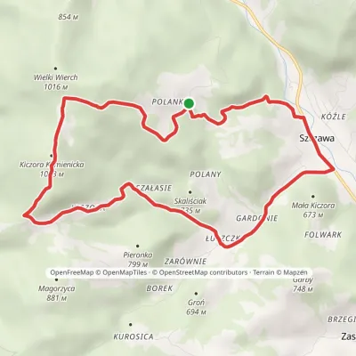 ModerateOne-dayMarkedSzczawa Kiczora KamienickaElevation profile512–1 003 m10.7 kmascent 500 m≈ 3.5 h walkingunder 1 km from Kiczora Kamienicka
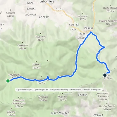 ModerateOne-dayMarkedPrzełęcz Borek Hale Gorcowskievia RzekiElevation profile685–1 228 m14.8 kmascent 568 m≈ 5 h walking1.7 km from Kiczora Kamienicka
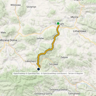 HardTwo-dayMarkedTymbark Lubomierz RzekiElevation profile392–1 171 m22.5 kmascent 1 107 m≈ 8 h walking1.8 km from Kiczora Kamienicka
Nearby attractions
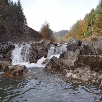 WaterfallSpad Waterfall, SzczawaSzczawa2.8 km from Kiczora KamienickaSpad is a natural waterfall on the Kamienica Gorczańska, a left tributary of the Dunajec, in the village of Szczawa on the border of the Gorce and the Island Beskids ...
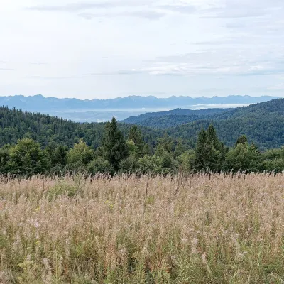 Mountain meadowGorc Kamienicki GladeZasadnealtitude 1 150 m3.7 km from Kiczora KamienickaPolana Gorc Kamienicki is a mountain glade on the northern ridge of Gorc (1,228 m) in the eastern Gorce, at 1,120–1,150 m.
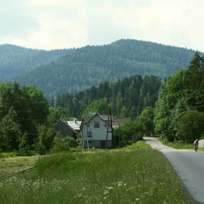 PeakJasieńPółrzeczkialtitude 1 063 m3.8 km from Kiczora KamienickaJasień is a summit about 1,063 m high in the Island Beskids (Beskid Wyspowy) in southern Poland, in Limanowa County of the Lesser Poland Voivodeship.
Craft nearby
All craft places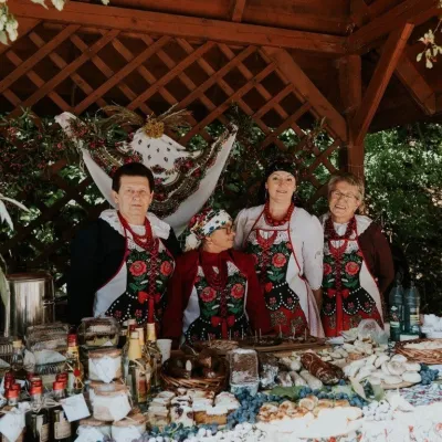 Markets & fairsFruit Harvest Festival in Łącko: village stands, fruit and folkloreŁącko13 km from Kiczora KamienickaŁącko, in the Dunajec valley between Stary Sącz and the Pieniny, is one of Poland's best-known fruit-growing areas: the slopes around are covered with apple, pear and...
 Water parks & thermal poolsTermy Gorce thermal bathsNiedźwiedź13 km from Kiczora KamienickaTermy Gorce is a small, cosy thermal complex in the village of Poręba Wielka, in the municipality of Niedźwiedź, at the foot of the Gorce Mountains.
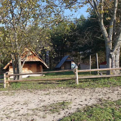 Cheese dairies & pasturesMajerz Meadow Shepherd's Hut, Pieniny National Park: oscypek and żętycaKrośnica19 km from Kiczora KamienickaMajerz meadow (hala) sits on a 689 m hill between Czorsztyn-Nadzamcze and the village of Hałuszowa, above Lake Czorsztyn.
 Markets & fairsNowy Targ Fair (Nowa Targowica)Nowy Targ20 km from Kiczora KamienickaThe fair in Nowy Targ is the largest and oldest market in Podhale. On Thursdays and Saturdays highlanders from the surrounding villages, Slovaks from across the border...
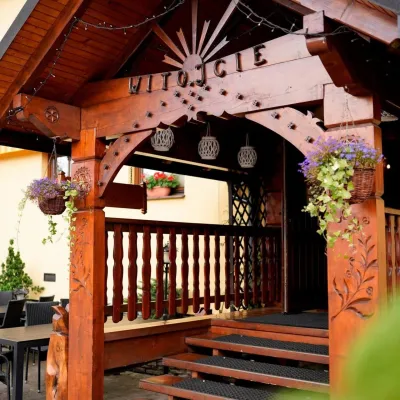 Koliby & Hutsul cuisineKarcma u Borzanka, Nowy Targ: highland food in an 18th-century innNowy Targ20 km from Kiczora KamienickaKarcma u Borzanka is a highland tavern in the oldest coaching inn of Nowy Targ, the capital of Podhale.
 Craft shopsCistercian monastery shop, Szczyrzyc: abbey cheese, milk and Gryf beerSzczyrzyc21 km from Kiczora KamienickaIts heart is the Cistercian abbey: the monks arrived in the first half of the 13th century and, according to the monastery itself, have lived here without interruption...
