Gorc
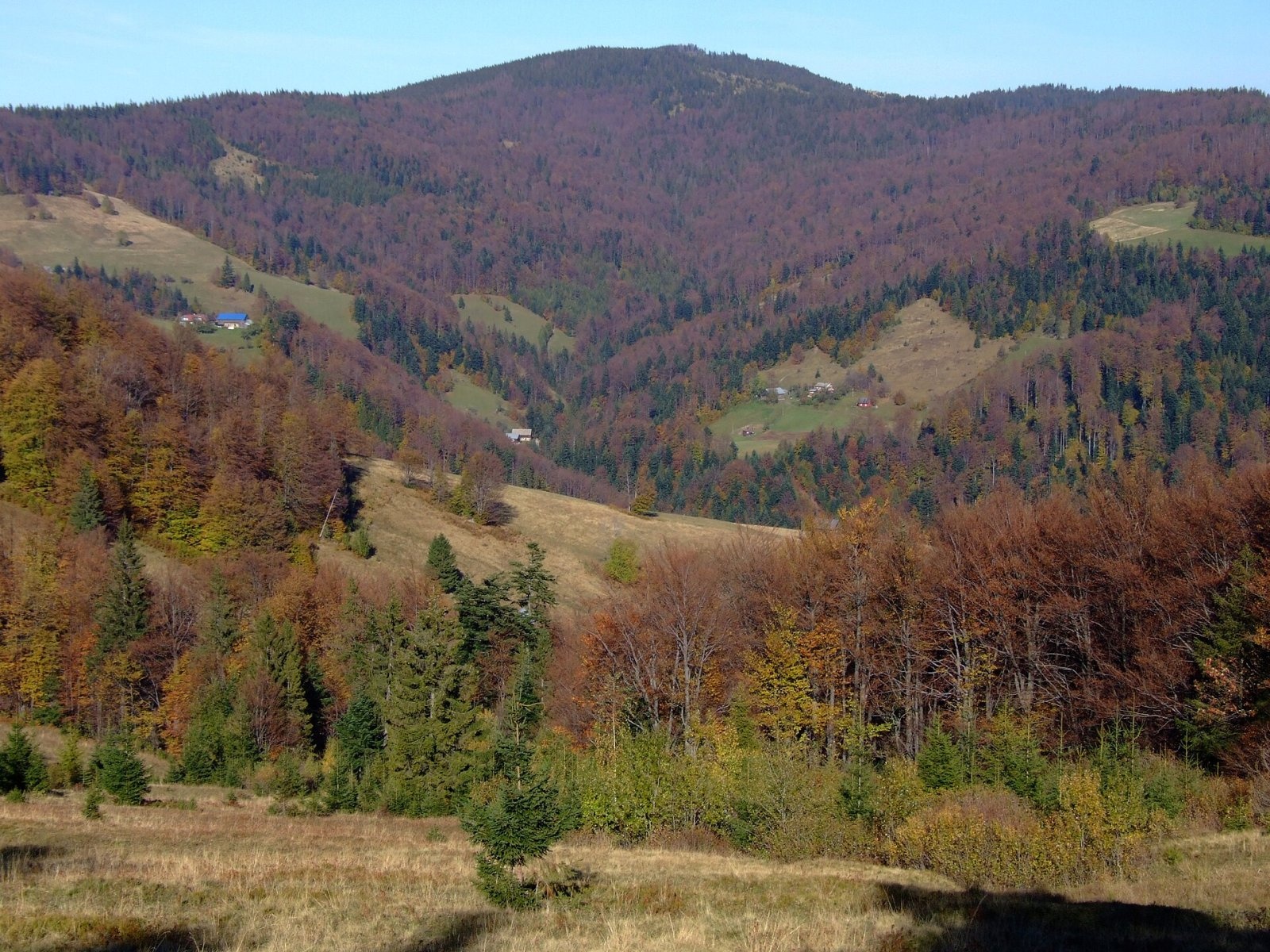
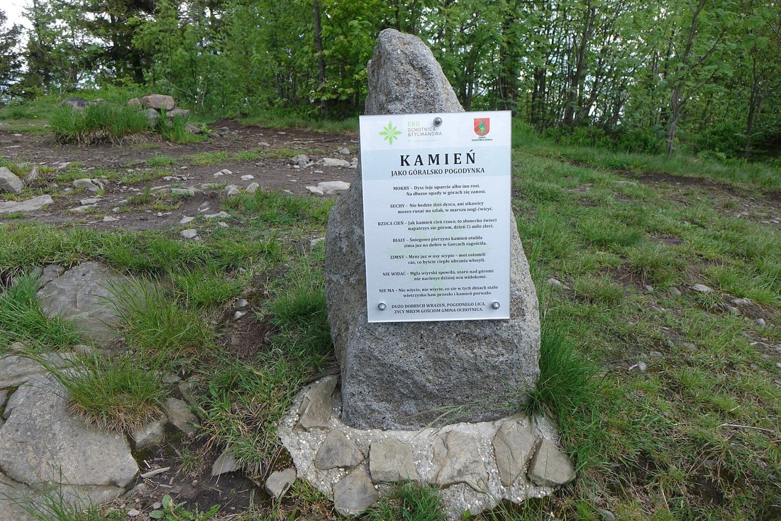
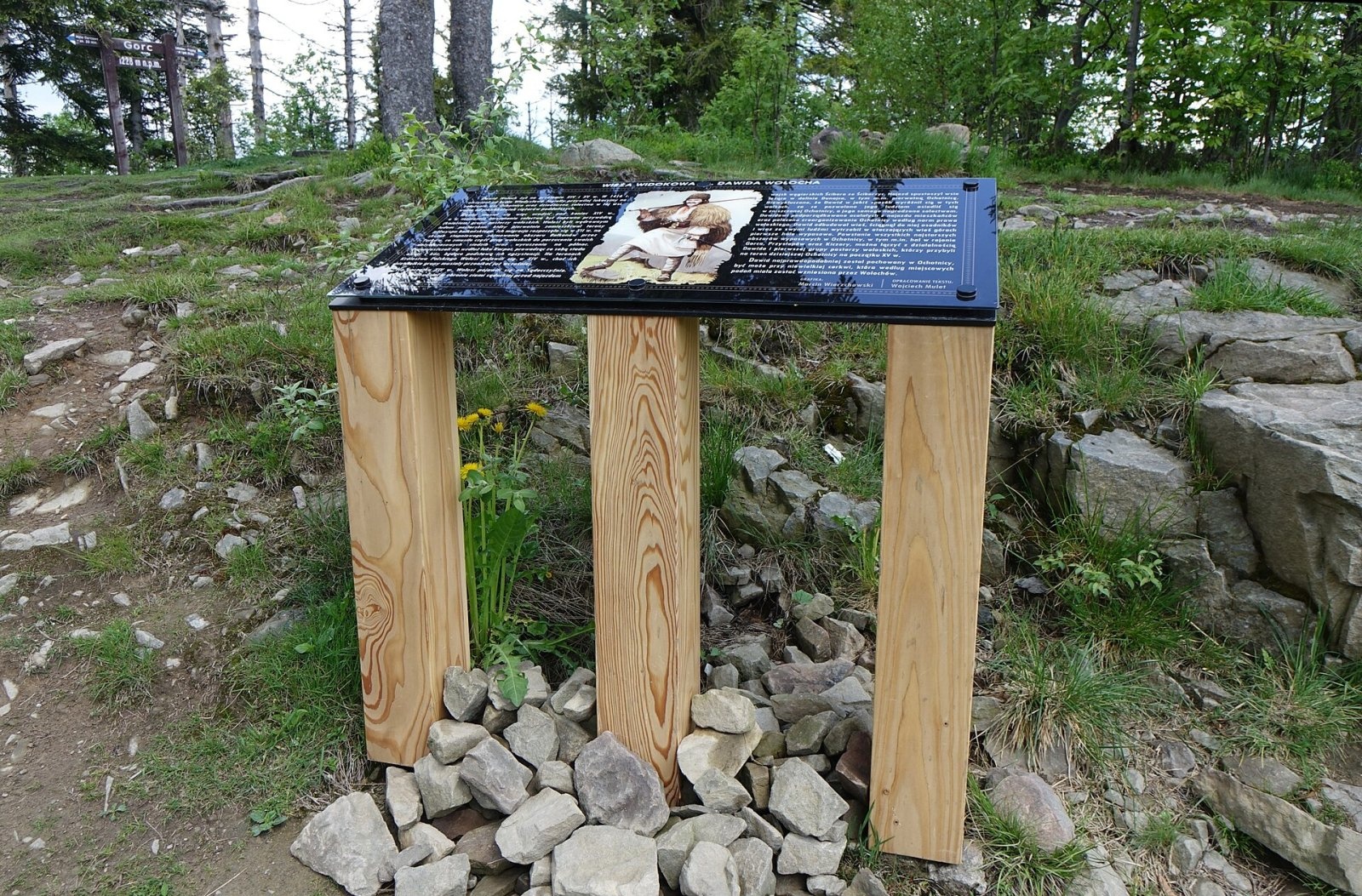
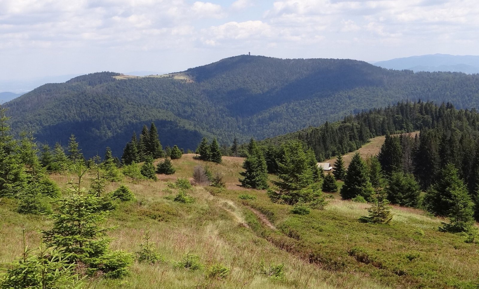
Gorc (1,228 m) is a summit in the eastern part of the main ridge of the Gorce Mountains in southern Lesser Poland. It gives its name to the long Gorc Range running east from Turbacz, and its distinctive outline with several clearings on its slopes is easy to recognise from far away. Some maps label it Gorc Kamienicki — a name borrowed from the clearing of that name on its northern ridge. The summit marks the boundary between the villages of Zasadne and Szczawa (Limanowa County) on the north-western slopes and Ochotnica Dolna (Nowy Targ County) on the south-eastern side.
Gorc is the easternmost summit of Gorce National Park, and the park boundary runs right across it. Its prominence, according to Polish Wikipedia, is 178 m.
How to get there / trails
Three marked trails reach the summit (times and distances from the Compass map quoted by Polish Wikipedia):
- blue — from Rzeki (part of Lubomierz) via Nowa Polana, Świnkówka and the Gorc Kamienicki clearing: 5.6 km, 510 m of ascent, about 2 hours up and 1 h 15 min down. Gorce National Park describes the same walk from Lubomierz-Rzeki as 5 km and about 2 h 10 min uphill;
- green — along the Gorc Range to Turbacz via the Przysłop pass, the Średniak and Jaworzyna clearings, Trzy Kopce, Polana Gabrowska and Hala Długa: 10.4 km, about 2 h 50 min;
- green — from Ochotnica Dolna via Jaworzynka Gorcowska, Hale Gorcowskie, Hale Podgorcowe and the Gorc Gorcowski clearing: 7.3 km, 640 m of ascent, about 2 h 50 min up and 1 h 40 min down.
Several ridges lead down from the summit to the Kamienica and Ochotnica valleys; in summer a seasonal student tent camp operates on Gorc.
What you can see from the summit
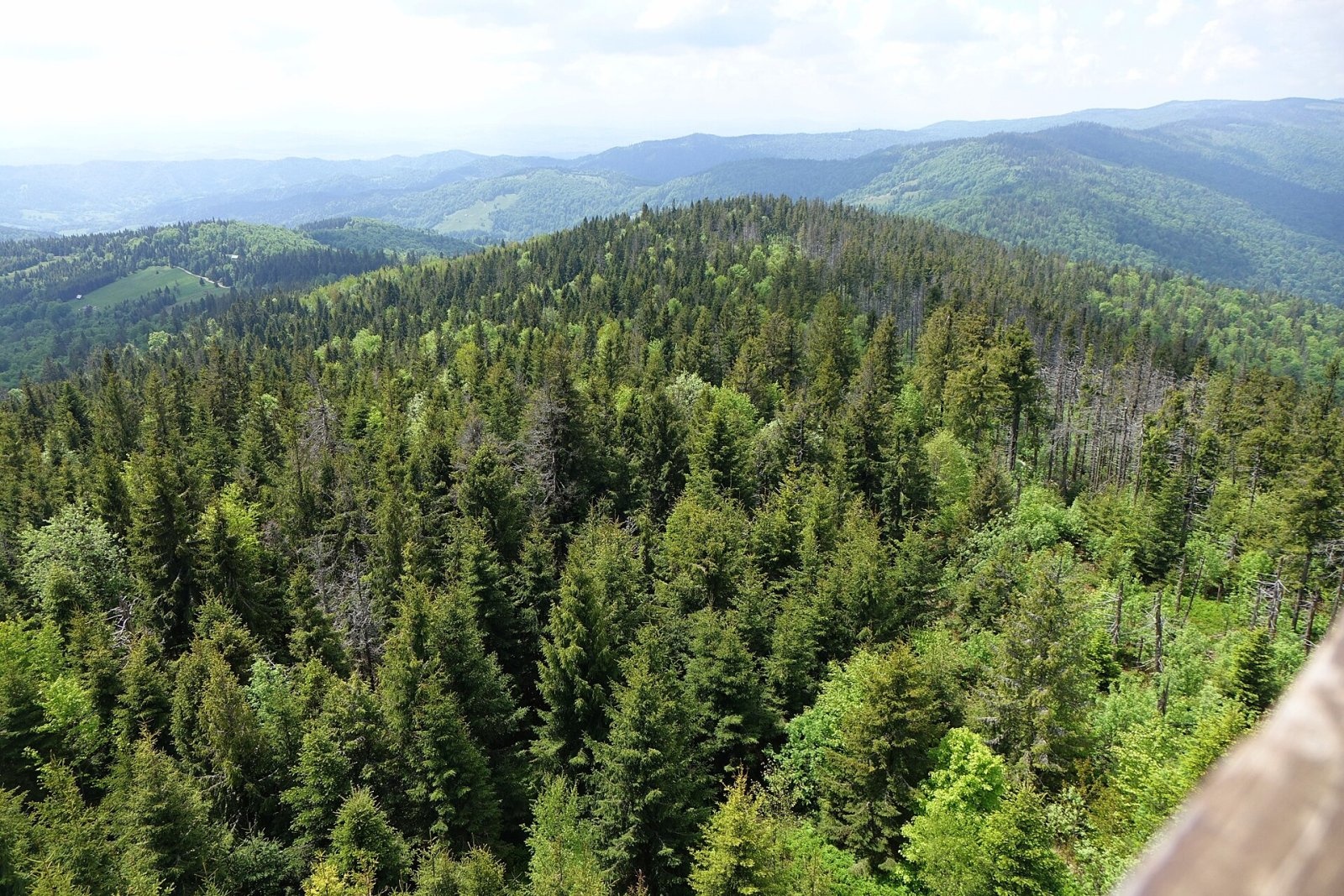
The summit itself is covered with sparse forest that blocks the view. A wooden triangulation tower once stood here, and from its platform Kraków, 80 km away, could be seen in good visibility. In 2015 a new observation tower was built on the summit; its stairs and deck are fully enclosed, so even people afraid of heights can climb it. Good views also open from the three clearings below the top — Gorc Gorcowski, Gorc Młynieński and Gorc Kamienicki — towards the Island and Sądecki Beskids, the Pieniny and the Tatras. On Gorc Młynieński, on the ridge to neighbouring Mraźnica, there is an open-air altar.
Nature and history
The mountain is built of thick beds of Magura sandstone and conglomerate. Fir and beech forests cover the northern slopes, spruce the higher parts. Gorc is a junction of several ridges: the south-western one (the main Gorce ridge) runs via Jaworzyna Kamienicka to Turbacz, the northern one leads to the Gorc Kamienicki clearing where it splits, the eastern one stretches via Lelonek and the Wierchmłynne pass all the way to the Dunajec, and two southern ridges drop into the Ochotnica valley. Streams such as Gorcowski Potok, Młynne, Zasadny Potok and Głębieniec flow from its slopes into the Kamienica and Ochotniczanka.
The name probably comes from the way the clearings were made: the forest was burnt, so the clearings were "burnt out". Most of the southern slopes were once pastures with many shepherds' huts and fields; today many clearings are no longer used and are slowly turning back into forest. From the south, the meadows and fields of Ochotnica Dolna still reach almost up to the summit along the Gorcowski Potok valley. A small cave, Jaskinia w Gorcu, lies on the south-eastern ridge.
Safety, season and rules
Gorc can be climbed all year round and its trails have no difficult or rocky sections. However, the forests and clearings are extensive and trails fork many times, so it is easy to get lost in fog. In winter, deep snow lies on the clearings. Inside Gorce National Park keep to marked trails, take your litter with you and do not light fires. Do not stay on the observation tower during a thunderstorm.
Mountain rescue in the Gorce is provided by GOPR: 985 or +48 601 100 300, plus the general emergency number 112.
Interesting facts
- Gorc is the easternmost peak of Gorce National Park — the park boundary runs straight across the summit.
- On the slopes of the Gorc Range is the grave of Władysław Pisarski, a Home Army partisan killed in October 1944.
- Because of the "borrowed" name, some maps call the mountain Gorc Kamienicki, although strictly this is only the clearing on its northern ridge.
Photos: Jerzy Opioła, CC BY-SA 3.0; Jerzy Opioła, CC BY-SA 4.0; Jerzy Opioła, CC BY-SA 4.0; Jerzy Opioła, CC BY-SA 4.0; Jerzy Opioła, CC BY-SA 4.0; Dorotkow, CC BY-SA 4.0; Jerzy Opioła, CC BY-SA 4.0 — Wikimedia Commons.
Getting there from Ukraine
Border crossings
- Krakovets – Korczowa — road, 24/7
- Shehyni – Medyka — road, 24/7 Pedestrian crossing is not confirmed by the Ukrainian border service — check dpsu.gov.ua before the trip.
- Smilnytsia – Krościenko — road, 24/7
- Hrushiv – Budomierz — road, 24/7
- Mostyska – Przemyśl (rail) — rail, 24/7
By car
Lviv – Szczawnica ≈384 km, ≈5 h 25 min without queues: M-10 → Krakovets – Korczowa → A4 to Brzesko (≈198 km) → DK75 to Nowy Sącz → DW969 via Stary Sącz and Łącko to Krościenko nad Dunajcem → Szczawnica. ≈306 km, ≈4 h from the border.
Checked 23.10.2026; border crossing hours and timetables change — check before you travel.
Location on the map
Water and shelter nearby
- Spring below Gorc160 m · Not verified · 1 192 m
- Drinking water below Gorc300 m · Not verified · 1 145 m
- U żłoba Spring530 m · Not verified · 1 129 m
- Bacówka Shelter, 1 149 m790 m · Not verified · 1 149 m
- Spring below Jaworzynka Gorcowska820 m · Not verified · 1 108 m
- Do Smoka Spring940 m · Not verified · 1 100 m
- Skałka Shelter2.5 km · Standing · 908 m
Comments
Trails nearby
All trails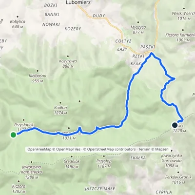 ModerateOne-dayMarkedPrzełęcz Borek Hale Gorcowskievia RzekiElevation profile685–1 228 m14.8 kmascent 568 m≈ 5 h walkingunder 1 km from Gorc
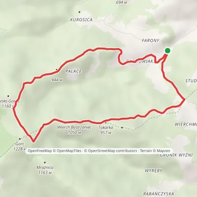 ModerateOne-dayMarkedZasadne Walking Trail ZasadneElevation profile601–1 196 m8.8 kmascent 595 m≈ 3.5 h walkingunder 1 km from Gorc
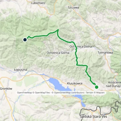 HardMulti-dayMarkedGrywałd Polana GabrowskaElevation profile506–1 288 m29.5 kmascent 1 624 m≈ 10.5 h walkingunder 1 km from Gorc
Nearby attractions
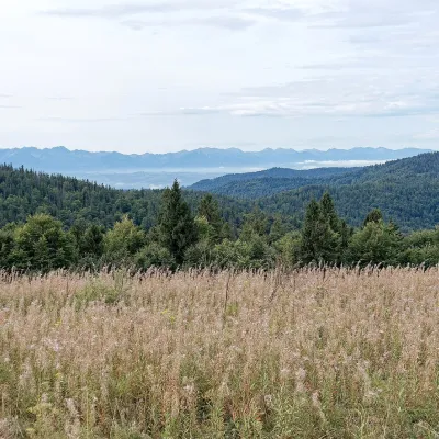 Mountain meadowGorc Kamienicki GladeZasadnealtitude 1 150 munder 1 km from GorcPolana Gorc Kamienicki is a mountain glade on the northern ridge of Gorc (1,228 m) in the eastern Gorce, at 1,120–1,150 m.
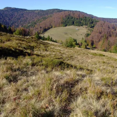 PeakPrzysłop (Gorce)Ochotnica Górnaaltitude 1 187 m3.9 km from GorcPrzysłop is a 1,187 m summit in the Gorce mountains of southern Poland, in the Gorc range between Jaworzyna Kamienicka (1,288 m) and Gorc (1,228 m).
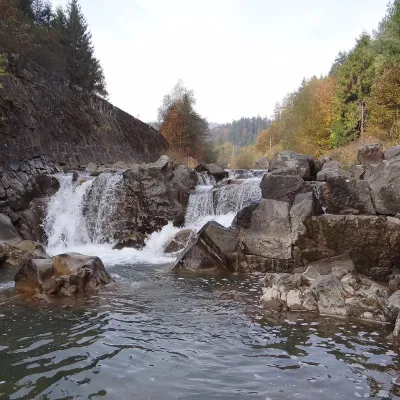 WaterfallSpad Waterfall, SzczawaSzczawa6.9 km from GorcSpad is a natural waterfall on the Kamienica Gorczańska, a left tributary of the Dunajec, in the village of Szczawa on the border of the Gorce and the Island Beskids ...
Craft nearby
All craft places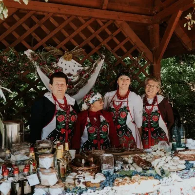 Markets & fairsFruit Harvest Festival in Łącko: village stands, fruit and folkloreŁącko13 km from GorcŁącko, in the Dunajec valley between Stary Sącz and the Pieniny, is one of Poland's best-known fruit-growing areas: the slopes around are covered with apple, pear and...
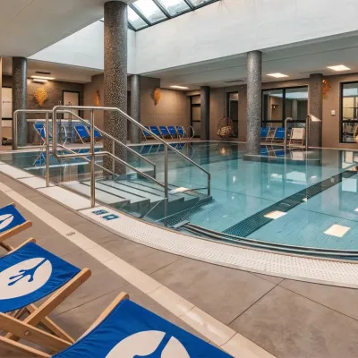 Water parks & thermal poolsTermy Gorce thermal bathsNiedźwiedź14 km from GorcTermy Gorce is a small, cosy thermal complex in the village of Poręba Wielka, in the municipality of Niedźwiedź, at the foot of the Gorce Mountains.
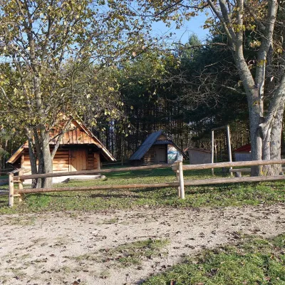 Cheese dairies & pasturesMajerz Meadow Shepherd's Hut, Pieniny National Park: oscypek and żętycaKrośnica15 km from GorcMajerz meadow (hala) sits on a 689 m hill between Czorsztyn-Nadzamcze and the village of Hałuszowa, above Lake Czorsztyn.
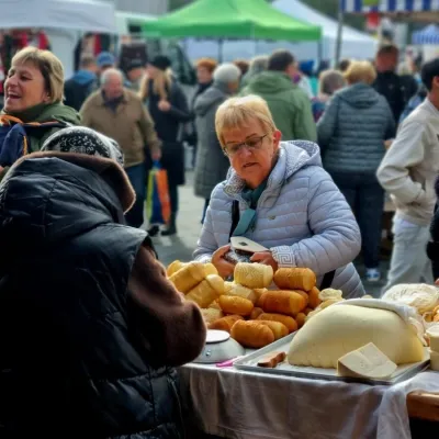 Markets & fairsNowy Targ Fair (Nowa Targowica)Nowy Targ17 km from GorcThe fair in Nowy Targ is the largest and oldest market in Podhale. On Thursdays and Saturdays highlanders from the surrounding villages, Slovaks from across the border...
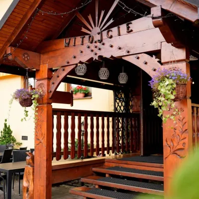 Koliby & Hutsul cuisineKarcma u Borzanka, Nowy Targ: highland food in an 18th-century innNowy Targ18 km from GorcKarcma u Borzanka is a highland tavern in the oldest coaching inn of Nowy Targ, the capital of Podhale.
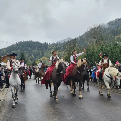 Markets & fairsAutumn Redyk in Szczawnica: sheep drive, oscypek and shepherdsSzczawnica22 km from GorcRedyk is an old Carpathian shepherding custom: in spring the flocks are driven up to the mountain pastures (hale), and in autumn, after the cheese-making season, they...
