Zasadne Walking Trail – Zasadne
Trail map
Route, springs and shelters: © OpenStreetMap contributors (ODbL) · elevation: Copernicus DEM © DLR e.V., © Airbus DS · Data & licences
About the trail
Route Zasadne Walking Trail – Zasadne. Has red marking (local route). Waymarking data: OpenStreetMap (© OpenStreetMap contributors, ODbL).
Officially marked local tourist route. Marking is red, sign — horizontal stripe on a white background. Length of the route — 8.8 km, the route is circular. Location: mountain range — Gorce, Poland.
At a glance
A one-day loop route of 8.8 km with 595 m of ascent, starting and finishing at Zasadne Walking Trail. Estimated walking time: about 3 h, not counting stops. Difficulty: moderate. Waymarking: red.
Route stages
- 0–4.5 kmClimb of 560 m to Wierch Bystrzaniec (1,050 m)
- 4.5–9 kmDescent of 570 m (down to 607 m)
Steepest kilometre: km 5–6, a descent of 190 m (≈19%), near Bacówka Shelter.
Water and overnight stays
A spring near the trail: at km 4.5.
Huts and shelters near the trail: Bacówka Shelter, 1 149 m (km 5).
When to go
Best time: May to October. In winter deep snow is possible, so experience and winter gear are needed.
Getting there
Start: Zasadne Walking Trail. This is a loop: it brings you back to the start.
FAQ
- How long does the route take?
- Estimated walking time: about 3 h, not counting stops.
- Is there water on the route?
- A spring near the trail: at km 4.5.
- Where can I stay overnight?
- Huts and shelters near the trail: Bacówka Shelter, 1 149 m (km 5).
Water and shelter on the route
- Spring below Gorckm 4.4 from the start · Not verified · 1 192 m
- U żłoba Springkm 4.9 from the start · 60 m off the path · Not verified · 1 129 m
- Bacówka Shelter, 1 149 mkm 5.1 from the start · 150 m off the path · Not verified · 1 149 m
Comments
Trails nearby
All trails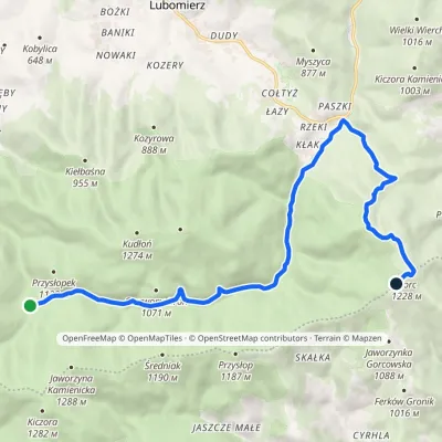 ModerateOne-dayMarkedPrzełęcz Borek Hale Gorcowskievia RzekiElevation profile685–1 228 m14.8 kmascent 568 m≈ 5 h walking
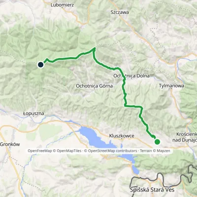 HardMulti-dayMarkedGrywałd Polana GabrowskaElevation profile506–1 288 m29.5 kmascent 1 624 m≈ 10.5 h walking
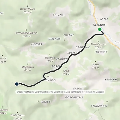 EasyOne-dayMarkedSzczawa Nowa PolanaElevation profile512–849 m5.1 kmascent 333 m≈ 2 h walking
Craft nearby
All craft places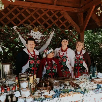 Markets & fairsFruit Harvest Festival in Łącko: village stands, fruit and folklore10 km from the trailŁącko, in the Dunajec valley between Stary Sącz and the Pieniny, is one of Poland's best-known fruit-growing areas: the slopes around are covered with apple, pear and...
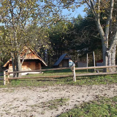 Cheese dairies & pasturesMajerz Meadow Shepherd's Hut, Pieniny National Park: oscypek and żętyca16 km from the trailMajerz meadow (hala) sits on a 689 m hill between Czorsztyn-Nadzamcze and the village of Hałuszowa, above Lake Czorsztyn.
 Water parks & thermal poolsTermy Gorce thermal baths16 km from the trailTermy Gorce is a small, cosy thermal complex in the village of Poręba Wielka, in the municipality of Niedźwiedź, at the foot of the Gorce Mountains.
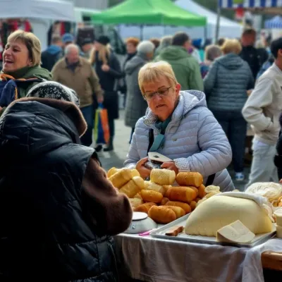 Markets & fairsNowy Targ Fair (Nowa Targowica)20 km from the trailThe fair in Nowy Targ is the largest and oldest market in Podhale. On Thursdays and Saturdays highlanders from the surrounding villages, Slovaks from across the border...
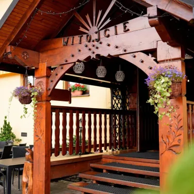 Koliby & Hutsul cuisineKarcma u Borzanka, Nowy Targ: highland food in an 18th-century inn21 km from the trailKarcma u Borzanka is a highland tavern in the oldest coaching inn of Nowy Targ, the capital of Podhale.
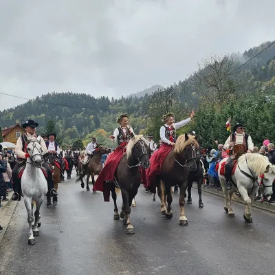 Markets & fairsAutumn Redyk in Szczawnica: sheep drive, oscypek and shepherds21 km from the trailRedyk is an old Carpathian shepherding custom: in spring the flocks are driven up to the mountain pastures (hale), and in autumn, after the cheese-making season, they...
