Zamkowa Góra
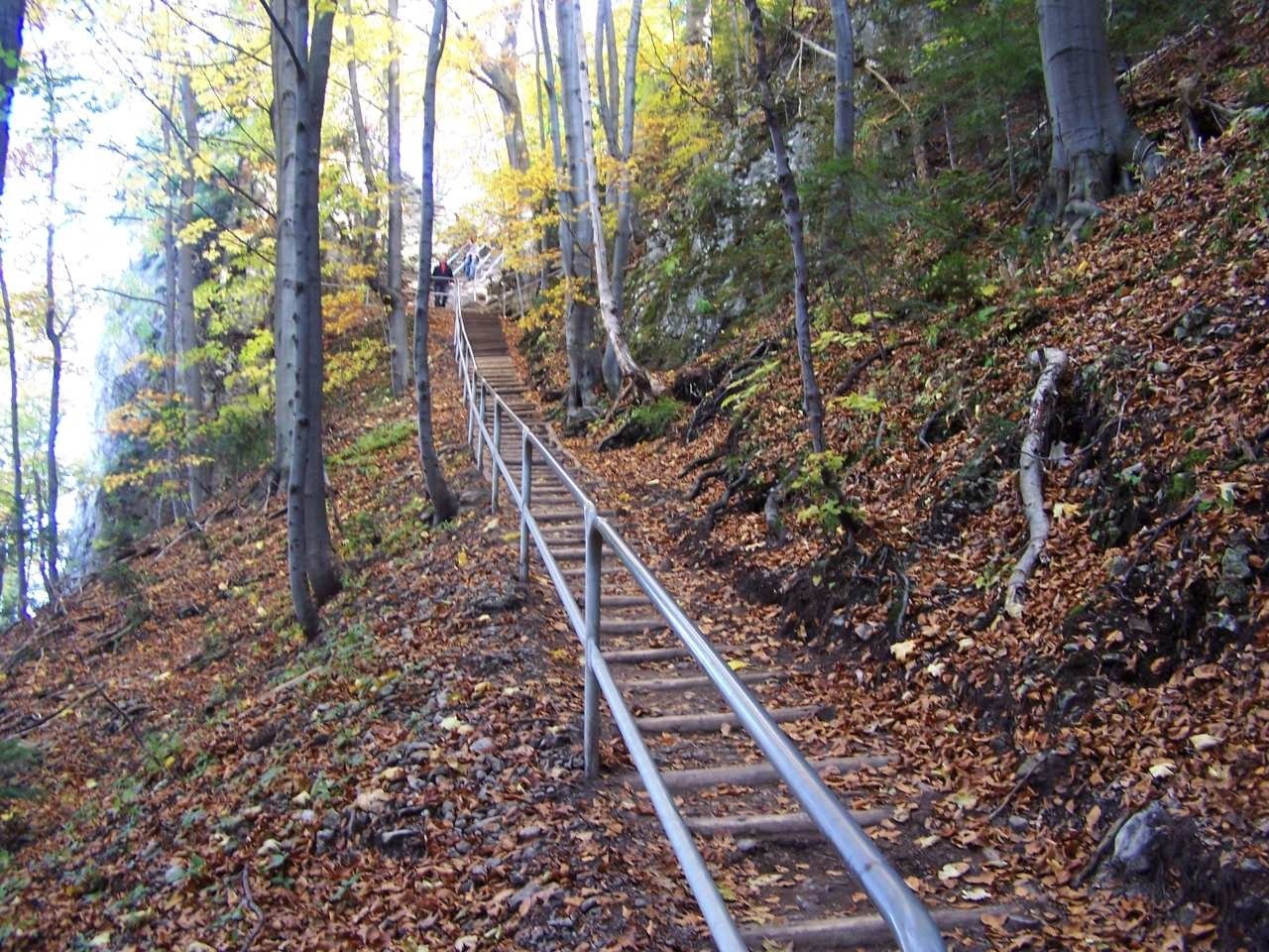
Zamkowa Góra (“Castle Hill”) is a summit of about 799 m at the end of the north-eastern spur of the Trzy Korony massif in the Central Pieniny. Older literature called it “Blessed Kinga's Mountain”. It lies in the Pieniny National Park within Krościenko nad Dunajcem (Nowy Targ County, Lesser Poland); central Krościenko is about 2.2 km to the north and the summit of Trzy Korony less than 1 km to the south-west. The main reason to come here is the ruin of the medieval Pieniny Castle (St Kinga's Castle) and the grotto of St Kinga on the northern slope.
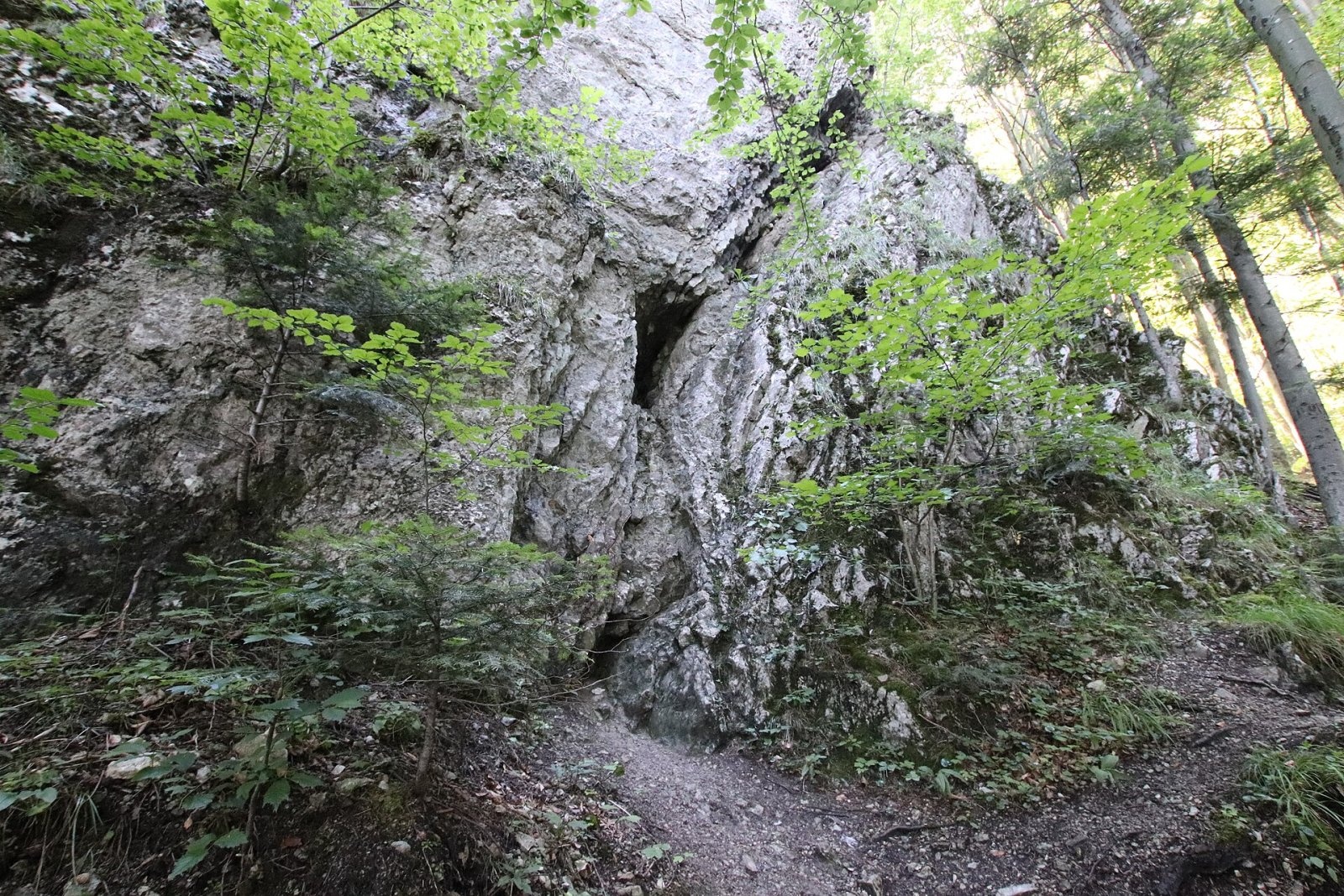
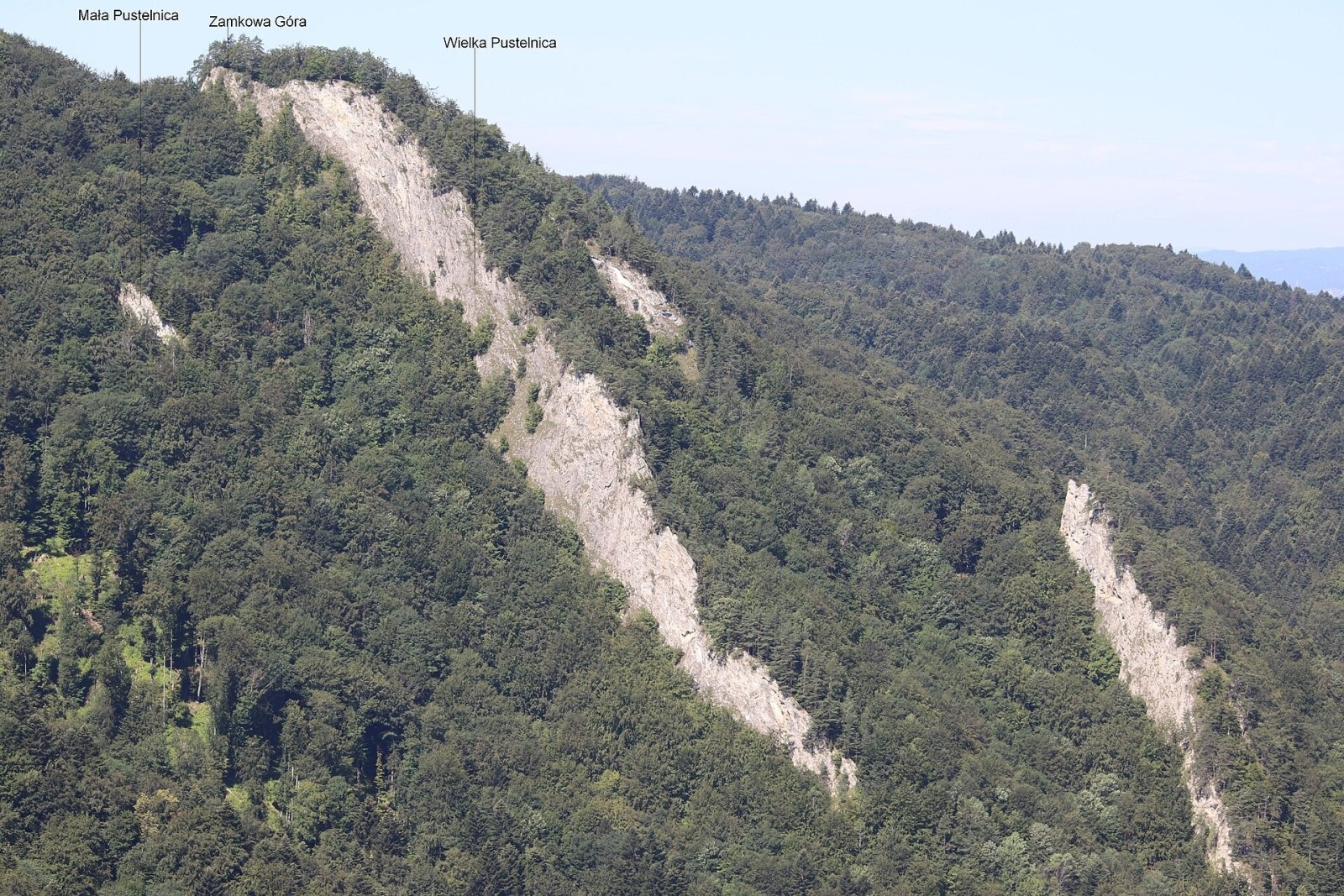
On three sides the hill has steep, hard-to-reach slopes; only to the south does a narrow ridge connect it via the Zamkowa pass with Ostry Wierch and the rest of the massif. The north-eastern slopes drop in two ribs to the Pieniński Potok, which separates the hill from the Pieninki; the ribs carry the Mała and Wielka Pustelnica rocks, and the latter hides the Pieniny Cave. The southern side is cut by a cliff about 50 m high.
How to get there / routes
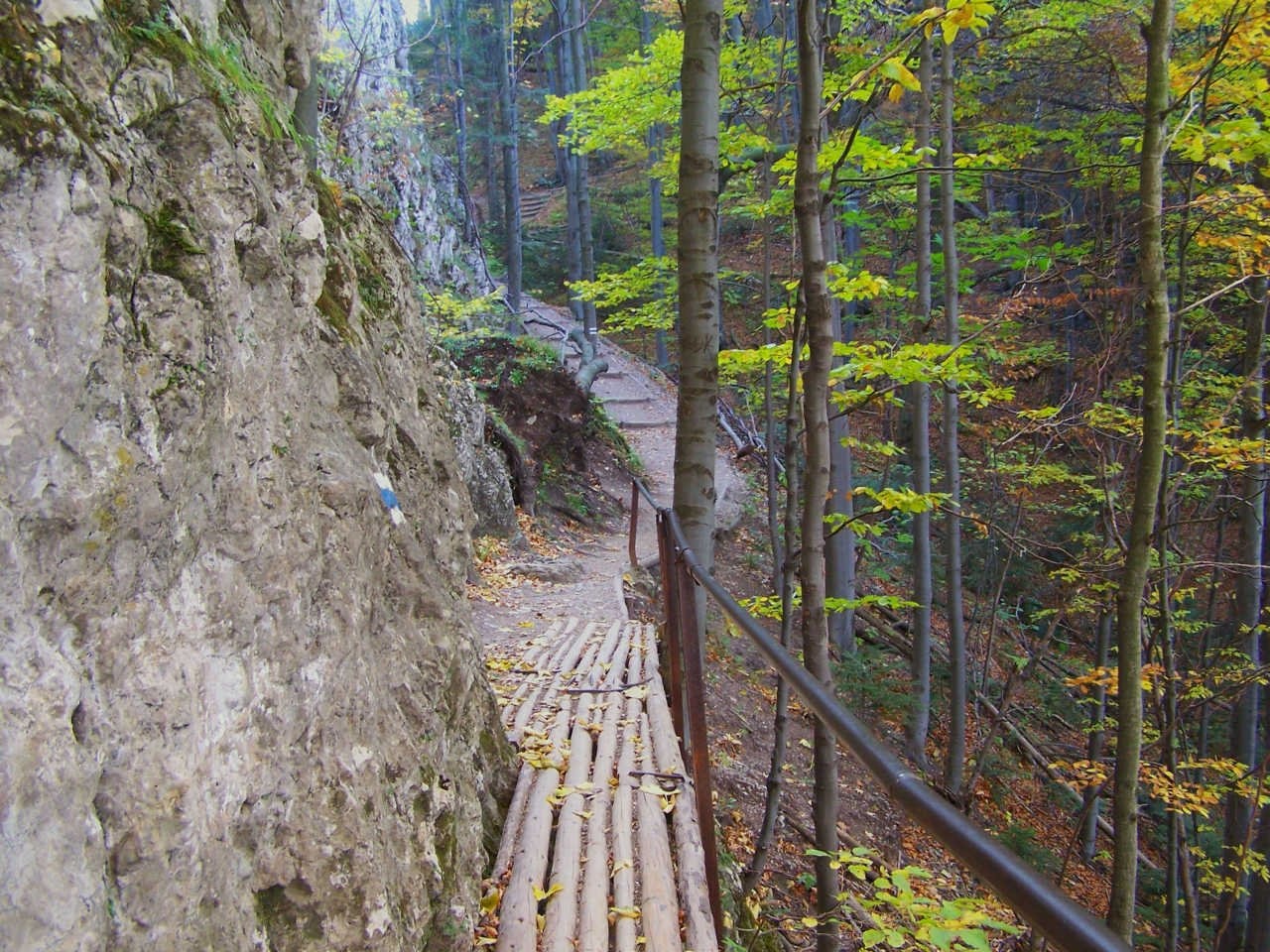
The blue Main Pieniny Trail (part of the E3) passes the hill on the section from Szczawnica via the Nowy Przewóz ferry, Sokolica, Czertezik, Czerteż, Bajków Groń and Zamkowa Góra, then over Ostry Wierch and Siodło to Trzy Korony; the whole section from Szczawnica takes about 4 hours, and you can return by the shorter route via the Szopka pass. Stone steps, built in the early 20th century from stones of the castle walls, lead from the trail to the ruins. From the west, from the deep ravine of the Huliński Potok, a path climbs to the ruins and ends with long stairs with handrails (75 wooden and 37 stone steps). The highest point itself is now closed to visitors and wooded.
What you can see from the summit
The top is forested, so there is no view from it; from the castle ruins you can see the Pieninki ridge. It used to be different: in the early 20th century a hermit made a path from the ruins to the summit, and in 1930 Kazimierz Sosnowski described benches and an enchanting Pieniny landscape from which the blue waters of the Dunajec showed in three places.
Nature and history
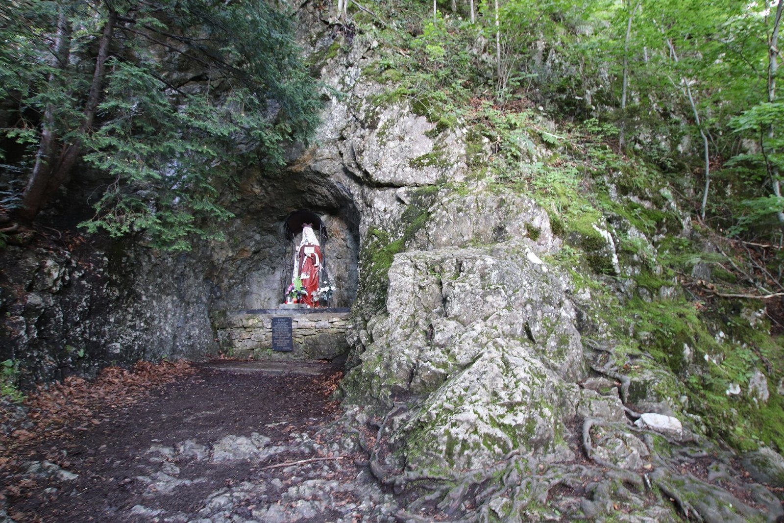
The castle was probably built in the early 1280s and is linked with Duchess Kinga, who wanted a refuge for the Poor Clares' convent of Stary Sącz. During the third Tatar invasion Kinga and the nuns did shelter here. It is one of the oldest stone castles in Poland and an example of a high-mountain refuge castle: it could hold a hundred people and several dozen soldiers, and the cliffs on the east, south and west made it almost impregnable and hard to spot from the valleys. The remains of the fortifications lie at 740–760 m, which probably makes it the highest stone castle in the Polish Carpathians. Its later history is poorly documented; most researchers think it was abandoned and destroyed in the 14th or early 15th century. Next to the ruins is the grotto of St Kinga with her statue, a place of pilgrimage.
Above the Pieniny Cave, on a ridge about 100 m high, lie the so-called “Kinga's Gardens” – lush patches of rock vegetation with lime-loving plants such as Zawadzki's chrysanthemum, alpine aster and superb pink; pale yellow corydalis and the rare Müller's helleborine also occur. The steep walls hold one of the largest stands of yew in the Pieniny. Today's beech forest grew on the site of a pine forest that burned in a two-week fire in 1915.
Safety, season and rules
The path to the ruins is short, but the steep stairs are slippery after rain and in winter; stay on marked paths and keep off the rocks – the southern wall drops about 50 m. Entry to the Pieniny National Park is free, but strict rules apply: walk only on marked trails (no climbing on rocks, no stepping onto meadows or beyond railings), stay in the park only in daytime – from an hour before sunrise to an hour after sunset – and do not bring dogs, fly drones, camp or light fires. The Dunajec ferry in Szczawnica runs only in the warm season (roughly May to October according to guides), so in winter Zamkowa Góra is easier to reach from Krościenko via the Szopka pass.
The Pieniny are covered by the mountain rescue service GOPR (Podhale group, stations in Szczawnica and Krościenko): call 985 or +48 601 100 300, or 112; installing the «Ratunek» app is a good idea.
Interesting facts
- In 1926 a bell inscribed with a prayer for peace and concord between the estates was hung by the southern cliff; the hermit rang it for the Angelus.
- Edelweiss grows by the ruins – possibly a relic of 19th-century transplanting experiments by the Tatra Society.
- Water from the spring that fed the castle cistern later came to be regarded as healing.
Photos: Andrzej Otrębski, CC BY-SA 4.0; Andrzej Otrębski, CC BY-SA 4.0; Andrzej Otrębski, napisy: Jerzy Opioła, CC BY 4.0; Jerzy Opioła, CC BY-SA 3.0; Jerzy Opioła, CC BY-SA 3.0 — Wikimedia Commons.
Getting there from Ukraine
Border crossings
- Krakovets – Korczowa — road, 24/7
- Shehyni – Medyka — road, 24/7 Pedestrian crossing is not confirmed by the Ukrainian border service — check dpsu.gov.ua before the trip.
- Smilnytsia – Krościenko — road, 24/7
- Hrushiv – Budomierz — road, 24/7
- Mostyska – Przemyśl (rail) — rail, 24/7
By car
Lviv – Szczawnica ≈384 km, ≈5 h 25 min without queues: M-10 → Krakovets – Korczowa → A4 to Brzesko (≈198 km) → DK75 to Nowy Sącz → DW969 via Stary Sącz and Łącko to Krościenko nad Dunajcem → Szczawnica. ≈306 km, ≈4 h from the border.
Checked 23.10.2026; border crossing hours and timetables change — check before you travel.
Location on the map
Water and shelter nearby
- Pieniński Potok Spring900 m · Not verified · 678 m
- Drinking water below Długi Gronik1.7 km · Not verified · 487 m
- Trzy Korony Hut1.7 km · Standing · 470 m
- Drinking water below Kláštorná hora (west slope), 464 m2 km · Not verified · 464 m
- Drinking water below Gródek2.1 km · Not verified · 424 m
- Drinking water below Klejowa2.1 km · Not verified · 463 m
- Drinking water below Kláštorná hora (west slope), 459 m2.2 km · Not verified · 459 m
- Ziemroźka Mineral Spring2.4 km · Not verified · 424 m
- Spring below Biała Skała2.4 km · Not verified · 438 m
- Orlica Hut2.7 km · Standing · 457 m
- Spring below Klejowa (south slope)2.8 km · Not verified · 438 m
Comments
Trails nearby
All trails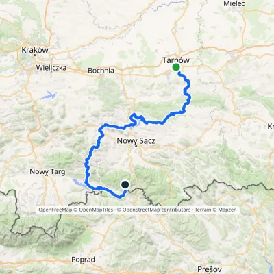 HardMulti-dayMarkedTarnów Wielki RogaczElevation profile206–1 211 m191.5 kmascent 6 941 munder 1 km from Zamkowa Góra
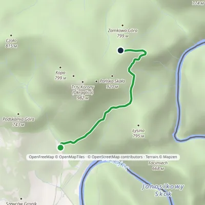 EasyOne-dayMarkedSromowce Niżne KosarzyskaElevation profile486–829 m2.1 kmascent 343 m≈ 1 h walkingunder 1 km from Zamkowa Góra
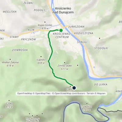 EasyOne-dayMarkedKrościenko nad Dunajcem BurzanaElevation profile424–774 m3 kmascent 352 m≈ 1.5 h walkingunder 1 km from Zamkowa Góra
Nearby attractions
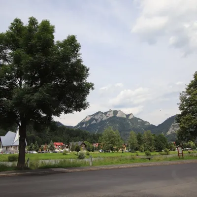 PeakTrzy Koronyaltitude 982 munder 1 km from Zamkowa GóraTrzy Korony (“Three Crowns”, Slovak Tri Koruny) is a 982 m mountain, the highest summit of the Central Pieniny and the best-known peak of the whole range.
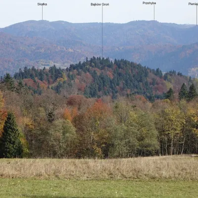 PeakBajków Grońaltitude 716 munder 1 km from Zamkowa GóraBajków Groń (also simply Groń) is a wooded 716 m summit in the western part of the Pieninki, a ridge of the Pieniny proper, inside the Pieniny National Park.
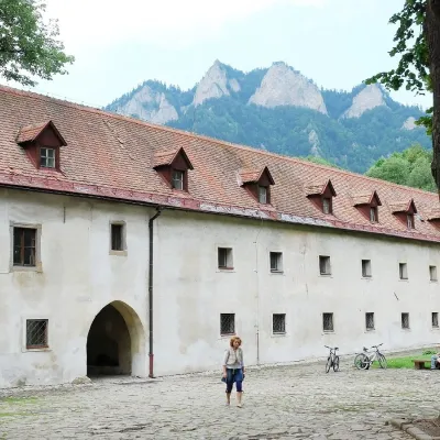 MuseumČervený Kláštor — Carthusian monastery in the Pieniny2.3 km from Zamkowa GóraA monastery of “silent” monks on the Dunajec Červený Kláštor (“Red Monastery”) is a village and former monastery on the Slovak bank of the Dunajec, right opposite the...
Craft nearby
All craft places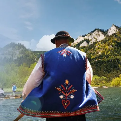 Ethno tours & guidesGoral raftsmen of Červený Kláštor: wooden-raft trip on the Dunajec2.7 km from Zamkowa GóraBetween Červený Kláštor and Lesnica the Dunajec cuts a deep, winding gorge through the limestone Pieniny, and here the river becomes the border between Slovakia and...
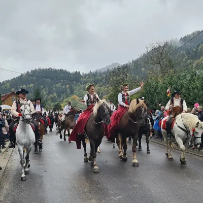 Markets & fairsAutumn Redyk in Szczawnica: sheep drive, oscypek and shepherds2.8 km from Zamkowa GóraRedyk is an old Carpathian shepherding custom: in spring the flocks are driven up to the mountain pastures (hale), and in autumn, after the cheese-making season, they...
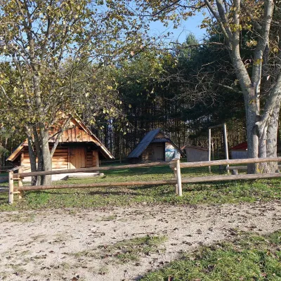 Cheese dairies & pasturesMajerz Meadow Shepherd's Hut, Pieniny National Park: oscypek and żętyca6.5 km from Zamkowa GóraMajerz meadow (hala) sits on a 689 m hill between Czorsztyn-Nadzamcze and the village of Hałuszowa, above Lake Czorsztyn.
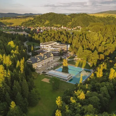 Water parks & thermal poolsVyšné Ružbachy Spa: Izabela Mountain Pools and Indoor Thermal Pool16 km from Zamkowa GóraVyšné Ružbachy is one of Slovakia’s oldest spas. It lies on the south-eastern slope of the Spišská Magura at about 617 m, surrounded by coniferous forest that merges...
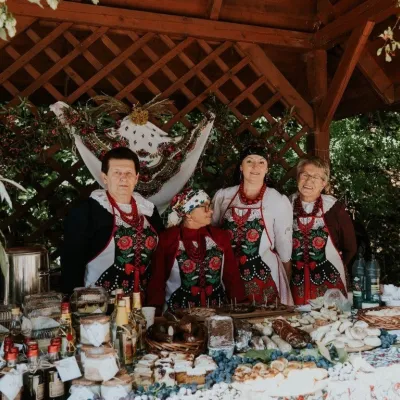 Markets & fairsFruit Harvest Festival in Łącko: village stands, fruit and folklore16 km from Zamkowa GóraŁącko, in the Dunajec valley between Stary Sącz and the Pieniny, is one of Poland's best-known fruit-growing areas: the slopes around are covered with apple, pear and...
 Craft producersNestville Distillery, Hniezdne — Home of the First Slovak Whisky21 km from Zamkowa GóraThis tradition is the basis for BGV, a company founded in 2001, which built the Nestville Distillery here.
