Czoło
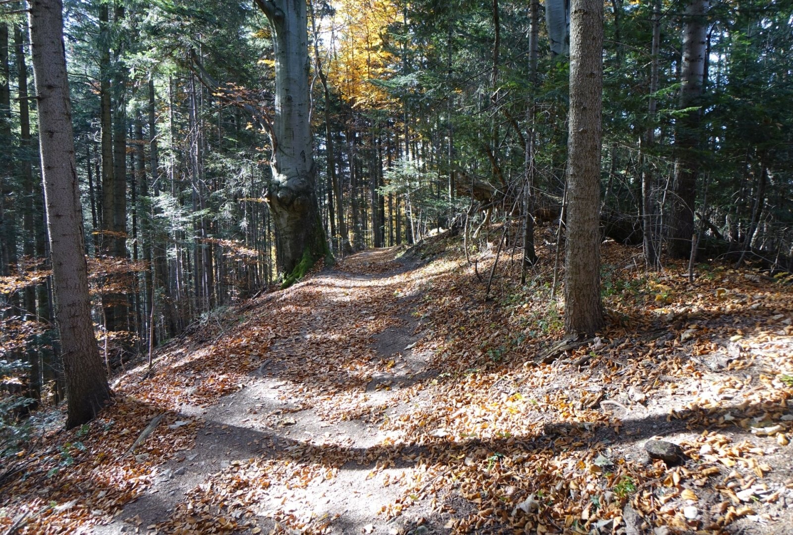
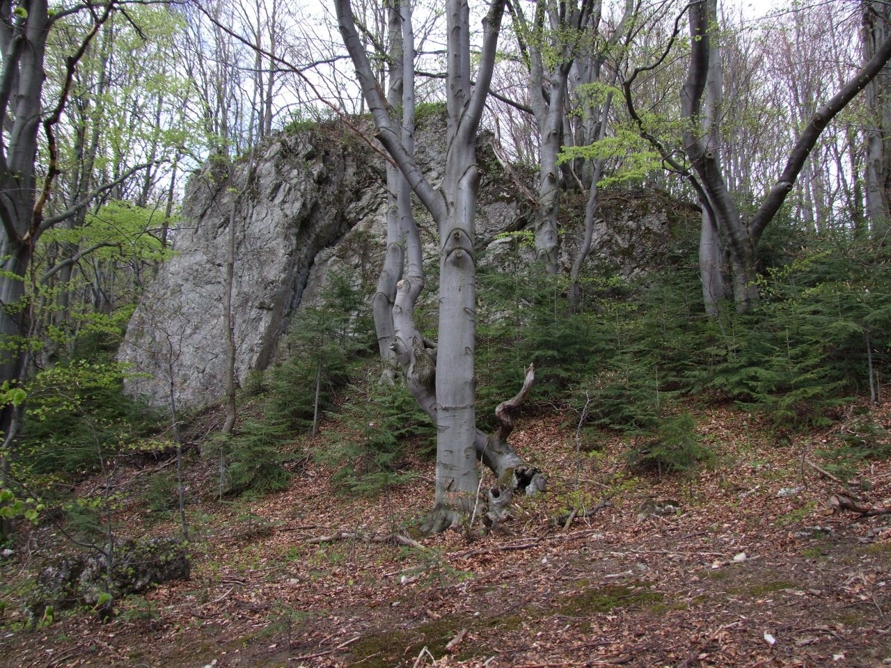
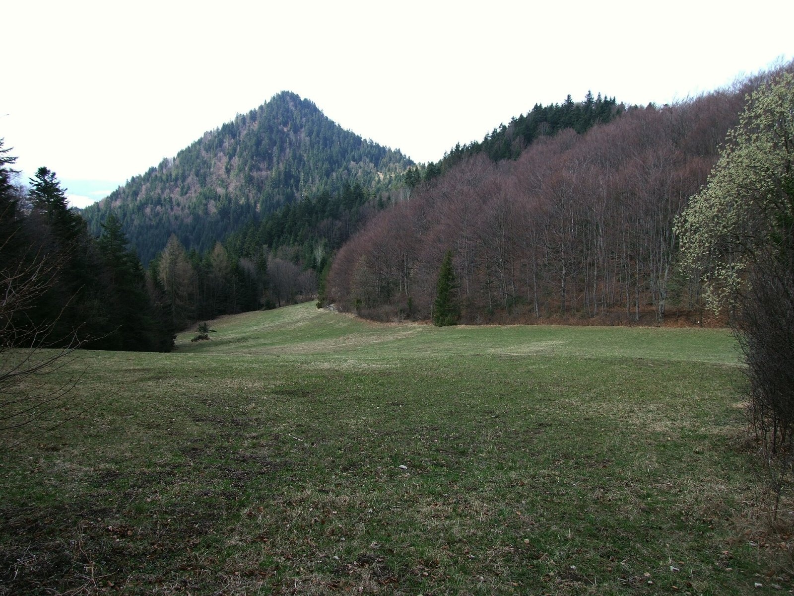
Czoło ("forehead" in Polish) is a modest 815 m summit in the Pieniny proper, the easternmost top on the main ridge of the Czorsztyn Pieniny. The mountain lies entirely within the Pieniny National Park; the ridge marks the boundary between Sromowce Niżne (Czorsztyn municipality, southern slope) and Krościenko nad Dunajcem (northern slope) in Nowy Targ County, Lesser Poland Voivodeship. To the west Czoło borders on Łączana, while on the east the Szopka pass (779 m), only 400 m away, separates it from the Trzy Korony massif, whose summit is about 1 km away. Sromowce Niżne is roughly 2.6 km away.
Czoło has two tops: the higher eastern one and the lower western one, from which the Wysoki Dział ridge runs north. A little further west, near the Zakoczył (Czerniawa) pass, the Nowa Góra ridge branches south. Because the mountain sits where ridges diverge in four directions, its slopes are drained by four streams. The gentlest, northern slope falls to the Pieniński Potok valley, while the southern slopes drop steeply to the Szopczański gorge and two small valleys that meet at the Rojowa Skała rock, the southern end of Czoło; their streams feed the Szopczański Potok.
How to get there / routes
- Blue trail – Main Pieniny Trail (part of the Tarnów – Wielki Rogacz route): Czorsztyn – slopes of Macelak – Czoło – Szopka pass – Trzy Korony. The path crosses both tops of Czoło. From Szopka to Czorsztyn via the Trzy Kopce pass, Macelak and the Osice pass takes about 2 h 10 min (2 h 20 min in the opposite direction).
- Yellow trail Sromowce Niżne – Szopczański gorge – Szopka pass: 1 h 15 min up, 1 h 05 min down; it runs along the southern slopes of Czoło.
The Szopka pass is the main trail hub of the Pieniny proper, with routes to Trzy Korony, Czorsztyn, Krościenko and Sromowce Niżne. Most walkers therefore cross Czoło on the way from Czorsztyn to Trzy Korony or back.
The view from the summit
The main top and the southern slope are forested, so there is no panorama from the summit itself. Views open from the glades below: Wielka Dolina and Wydziorki on the northern slopes and Toporzyskowo on the southern side of the main ridge. From the glade at the Szopka pass you can see the Spiš foothills and the Tatras, and from the glade above the pass the Gorce.
Nature and history
The glade at the Szopka pass is covered by the so-called moderately dry Pieniny meadow – an artificial community that developed where forest was cleared several centuries ago; the park mows it. Rare species such as the gladiolus Gladiolus imbricatus, eastern goat's-beard and elder-flowered orchid grow here, and an endangered fungus has been recorded. Near the spring on the northern side of the pass there are rushes, sedges and cotton grass. The Szopka has long been the easiest crossing between Krościenko and Sromowce Niżne; in the mid-19th century the first tourists were driven up in highlanders' carts, and a shelter near the pass was often used overnight by Dunajec raftsmen.
Safety, season and rules
The route over Czoło runs through forest and is easy, but roots and limestone are slippery after rain, and in season the Szopka and Trzy Korony get crowded. Strict rules apply in the Pieniny National Park: walk only on marked trails, stay in the park only in daytime – from an hour before sunrise to an hour after sunset – and do not bring dogs, fly drones, camp or light fires. The trails are free; from 1 April to 15 November only the viewing platform on Trzy Korony charges a fee (10 PLN, reduced 5 PLN). Rules and news are on the Pieniny National Park website.
The Pieniny are covered by the mountain rescue service GOPR (Podhale group): call 985 or +48 601 100 300, or 112; installing the "Ratunek" app is a good idea.
Interesting facts
- The Szopka pass below Czoło is also called "Chwała Bogu" ("Praise God") – possibly from walkers' sigh of relief after the climb.
- Czoło's slopes feed four streams at once, because four ridges meet here.
Photos: Jerzy Opioła, CC BY-SA 4.0; Jerzy Opioła, CC BY-SA 4.0; Jerzy Opioła, CC BY-SA 4.0 — Wikimedia Commons.
Getting there from Ukraine
Border crossings
- Krakovets – Korczowa — road, 24/7
- Shehyni – Medyka — road, 24/7 Pedestrian crossing is not confirmed by the Ukrainian border service — check dpsu.gov.ua before the trip.
- Smilnytsia – Krościenko — road, 24/7
- Hrushiv – Budomierz — road, 24/7
- Mostyska – Przemyśl (rail) — rail, 24/7
By car
Lviv – Szczawnica ≈384 km, ≈5 h 25 min without queues: M-10 → Krakovets – Korczowa → A4 to Brzesko (≈198 km) → DK75 to Nowy Sącz → DW969 via Stary Sącz and Łącko to Krościenko nad Dunajcem → Szczawnica. ≈306 km, ≈4 h from the border.
Checked 23.10.2026; border crossing hours and timetables change — check before you travel.
Location on the map
Water and shelter nearby
- Pieniński Potok Spring850 m · Not verified · 678 m
- Trzy Korony Hut1.6 km · Standing · 470 m
- Drinking water below Kláštorná hora (west slope), 464 m2.1 km · Not verified · 464 m
- Drinking water below Kláštorná hora (west slope), 459 m2.2 km · Not verified · 459 m
- Spring below Stronia2.5 km · Not verified · 500 m
- Drinking water below Gródek2.8 km · Not verified · 424 m
- Drinking water below Klejowa2.9 km · Not verified · 463 m
- Drinking water below Długi Gronik3 km · Not verified · 487 m
Comments
Trails nearby
All trails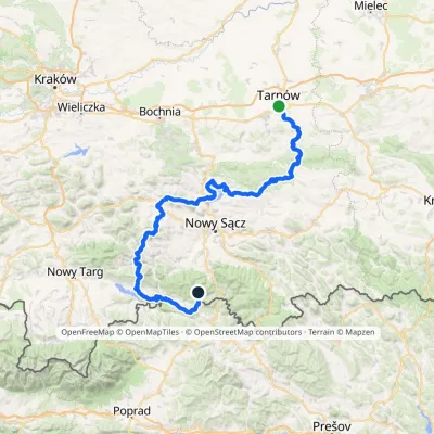 HardMulti-dayMarkedTarnów Wielki RogaczElevation profile206–1 211 m191.5 kmascent 6 941 munder 1 km from Czoło
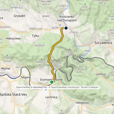 EasyOne-dayMarkedSromowce Niżne Krościenko nad DunajcemElevation profile424–789 m6.5 kmascent 353 m≈ 2.5 h walkingunder 1 km from Czoło
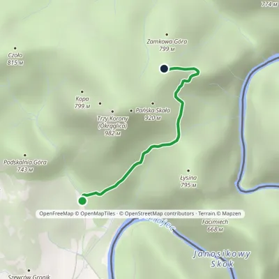 EasyOne-dayMarkedSromowce Niżne KosarzyskaElevation profile486–829 m2.1 kmascent 343 m≈ 1 h walking1.3 km from Czoło
Nearby attractions
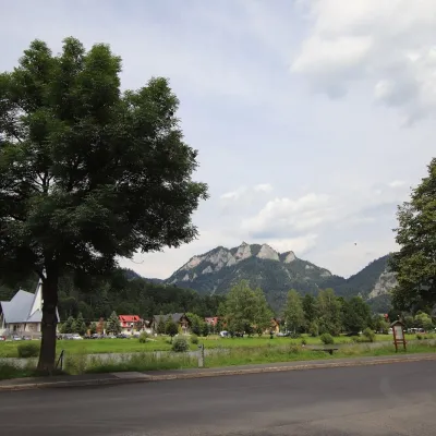 PeakTrzy Koronyaltitude 982 munder 1 km from CzołoTrzy Korony (“Three Crowns”, Slovak Tri Koruny) is a 982 m mountain, the highest summit of the Central Pieniny and the best-known peak of the whole range.
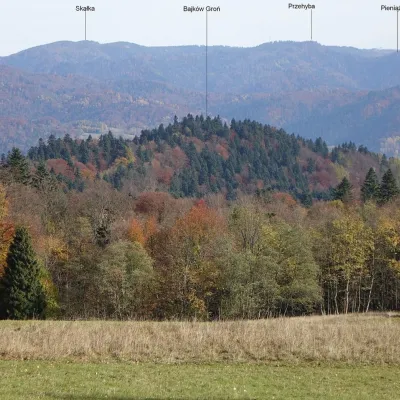 PeakBajków Grońaltitude 716 m1.1 km from CzołoBajków Groń (also simply Groń) is a wooded 716 m summit in the western part of the Pieninki, a ridge of the Pieniny proper, inside the Pieniny National Park.
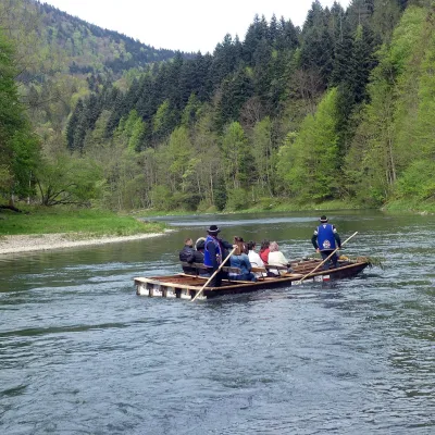 NatureDunajec River Rafting2.8 km from CzołoRafting down the Dunajec is the best-known attraction of the Pieniny and probably of the whole Polish Carpathians.
Craft nearby
All craft places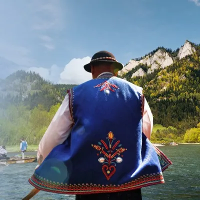 Ethno tours & guidesGoral raftsmen of Červený Kláštor: wooden-raft trip on the Dunajec2.7 km from CzołoBetween Červený Kláštor and Lesnica the Dunajec cuts a deep, winding gorge through the limestone Pieniny, and here the river becomes the border between Slovakia and...
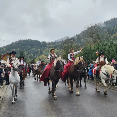 Markets & fairsAutumn Redyk in Szczawnica: sheep drive, oscypek and shepherds4.1 km from CzołoRedyk is an old Carpathian shepherding custom: in spring the flocks are driven up to the mountain pastures (hale), and in autumn, after the cheese-making season, they...
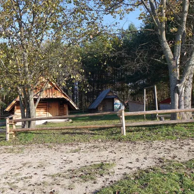 Cheese dairies & pasturesMajerz Meadow Shepherd's Hut, Pieniny National Park: oscypek and żętyca5.3 km from CzołoMajerz meadow (hala) sits on a 689 m hill between Czorsztyn-Nadzamcze and the village of Hałuszowa, above Lake Czorsztyn.
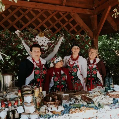 Markets & fairsFruit Harvest Festival in Łącko: village stands, fruit and folklore16 km from CzołoŁącko, in the Dunajec valley between Stary Sącz and the Pieniny, is one of Poland's best-known fruit-growing areas: the slopes around are covered with apple, pear and...
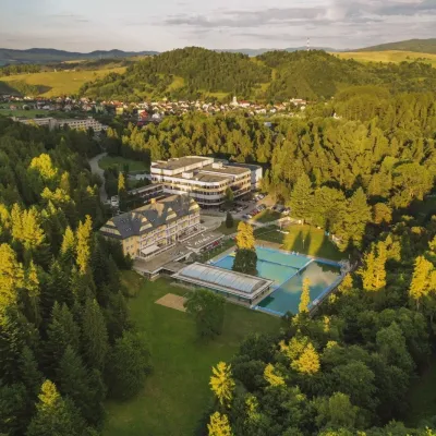 Water parks & thermal poolsVyšné Ružbachy Spa: Izabela Mountain Pools and Indoor Thermal Pool17 km from CzołoVyšné Ružbachy is one of Slovakia’s oldest spas. It lies on the south-eastern slope of the Spišská Magura at about 617 m, surrounded by coniferous forest that merges...
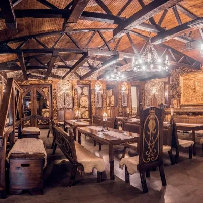 Craft producersNestville Distillery, Hniezdne — Home of the First Slovak Whisky22 km from CzołoThis tradition is the basis for BGV, a company founded in 2001, which built the Nestville Distillery here.
