Huba – below Kotelnica
Trail map
Route, springs and shelters: © OpenStreetMap contributors (ODbL) · elevation: Copernicus DEM © DLR e.V., © Airbus DS · Data & licences
About the trail
Route Huba – below Kotelnica. Has blue marking (regional route, PTTK Krościenko). Waymarking data: OpenStreetMap (© OpenStreetMap contributors, ODbL).
Officially marked regional tourist route. The marking is blue, the sign is a horizontal stripe on a white background. Marked and maintained by: PTTK Krościenko. Length of the route — 3.6 km. Location: mountain range — Gorce, Poland.
At a glance
A short route of 3.6 km with 364 m of ascent from Huba to below Kotelnica. Estimated walking time: about 1.5 h, not counting stops. Difficulty: easy. Waymarking: blue.
Route stages
- 0–3.5 kmClimb of 350 m (up to 912 m)
Steepest kilometre: km 2–3, a climb of 130 m (≈13%).
Water and overnight stays
Our map shows no springs near the trail — bring your own water (at least 1 l).
When to go
The route can be walked most of the year; it is most comfortable from April to October.
Getting there
Start: Huba. This is a one-way route: the finish is 3 km from the start in a straight line, so plan your way back in advance.
FAQ
- How long does the route take?
- Estimated walking time: about 1.5 h, not counting stops.
- Is there water on the route?
- Our map shows no springs near the trail — bring your own water (at least 1 l).
Comments
Trails nearby
All trails
Craft nearby
All craft places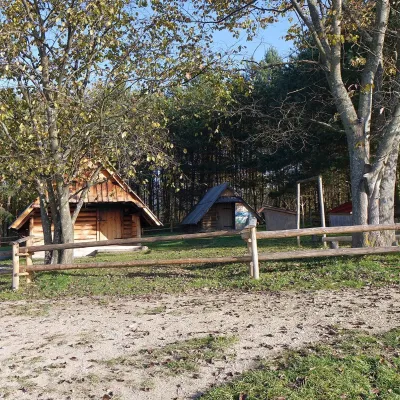 Cheese dairies & pasturesMajerz Meadow Shepherd's Hut, Pieniny National Park: oscypek and żętycaKrośnica8.4 km from the trailMajerz meadow (hala) sits on a 689 m hill between Czorsztyn-Nadzamcze and the village of Hałuszowa, above Lake Czorsztyn.
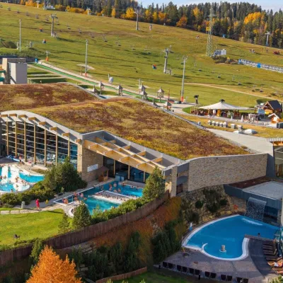 Water parks & thermal poolsTerma BaniaBiałka Tatrzańska13 km from the trailTerma Bania is a large thermal water park in the village of Białka Tatrzańska, at the foot of the Kotelnica ski slope.
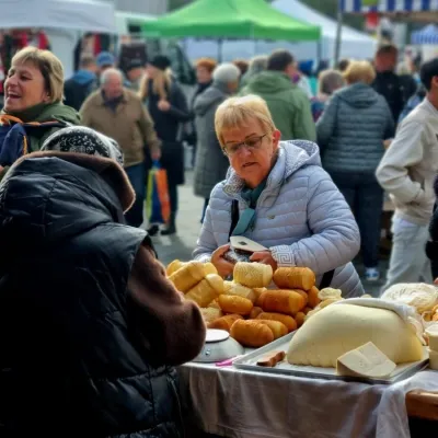 Markets & fairsNowy Targ Fair (Nowa Targowica)Nowy Targ13 km from the trailThe fair in Nowy Targ is the largest and oldest market in Podhale. On Thursdays and Saturdays highlanders from the surrounding villages, Slovaks from across the border...
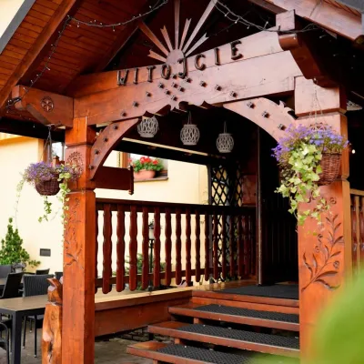 Koliby & Hutsul cuisineKarcma u Borzanka, Nowy Targ: highland food in an 18th-century innNowy Targ13 km from the trailKarcma u Borzanka is a highland tavern in the oldest coaching inn of Nowy Targ, the capital of Podhale.
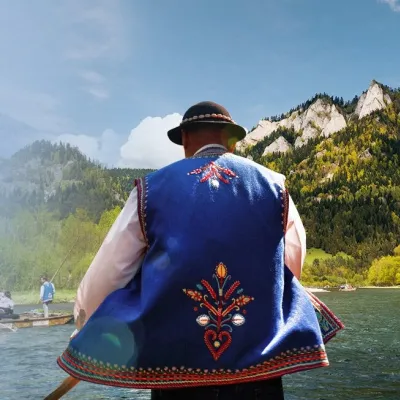 Ethno tours & guidesGoral raftsmen of Červený Kláštor: wooden-raft trip on the DunajecČervený Kláštor16 km from the trailBetween Červený Kláštor and Lesnica the Dunajec cuts a deep, winding gorge through the limestone Pieniny, and here the river becomes the border between Slovakia and...
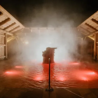 Water parks & thermal poolsTermy Gorący Potok (Szaflary)Bańska Niżna17 km from the trailTermy Gorący Potok is a complex of outdoor thermal pools in Szaflary, between Nowy Targ and Zakopane, about 15 km from Zakopane.
