Wdżar
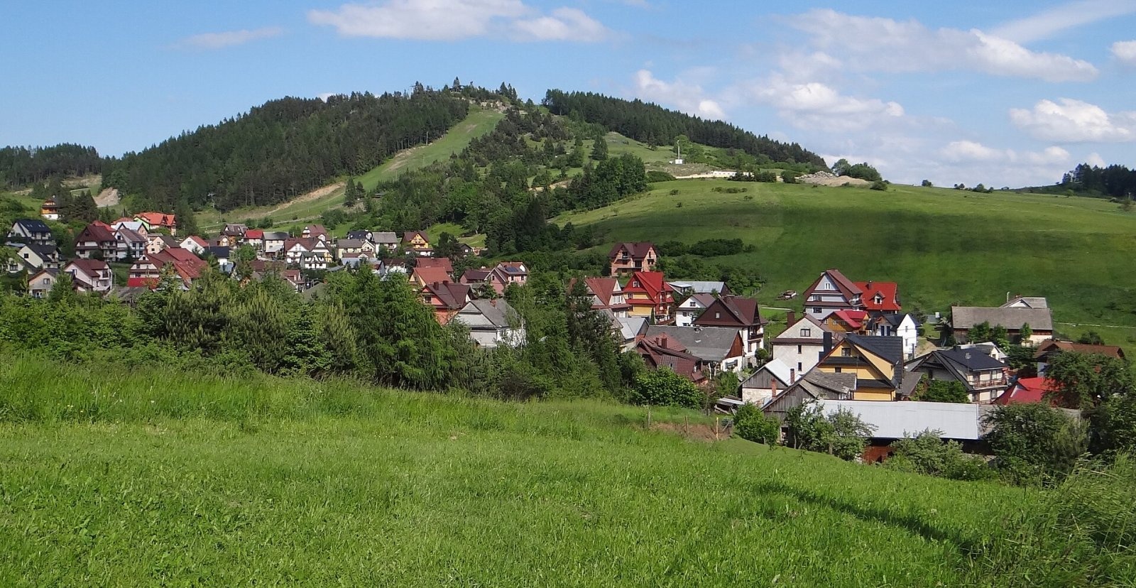
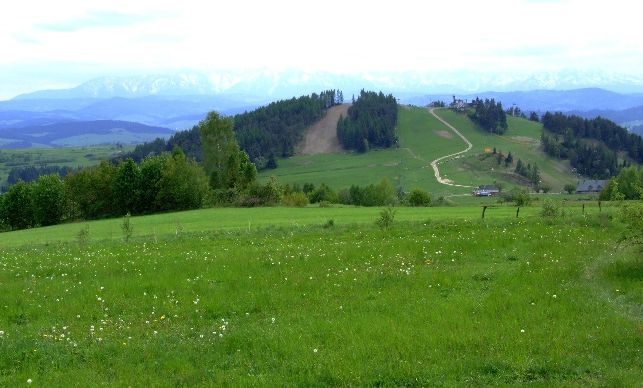
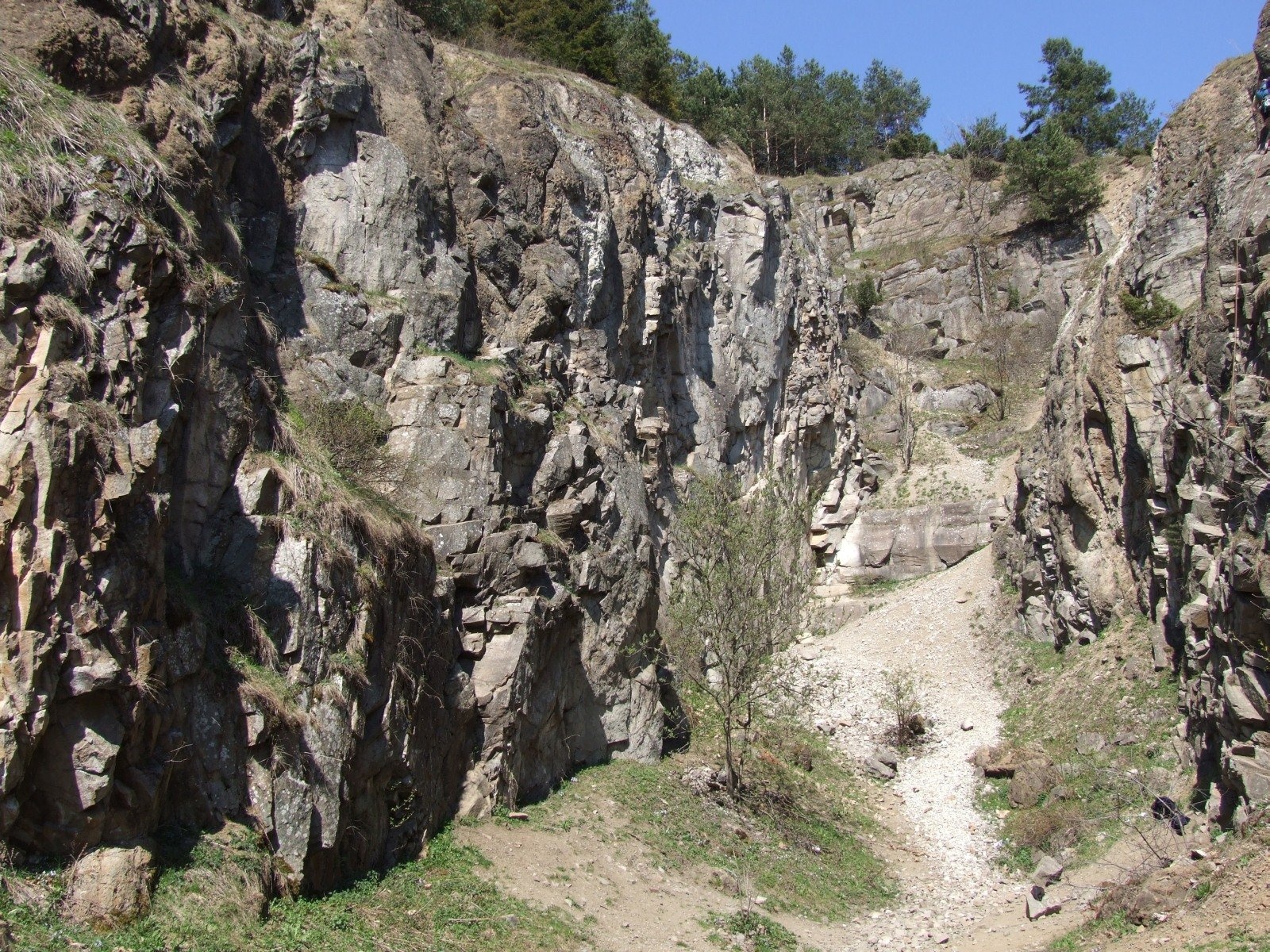
Wdżar is a 767 m mountain above the village of Kluszkowce in the Czorsztyn municipality of Lesser Poland Voivodeship. It stands on the ridge linking the Lubań massif in the Gorce with the Pieniny, between the Drzyślawa and Snozka passes, right above the northern shore of the Czorsztyn reservoir. In Jerzy Kondracki's division Wdżar belongs to the northern transition zone of the Pieniny, but some geographers count it as part of the Gorce, so it is described in guidebooks to both ranges. Its partly treeless, distinctive dome is a landmark of the area.
The name is hard to pronounce, so many forms exist: Wzor, Wżar, Wżary, Żar, Zdżar, Zżar, and on an 1861 map Wzory. Its origin has not been explained.
How to get there / trails
Wdżar lies right next to voivodeship road 969, which makes it one of the most accessible summits in the area:
- the blue trail Snozka Pass – Wdżar – Lubań: about 2 h 40 min to Lubań, about 2 h down;
- an educational path from Kluszkowce through the Papal Gorge to the summit, about 30 min; it also opens the old Tylka and Lisi Łom quarries to visitors.
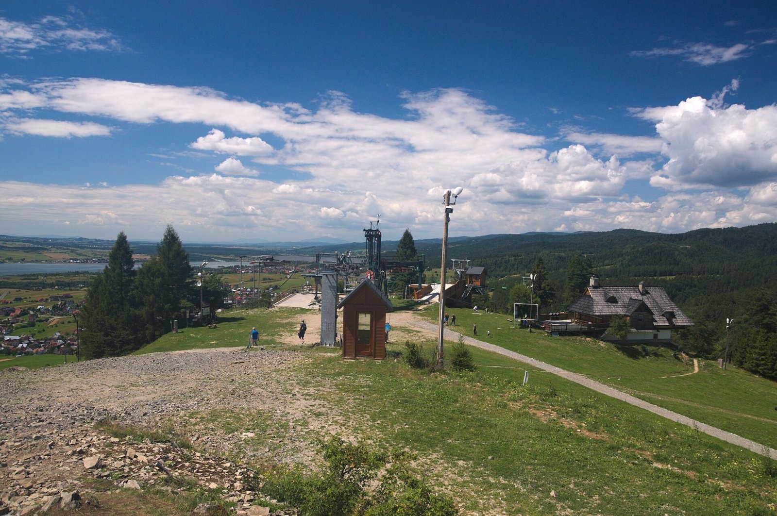
The chairlift of the Czorsztyn-Ski resort also runs from Kluszkowce to the top.
The view from the top
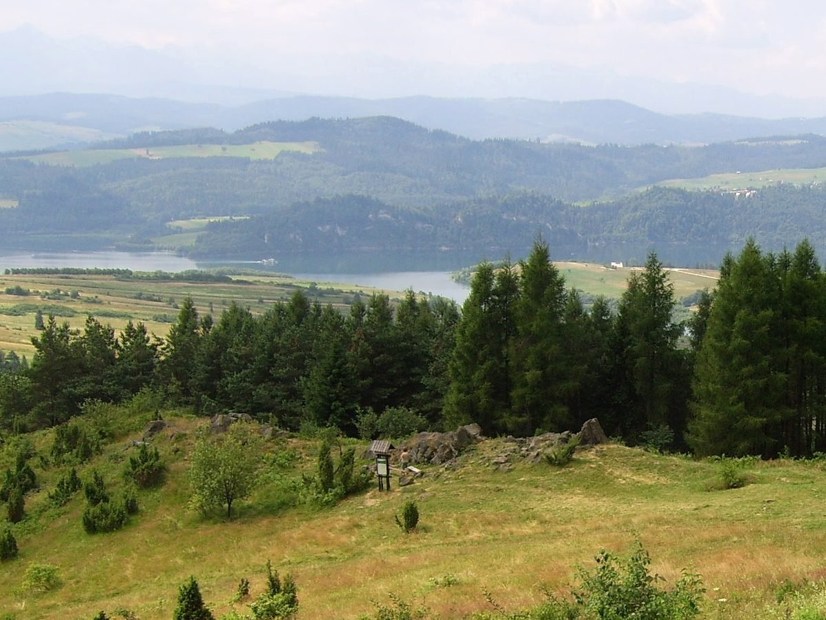
The summit offers a wide panorama: to the south-east the Sądecki Beskids, the Pieniny proper and the Little Pieniny; to the south and south-west the Spiš Pieniny, Spiš Magura, the Tatras, Podhale and Orava, and further the Żywiec Beskids. To the north rises the Lubań massif in the Gorce, and Lake Czorsztyn shines below.
Nature and history
Wdżar is a special place geologically. It is one of a few places in the area, along with Jarmuta and Bryjarka, where a volcanic igneous rock, Pieniny andesite, occurs. Originally there were only flysch sediments here, sandstones and shales of the Szczawnica formation of the Magura nappe, but in the Miocene magma intruded into them twice, forming more than a hundred small intrusions of older andesite and three of younger andesite. Scientists have studied the mountain for more than a century. It is often marketed as an extinct volcano, but there is no scientific evidence that a volcano ever existed here.
There are three disused quarries on the slopes: Snozka on the south and Tylka and Lisi Łom on the north-west. Andesite was quarried here as early as 1873–1877 to build the Czorsztyn – Snozka Pass road, and on a larger scale from 1928 until the 1970s; it was used for boundary posts, cladding, kerbs and steps. The Snozka quarry, 150 m long with walls up to 40 m high, is the best spot for geological observation; today it is private land used by rock climbers.
Just south of the summit stand low, sharp-edged rock towers and «tables», a typical weathering form of andesite. Two rocks marked with red paint show unique magnetic anomalies: a compass needle next to them can even swing round to the opposite direction. Their origin is debated, either palaeomagnetism or lightning strikes. Thanks to the andesite, Wdżar hosts the only site in Poland of the rusty woodsia fern, which grows exclusively on andesite.
Wdżar is one of the official paragliding launch sites and is especially good for thermal flights. One of the first Polish paragliders, Józef Gigoń of Nowy Targ, trained here and set Polish records here: in 1977 for height gain above launch (1160 m) and in 1980 for flight duration (8 h 20 min). On the very summit stands a sculpture of a chained dragon, the «Dragon's Nest».
Safety, season and rules
Wdżar lies outside both the Pieniny National Park and the Gorce National Park. It can be visited all year round, but in winter its slopes are used by ski runs, so walkers should keep away from the pistes and lifts. Take care near the old quarries: the walls are up to 40 m high, and the Snozka quarry is private land. Mountain rescue here is provided by GOPR: 985 or +48 601 100 300, or the general emergency number 112.
Photos: Jerzy Opioła, CC BY-SA 4.0; Jerzy Opioła, CC BY-SA 4.0; Derbeth, CC BY 4.0; Magda.adgaM, CC BY-SA 3.0; Jerzy Opioła, CC BY-SA 4.0; Zubiro, CC BY-SA 4.0; Paweł Opioła, CC BY-SA 4.0 — Wikimedia Commons.
Getting there from Ukraine
Border crossings
- Krakovets – Korczowa — road, 24/7
- Shehyni – Medyka — road, 24/7 Pedestrian crossing is not confirmed by the Ukrainian border service — check dpsu.gov.ua before the trip.
- Smilnytsia – Krościenko — road, 24/7
- Hrushiv – Budomierz — road, 24/7
- Mostyska – Przemyśl (rail) — rail, 24/7
By car
Lviv – Szczawnica ≈384 km, ≈5 h 25 min without queues: M-10 → Krakovets – Korczowa → A4 to Brzesko (≈198 km) → DK75 to Nowy Sącz → DW969 via Stary Sącz and Łącko to Krościenko nad Dunajcem → Szczawnica. ≈306 km, ≈4 h from the border.
Checked 23.10.2026; border crossing hours and timetables change — check before you travel.
Location on the map
Water and shelter nearby
- Spring below Dudowa Góra2.7 km · Not verified · 750 m
Comments
Trails nearby
All trails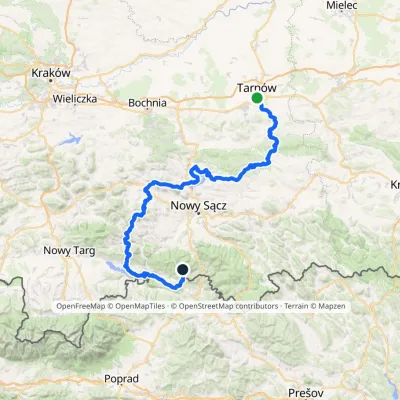 HardMulti-dayMarkedTarnów Wielki RogaczElevation profile206–1 211 m191.5 kmascent 6 941 munder 1 km from Wdżar
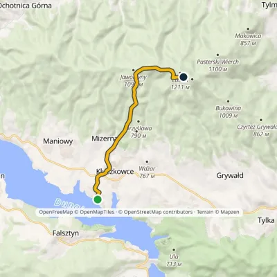 ModerateOne-dayMarkedOsada turystyczna Czorsztyn LubańElevation profile546–1 193 m8.7 kmascent 667 m≈ 3.5 h walking1.5 km from Wdżar
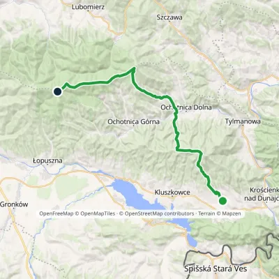 HardMulti-dayMarkedGrywałd Polana GabrowskaElevation profile506–1 288 m29.5 kmascent 1 624 m≈ 10.5 h walking2.2 km from Wdżar
Nearby attractions
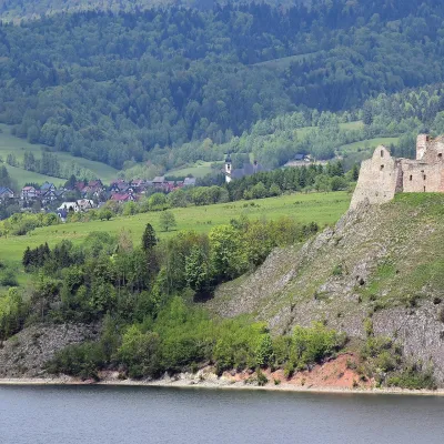 CastleCzorsztyn Castle ruinsCzorsztyn2.4 km from WdżarThe ruins of Czorsztyn Castle rise on a limestone rock above Lake Czorsztyn, on the border between Podhale and the Pieniny mountains.
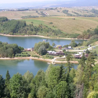 LakeLake CzorsztynFalsztyn3.4 km from WdżarLake Czorsztyn (Jezioro Czorsztyńskie) is a reservoir on the Dunajec river in the Nowy Targ Basin, between the Pieniny and the Gorce.
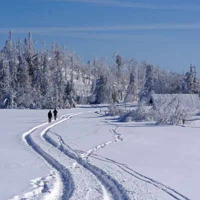 Mountain meadowWierch Lubania GladeKrośnicaaltitude 1 190 m3.9 km from WdżarWierch Lubania is a meadow on the summit of Lubań, the highest mountain of the Lubań range in the south-eastern part of the Gorce.
Craft nearby
All craft places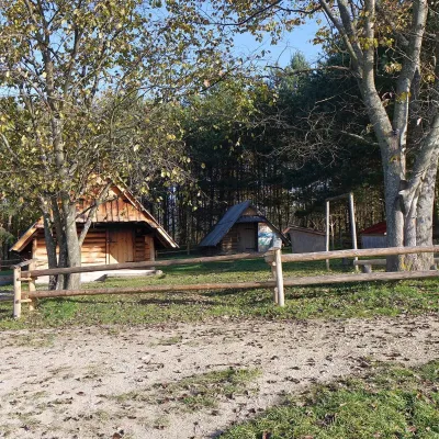 Cheese dairies & pasturesMajerz Meadow Shepherd's Hut, Pieniny National Park: oscypek and żętycaKrośnica2.4 km from WdżarMajerz meadow (hala) sits on a 689 m hill between Czorsztyn-Nadzamcze and the village of Hałuszowa, above Lake Czorsztyn.
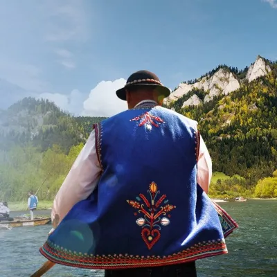 Ethno tours & guidesGoral raftsmen of Červený Kláštor: wooden-raft trip on the DunajecČervený Kláštor9.6 km from WdżarBetween Červený Kláštor and Lesnica the Dunajec cuts a deep, winding gorge through the limestone Pieniny, and here the river becomes the border between Slovakia and...
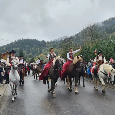 Markets & fairsAutumn Redyk in Szczawnica: sheep drive, oscypek and shepherdsSzczawnica11 km from WdżarRedyk is an old Carpathian shepherding custom: in spring the flocks are driven up to the mountain pastures (hale), and in autumn, after the cheese-making season, they...
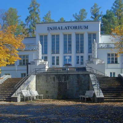 Water parks & thermal poolsSzczawnica spa: pump room, waters and the InhalatoriumSzczawnica13 km from WdżarThe Szczawnica spa (Uzdrowisko Szczawnica) is all about water and air: in the valley of the Grajcarek stream, between the Pieniny and the Beskid Sądecki at 430–500 m,...
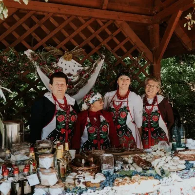 Markets & fairsFruit Harvest Festival in Łącko: village stands, fruit and folkloreŁącko14 km from WdżarŁącko, in the Dunajec valley between Stary Sącz and the Pieniny, is one of Poland's best-known fruit-growing areas: the slopes around are covered with apple, pear and...
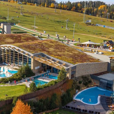 Water parks & thermal poolsTerma BaniaBiałka Tatrzańska18 km from WdżarTerma Bania is a large thermal water park in the village of Białka Tatrzańska, at the foot of the Kotelnica ski slope.
