Lubań
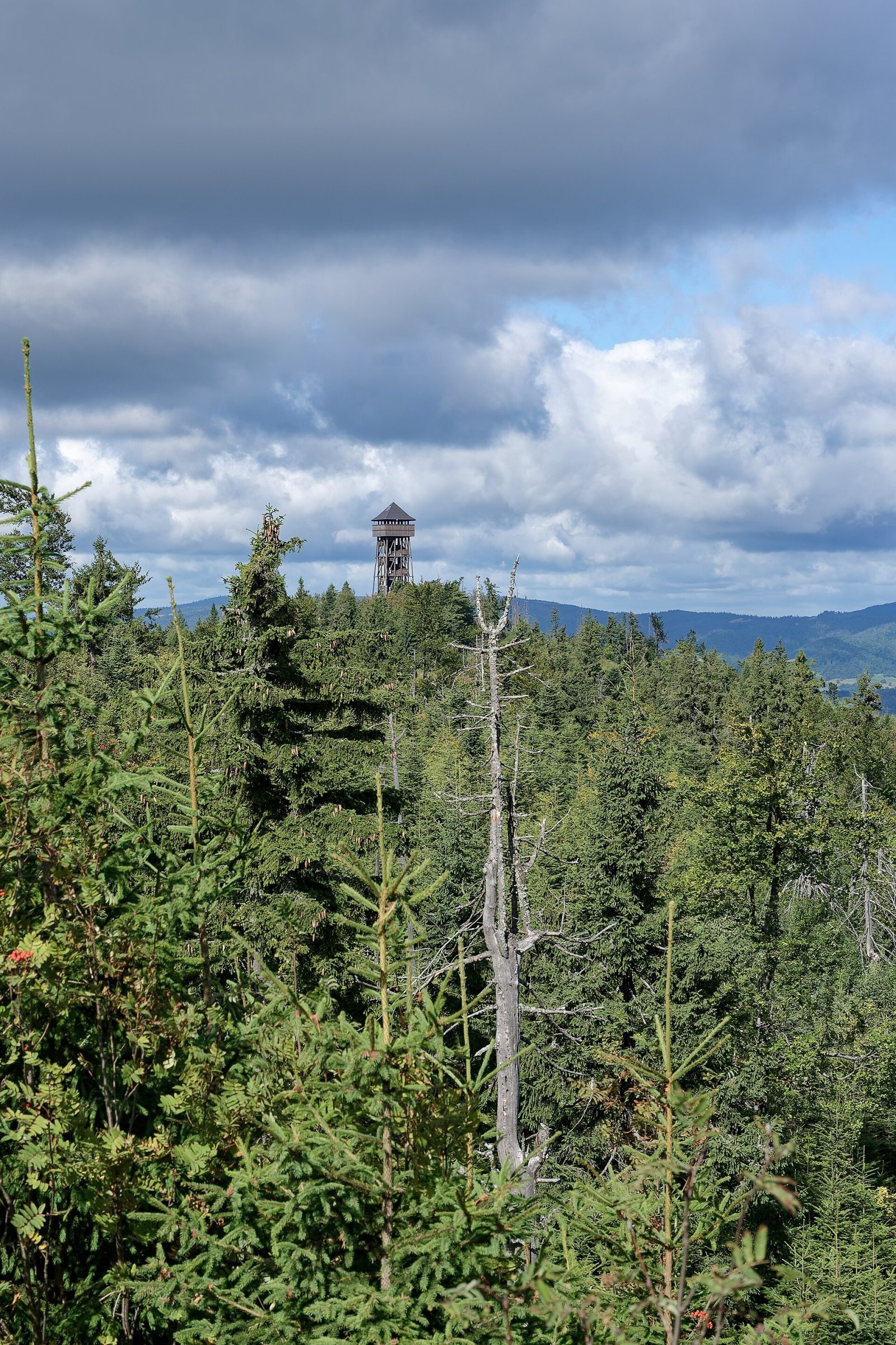
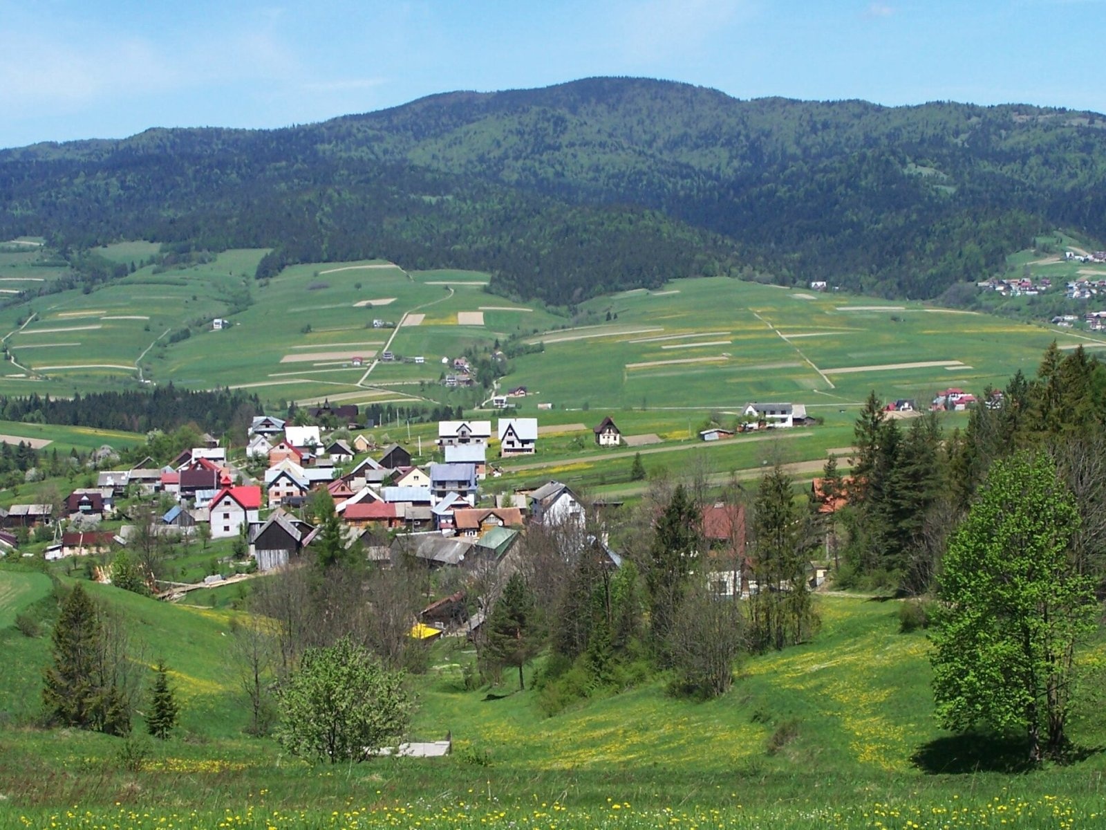
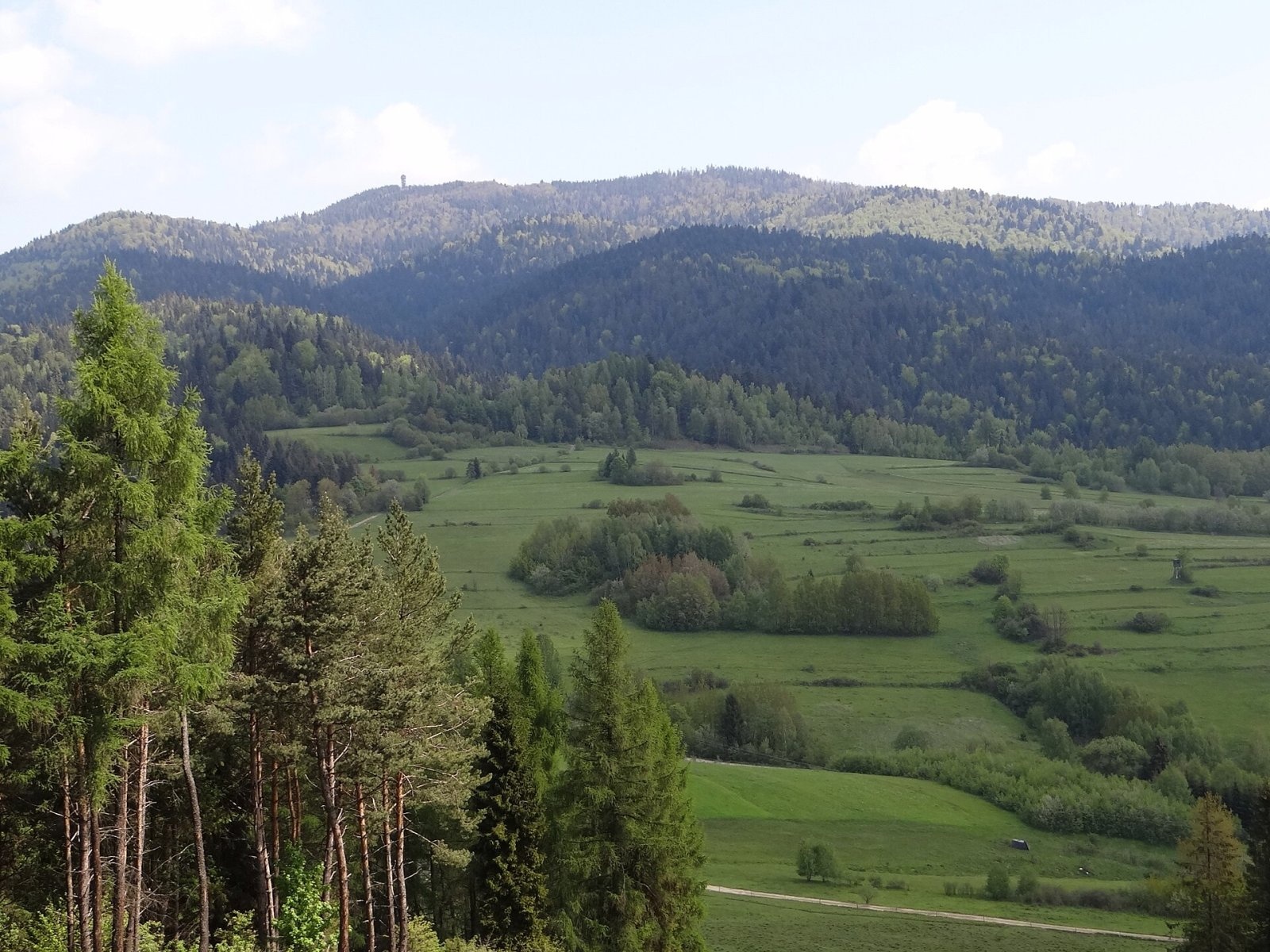
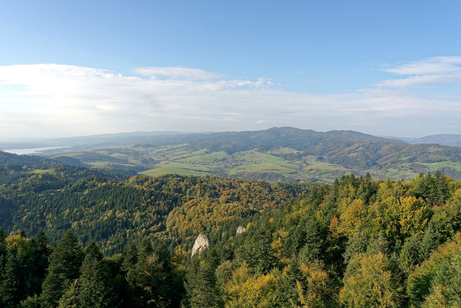
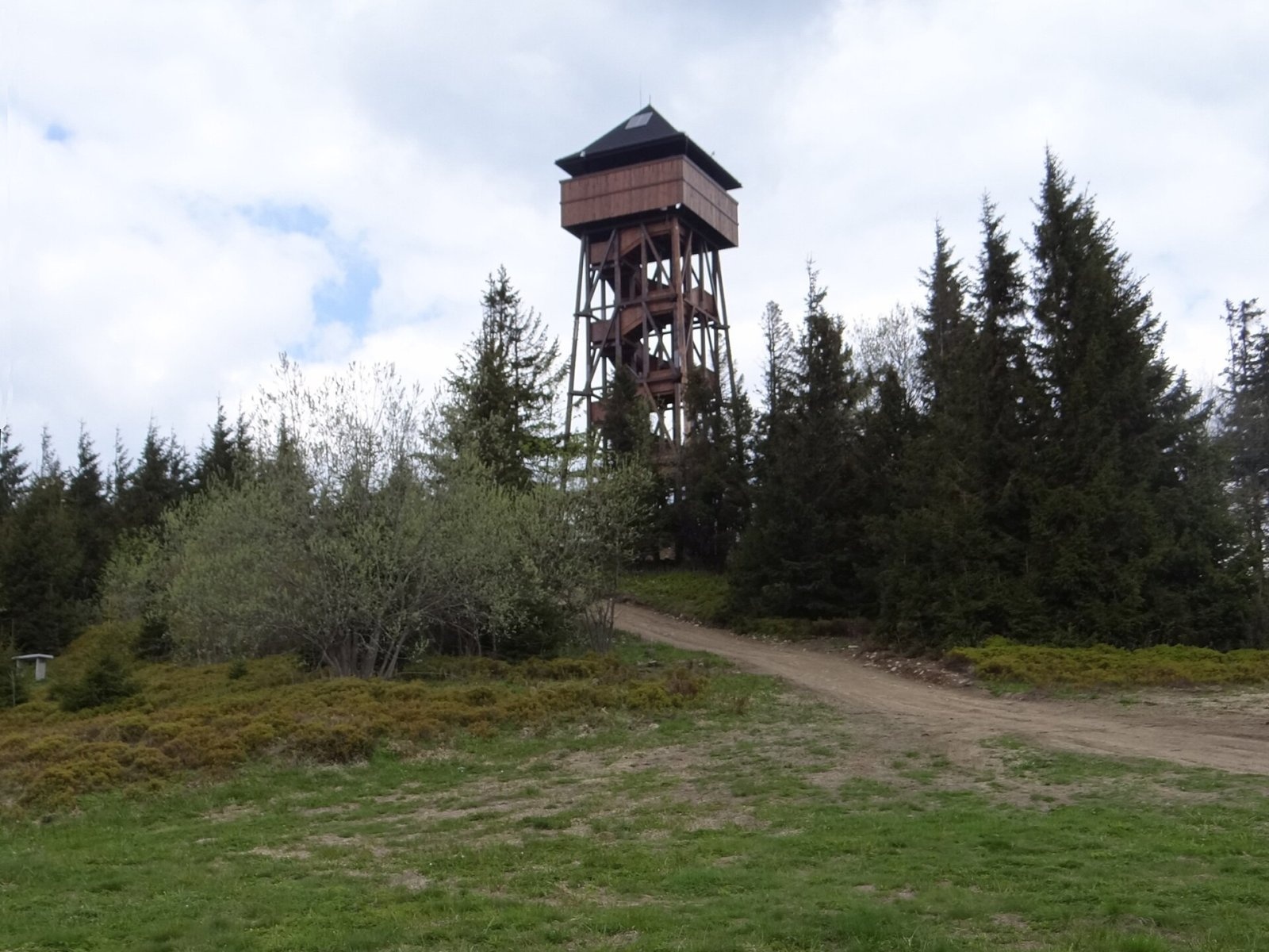
Lubań is the highest summit of the Lubań range in the south-eastern Gorce, 1,211 m high. It is a large forested massif cut by the valleys of several streams, north-west of Szczawnica. Lubań has two tops, both shown as 1,211 m on the Geoportal map: the eastern one (Średni Groń) is overgrown and viewless, while the western one is famous for wide panoramas, especially striking in the early morning. Between them lies the Wierch Lubania meadow, a convenient viewpoint and trail junction. Streams from the northern slopes flow to the Ochotniczanka, those from the southern slopes to the Krośnica or Lake Czorsztyn. To the south Lubań is joined by the much lower Wdżar (767 m), separated by the broad Drzyślawa saddle (650 m).
The western top lies within the village of Krośnica, while the slopes belong to four villages — Ochotnica Dolna, Grywałd, Krośnica and Kluszkowce; Ochotnica Dolna, Grywałd and Tylmanowa meet on Średni Groń (all in Nowy Targ County, Lesser Poland).
How to get there / routes
The red Main Beskid Trail (GSB) crosses the summit on its Krościenko – Knurowska Pass section. According to Polish Wikipedia, approximate ascent times are:
- on the red trail from Krościenko nad Dunajcem via Marszałek — 3 h 10 min (2 h 10 min down); from Knurowska Pass via Runek — 3 h 35 min;
- on the blue Tarnów – Wielki Rogacz trail from Ochotnica Dolna — 2 h 15 min, from Snozka Pass — 2 h 05 min;
- on the green Ochotnica Dolna – Grywałd trail: from Ochotnica 2 h 30 min, from Grywałd 2 h 10 min;
- from Tylmanowa to Średni Groń — 2 h 15 min; from Kluszkowce — 2 h 45 min (yellow trail from the Czorsztyn tourist settlement).
What you can see from the summit
The Wierch Lubania meadow and the western top look out over the Tatras, the Pieniny and the Beskids. In 2015 a 22 m observation tower was built just below the western top; from it you can see, among other things, Lake Czorsztyn and the Little Fatra. The old wooden triangulation tower on Lubań collapsed long ago.
Nature and history
On the southern slopes, east of the Kluszkowianka stream, lies the Modrzewie forest reserve. Rare plants here include the woolly thistle and the melancholy thistle. Below the Wierch Lubania meadow, on the southern slope, Magura sandstones crop out with a rock pulpit called Samorody.
As early as 1860 spa guests from Szczawnica rode peasant carts to below the summit, and in 1912 the first hiking trail from Krościenko was marked. Near Samorody the Tatra Skiers' Society built a hut with about 100 beds in 1936–1939. During the Second World War it served partisans and local people hiding from the Germans; on 24 September 1944 the Germans burned it down, killing two partisans. A small PTTK hut built in 1973–1974 on the Wyrobki clearing burned down in January 1978 — only stone foundations remain. Since the 1960s a student tent camp has operated on the meadow in summer, run by guides of the Kraków Student Mountain Guides' Club.
Safety, season and rules
Lubań is accessible all year. The massif is large and forested, so in fog it is easy to go astray at the many junctions; snow lies long in winter. Water is available only from a small spring on the southern slopes by the trail to Snozka Pass. Do not climb the tower in a thunderstorm. In an emergency call GOPR mountain rescue (Podhale group) on 985 or +48 601 100 300, or 112.
Interesting facts
- Sources disagree on the height: the information board on the summit and the "Gorce" guidebook give 1,225 m, while the Geoportal terrain model gives 1,210.7 m for Lubań and 1,211.6 m for Średni Groń.
- Legend says that after a shepherd-sorcerer's curse a whole flock sank underground with its shepherds, and on St James's Day (25 July) their cries and sheep bells can still be heard.
Photos: Jakub Hałun, CC BY 4.0; Jerzy Opioła, CC BY-SA 3.0; Jerzy Opioła, CC BY-SA 4.0; Jakub Hałun, CC BY-SA 4.0; Jerzy Opioła, CC BY-SA 4.0; Jakub Hałun, CC BY-SA 4.0; Jakub Hałun, CC BY 4.0 — Wikimedia Commons.
Getting there from Ukraine
Border crossings
- Krakovets – Korczowa — road, 24/7
- Shehyni – Medyka — road, 24/7 Pedestrian crossing is not confirmed by the Ukrainian border service — check dpsu.gov.ua before the trip.
- Smilnytsia – Krościenko — road, 24/7
- Hrushiv – Budomierz — road, 24/7
- Mostyska – Przemyśl (rail) — rail, 24/7
By car
Lviv – Szczawnica ≈384 km, ≈5 h 25 min without queues: M-10 → Krakovets – Korczowa → A4 to Brzesko (≈198 km) → DK75 to Nowy Sącz → DW969 via Stary Sącz and Łącko to Krościenko nad Dunajcem → Szczawnica. ≈306 km, ≈4 h from the border.
Checked 23.10.2026; border crossing hours and timetables change — check before you travel.
Location on the map
Water and shelter nearby
- Drinking water below Lubań260 m · Not verified · 1 156 m
Comments
Trails nearby
All trails HardMulti-dayMarkedMain Trail of BeskidyElevation profile309–1 723 m499.9 kmascent 19 519 munder 1 km from Lubań
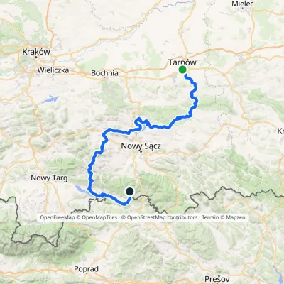 HardMulti-dayMarkedTarnów Wielki RogaczElevation profile206–1 211 m191.5 kmascent 6 941 munder 1 km from Lubań
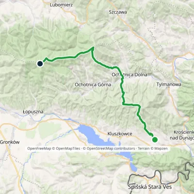 HardMulti-dayMarkedGrywałd Polana GabrowskaElevation profile506–1 288 m29.5 kmascent 1 624 m≈ 10.5 h walkingunder 1 km from Lubań
Nearby attractions
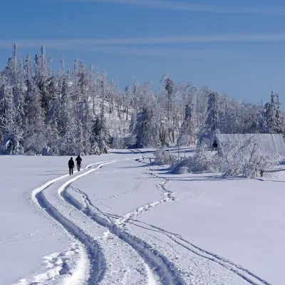 Mountain meadowWierch Lubania GladeKrośnicaaltitude 1 190 munder 1 km from LubańWierch Lubania is a meadow on the summit of Lubań, the highest mountain of the Lubań range in the south-eastern part of the Gorce.
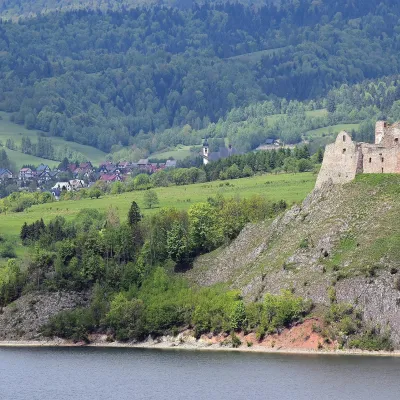 CastleCzorsztyn Castle ruinsCzorsztyn6.3 km from LubańThe ruins of Czorsztyn Castle rise on a limestone rock above Lake Czorsztyn, on the border between Podhale and the Pieniny mountains.
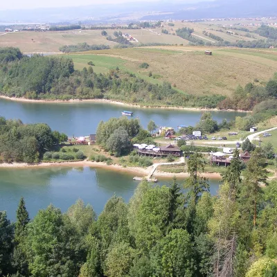 LakeLake CzorsztynFalsztyn6.9 km from LubańLake Czorsztyn (Jezioro Czorsztyńskie) is a reservoir on the Dunajec river in the Nowy Targ Basin, between the Pieniny and the Gorce.
Craft nearby
All craft places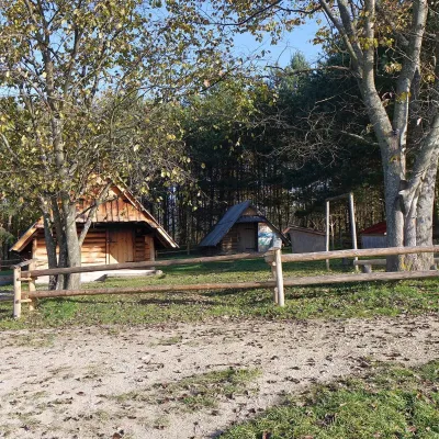 Cheese dairies & pasturesMajerz Meadow Shepherd's Hut, Pieniny National Park: oscypek and żętycaKrośnica5.9 km from LubańMajerz meadow (hala) sits on a 689 m hill between Czorsztyn-Nadzamcze and the village of Hałuszowa, above Lake Czorsztyn.
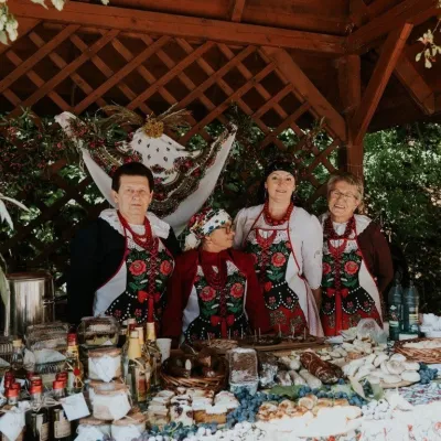 Markets & fairsFruit Harvest Festival in Łącko: village stands, fruit and folkloreŁącko11 km from LubańŁącko, in the Dunajec valley between Stary Sącz and the Pieniny, is one of Poland's best-known fruit-growing areas: the slopes around are covered with apple, pear and...
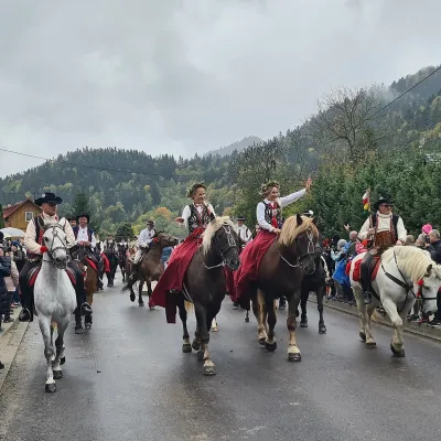 Markets & fairsAutumn Redyk in Szczawnica: sheep drive, oscypek and shepherdsSzczawnica11 km from LubańRedyk is an old Carpathian shepherding custom: in spring the flocks are driven up to the mountain pastures (hale), and in autumn, after the cheese-making season, they...
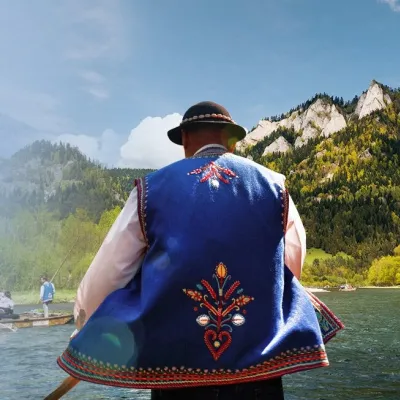 Ethno tours & guidesGoral raftsmen of Červený Kláštor: wooden-raft trip on the DunajecČervený Kláštor12 km from LubańBetween Červený Kláštor and Lesnica the Dunajec cuts a deep, winding gorge through the limestone Pieniny, and here the river becomes the border between Slovakia and...
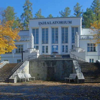 Water parks & thermal poolsSzczawnica spa: pump room, waters and the InhalatoriumSzczawnica13 km from LubańThe Szczawnica spa (Uzdrowisko Szczawnica) is all about water and air: in the valley of the Grajcarek stream, between the Pieniny and the Beskid Sądecki at 430–500 m,...
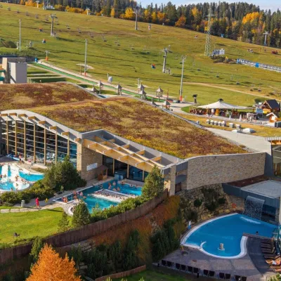 Water parks & thermal poolsTerma BaniaBiałka Tatrzańska21 km from LubańTerma Bania is a large thermal water park in the village of Białka Tatrzańska, at the foot of the Kotelnica ski slope.
