Turbacz
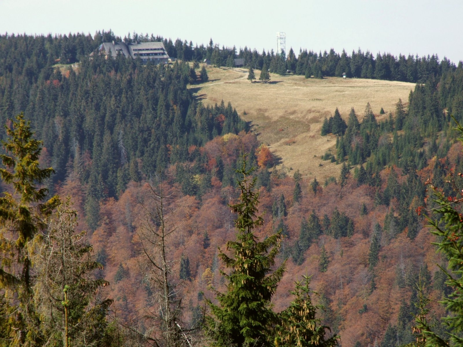
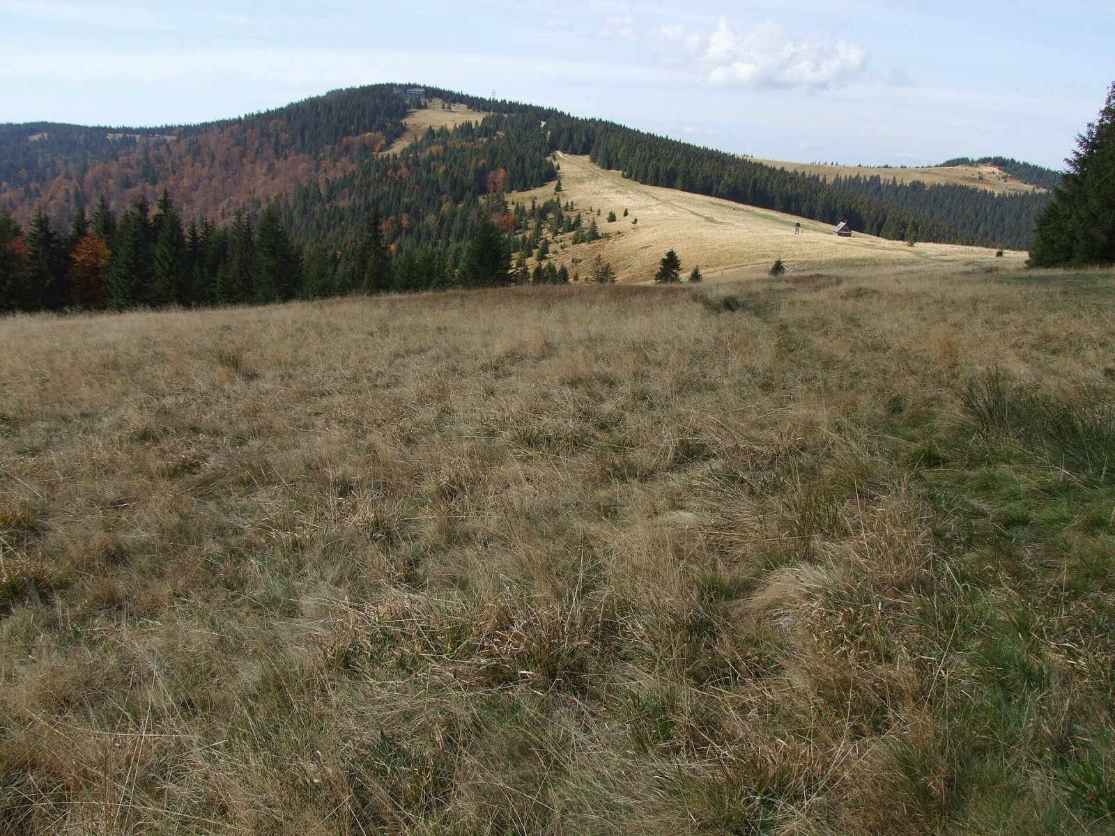
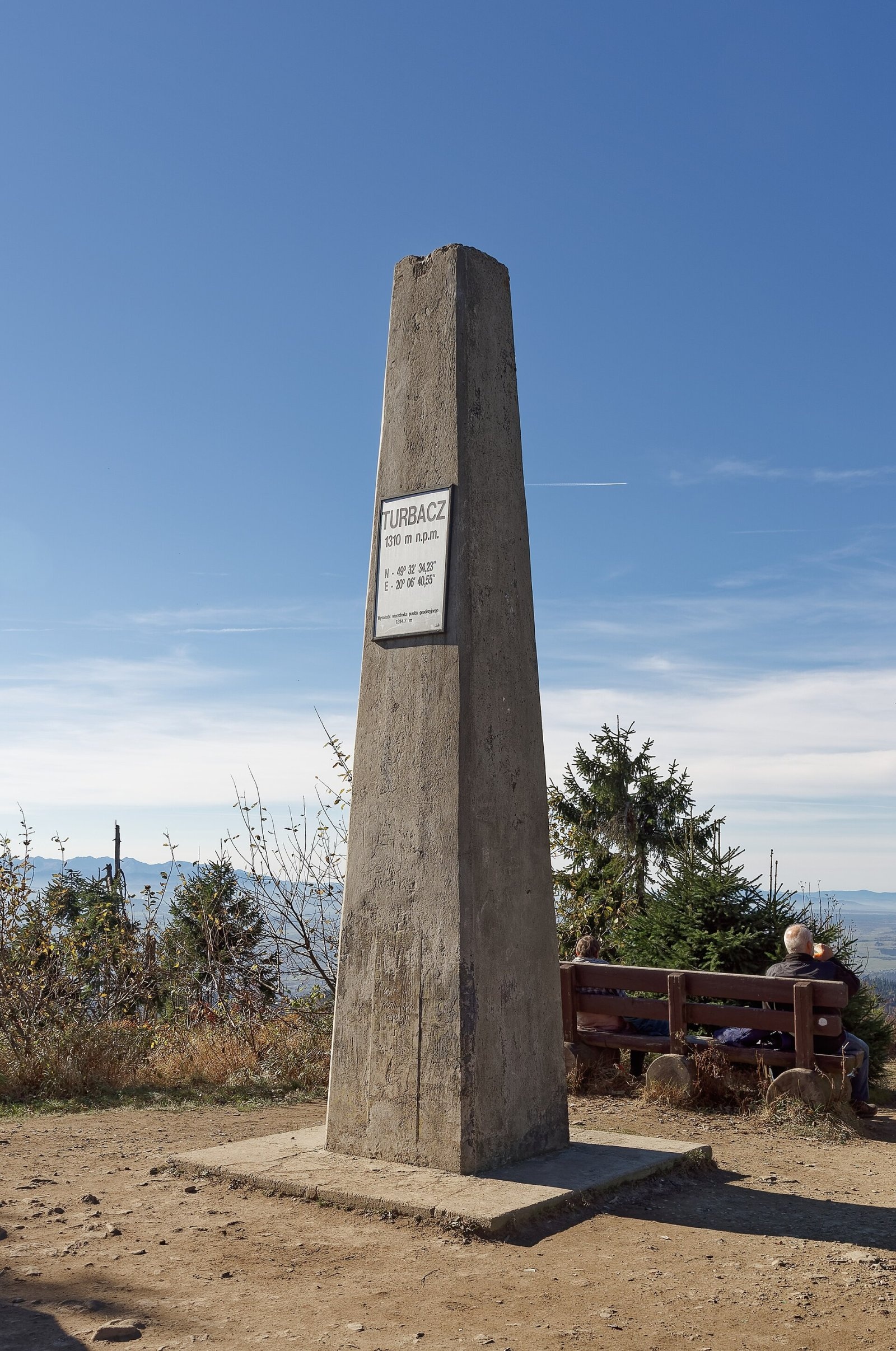
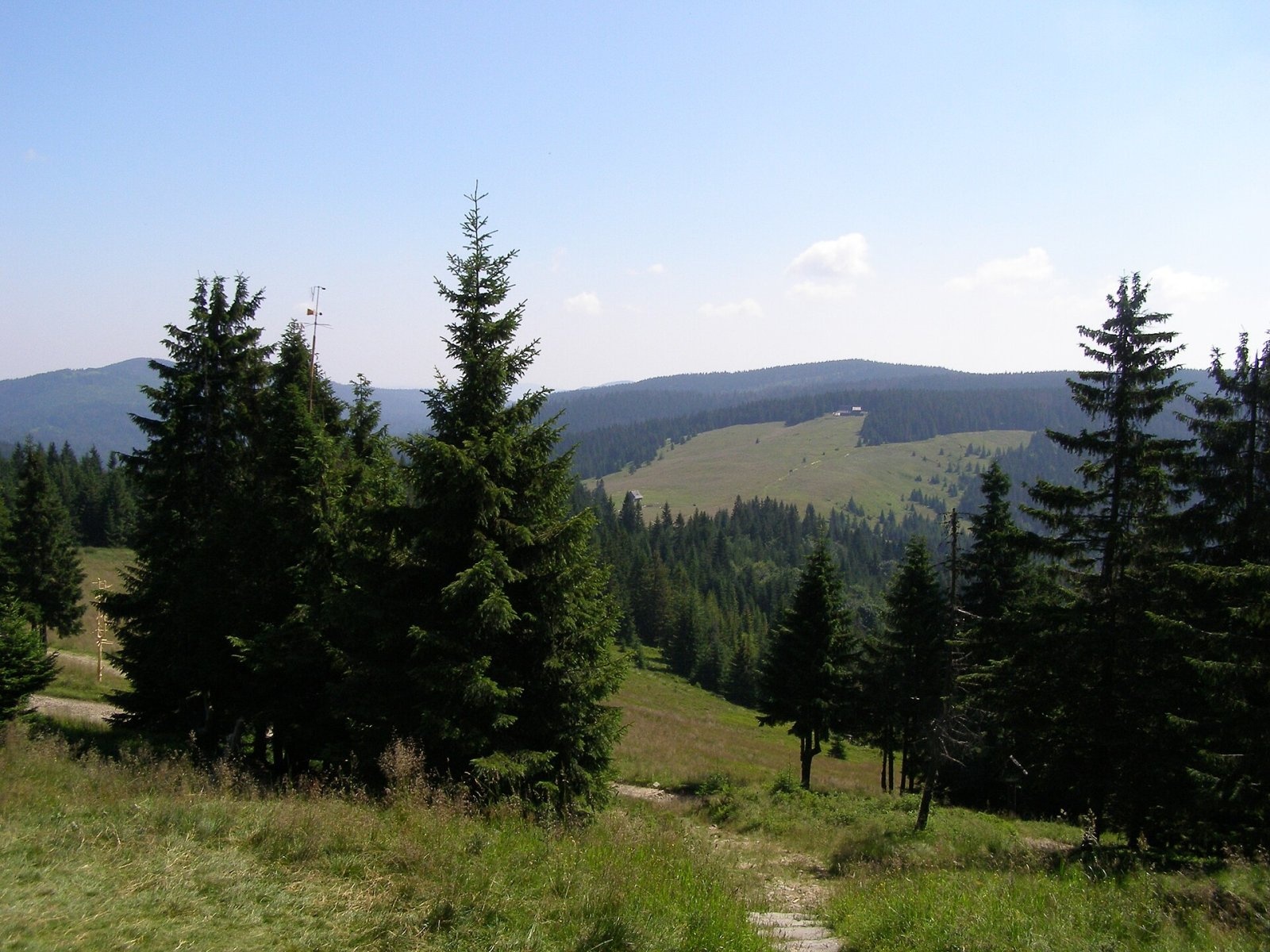
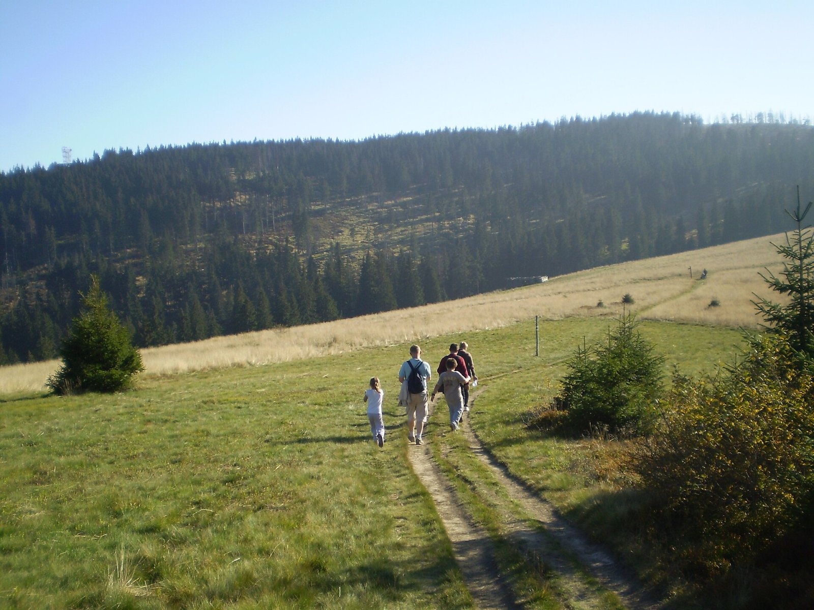
Turbacz is the highest peak of the Gorce Mountains, 1,310 m high, lying at the very centre of the range in southern Lesser Poland, about 30 km north of Zakopane. The summit is the main hub of the mountains: all the principal ridges radiate from it — the Gorc ridge to the east (with a branch to the long Lubań ridge), and the ridges of Mostownica and Kudłoń, Turbaczyk, Suchy Groń, Obidowiec, Średni Wierch and Bukowina Obidowska. The boundaries of five villages meet on or near the top — Łopuszna, Waksmund and Obidowa (Nowy Targ County) and Poręba Wielka and Szczawa (Limanowa County). Turbacz is built of Carpathian flysch and belongs to the Crown of Polish Mountains.
The summit itself lies outside Gorce National Park, whose boundary runs along its eastern and northern sides. For most hikers the name "Turbacz" means above all the large stone PTTK hut on the Wolnica clearing (part of Hala Długa), five minutes' walk from the top.
How to get there / routes
The red Main Beskid Trail (GSB) crosses the summit. According to Polish Wikipedia:
- from Rabka-Zdrój via Maciejowa, Stare Wierchy and Obidowiec — 16.7 km, 970 m of ascent, about 5 h 35 min;
- from Knurowska Pass via Hala Nowa, Kiczora and Hala Długa — 8.5 km, 610 m of ascent, about 3 hours.
The hut has the largest trail junction in the Gorce. From here marked routes lead via Bukowina Waksmundzka to Łopuszna, via Bukowina Miejska or Bukowina Waksmundzka to Oleksówka in Nowy Targ, via Czoło Turbacza and Suchy Groń to Koninki in Poręba Wielka, via Turbaczyk past the Orkanówka museum to Niedźwiedź, and via Borek, Kudłoń and Gorc Troszacki to Lubomierz. According to Gorce National Park, the trail from Konina to Turbacz is 8 km long and takes about 3 hours up.
What you can see from the summit
For a long time the top was surrounded by dense spruce forest with no views; only after a windstorm destroyed part of the forest did views to the north and west open up again. In the past the summit was treeless: in 1832 Kraków could be seen from here through a telescope. The best panorama is from the terrace in front of the hut: above the Spisz-Gubałówka Foothills you see the Pieniny and the Tatras — from the Belianske Tatras with Havran through the High Tatras with Łomnica, Gerlach, Wysoka and Świnica to the Western Tatras with Kasprowy Wierch, Bystrá and Banówka.
Nature and history
On the summit stand a stone obelisk and an iron cross dated 1945–1985. During and after the Second World War partisan units operated on the slopes of Turbacz, and the hut served them as a contact point and hideout; the best-known figure is Józef Kuraś, nom de guerre "Ogień". The PTTK hut at 1,283 m (over 100 beds) opened in 1958 to a design by Anna Górska; next to it the PTTK Museum of Mountain Culture and Tourism opened in 1980, covering the history of tourism in the Gorce, the resistance movement and the writer Władysław Orkan.
On the second Sunday of August the Mountain Festival takes place by the so-called Papal Chapel on the Rusnakowa clearing; for many years the Mass was celebrated by Father Józef Tischner, who came from Łopuszna at the foot of the mountain. The name Turbacz was probably brought by Vlach shepherds: one theory links it with the Romanian turbă, "peat, turf". The old local name of the summit was "Kluczki", and because of a mistake by Austrian cartographers in 1790 the mountain was also called Niedźwiedź in the 19th century.
Safety, season and rules
Turbacz is accessible all year, but the trails to it cross Gorce National Park, where you must keep to the marked paths. The summit has a subarctic climate with frequent precipitation and low temperatures; in winter the clearings may hold deep snow and strong wind, and in fog it is easy to go astray at the many junctions. In an emergency call GOPR mountain rescue (Podhale group) on 985 or +48 601 100 300, or 112.
Interesting facts
- Turbacz is the highest point of Polish MTB marathons — an annual race from Rabka-Zdrój.
- In the local highland dialects the mountain is called Turbac, Trubac or Turboc.
- On 12 August 2012 a monument to the "cursed soldiers" was unveiled on the clearing by the Papal Chapel.
Photos: Jerzy Opioła, CC BY-SA 3.0; Jerzy Opioła, CC BY-SA 3.0; Jakub Hałun, CC BY 4.0; Andrzej Otrębski, CC BY-SA 4.0; R.Mendakiewicz, CC BY-SA 3.0; Jerzy Opioła, CC BY-SA 4.0; Jerzy Opioła, CC BY-SA 4.0 — Wikimedia Commons.
Getting there from Ukraine
Border crossings
- Krakovets – Korczowa — road, 24/7
- Shehyni – Medyka — road, 24/7 Pedestrian crossing is not confirmed by the Ukrainian border service — check dpsu.gov.ua before the trip.
- Smilnytsia – Krościenko — road, 24/7
- Hrushiv – Budomierz — road, 24/7
- Mostyska – Przemyśl (rail) — rail, 24/7
By car
Lviv – Zakopane ≈421 km, ≈5 h 10 min without border queues. Route: M-10 Lviv – Krakovets → Krakovets – Korczowa checkpoint → A4 motorway (Rzeszów – Tarnów – Kraków) → Kraków southern bypass → S7/DK7 → DK47 ('Zakopianka') via Nowy Targ → Zakopane. The A4 Katowice – Kraków section (Balice and Mysłowice toll plazas) is tolled, but this route does not use it. In summer and at weekends the DK47 near Zakopane is often congested.
Checked 23.10.2026; border crossing hours and timetables change — check before you travel.
Location on the map
Water and shelter nearby
- Turbacz Hut510 m · Standing · 1 283 m
- Spring below Wisielakówka1.2 km · Not verified · 1 161 m
- Spring under Buk, 1 160 m1.2 km · Not verified · 1 160 m
- Hut below Rozdziele1.3 km · Not verified · 1 155 m
- Spring below Rozdziele1.7 km · Not verified · 1 089 m
- Miłości Spring1.7 km · Not verified · 1 227 m
- Spring below Bukowina Waksmundzka (south-east slope), 1 013 m2.3 km · Not verified · 1 013 m
- Spring below Bukowina Waksmundzka (south-east slope), 969 m2.6 km · Not verified · 969 m
- GPN Hut2.8 km · Not verified · 1 095 m
Comments
Trails nearby
All trails HardMulti-dayMarkedMain Trail of BeskidyElevation profile309–1 723 m499.9 kmascent 19 519 munder 1 km from Turbacz
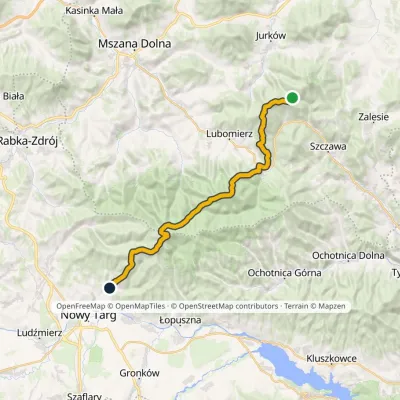 HardMulti-dayMarkedMały Krzystanów KowaniecElevation profile656–1 289 m28.7 kmascent 1 194 m≈ 9.5 h walkingunder 1 km from Turbacz
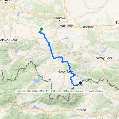 HardMulti-dayMarkedBrzeźnica KacwinElevation profile220–1 289 m143 kmascent 4 206 munder 1 km from Turbacz
Nearby attractions
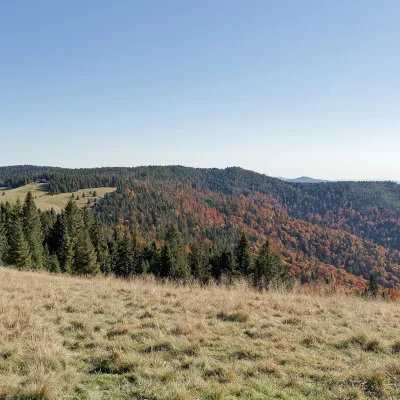 Mountain meadowHala Długa below TurbaczKoninkialtitude 1 202 m1.5 km from TurbaczHala Długa is a large mountain glade on the ridge of Turbacz, the highest peak of the Gorce (1,310 m).
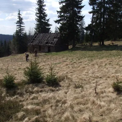 PeakObidowiecKoninkialtitude 1 105 m3.6 km from TurbaczObidowiec is a summit about 1,105 m high (1,104.6 m per Polish Wikipedia) on the main ridge of the Gorce mountains in southern Poland.
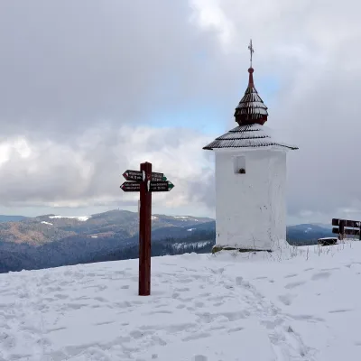 Mountain meadowPolana Jaworzyna KamienickaLubomierzaltitude 1 265 m3.6 km from TurbaczPolana Jaworzyna Kamienicka (also simply Jaworzyna) is a mountain glade on the north-eastern slope of Jaworzyna Kamienicka (1,288 m), the second-highest peak of the...
Craft nearby
All craft places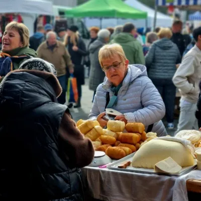 Markets & fairsNowy Targ Fair (Nowa Targowica)Nowy Targ7.9 km from TurbaczThe fair in Nowy Targ is the largest and oldest market in Podhale. On Thursdays and Saturdays highlanders from the surrounding villages, Slovaks from across the border...
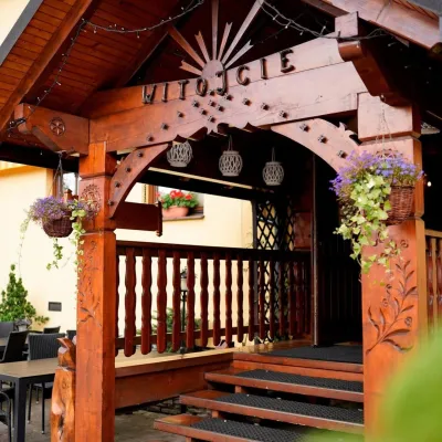 Koliby & Hutsul cuisineKarcma u Borzanka, Nowy Targ: highland food in an 18th-century innNowy Targ8.4 km from TurbaczKarcma u Borzanka is a highland tavern in the oldest coaching inn of Nowy Targ, the capital of Podhale.
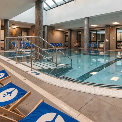 Water parks & thermal poolsTermy Gorce thermal bathsNiedźwiedź8.8 km from TurbaczTermy Gorce is a small, cosy thermal complex in the village of Poręba Wielka, in the municipality of Niedźwiedź, at the foot of the Gorce Mountains.
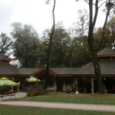 Water parks & thermal poolsRabka-Zdrój spa: brine graduation tower, pump rooms, treatmentsRabka-Zdrój13 km from TurbaczRabka-Zdrój is a spa in the Raba valley between the Gorce, the Beskid Wyspowy and the Beskid Makowski, halfway from Kraków to Zakopane.
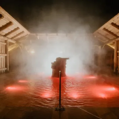 Water parks & thermal poolsTermy Gorący Potok (Szaflary)Bańska Niżna17 km from TurbaczTermy Gorący Potok is a complex of outdoor thermal pools in Szaflary, between Nowy Targ and Zakopane, about 15 km from Zakopane.
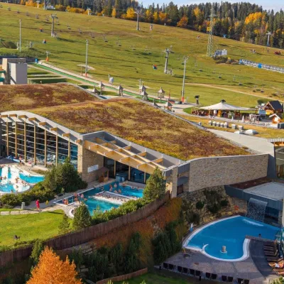 Water parks & thermal poolsTerma BaniaBiałka Tatrzańska17 km from TurbaczTerma Bania is a large thermal water park in the village of Białka Tatrzańska, at the foot of the Kotelnica ski slope.
