Mountain shelter
Turbacz Hut
Poland · Gorce range · 1 283 m


- Photo: Paweł Opioła · CC BY-SA 4.0 · Wikimedia Commons
- Photo: Andrzej Otrębski · CC BY-SA 4.0 · Wikimedia Commons
- Photo: Rafał M. Socha (Azymut) · CC BY-SA 4.0 · Wikimedia Commons
Condition
StandingNo hikers’ reports yet. According to open data the hut is open — check its website or call before setting out.
Last edited on the OSM map 13.11.2025
- 1 283 m
- Sleeps up to 110
- Meals served
Practical info
- Run by: PTTK
- Local name: Schronisko PTTK im. Władysława Orkana na Turbaczu
- Food: Kitchen or buffet
- Built: 1958
- Contacts: turbacz.net
About
The Władysław Orkan Hut stands just below the summit of Turbacz, the highest peak of the Gorce, on the edge of Wolnica glade on Hala Długa, at 1,283 m, right by the boundary of Gorce National Park. The terrace in front of the entrance offers a panorama of the Pieniny and the whole Tatra range.
The first hut of 1925 burned down in 1933; the second, never fully finished, was set on fire by Home Army partisans in 1943. PTTK began the present stone building, designed by Anna Górska, in 1953, partly on the ruins of the pre-war one, and officially opened it on 21 August 1958. It has 110 beds, a 60-seat dining room with full meals, and an exhibition on the history of tourism in the Gorce.
The largest trail junction of the Gorce lies at the door: the red Main Beskid Trail passes here, and blue, green and yellow trails lead to Nowy Targ, Niedźwiedź, Łopuszna and Lubomierz. Mountain rescue: 985 or +48 601 100 300.
On the map
Coordinates: 49.54361, 20.11828
How to get there
from Nowy Targ (Oleksówka) on the green trail via Bukowina Waksmundzka.
Trails nearby
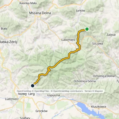 HardMulti-dayMarkedMały Krzystanów KowaniecElevation profile656–1 289 m28.7 kmascent 1 194 m≈ 9.5 h walking
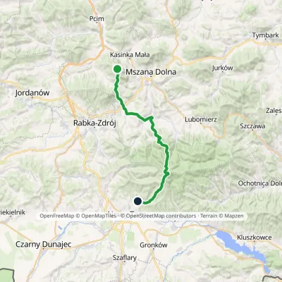 HardMulti-dayMarkedSzczebel Kowaniecvia TurbaczElevation profile424–1 289 m32 kmascent 1 334 m≈ 10.5 h walking
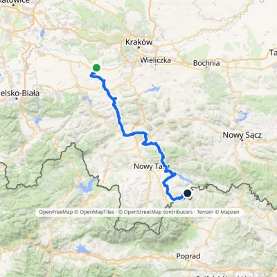 HardMulti-dayMarkedBrzeźnica KacwinElevation profile220–1 289 m143 kmascent 4 206 m
 HardMulti-dayMarkedMain Trail of BeskidyElevation profile309–1 723 m499.9 kmascent 19 519 m
Report the condition
Been here recently? Tell us what you saw and add photos — your report appears on the page right away with today’s date.
