Obidowa
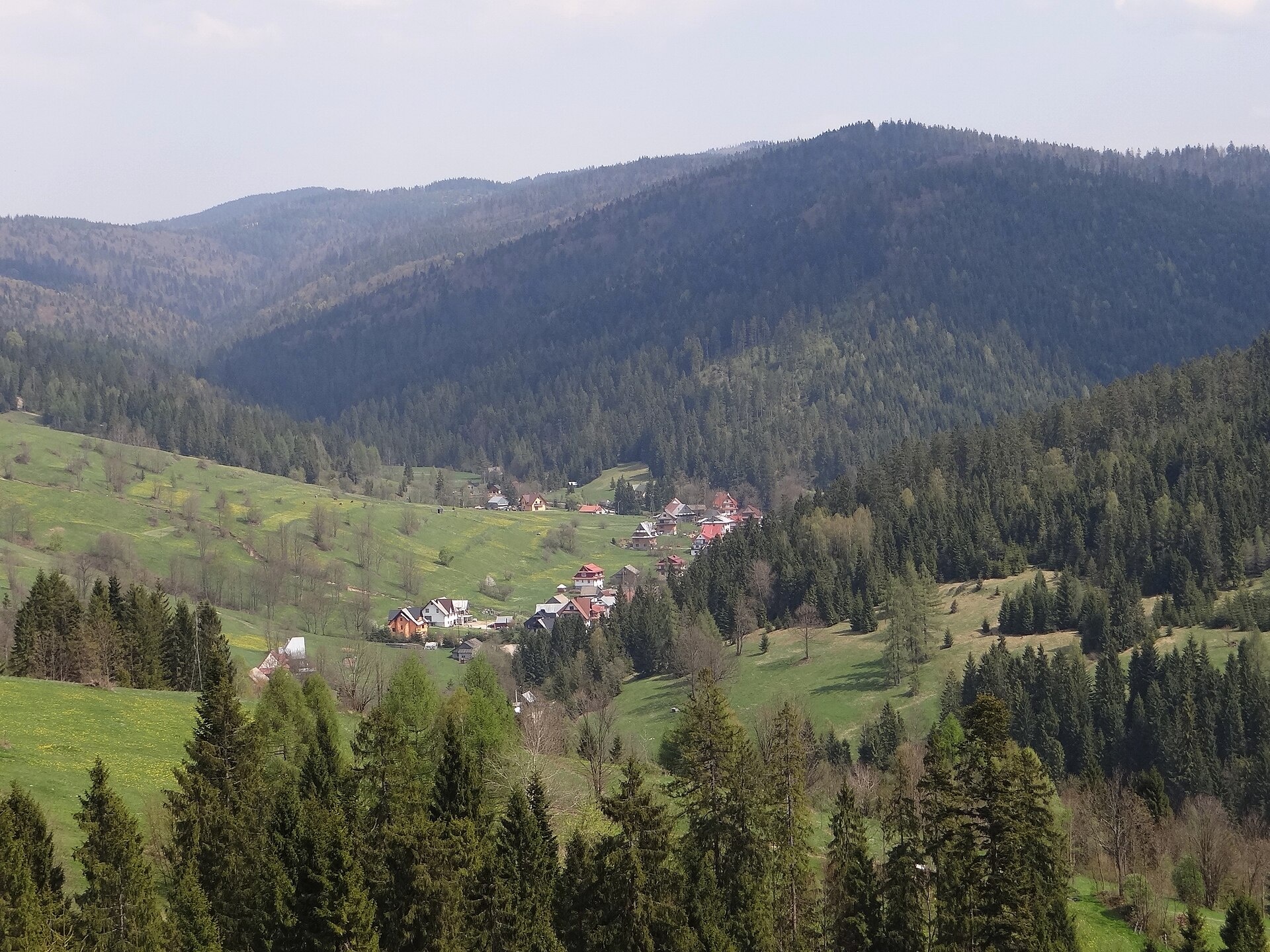
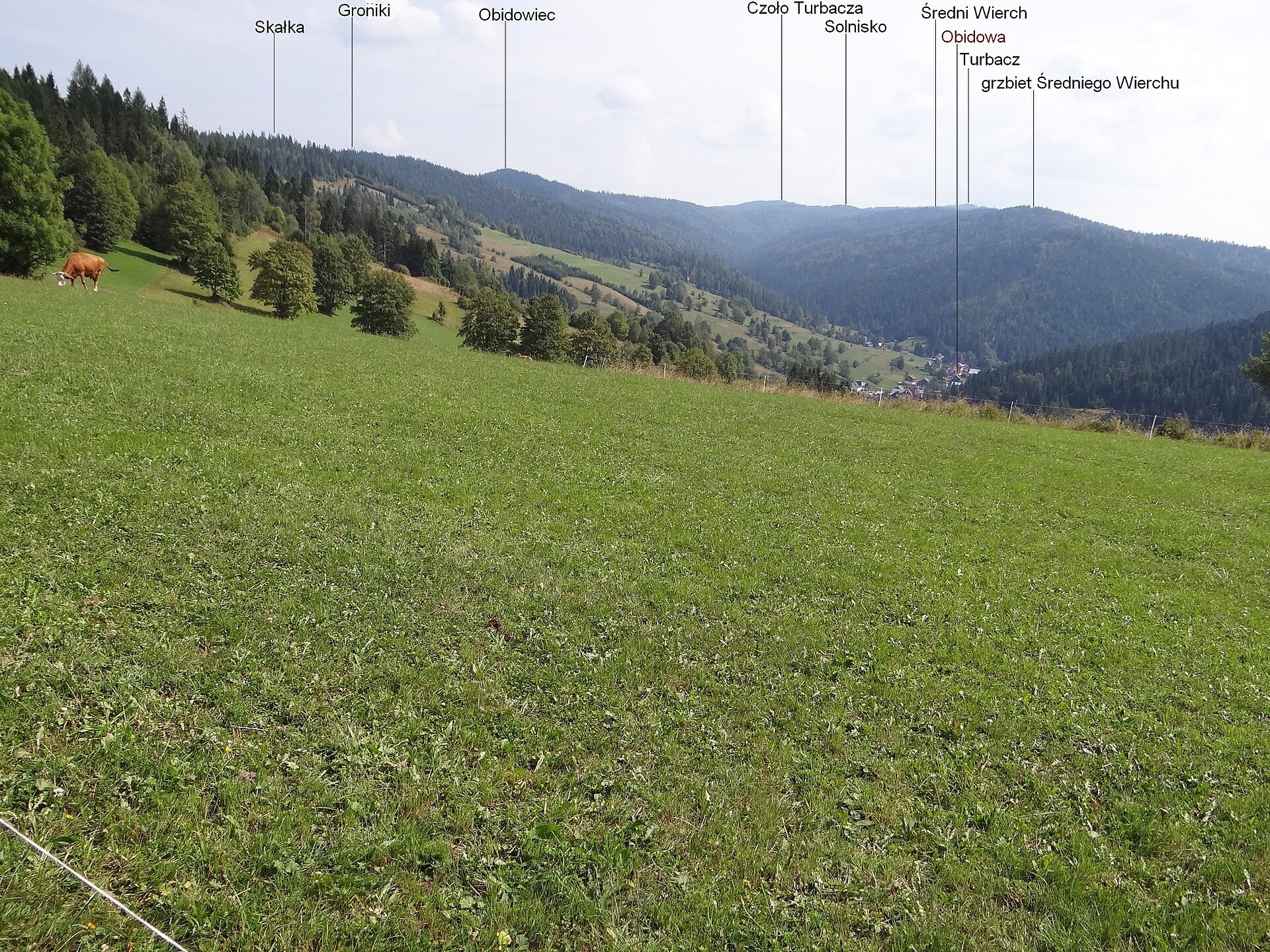
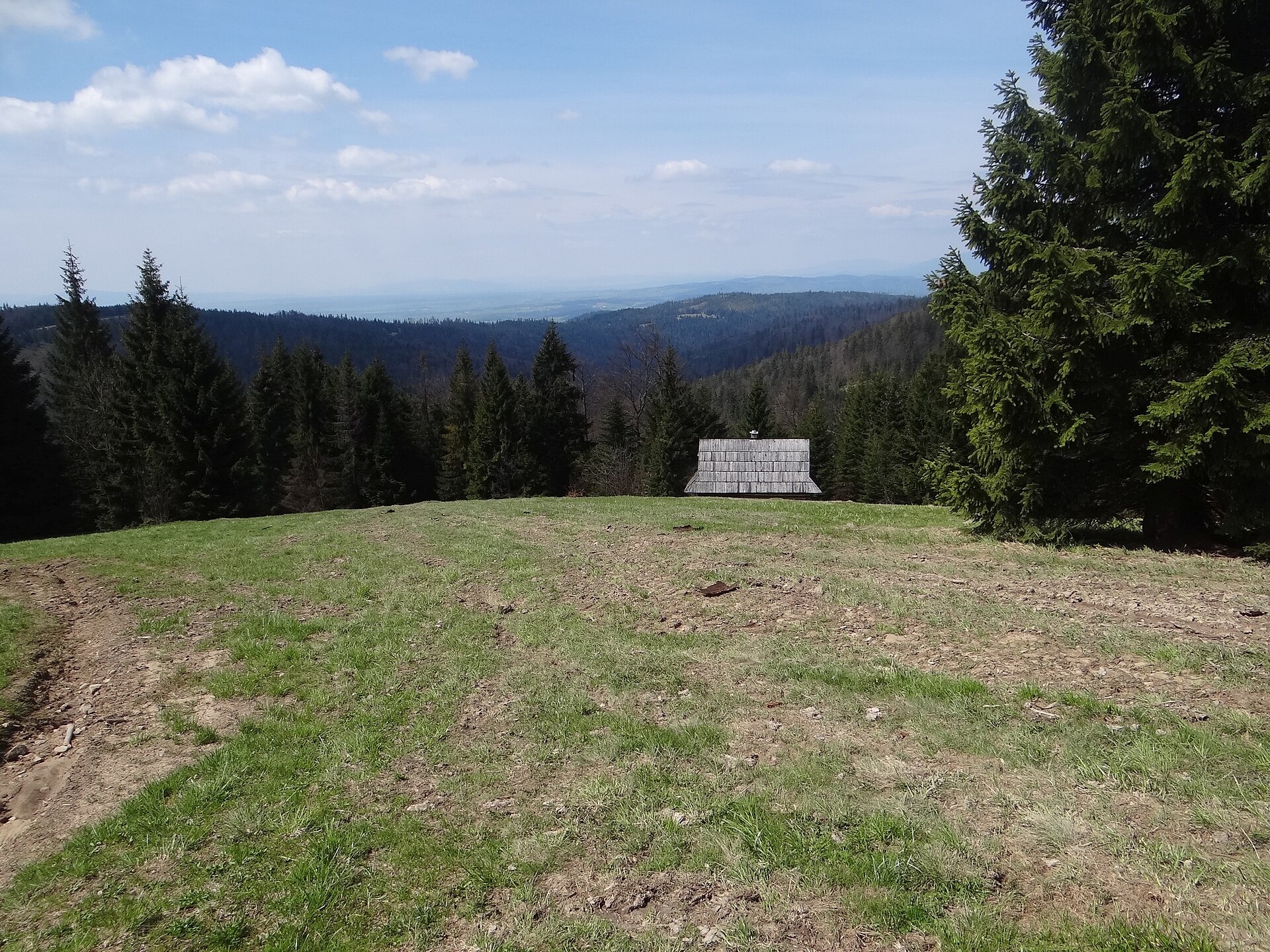
Photos: Jerzy Opioła, CC BY-SA 3.0 (Wikimedia Commons); Jerzy Opioła, CC BY-SA 3.0 (Wikimedia Commons); Selso, CC BY-SA 4.0 (Wikimedia Commons)
Obidowa is a village in Poland, located in the administrative district of Gmina Nowy Targ, Nowy Targ County, Lesser Poland Voivodeship. The settlement lies in the Gorce mountains, in the valley of the Lepietnica stream. Its houses and fields occupy the narrow valley floor and adjacent slopes, mostly on the right bank. Obidowa is the highest village in the gmina and among the highest in the Gorce: buildings rise to 710–850 m, with fields and meadows reaching up to 950 m above sea level. The area is surrounded by forests with many clearings, such as Nalewajki, Spalone, Gorzec, Kałużna, Rozdziele, Jaworzyna Obidowska, Jaworzynka, Fenikowa, Huziarkowa, Wesołowa, Szkodowa, Chudobowa, Cichulowa, Bukowina, Rożnowa, Dermowa, and Rusnakowa.
From 1975 to 1998, Obidowa belonged to the Nowy Sącz Voivodeship. During the German occupation in 1942–1944, the area was a center of activity for partisan units of the Gwardia Ludowa, Armia Ludowa, and Soviet detachments.
Obidowa is known for its picturesque mountain scenery, extensive forests, and traditional clearings. The village preserves authentic highland architecture, and the surrounding nature attracts those seeking tranquility and active recreation. It serves as a starting point for exploring the Gorce and discovering local culture.
Visitors can choose from over 20 hiking trails, including the Small Beskid Trail, Mały Krzystanów – Kowaniec, Szczebel – Turbacz – Kowaniec, Borek Pass – Rzeki – Hale Gorcowskie, and the Seweryn Goszczyński Trail. Notable sites nearby include Turbacz, the Sanctuary of Our Lady of Ludźmierz, the rolling stock open-air museum in Chabówka, the Podhale Museum in Nowy Targ, the Władysław Orkan Museum in Rabka-Zdrój, as well as the Gorce thermal baths and the brine graduation tower in Rabka-Zdrój. For accommodation, there are shelters such as Koliba on Lapsowa Polana, the Maciejowa shelter, and the Turbacz shelter.
Getting there from Ukraine
Lviv – Zakopane ≈421 km, ≈5 h 10 min without border queues. Route: M-10 Lviv – Krakovets → Krakovets – Korczowa checkpoint → A4 motorway (Rzeszów – Tarnów – Kraków) → Kraków southern bypass → S7/DK7 → DK47 ('Zakopianka') via Nowy Targ → Zakopane. The A4 Katowice – Kraków section (Balice and Mysłowice toll plazas) is tolled, but this route does not use it. In summer and at weekends the DK47 near Zakopane is often congested.
Sources: Wikipedia, Wikidata, OpenStreetMap, Karpaty.rocks data. More on Wikipedia
Trails nearby
All trails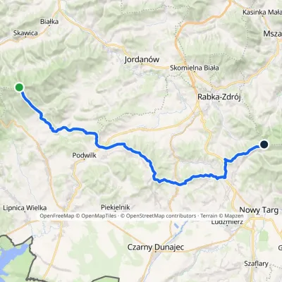 HardMulti-dayMarkedPolica Stare WierchyElevation profile674–1 369 m44 kmascent 1 099 m≈ 13 h walkingunder 1 km from the centre
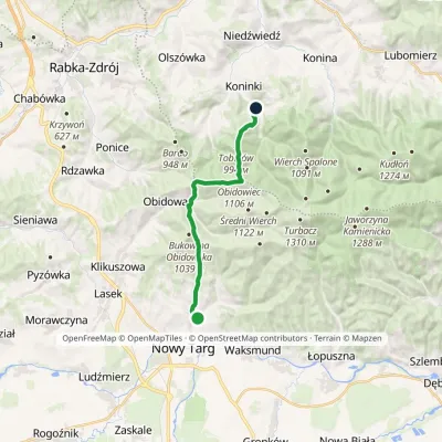 ModerateOne-dayMarkedKoninki Kowaniecvia Stare WierchyElevation profile604–1 107 m14.3 kmascent 721 m≈ 5 h walking1.1 km from the centre
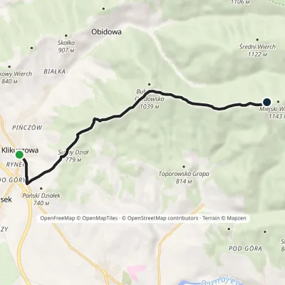 EasyOne-dayMarkedKlikuszowa Bukowina MiejskaElevation profile673–1 127 m8.9 kmascent 478 m≈ 3 h walking1.9 km from the centre
 HardMulti-dayMarkedMain Trail of BeskidyElevation profile309–1 723 m499.9 kmascent 19 519 m2 km from the centre
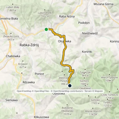 ModerateOne-dayMarkedRabka Zaryte Stare WierchyElevation profile436–970 m13 kmascent 716 m≈ 4.5 h walking2 km from the centre
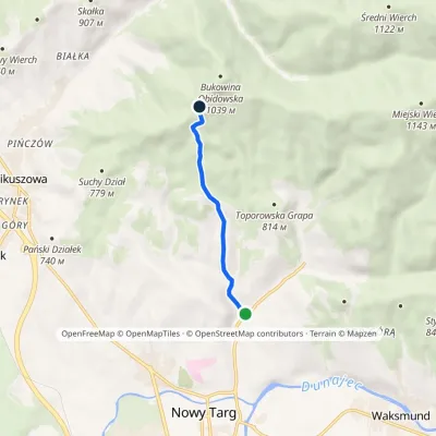 EasyOne-dayMarkedNowy Targ Kowaniec Bukowina ObidowskaElevation profile616–952 m4.1 kmascent 336 m≈ 1.5 h walking2 km from the centre
Peaks nearby
All peaks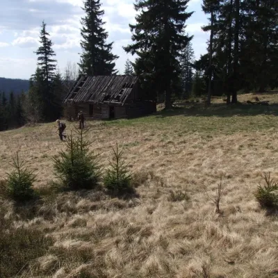 PeakObidowiecKoninkialtitude 1 105 m3.9 km from the centreObidowiec is a summit about 1,105 m high (1,104.6 m per Polish Wikipedia) on the main ridge of the Gorce mountains in southern Poland.
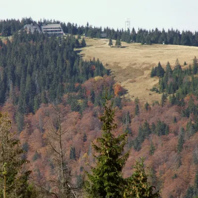 PeakTurbaczObidowaaltitude 1 310 m6.7 km from the centreTurbacz is the highest peak of the Gorce Mountains, 1,310 m high, lying at the very centre of the range in southern Lesser Poland, about 30 km north of Zakopane.
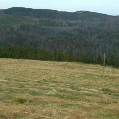 PeakKudłońLubomierzaltitude 1 274 m12 km from the centreKudłoń is a 1,274 m summit, the fourth-highest in the Gorce. It lies north-east of Turbacz on the ridge that links Turbacz with the Island Beskids via the Przysłop...
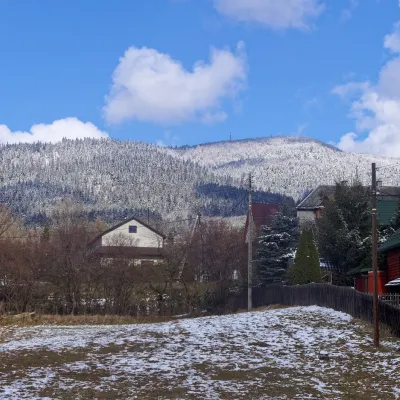 PeakLuboń WielkiGlisnealtitude 1 022 m12 km from the centreLuboń Wielki is a 1,022 m summit and the most prominent mountain of the Island Beskids, rising about 512 m above its key col.
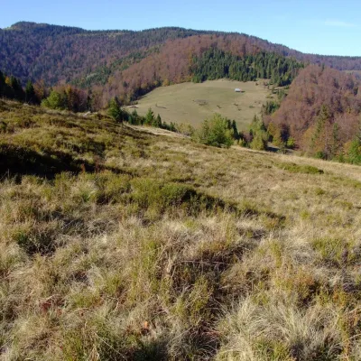 PeakPrzysłop (Gorce)Ochotnica Górnaaltitude 1 187 m13 km from the centrePrzysłop is a 1,187 m summit in the Gorce mountains of southern Poland, in the Gorc range between Jaworzyna Kamienicka (1,288 m) and Gorc (1,228 m).
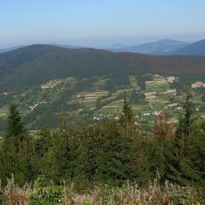 PeakSzczebelKlimkówkaaltitude 977 m16 km from the centreSzczebel, also Strzebel, is a prominent 977 m mountain in the Island Beskids (Beskid Wyspowy). It stands right above the S7 «Zakopianka» expressway from Kraków to...
What to visit
All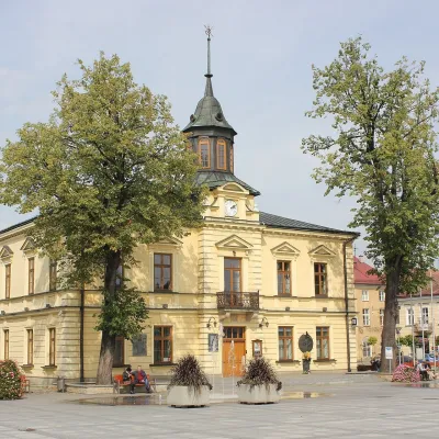 MuseumPodhale Museum in Nowy TargNowy Targ7.4 km from the centreThe Czesław Pajerski Podhale Museum (Muzeum Podhalańskie im. Czesława Pajerskiego) is the town museum of Nowy Targ, the "capital" of Podhale between the Tatras and the...
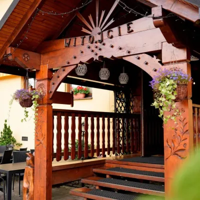 Koliby & Hutsul cuisineKarcma u Borzanka, Nowy Targ: highland food in an 18th-century innNowy Targ7.7 km from the centreKarcma u Borzanka is a highland tavern in the oldest coaching inn of Nowy Targ, the capital of Podhale.
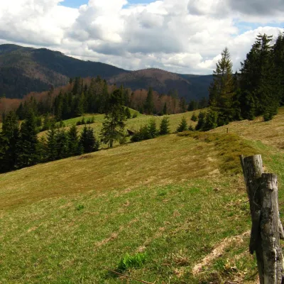 Mountain meadowTurbaczyk GladeKoninaaltitude 1 025 m8 km from the centreTurbaczyk is a summit meadow on the mountain of the same name in the Gorce, on the northern side of the Turbacz massif.
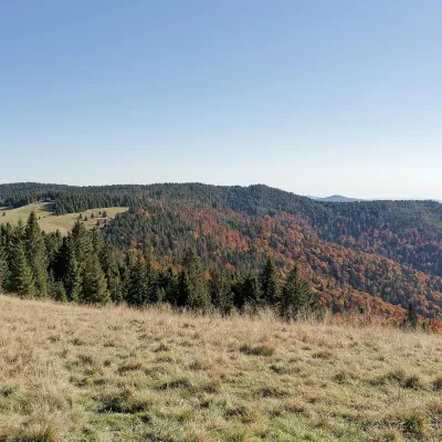 Mountain meadowHala Długa below TurbaczKoninkialtitude 1 202 m8.2 km from the centreHala Długa is a large mountain glade on the ridge of Turbacz, the highest peak of the Gorce (1,310 m).
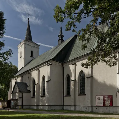 ChurchSanctuary of Our Lady of LudźmierzLudźmierz9.6 km from the centreLudźmierz is a village just outside Nowy Targ and home to the main Marian sanctuary of the Polish highlanders.
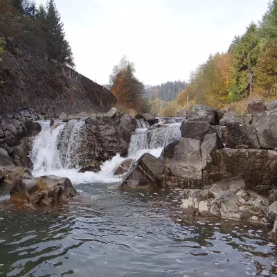 WaterfallSpad Waterfall, SzczawaSzczawa20 km from the centreSpad is a natural waterfall on the Kamienica Gorczańska, a left tributary of the Dunajec, in the village of Szczawa on the border of the Gorce and the Island Beskids ...
Craft nearby
All craft places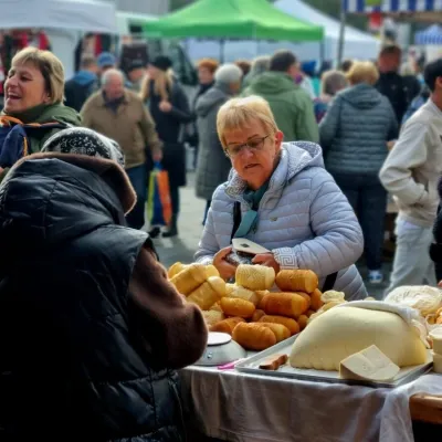 Markets & fairsNowy Targ Fair (Nowa Targowica)Nowy Targ7.4 km from the centreThe fair in Nowy Targ is the largest and oldest market in Podhale. On Thursdays and Saturdays highlanders from the surrounding villages, Slovaks from across the border...
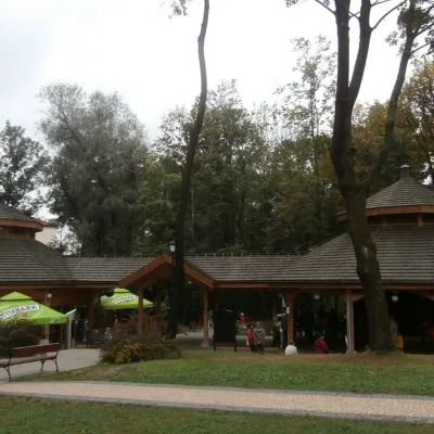 Water parks & thermal poolsRabka-Zdrój spa: brine graduation tower, pump rooms, treatmentsRabka-Zdrój8 km from the centreRabka-Zdrój is a spa in the Raba valley between the Gorce, the Beskid Wyspowy and the Beskid Makowski, halfway from Kraków to Zakopane.
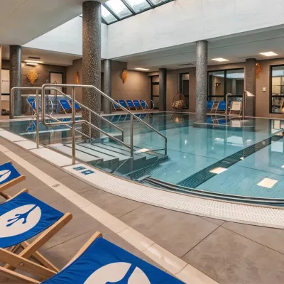 Water parks & thermal poolsTermy Gorce thermal bathsNiedźwiedź8.7 km from the centreTermy Gorce is a small, cosy thermal complex in the village of Poręba Wielka, in the municipality of Niedźwiedź, at the foot of the Gorce Mountains.
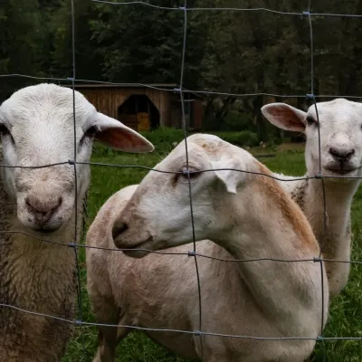 Eco farmsOrawskie Ranczo Educational Farm, Harkabuz: animals and craft workshopsHarkabuz13 km from the centreOrawskie Ranczo is a small family educational farm (zagroda edukacyjna) in the village of Harkabuz near Raba Wyżna, where Orawa meets Podhale.
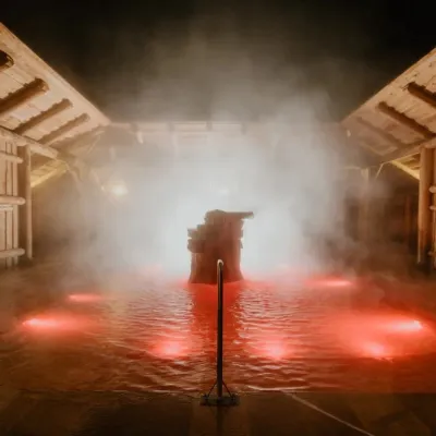 Water parks & thermal poolsTermy Gorący Potok (Szaflary)Bańska Niżna16 km from the centreTermy Gorący Potok is a complex of outdoor thermal pools in Szaflary, between Nowy Targ and Zakopane, about 15 km from Zakopane.
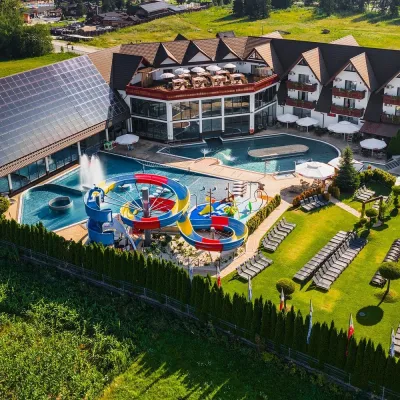 Water parks & thermal poolsTermy Szaflary (Termy Podhalańskie)Bańska Niżna17 km from the centreTermy Szaflary is a thermal complex in the village of Szaflary, between Nowy Targ and Zakopane. It used to be known as Termy Podhalańskie, a name still found in older...
Spas and thermal pools nearby
Water parks & thermal poolsRabka-Zdrój spa: brine graduation tower, pump rooms, treatmentsRabka-Zdrój8 km from the centreRabka-Zdrój is a spa in the Raba valley between the Gorce, the Beskid Wyspowy and the Beskid Makowski, halfway from Kraków to Zakopane.Water parks & thermal poolsTermy Gorce thermal bathsNiedźwiedź8.7 km from the centreTermy Gorce is a small, cosy thermal complex in the village of Poręba Wielka, in the municipality of Niedźwiedź, at the foot of the Gorce Mountains.Water parks & thermal poolsTermy Gorący Potok (Szaflary)Bańska Niżna16 km from the centreTermy Gorący Potok is a complex of outdoor thermal pools in Szaflary, between Nowy Targ and Zakopane, about 15 km from Zakopane.Huts, shelters and springs nearby

Getting there from Ukraine
Border crossings
- Krakovets – Korczowa — road, 24/7
- Shehyni – Medyka — road, 24/7 Pedestrian crossing is not confirmed by the Ukrainian border service — check dpsu.gov.ua before the trip.
- Smilnytsia – Krościenko — road, 24/7
- Hrushiv – Budomierz — road, 24/7
- Mostyska – Przemyśl (rail) — rail, 24/7
By car
Lviv – Zakopane ≈421 km, ≈5 h 10 min without border queues. Route: M-10 Lviv – Krakovets → Krakovets – Korczowa checkpoint → A4 motorway (Rzeszów – Tarnów – Kraków) → Kraków southern bypass → S7/DK7 → DK47 ('Zakopianka') via Nowy Targ → Zakopane. The A4 Katowice – Kraków section (Balice and Mysłowice toll plazas) is tolled, but this route does not use it. In summer and at weekends the DK47 near Zakopane is often congested.
Checked 23.10.2026; border crossing hours and timetables change — check before you travel.
