Szczebel
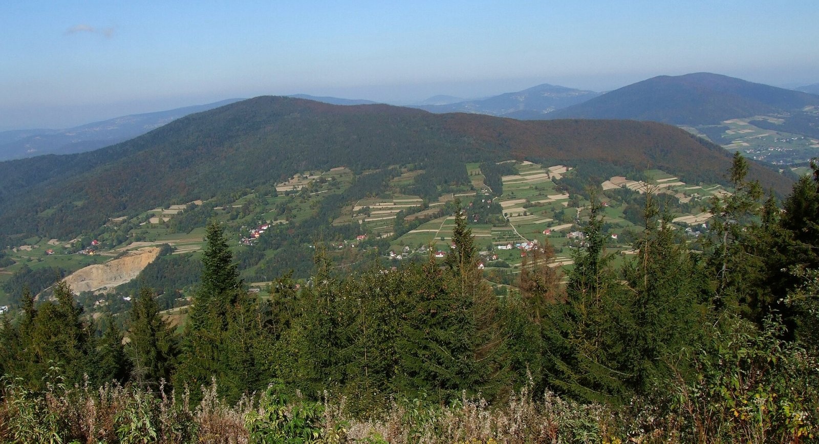
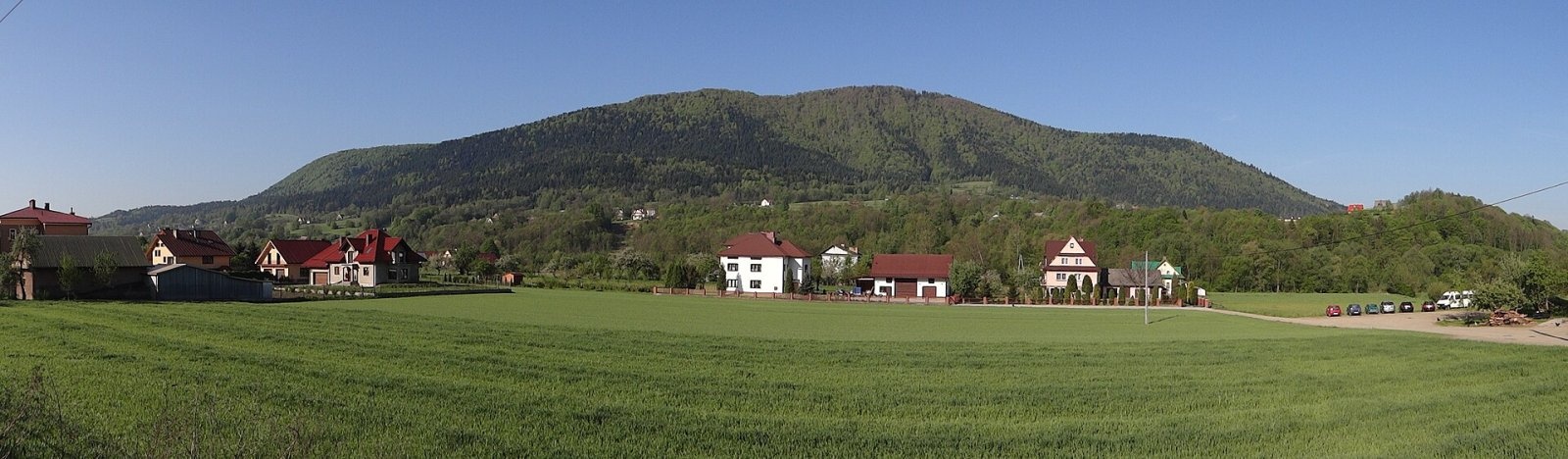
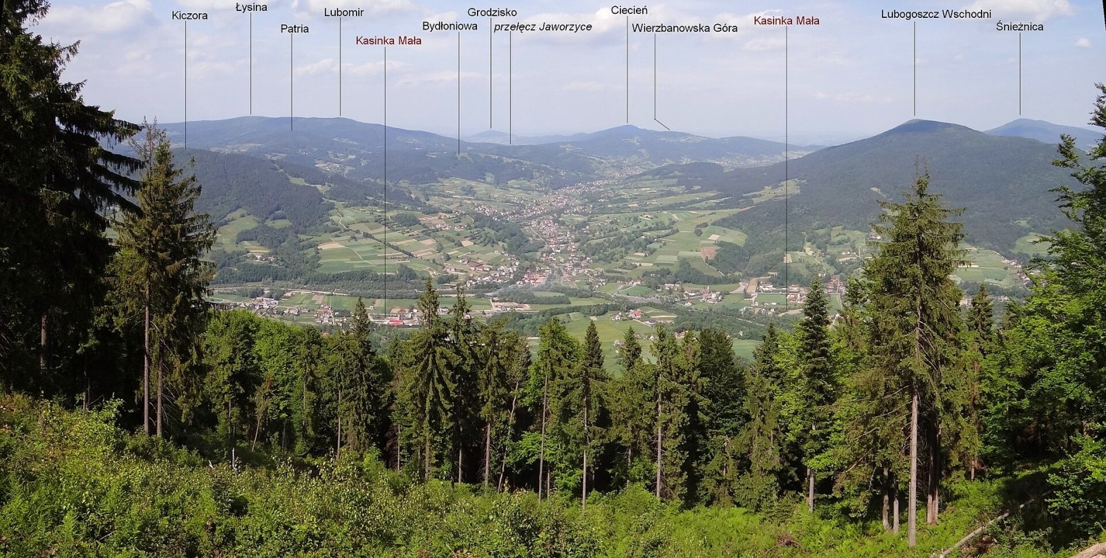
Szczebel, also Strzebel, is a prominent 977 m mountain in the Island Beskids (Beskid Wyspowy). It stands right above the S7 «Zakopianka» expressway from Kraków to Zakopane and rises over Mszana Dolna, Glisne, Tenczyn, Lubień and Kasinka Mała. The mountain lies in the fork of the Raba and its tributaries, the Lubieńka and Tenczynka. The massif has four tops: Czechówka (721 m), Szczebel proper (977 m), Mały Szczebel and Mała Góra (883 m). Kasinka Mała is about 2.5 km away, Lubień 4 km and Mszana Dolna just over 5 km.
How to get there / trails
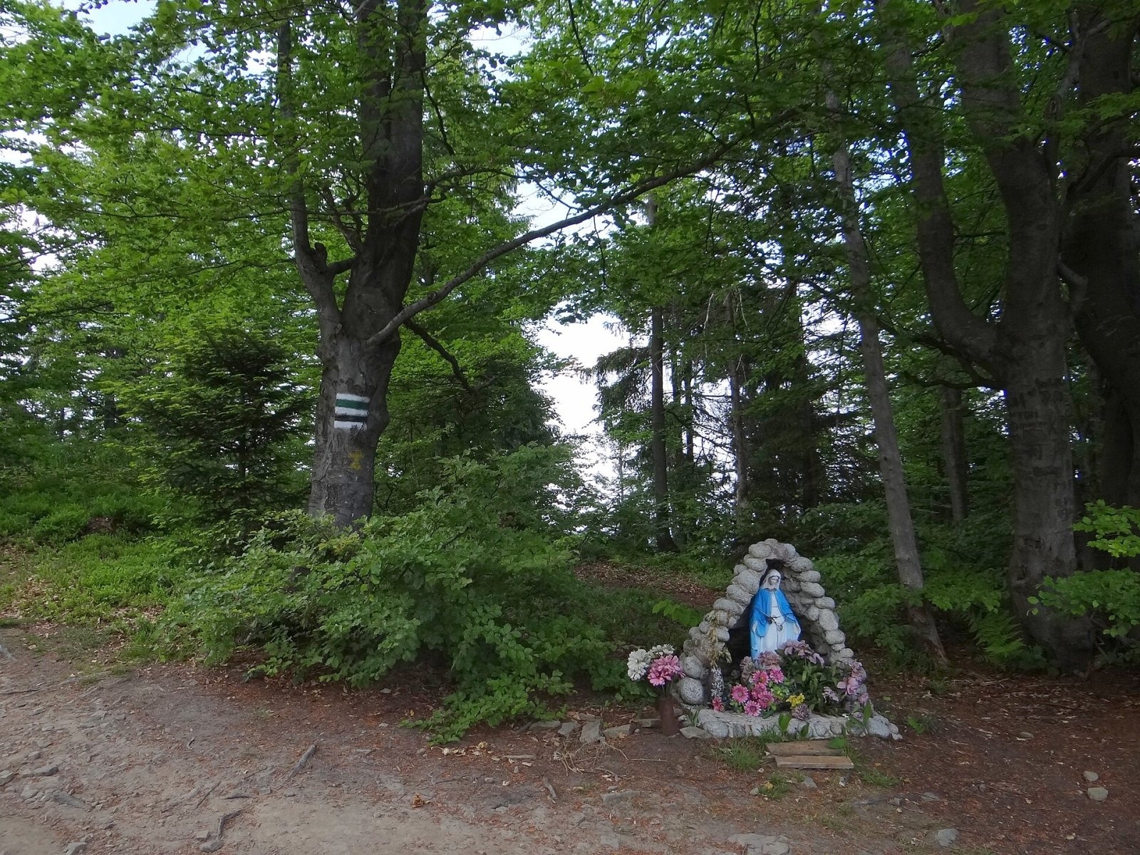
- The black PTTK trail Lubień – Mały Szczebel – Szczebel – Kasinka Mała: about 2 h 30 min from Lubień, 1 h 40 min from Kasinka Mała. The section from Lubień, with about 624 m of ascent and many steep climbs, is considered by many guides and hikers the hardest approach to any summit in the Island Beskids.
- The green trail Szczebel – Glisne pass – Raba Niżna: about 2 h 25 min up from Raba Niżna; beyond, it continues to Turbacz in the Gorce.
Locals call the climb from Kasinka Mała and Mszana Dolna «the ladder»: the eastern slope is very steep, with rock walls and steps a dozen or more metres high.
The view from the top
The summit and most slopes are wooded. Just before the top, when approaching from the north on the black trail from Lubień, a small glade with windthrown trees opens a wide view of Lubomir, Lubogoszcz and the Raba valley. Near the summit, by the black trail, a paragliding launch site was set up in 2011. As early as 1838 the geologist Ludwik Zejszner wrote that the view was «not extensive, but well worth seeing», widest towards Lubień and Babia Góra.
Nature and history
The massif is built of Magura sandstone, the main component of the Carpathian flysch in this part of the Beskids. On the slope of Mały Szczebel, by the black trail, is the Zimna Dziura («Cold Hole») cave, where ice sometimes lasts into summer; Zejszner described it too. Migrating bears are occasionally met here, as in the western Island Beskids generally.
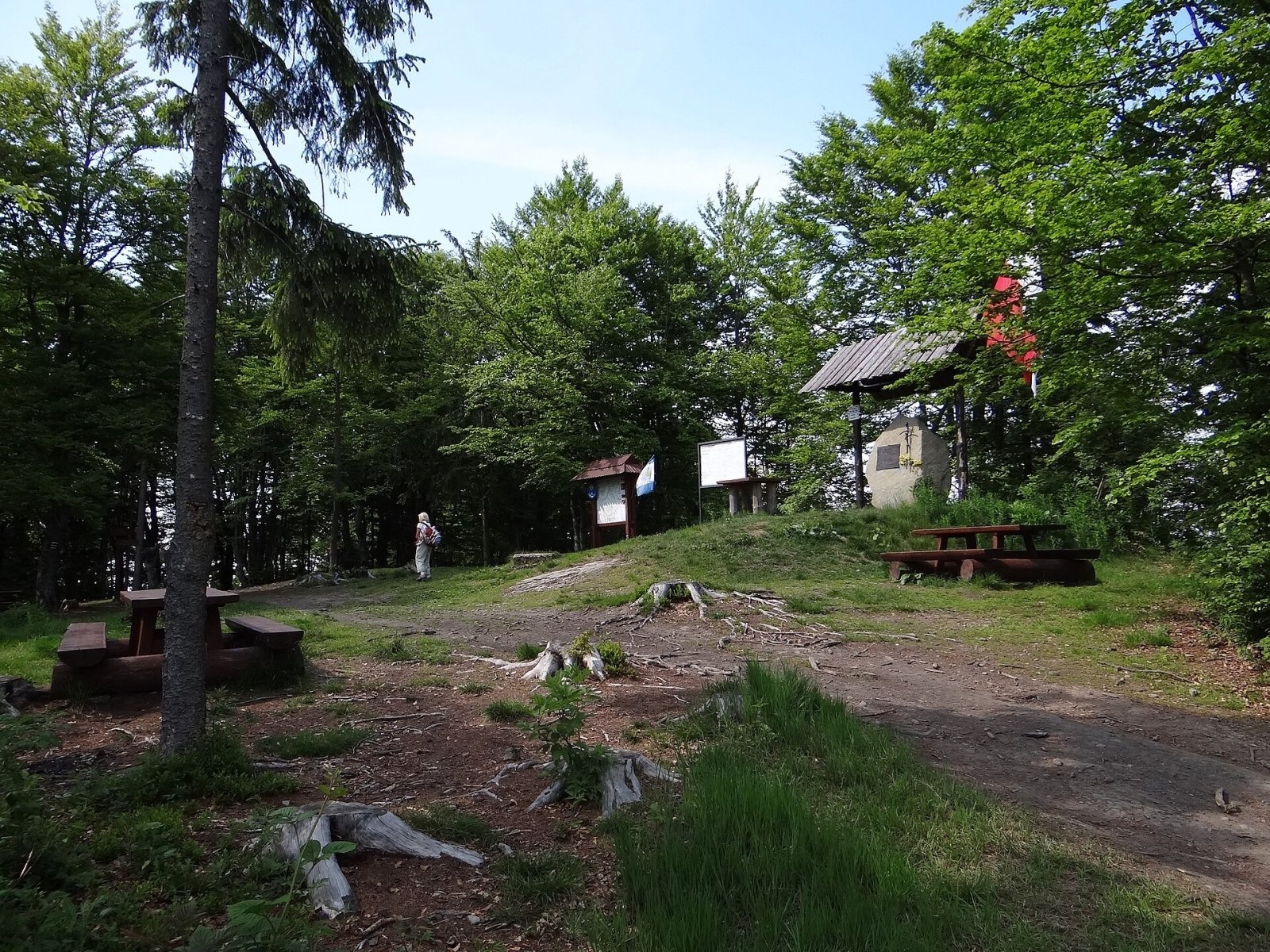
On the summit stands a monument to Pope John Paul II, who climbed Strzebel twice, a Polish flag flies, and nearby a cross commemorates a priest from Kraków who died here. Since 2010 there have been tables, benches and a fireplace on the top.
The old name Strzebel, used by Albrecht Sydow, Ludwik Zejszner and Eugeniusz Janota, is still common among locals. The form «Szczebel» was popularised by modern guidebook authors through a misunderstanding: in the local dialect the cluster «strz» is pronounced «szcz». The mountain is visible from Myślenice and even from the hills near Kraków.
Safety, season and rules
The black trail from Lubień is steep and slippery after rain, so wear shoes with a good grip. Mountain rescue is GOPR: 985 or +48 601 100 300; emergency number 112.
Interesting facts
- Chroniclers following Jan Długosz wrote that gold was once mined on Strzebel and neighbouring Kotoń.
- Legend has it that treasure guarded by a rooster lies hidden in two clefts below the summit.
Photos: Jerzy Opioła, CC BY-SA 3.0; Jerzy Opioła, CC BY-SA 4.0; Jerzy Opioła, CC BY-SA 4.0; Jerzy Opioła, CC BY-SA 4.0; Jerzy Opioła, CC BY-SA 4.0; Jerzy Opioła, CC BY-SA 4.0 — Wikimedia Commons.
Getting there from Ukraine
Border crossings
- Krakovets – Korczowa — road, 24/7
- Shehyni – Medyka — road, 24/7 Pedestrian crossing is not confirmed by the Ukrainian border service — check dpsu.gov.ua before the trip.
- Smilnytsia – Krościenko — road, 24/7
- Hrushiv – Budomierz — road, 24/7
- Mostyska – Przemyśl (rail) — rail, 24/7
By car
Lviv – Zakopane ≈421 km, ≈5 h 10 min without border queues. Route: M-10 Lviv – Krakovets → Krakovets – Korczowa checkpoint → A4 motorway (Rzeszów – Tarnów – Kraków) → Kraków southern bypass → S7/DK7 → DK47 ('Zakopianka') via Nowy Targ → Zakopane. The A4 Katowice – Kraków section (Balice and Mysłowice toll plazas) is tolled, but this route does not use it. In summer and at weekends the DK47 near Zakopane is often congested.
Checked 23.10.2026; border crossing hours and timetables change — check before you travel.
Location on the map
Water and shelter nearby
- Spring below Szczebel630 m · Not verified · 824 m
Comments
Trails nearby
All trails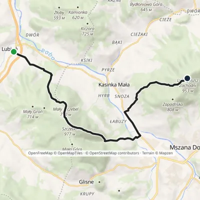 ModerateOne-dayMarkedLubień LubogoszczElevation profile357–977 m13.2 kmascent 1 186 m≈ 5.5 h walkingunder 1 km from Szczebel
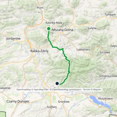 HardMulti-dayMarkedSzczebel Kowaniecvia TurbaczElevation profile424–1 289 m32 kmascent 1 334 m≈ 10.5 h walkingunder 1 km from Szczebel
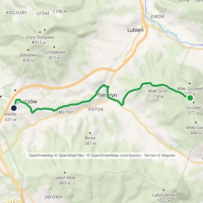 EasyOne-dayMarkedJunction to Zimna Dziura Pod KieckąElevation profile395–950 m10.5 kmascent 243 m≈ 3 h walkingunder 1 km from Szczebel
Nearby attractions
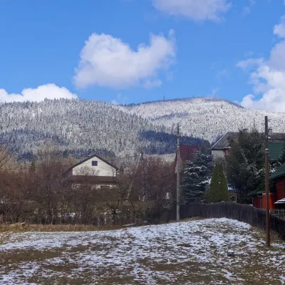 PeakLuboń WielkiGlisnealtitude 1 022 m4.1 km from SzczebelLuboń Wielki is a 1,022 m summit and the most prominent mountain of the Island Beskids, rising about 512 m above its key col.
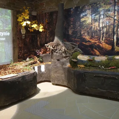 MuseumGorce National Park Nature Exhibition, Poręba WielkaPoręba Wielka9.1 km from SzczebelThe Gorce National Park Nature Exhibition (Wystawa Przyrodnicza w Ośrodku Edukacyjnym GPN) is the main attraction of the park's Education Centre in Poręba Wielka, in...
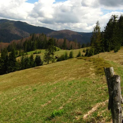 Mountain meadowTurbaczyk GladeKoninaaltitude 1 025 m14 km from SzczebelTurbaczyk is a summit meadow on the mountain of the same name in the Gorce, on the northern side of the Turbacz massif.
Craft nearby
All craft places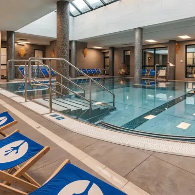 Water parks & thermal poolsTermy Gorce thermal bathsNiedźwiedź9 km from SzczebelTermy Gorce is a small, cosy thermal complex in the village of Poręba Wielka, in the municipality of Niedźwiedź, at the foot of the Gorce Mountains.
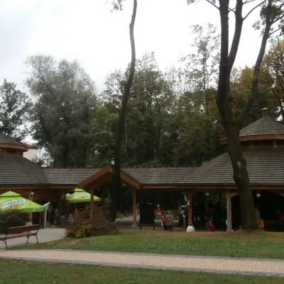 Water parks & thermal poolsRabka-Zdrój spa: brine graduation tower, pump rooms, treatmentsRabka-Zdrój9.8 km from SzczebelRabka-Zdrój is a spa in the Raba valley between the Gorce, the Beskid Wyspowy and the Beskid Makowski, halfway from Kraków to Zakopane.
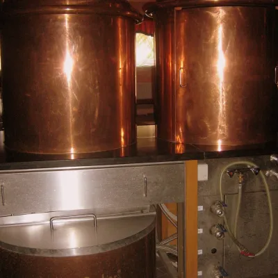 Craft shopsCistercian monastery shop, Szczyrzyc: abbey cheese, milk and Gryf beerSzczyrzyc17 km from SzczebelIts heart is the Cistercian abbey: the monks arrived in the first half of the 13th century and, according to the monastery itself, have lived here without interruption...
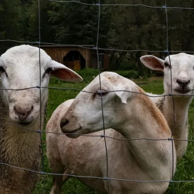 Eco farmsOrawskie Ranczo Educational Farm, Harkabuz: animals and craft workshopsHarkabuz21 km from SzczebelOrawskie Ranczo is a small family educational farm (zagroda edukacyjna) in the village of Harkabuz near Raba Wyżna, where Orawa meets Podhale.
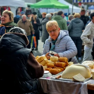 Markets & fairsNowy Targ Fair (Nowa Targowica)Nowy Targ23 km from SzczebelThe fair in Nowy Targ is the largest and oldest market in Podhale. On Thursdays and Saturdays highlanders from the surrounding villages, Slovaks from across the border...
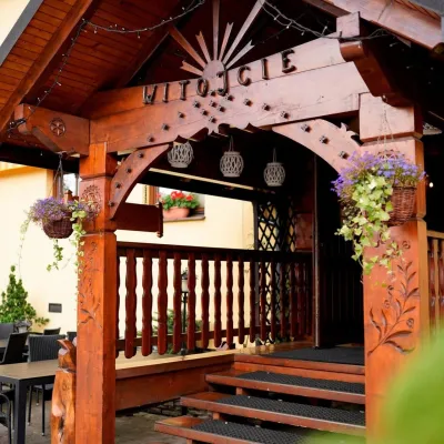 Koliby & Hutsul cuisineKarcma u Borzanka, Nowy Targ: highland food in an 18th-century innNowy Targ23 km from SzczebelKarcma u Borzanka is a highland tavern in the oldest coaching inn of Nowy Targ, the capital of Podhale.
