Obidowiec
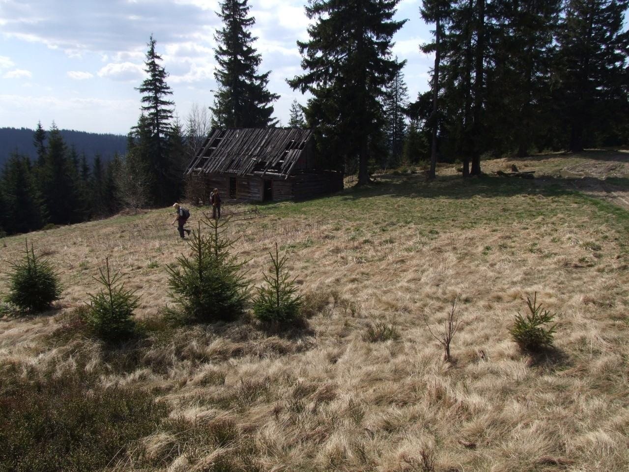
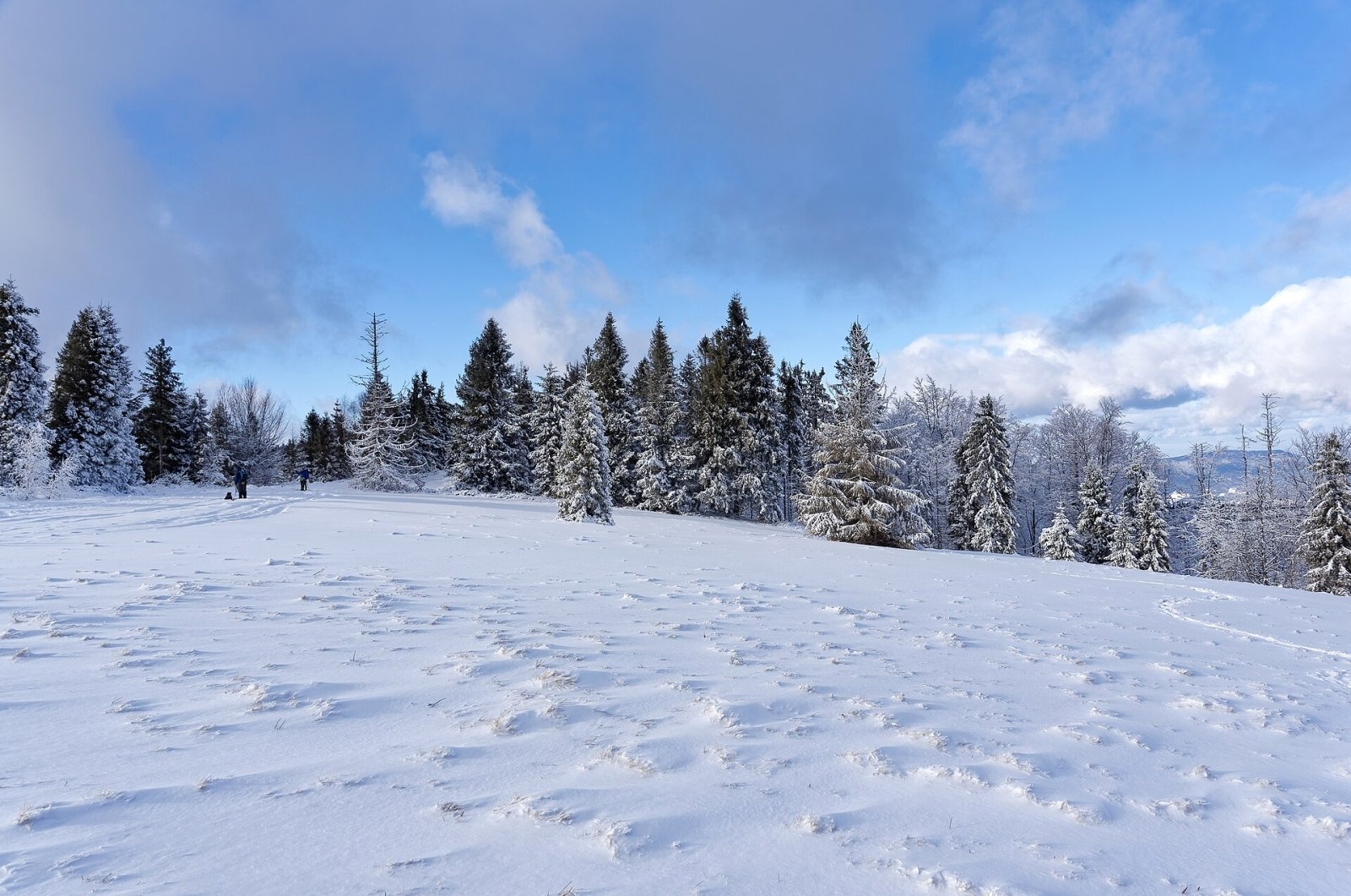
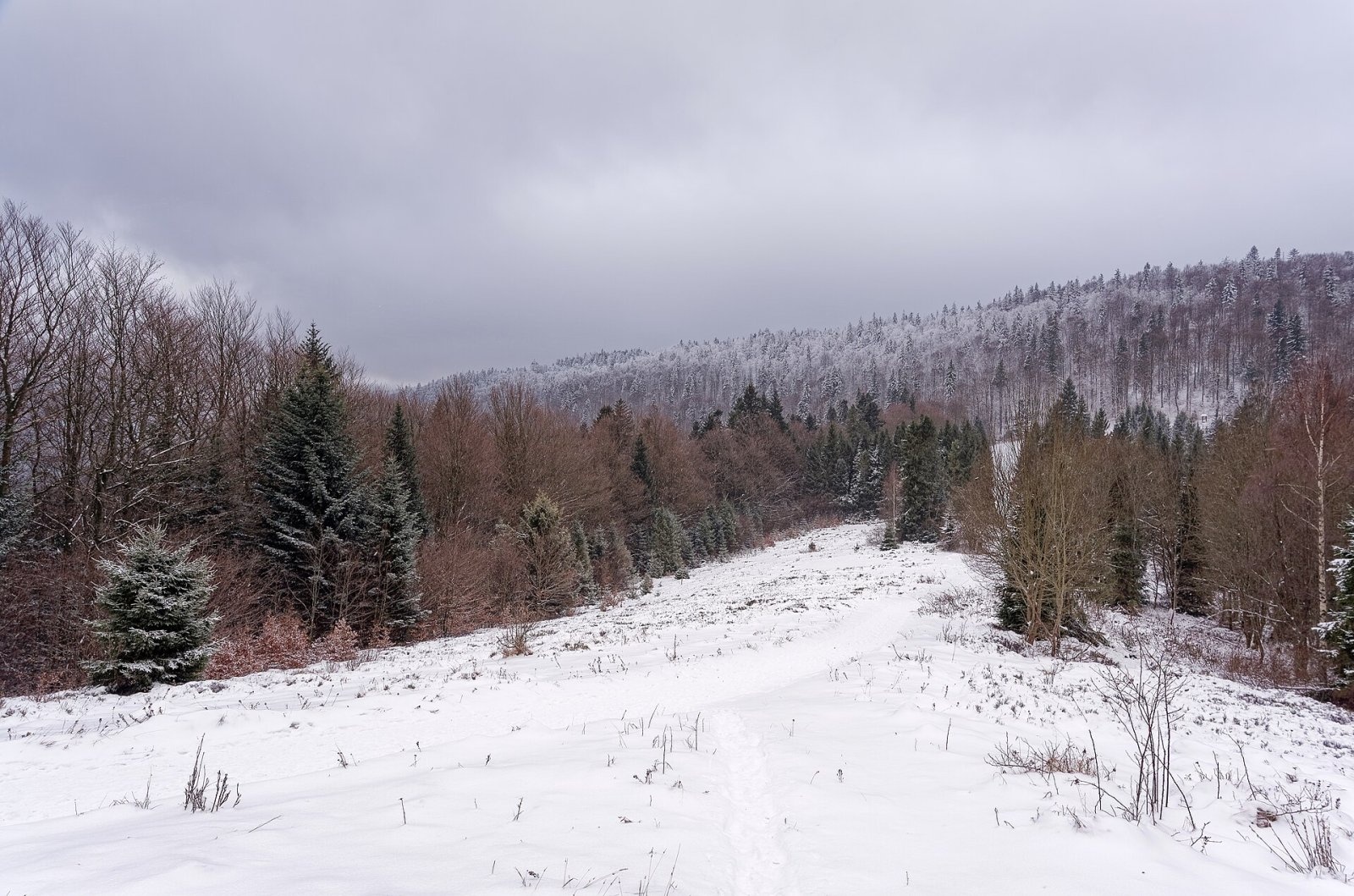
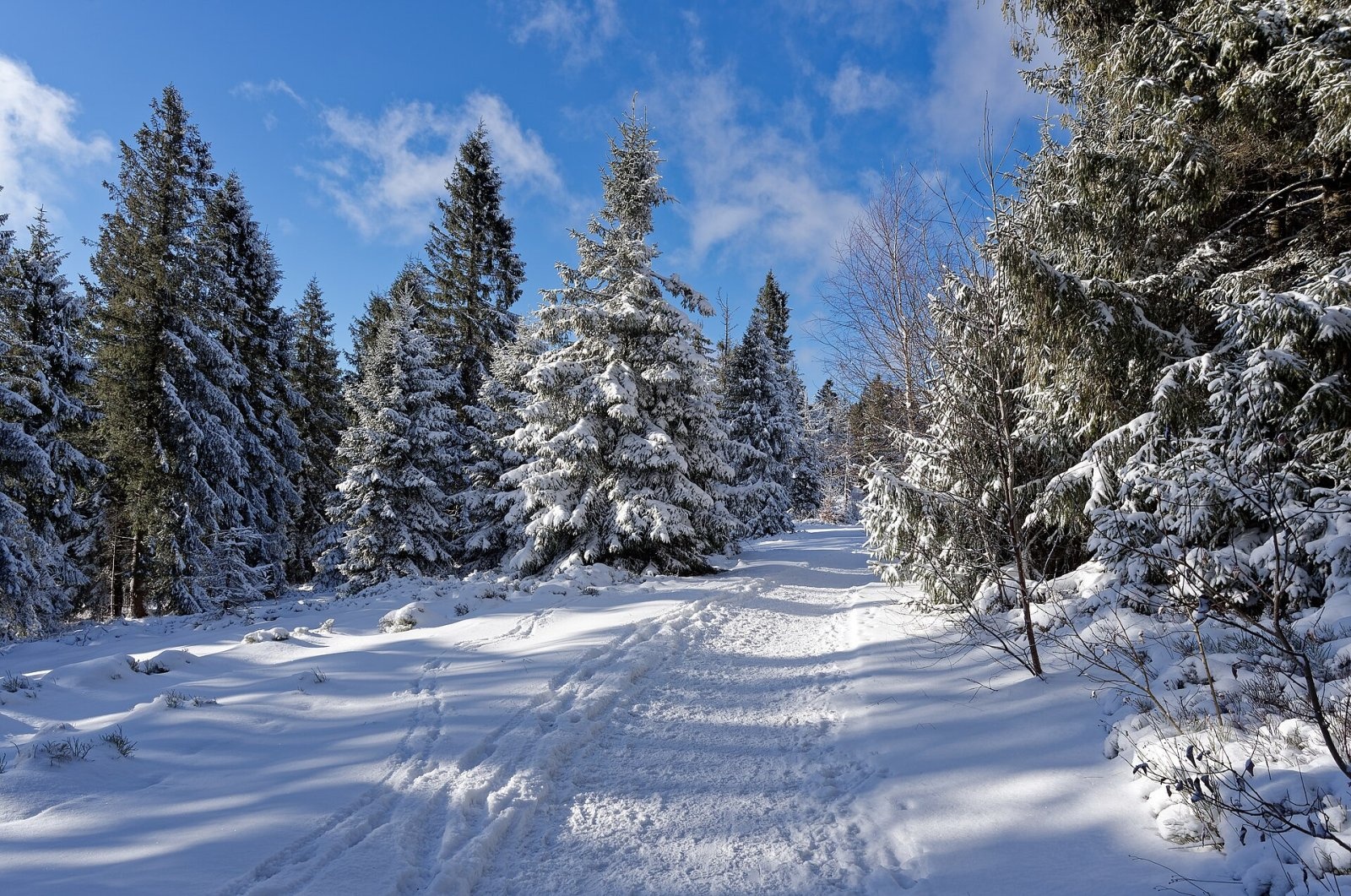
Obidowiec is a summit about 1,105 m high (1,104.6 m per Polish Wikipedia) on the main ridge of the Gorce mountains in southern Poland. This ridge runs from Turbacz via Rozdziele, Obidowiec, Groniki, Stare Wierchy, Jaworzyna, Skałka, Obidowa and Kułakowy Wierch to the Sieniawska pass; the watershed between the Raba and the Dunajec and marked hiking and cycling trails follow it. The summit lies in the Gorce National Park. The boundary between the villages of Obidowa (Nowy Targ County, southern slope, about 3.9 km away) and Poręba Wielka (Limanowa County, northern slope, 5.6 km) in the Lesser Poland Voivodeship runs over it.
The north-western slopes of Obidowiec descend to the Porębianka valley, the north-eastern ones to the Podobidowiec valley and the southern ones to the Obidowiec stream. The summit is the junction of a side ridge running north and ending with Suhora and Tobołów. The Obidowiec viewing glade lies near the top.
Getting there / trails
- red — the Main Beskid Trail (GSB), section Rabka-Zdrój – Tatarów – Maciejowa – Przysłop – Bardo – Jaworzyna Ponicka – Pośrednie – PTTK hut on Stare Wierchy – Groniki – Pudziska – Obidowiec – Rozdziele – Turbacz: 16.7 km, total ascent 970 m, descent 220 m, about 5 h 35 min (4 h 50 min back). From Stare Wierchy to Obidowiec takes 40 min (30 min down), from Turbacz 1 h 15 min (1 h 30 min back);
- green — Koninki – Tobołów – Suhora – Obidowiec: 4.1 km, 410 m of ascent, about 1 h 50 min (1 h 10 min down).
Times are from the Compass map cited by Polish Wikipedia. According to OpenStreetMap, a red cycling route to Turbacz and the Rabka-Zdrój – Turbacz ski route also cross the summit.
What you can see from the top
The Obidowiec ridge is covered with spruce forest, but the Obidowiec glade, smaller clearings and gaps between the trees open views of the Tatras, the Island Beskids and nearby Gorce summits. The bard of Podhale, Władysław Orkan, described this view of the Tatras as giant mountains, blood-red in the setting sun, seeming to leap straight into the sky with their rusty walls and pierce the blue with sharp peaks.
Nature and history
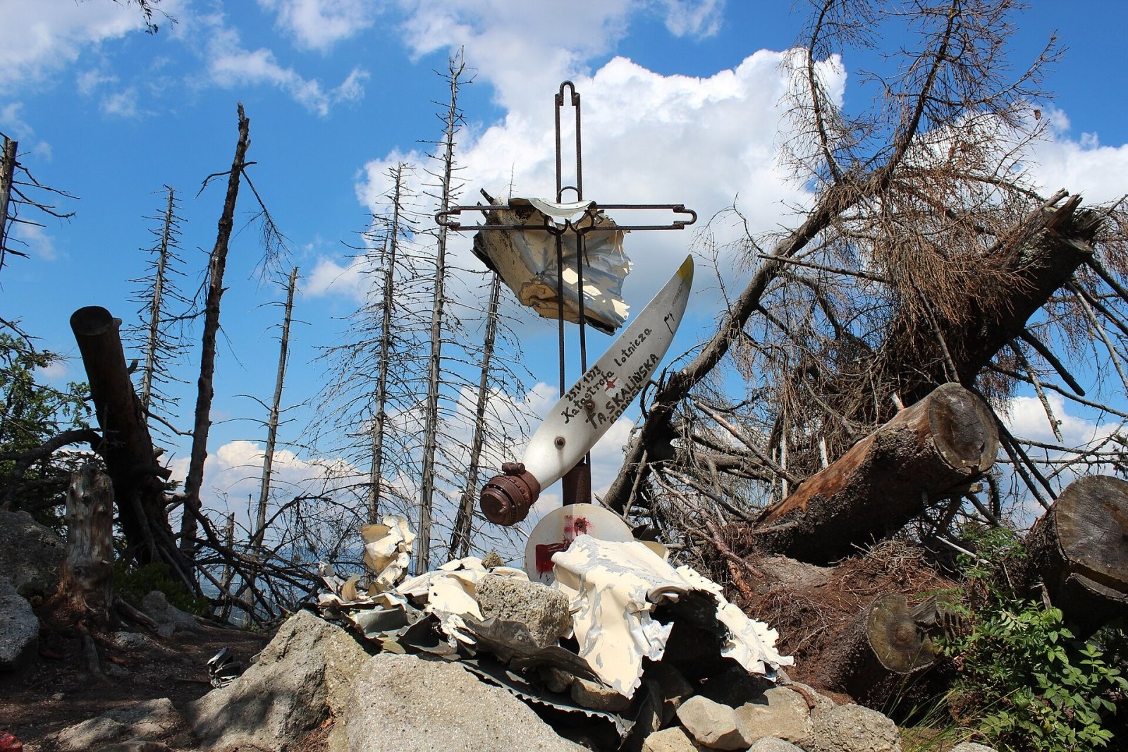
On the ridge towards Turbacz, right by the trail, stands a monument at the site of the crash of a Let L-200 Morava air ambulance on 25 May 1973. The plane was carrying a sick child to hospital in Rabka-Zdrój and flew in heavy snowfall. The child's mother was killed, the pilot suffered a serious spinal injury, and the child escaped serious harm. The Podhale group of GOPR from Rabka took part in the rescue. The monument is made of wreckage: the aircraft's skin, a disc with the Red Cross emblem and a fragment of the propeller bearing an inscription are fixed to an openwork cross.
Next to it, a line of rock "pulpits" and an outcrop of conglomerates and sandstones — the so-called Skałki Skalińskie — stretches for about 200 m. In spring crocuses bloom on the Obidowiec glade.
Safety, season and rules
The trails to Obidowiec are ridge and forest paths without rocky sections and can be walked all year round, but the 1973 crash is a reminder of how quickly the weather can turn here: in winter the ridge has deep snow and blizzards. The summit lies in the Gorce National Park: keep to marked trails, make no fires and leave no litter. Current rules are published by the Gorce National Park. Mountain rescue: GOPR, 985 or +48 601 100 300; the general emergency number is 112.
Interesting facts
- The watershed between the Raba and the Dunajec runs over Obidowiec.
- The monument by the trail is made of the wreckage of an air ambulance that crashed in 1973.
- Władysław Orkan described the view of the Tatras from Obidowiec in his prose.
On the same ridge: Jaworzyna Ponicka (996 m)
Further west, on the ridge from Stare Wierchy to Rabka, lies Jaworzyna Ponicka (996 m), between the tops of Bardo and Mnisko. The red Main Beskid Trail Rabka-Zdrój — Stare Wierchy — Obidowiec — Turbacz skirts it slightly below, on the south side. The top is indistinct and forested, so there are no views. Its north-eastern slopes belong to Gorce National Park; the summit itself lies outside it.
Photos: Jerzy Opioła, CC BY-SA 4.0; Jakub Hałun, CC BY 4.0; Jakub Hałun, CC BY 4.0; Rafał M. Socha (Azymut), CC BY-SA 4.0; Jakub Hałun, CC BY 4.0 — Wikimedia Commons.
Getting there from Ukraine
Border crossings
- Krakovets – Korczowa — road, 24/7
- Shehyni – Medyka — road, 24/7 Pedestrian crossing is not confirmed by the Ukrainian border service — check dpsu.gov.ua before the trip.
- Smilnytsia – Krościenko — road, 24/7
- Hrushiv – Budomierz — road, 24/7
- Mostyska – Przemyśl (rail) — rail, 24/7
By car
Lviv – Zakopane ≈421 km, ≈5 h 10 min without border queues. Route: M-10 Lviv – Krakovets → Krakovets – Korczowa checkpoint → A4 motorway (Rzeszów – Tarnów – Kraków) → Kraków southern bypass → S7/DK7 → DK47 ('Zakopianka') via Nowy Targ → Zakopane. The A4 Katowice – Kraków section (Balice and Mysłowice toll plazas) is tolled, but this route does not use it. In summer and at weekends the DK47 near Zakopane is often congested.
Checked 23.10.2026; border crossing hours and timetables change — check before you travel.
Location on the map
Water and shelter nearby
- Spring below Rozdziele2.1 km · Not verified · 1 089 m
- PTTK Hut on Stare Wierchy2.1 km · Standing · 968 m
- Hut below Rozdziele2.3 km · Not verified · 1 155 m
Comments
Trails nearby
All trails HardMulti-dayMarkedMain Trail of BeskidyElevation profile309–1 723 m499.9 kmascent 19 519 munder 1 km from Obidowiec
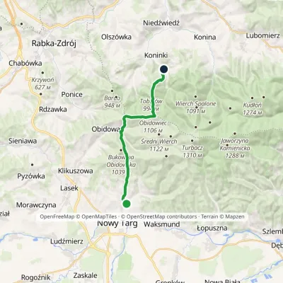 ModerateOne-dayMarkedKoninki Kowaniecvia Stare WierchyElevation profile604–1 107 m14.3 kmascent 721 m≈ 5 h walkingunder 1 km from Obidowiec
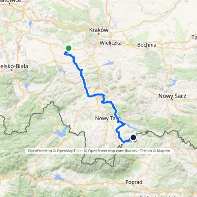 HardMulti-dayMarkedBrzeźnica KacwinElevation profile220–1 289 m143 kmascent 4 206 m1.9 km from Obidowiec
Nearby attractions
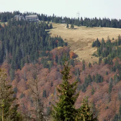 PeakTurbaczObidowaaltitude 1 310 m3.6 km from ObidowiecTurbacz is the highest peak of the Gorce Mountains, 1,310 m high, lying at the very centre of the range in southern Lesser Poland, about 30 km north of Zakopane.
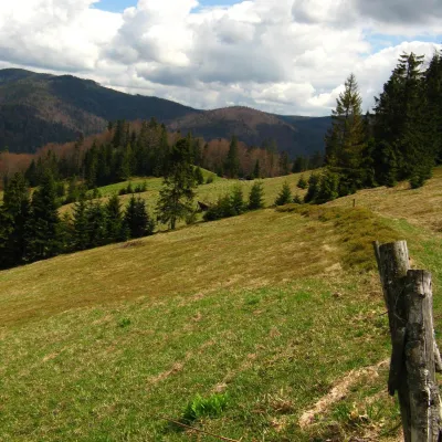 Mountain meadowTurbaczyk GladeKoninaaltitude 1 025 m4.1 km from ObidowiecTurbaczyk is a summit meadow on the mountain of the same name in the Gorce, on the northern side of the Turbacz massif.
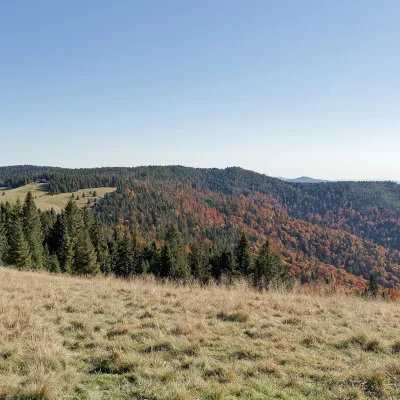 Mountain meadowHala Długa below TurbaczKoninkialtitude 1 202 m4.8 km from ObidowiecHala Długa is a large mountain glade on the ridge of Turbacz, the highest peak of the Gorce (1,310 m).
Craft nearby
All craft places Water parks & thermal poolsTermy Gorce thermal bathsNiedźwiedź6.4 km from ObidowiecTermy Gorce is a small, cosy thermal complex in the village of Poręba Wielka, in the municipality of Niedźwiedź, at the foot of the Gorce Mountains.
 Markets & fairsNowy Targ Fair (Nowa Targowica)Nowy Targ8.5 km from ObidowiecThe fair in Nowy Targ is the largest and oldest market in Podhale. On Thursdays and Saturdays highlanders from the surrounding villages, Slovaks from across the border...
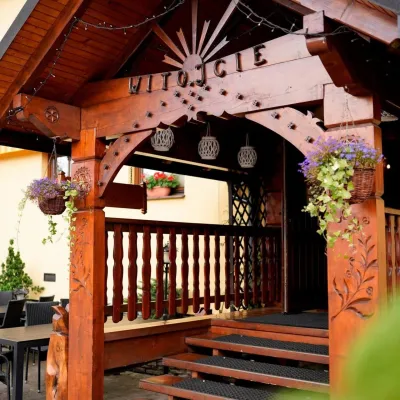 Koliby & Hutsul cuisineKarcma u Borzanka, Nowy Targ: highland food in an 18th-century innNowy Targ9 km from ObidowiecKarcma u Borzanka is a highland tavern in the oldest coaching inn of Nowy Targ, the capital of Podhale.
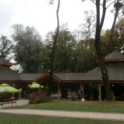 Water parks & thermal poolsRabka-Zdrój spa: brine graduation tower, pump rooms, treatmentsRabka-Zdrój9.6 km from ObidowiecRabka-Zdrój is a spa in the Raba valley between the Gorce, the Beskid Wyspowy and the Beskid Makowski, halfway from Kraków to Zakopane.
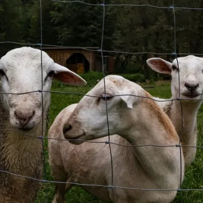 Eco farmsOrawskie Ranczo Educational Farm, Harkabuz: animals and craft workshopsHarkabuz17 km from ObidowiecOrawskie Ranczo is a small family educational farm (zagroda edukacyjna) in the village of Harkabuz near Raba Wyżna, where Orawa meets Podhale.
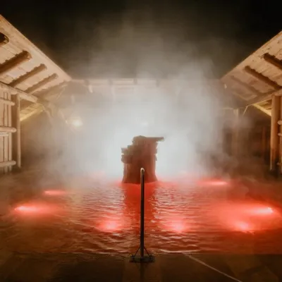 Water parks & thermal poolsTermy Gorący Potok (Szaflary)Bańska Niżna18 km from ObidowiecTermy Gorący Potok is a complex of outdoor thermal pools in Szaflary, between Nowy Targ and Zakopane, about 15 km from Zakopane.
