May lily
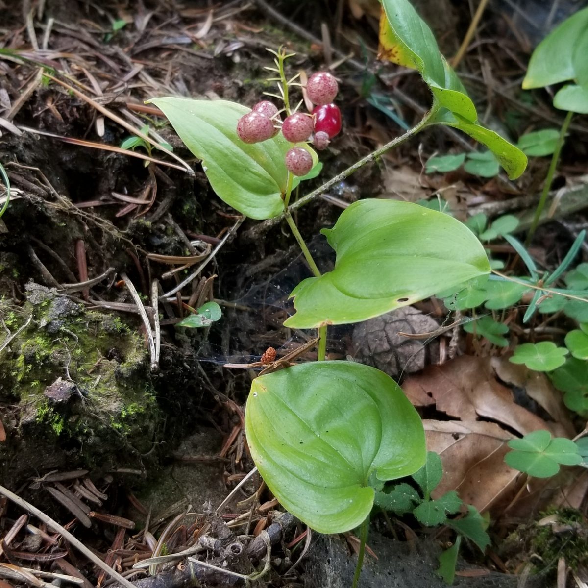
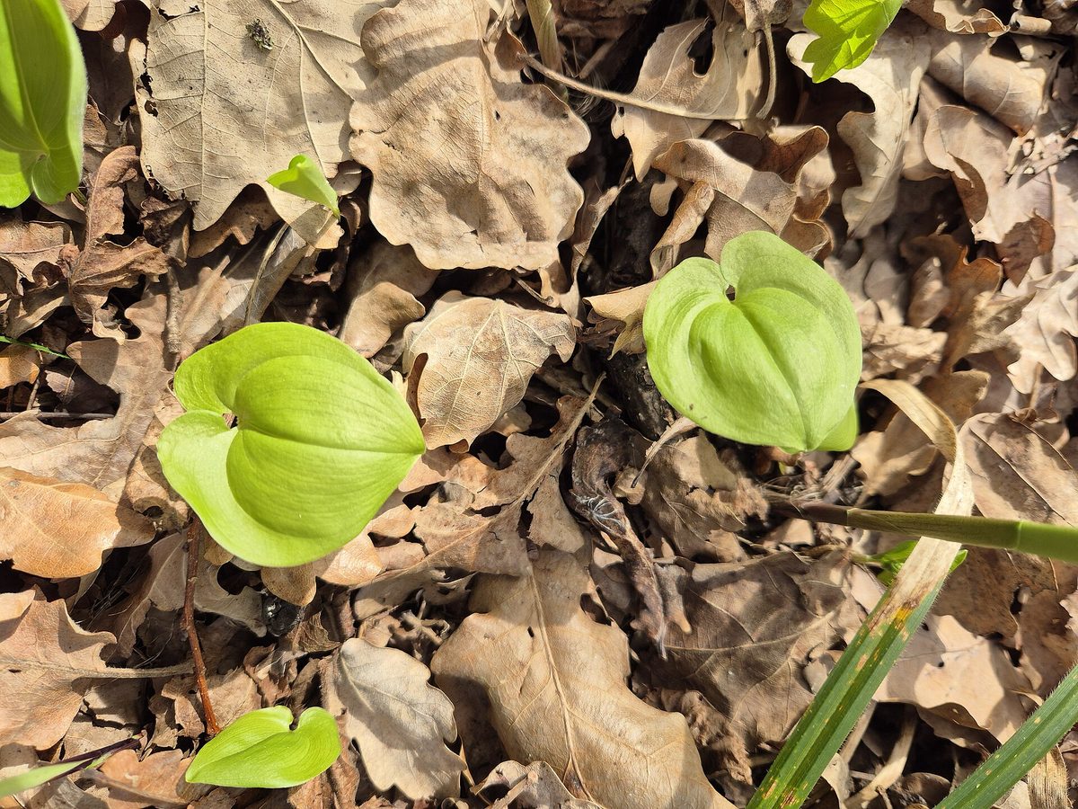
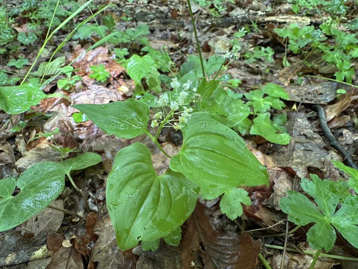
Never eat berries you are not sure about and never give unknown berries to children. In case of poisoning call 112 (103 in Ukraine).
About
May lily is a low perennial plant 5–20 cm tall. Thanks to its long creeping rhizome, it covers the forest floor in entire carpets. On the flowering stem, there are two alternate heart-shaped leaves with arcuate veins; in non-flowering plants, there is only one leaf on a long petiole.
It blooms in May – June. At the top of the stem, a cluster of 10–25 small fragrant white flowers opens; each has four petals that are bent backward. The berries are spherical, 4–6 mm, initially greenish with red spots, and by the end of summer – cherry-red and shiny.
In the Carpathians, May lily is one of the most common herbs in spruce, fir, beech, and mixed forests on acidic soils. It grows from the foothills to the upper forest limit, also found in crooked forests, often alongside bilberry and cowberry.
The entire plant, especially the berries, is poisonous: it contains substances that affect the heart and irritate the stomach and intestines. The red berries ripen at the time of harvesting bilberries and grow in the same forests, so be cautious when children are picking berries.
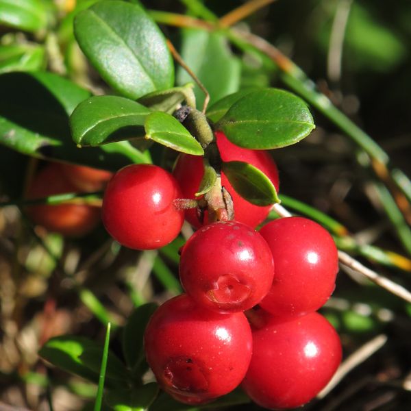
It is difficult to confuse May lily with cowberry if you look at the leaves. Cowberry is an evergreen shrub with small leathery leaves on woody stems. In May lily, the stem is herbaceous, and there are only two large heart-shaped leaves.
Where in the Carpathians

Teal — roughly where the species can occur, by elevation and habitat; orange — where naturalists recorded it (GBIF, CC0/CC BY).
Range: elevation belt and forests — our model (AWS Terrain Tiles; © OpenStreetMap)
- Countries
- Ukraine · Slovakia · Czechia · Poland · Romania · Hungary
- Mountain ranges
- nearly all Carpathian ranges, in the forest belt
- Altitude belts
- Foothills (below 600 m) · Beech forests (600–1200 m) · Conifer forests (1200–1600 m)
When to see it
| Jan | Feb | Mar | Apr | May | Jun | Jul | Aug | Sep | Oct | Nov | Dec | |
|---|---|---|---|---|---|---|---|---|---|---|---|---|
| Flowering | ||||||||||||
| Fruit |
From naturalists’ observations in the Carpathians (iNaturalist, research grade): the darker the cell, the more often the species is seen that month.
Safety
The entire plant is poisonous, especially the red berries. Do not taste them and keep an eye on children. In case of suspected poisoning, call 103 (or 112).
Look-alikes — how to tell them apart
An evergreen shrub with small leathery leaves; berries are gathered in dense clusters on woody stems.
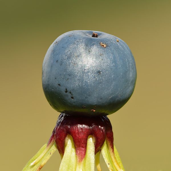
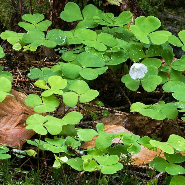
A significantly larger plant with two to three long broad leaves from the ground; flowers are white bells, berries are orange-red and larger.
Protection and rules
Not listed in the Red Book of Ukraine.
FAQ
Are the berries of May lily poisonous?
Yes. The red berries, like the entire plant, are poisonous: they affect the heart and digestion.
How to distinguish May lily from cowberry?
May lily has a soft herbaceous stem with only two large heart-shaped leaves. Cowberry is a shrub with many small leathery leaves.
Comments
Travellers’ experience: reports, tips, questions.
No one has written here yet. Be the first — your experience helps others.
Similar species
Where to meet it
Trails
 ModerateOne-dayLybokhora village to Kozakivka villagevia Mount MatahivElevation profile583–1 217 m22.4 kmascent 700 m≈ 7 h walking
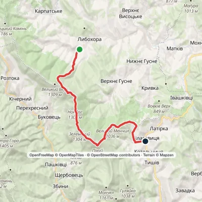 HardOne-dayLybokhora village to Bilasovytsia villagevia Mount PikuiElevation profile557–1 408 m23 kmascent 917 m≈ 7.5 h walking
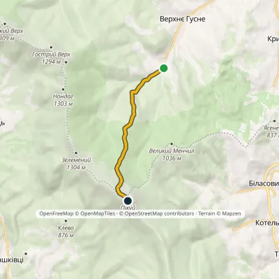 EasyOne-dayMarkedNo. 5020 Verkhnie Husne Mount PikuiElevation profile749–1 408 m5.8 kmascent 662 m≈ 2.5 h walking
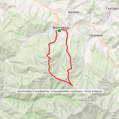 ModerateOne-dayVolovets loopvia Mount Plai, Mount TemnatykElevation profile483–1 343 m17.2 kmascent 1 102 m≈ 6 h walking
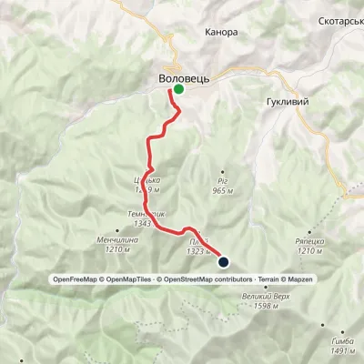 ModerateOne-dayVolovets Mount TemnatykElevation profile492–1 343 m9.8 kmascent 997 m≈ 4 h walking
 Hard1–2 daysSianky village to Mount Pikuivia Mount Starostyna, Mount Velykyi VerkhElevation profile833–1 408 m31.9 kmascent 1 558 m≈ 10.5 h walking
 Hard1–2 daysBystrytsia village loopvia Mount Vedmezhyk, Mount DovbushankaElevation profile816–1 754 m34.9 kmascent 1 221 m≈ 11 h walking
 HardTwo-dayMarkedBilasovytsia village to Sianky villagevia Mount Pikui, the Ruska Put Pass +1Elevation profile557–1 408 m41.1 kmascent 1 859 m≈ 13.5 h walking
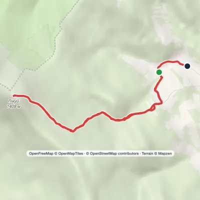 ModerateOne-dayMarkedBilasovytsia village loopvia Mount PikuiElevation profile622–1 408 m8.9 kmascent 750 m≈ 3.5 h walking
 HardOne-dayMarkedBilasovytsia village to Mount Starostynavia Mount Pikui, Mount Velykyi VerkhElevation profile804–1 408 m22.1 kmascent 1 246 m≈ 7.5 h walking
 ModerateOne-dayMarkedPashkivtsi village Mount Hostra HoraElevation profile482–1 345 m5.8 kmascent 872 m≈ 3 h walking
 ModerateOne-dayLybokhora village to Bilasovytsia villagevia Mount Velykyi Verkh, Mount PikuiElevation profile593–1 408 m21.1 kmascent 882 m≈ 6.5 h walking
Peaks and meadows
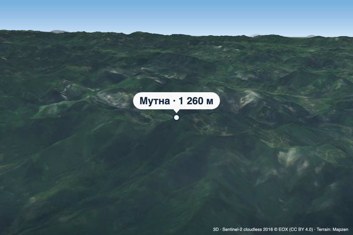 PeakMount MutnaKamiankaaltitude 1 260 m · Skole Beskids rangeMutna is a 1,260 m summit on the Zelemianka ridge in the Skole Beskids, Lviv Oblast.
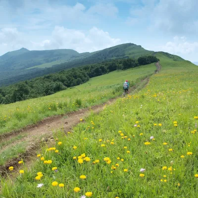 PeakMount NondahPerekhresnyialtitude 1 303 m · Watershed Ridge range1 trail to the topNondah is a 1,303 m summit on the Vododilnyi (Verkhovyna Watershed) Ridge, on the border of Lviv and Zakarpattia...
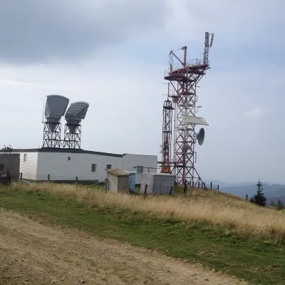 PeakMount PlaiVolovetsaltitude 1 323 m · Borzhava rangePlai is a 1,323 m mountain in the Polonyna Borzhava massif (Polonynskyi Ridge), in the Mukachevo district of...
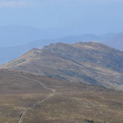 PeakMount ZelemenyiShcherbovetsaltitude 1 304 m · Watershed Ridge range1 trail to the topZelemenyi is a 1,304 m summit on the Vododilnyi (Verkhovyna Watershed) Ridge of the Ukrainian Carpathians.
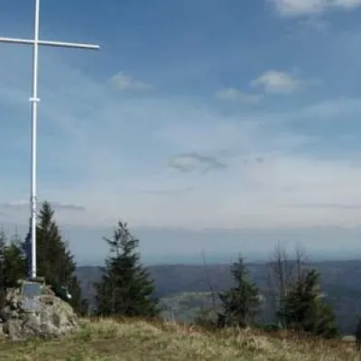 PeakMount LopataKorostivaltitude 1 211 m14 trails to the topThe mountain is located on the Zelemyanka ridge at a distance of 8 km south of the town of Skole.
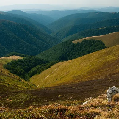 Mountain meadow1 400 mPolonyna BorzhavaPylypetsPolonyna Borzhava is the longest polonyna massif in Zakarpattia and one of the best known in the Polonynskyi Ridge of...
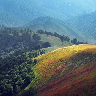 PeakMount Biletsky VerkhPodobovetsaltitude 1 146 m · Borzhava range1 trail to the topBiletsky Verkh is a mountain 1146 m above sea level on the Borzhava ridge.
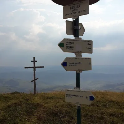 PeakMount RiapetskaPodobovetsaltitude 1 210 m · Borzhava rangeRiapetska (1210 m) is a summit of the Polonyna Borzhava massif on the Polonynian Ridge of the Ukrainian Carpathians.
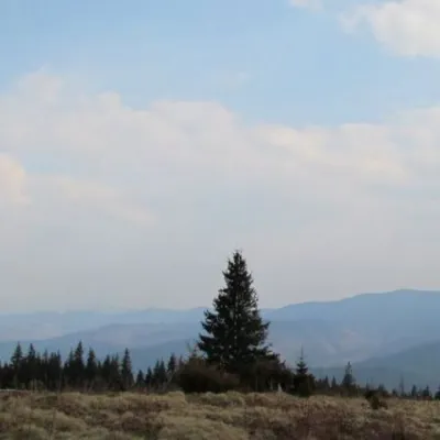 Mountain meadow1 200 mPolonyna ShchivkaYaremcheThe Shchivka meadow has a very good location. Its length is about 700 meters, it has a slight slope, which protects...
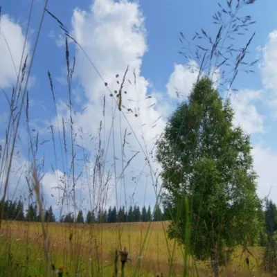 Mountain meadow1 184 mPolonyna ShuvarenkoNadvirna districtShuvarenko Polonyna is a high mountain meadow in the Ukrainian Carpathians, located in Ivano-Frankivsk region near...
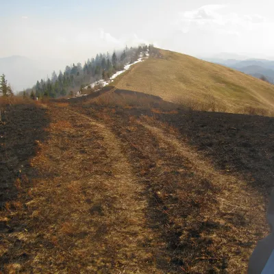 PeakMount Vysokyi Verkh (Rosokhatskyi)Rosokhachaltitude 1 177 m · Skole Beskids range2 trails to the topVysokyi Verkh (Rosokhatskyi) is a 1,176.8 m summit on the border of the Skole Beskids and the Stryi-Sian Highland.
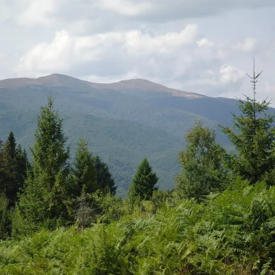 Mountain meadow1 400 mPolonyna Rivna (Runa)LumshoryPolonyna Rivna, more often called Runa in Zakarpattia (in the local dialect "runa" means exactly "flat"), is a broad,...
Waters and waterfalls
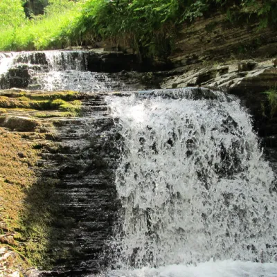 WaterfallSukil WaterfallsSukilNear the village of Sukil in the Bohorodchany urban hromada, the Sukil Waterfalls are truly a paradise for tourists...
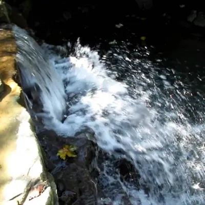 WaterfallBagrovetsky waterfallYaremcheBagrovetsky Waterfall is one of the most famous waterfalls in the Yaremche region, located in the city of Yaremche.
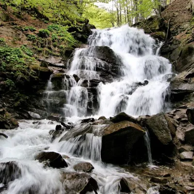 Waterfall"Shypit Waterfall" PylypetsPylypetsIn a cozy corner of the Carpathian Mountains, among the evergreen mountain forests and steep, sharp cliffs, lies the...
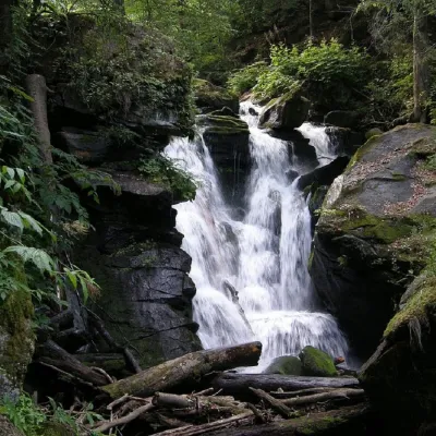 WaterfallVojvodyn waterfallPolianska HutaThe Voyevodyn Waterfall is located on the stream of the same name near the village of Zhdeniyevo in Zakarpattia...
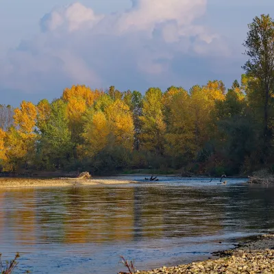 RiverTysa River (Tisza)RakhivThe Tysa (Tisza) is the main river of Zakarpattia. It begins on the north-eastern edge of Rakhiv, where the Chorna...
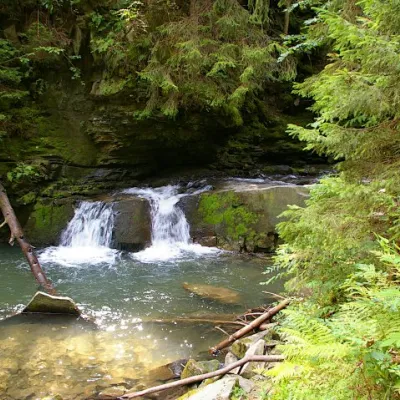 WaterfallWaterfall Maiden's Tears, YaremcheYaremcheMaiden's Tears is a waterfall in the Ukrainian Carpathians (Gorgany massif).
Mountain ranges: In other countries: 🇸🇰 Slovak Ore Mountains, 🇸🇰 Greater Fatra, 🇸🇰 High Tatras, 🇸🇰 Strážov Mountains, 🇸🇰 Volovec Mountains, 🇸🇰 Lesser Fatra, 🇸🇰 Low Tatras, 🇨🇿 Moravian-Silesian Beskids, 🇸🇰 Western Tatras, 🇸🇰 Belianske Tatras, 🇵🇱 Żywiec Beskids, 🇸🇰 Slovak Paradise, 🇨🇿 White Carpathians, 🇸🇰 Levoča Mountains
Trails and peaks near which naturalists recorded the species (GBIF, iNaturalist), matched by altitude and habitat. Sightings are not guaranteed.
Sources
- Вікіпедія: Веснівка дволиста
- Wikipedia (en): Maianthemum bifolium
- Wikipedia (pl): Konwalijka dwulistna
- iNaturalist: Maianthemum bifolium (спостереження в Карпатах)
GBIF · iNaturalist · Wikidata · Distribution data: GBIF.org (CC0 and CC BY records), iNaturalist; names and identifiers: Wikidata (CC0). Text: Karpaty.rocks, checked 11.11.2026.
