Wood sorrel
About
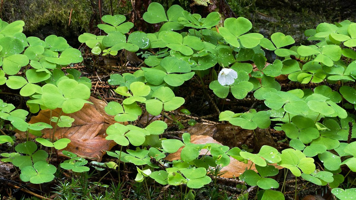
Wood sorrel is a small plant that covers the ground in shady forests with dense carpets. It grows in coniferous and mixed forests, in mossy areas, near stumps and streams. It is also found in the Carpathian forests, where there is little light and plenty of moisture.
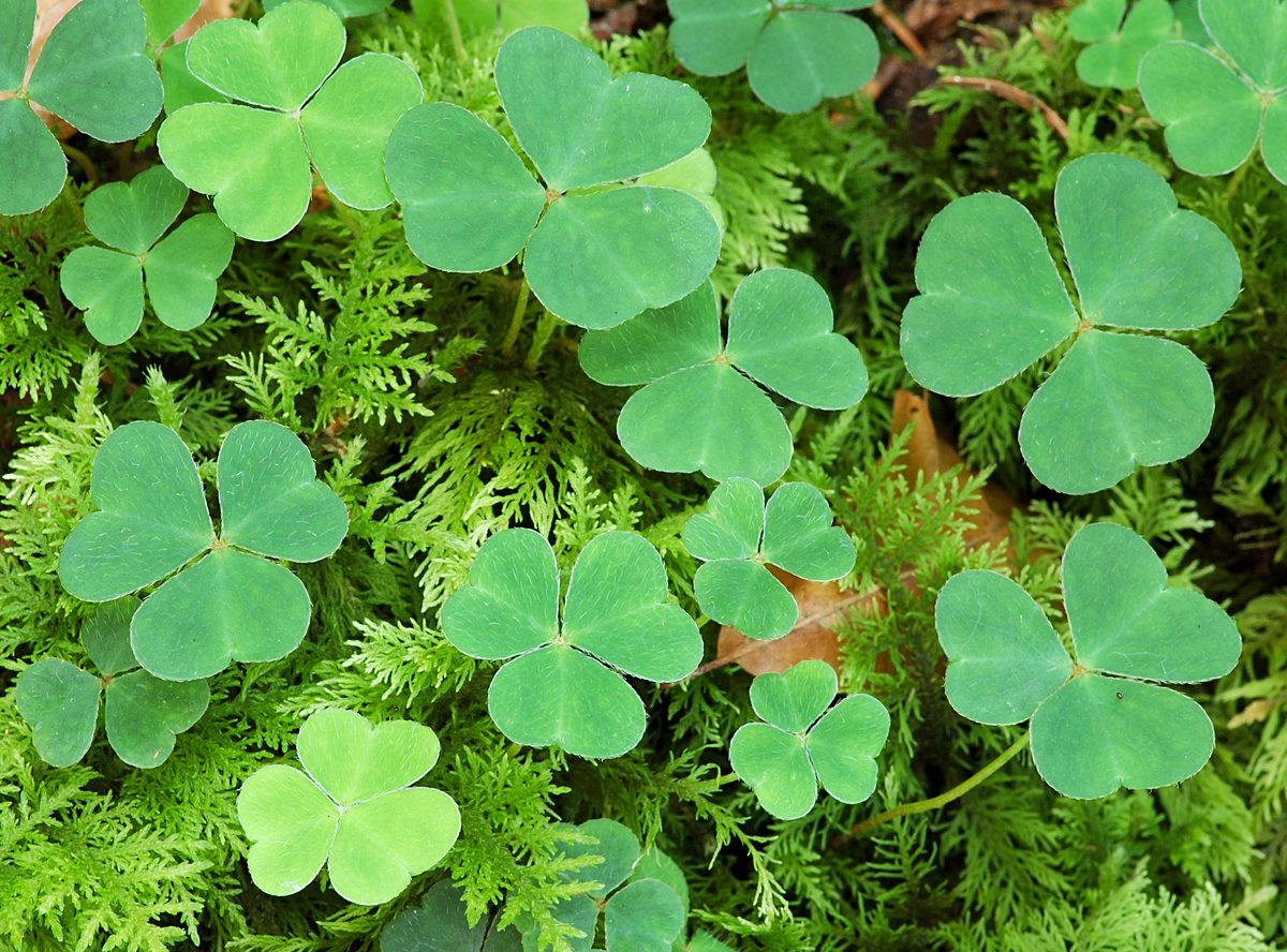
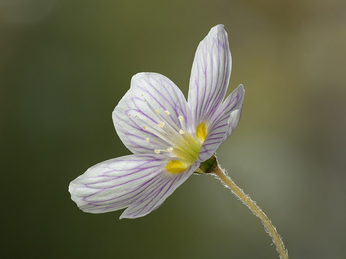
This perennial herb is only 6–12 cm tall with a thin creeping rhizome. The leaves are trifoliate, on long petioles; the three heart-shaped leaflets are folded along the central vein, so the plant is often confused with clover. The flowers are solitary, on thin pedicels, with five white petals 8–15 mm long, adorned with pink or purple veins; they are occasionally pink. It blooms in May – June. In most of Europe, this is the only wild species of its kind.
Wood sorrel 'reacts' to the weather. At night and during rain, the flowers close, and the leaflets fold down like an umbrella. Thus, in the forest, one can see how the carpet of wood sorrel changes appearance in just a few minutes.
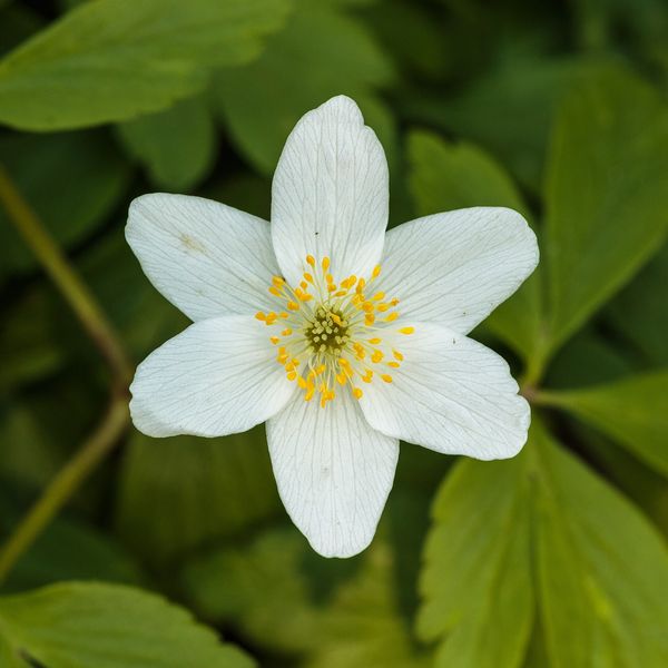
The leaves have a pleasant sour taste, which is why the plant is called rabbit sorrel. Once, a sorrel acid salt was even boiled from the plant, which was called 'kvasenytsia'. The leaves are sometimes chewed on the trail, but they are rich in oxalic acid, so it is not advisable to eat wood sorrel in large quantities. It can be distinguished from the similar Anemone nemorosa by its trifoliate 'clover' leaves and solitary flowers on leafless pedicels.
Where in the Carpathians

The map shows where naturalists recorded the species (GBIF, CC0 and CC BY records), not every place it lives. The Ukrainian Carpathians are less studied, so a blank area does not mean the species is absent.
- Countries
- Slovakia · Czechia · Poland · Ukraine · Romania · Hungary
- Mountain ranges
- Moravian-Silesian Beskids, Slovak Ore Mountains, Strážov Mountains, High Tatras, Western Tatras, Low Tatras, Greater Fatra, Lesser Fatra, Volovec Mountains, Belianske Tatras
- Altitude belts
- Foothills (below 600 m) · Beech forests (600–1200 m) · Conifer forests (1200–1600 m)
When to see it
| Jan | Feb | Mar | Apr | May | Jun | Jul | Aug | Sep | Oct | Nov | Dec | |
|---|---|---|---|---|---|---|---|---|---|---|---|---|
| Flowering | ||||||||||||
| Fruit |
From naturalists’ observations in the Carpathians (iNaturalist, research grade): the darker the cell, the more often the species is seen that month.
Safety
The leaves contain a lot of oxalic acid: it is not advisable to eat them in large quantities.
Look-alikes — how to tell them apart
The leaves are palmately lobed, sitting in a ring of three on the stem below the flower; the flower has six to eight white tepals. The plant is poisonous.
The leaflets are oval, not heart-shaped, often with a white pattern; the flowers are small, gathered in globular heads; it grows in meadows, not in shady forests.
In folk tradition
Sour leaves are sometimes eaten, but in small amounts.
Protection and rules
Not protected.
FAQ
What sour 'clover' grows in the forest?
This is wood sorrel, or rabbit sorrel. Its trifoliate leaves have a sour taste due to oxalic acid.
Why does wood sorrel fold its leaves?
At night and during rain, the flowers of wood sorrel close, and the leaflets fold.
Similar species
Where to meet it
Trails
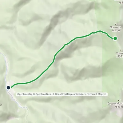 EasyOne-dayMarkedMount Ukernia Mount Serednia MehlaElevation profile883–1 616 m5.1 km≈ 1.5 h walking
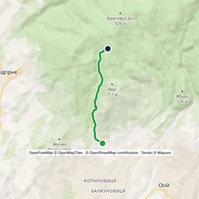 EasyOne-dayMarkedNovoselytsia Smerekovyi StoneElevation profile322–729 m4.3 km≈ 1 h walking
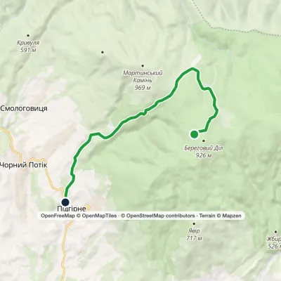 EasyOne-dayMarkedPidhirne Kupinkuvatevia Chorne BahnoElevation profile341–925 m10.8 kmascent 44 m≈ 3 h walking
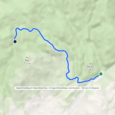 EasyOne-dayMarkedKamianka tract Enchanted ValleyElevation profile363–771 m6.8 kmascent 412 m≈ 2.5 h walking
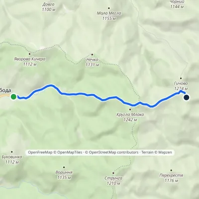 EasyOne-dayMarkedSvoboda Hycha polonynaElevation profile923–1 285 m5.7 kmascent 391 m≈ 2 h walking
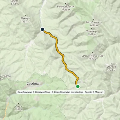 EasyOne-dayMarkedHycha BeskydElevation profile810–1 285 m9.6 kmascent 23 m≈ 2.5 h walking
Peaks and meadows
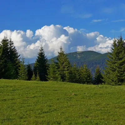 Mountain meadowPolonyna HychaSvobodaPolonyna Hycha is a cozy meadow in the Ukrainian Carpathians, located in the Rozhniativ district of Ivano-Frankivsk...
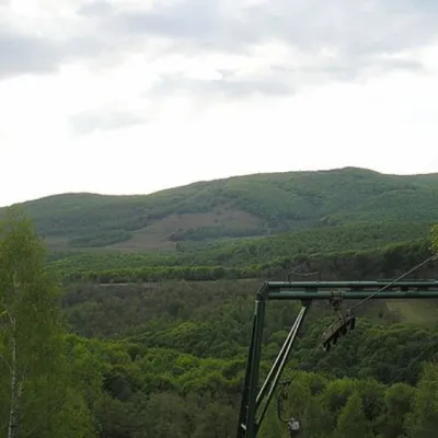 PeakMount BuzhoraOsiialtitude 1 085 m · Volcanic Carpathians range1 trail to the topMount Buzhora is the highest peak of the Volcanic Ridge of Ukrainian Carpathians.
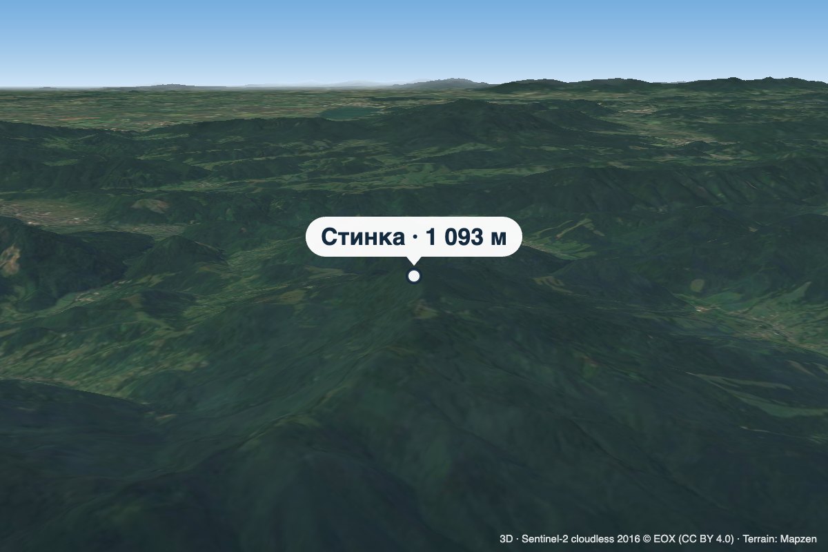 PeakMount StynkaKniahyniaaltitude 1 093 mStynka (Slovak: Stinská) is a 1,093 m mountain on the state border between Ukraine and Slovakia, in the Bukovské...
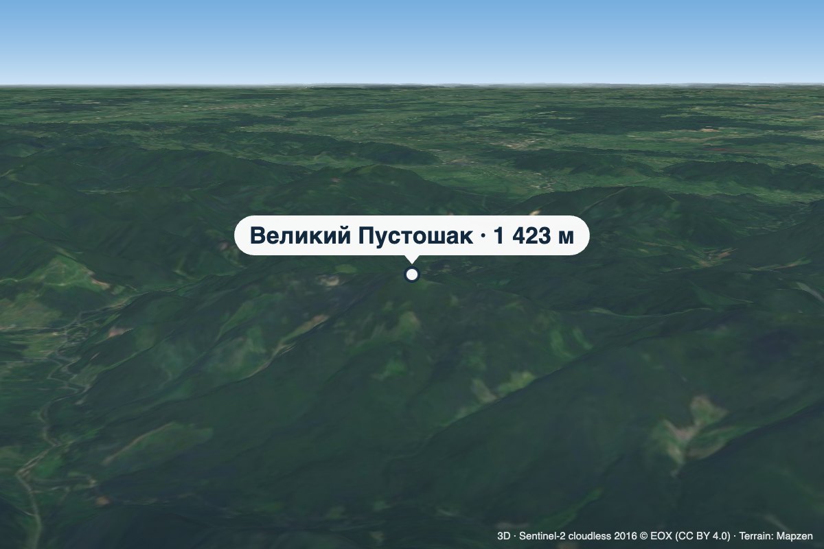 PeakMount Velykyi PustoshakMyslivkaaltitude 1 423 m · Gorgany rangeVelykyi Pustoshak is a 1,423 m summit (1,427 m according to other sources) in the northern Gorgany, in the Kalush...
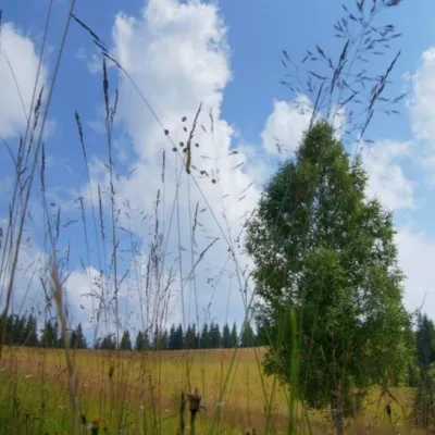 Mountain meadow1 184 mPolonyna ShuvarenkoNadvirna districtShuvarenko Polonyna is a high mountain meadow in the Ukrainian Carpathians, located in Ivano-Frankivsk region near...
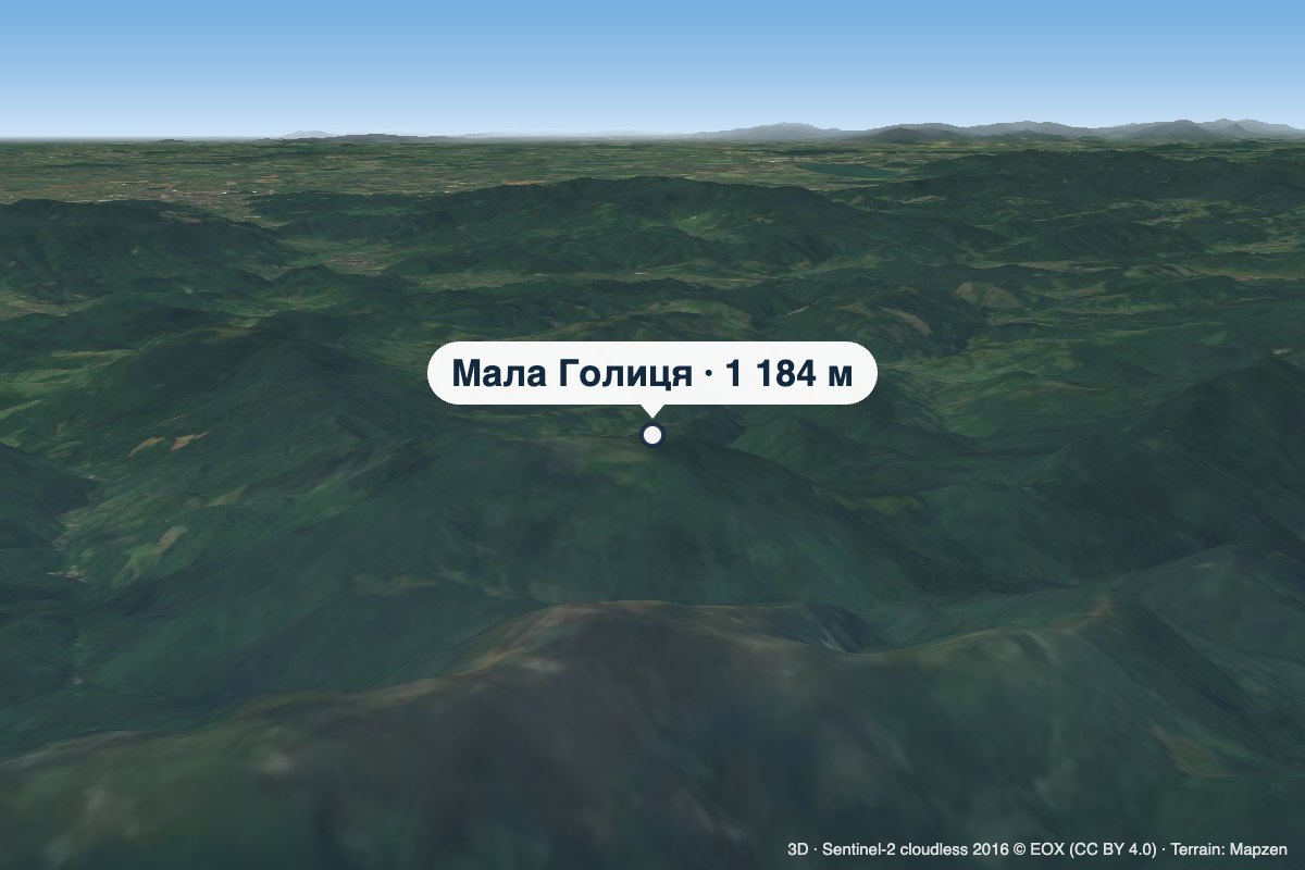 PeakMount Mala HolytsiaLumshoryaltitude 1 184 mMala Holytsia (“Little Holytsia”) is a 1,184 m summit in the north-western part of the Polonynskyi Ridge in...
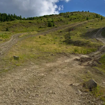 PeakMount KaminnaSopkyaltitude 1 127 m · Borzhava rangeKaminna (sometimes called Kamiana) is a 1,127 m summit in the south-eastern part of the Polonyna Borzhava massif in...
 Mountain meadow1 189 mPolonyna-KukMizhhiriaVery beautiful scenery, there is a spring and places to spend the night with a tent down the road to Mount Cook.
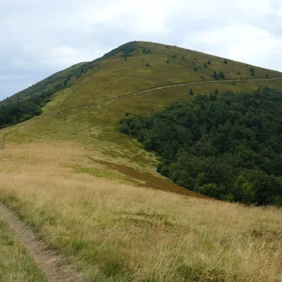 PeakMount KukLysychovoaltitude 1 361 m · Borzhava rangeKuk is a mountain in the south-eastern part of the Polonyna Borzhava massif in Zakarpattia Oblast.
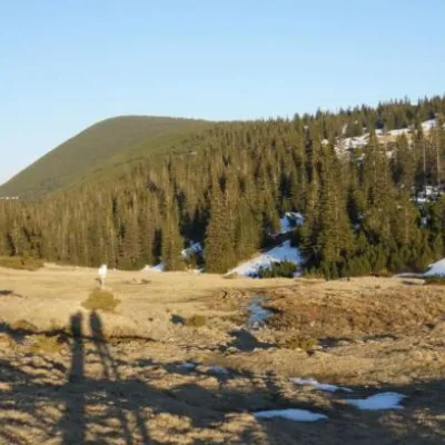 Mountain meadow1 409 mPolonyna RuschynaOsmolodaRuschyna meadow is famous for its panoramic views of the mountains that surround it from all sides and the diversity...
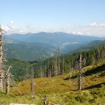 PeakMount TavpyshBystrytsiaaltitude 1 450 m · Gorgany rangeTavpysh is a 1,450 m summit of the Tavpyshyrka ridge in the central Gorgany, in the Nadvirna district of Ivano...
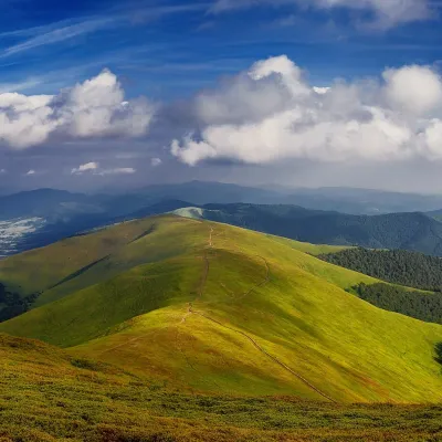 PeakMount HrabPotikaltitude 1 374 m · Borzhava rangeHrab is a summit in the Polonyna Borzhava massif (Ukrainian Carpathians) on the border of the Svaliava and Mizhhiria...
Waters and waterfalls
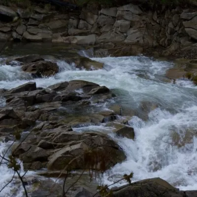 WaterfallMizun waterfallsNovyi MizunMizunski waterfalls are a great place for lovers of mountain recreation.
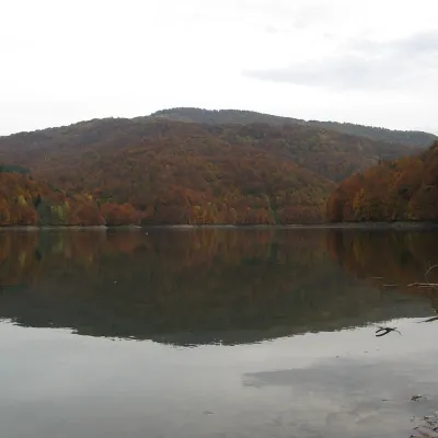 LakeVilshany ReservoirVilshanyThe Vilshany Reservoir, also called the Tereblia-Rika Reservoir, is a narrow mountain lake in the Tereblia valley...
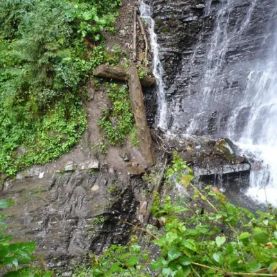 WaterfallZhenetsky Hook waterfallMykulychynZhenetskyi Huk is one of the most convenient Carpathian waterfalls for tourists, as it is accessible by a direct,...
Mountain ranges: Bieszczady. In other countries: 🇨🇿 Moravian-Silesian Beskids, 🇸🇰 Slovak Ore Mountains, 🇸🇰 Strážov Mountains, 🇸🇰 High Tatras, 🇸🇰 Western Tatras, 🇸🇰 Low Tatras, 🇸🇰 Greater Fatra, 🇸🇰 Lesser Fatra, 🇸🇰 Volovec Mountains, 🇸🇰 Belianske Tatras, 🇨🇿 White Carpathians, 🇵🇱 Żywiec Beskids, 🇸🇰 Javorníky
Trails and peaks near which naturalists recorded the species (GBIF, iNaturalist), matched by altitude and habitat. Sightings are not guaranteed.
Sources
- Вікіпедія: Квасениця звичайна
- Wikipedia (en): Oxalis acetosella
- iNaturalist: Oxalis acetosella (спостереження в Карпатах)
GBIF · iNaturalist · Wikidata · Distribution data: GBIF.org (CC0 and CC BY records), iNaturalist; names and identifiers: Wikidata (CC0). Text: Karpaty.rocks, checked 09.11.2026.
