Wild strawberry
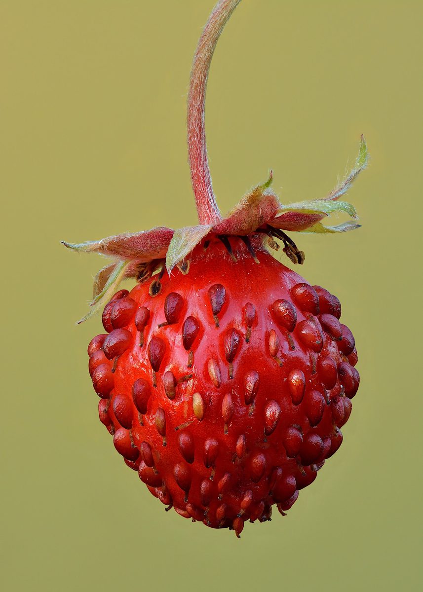
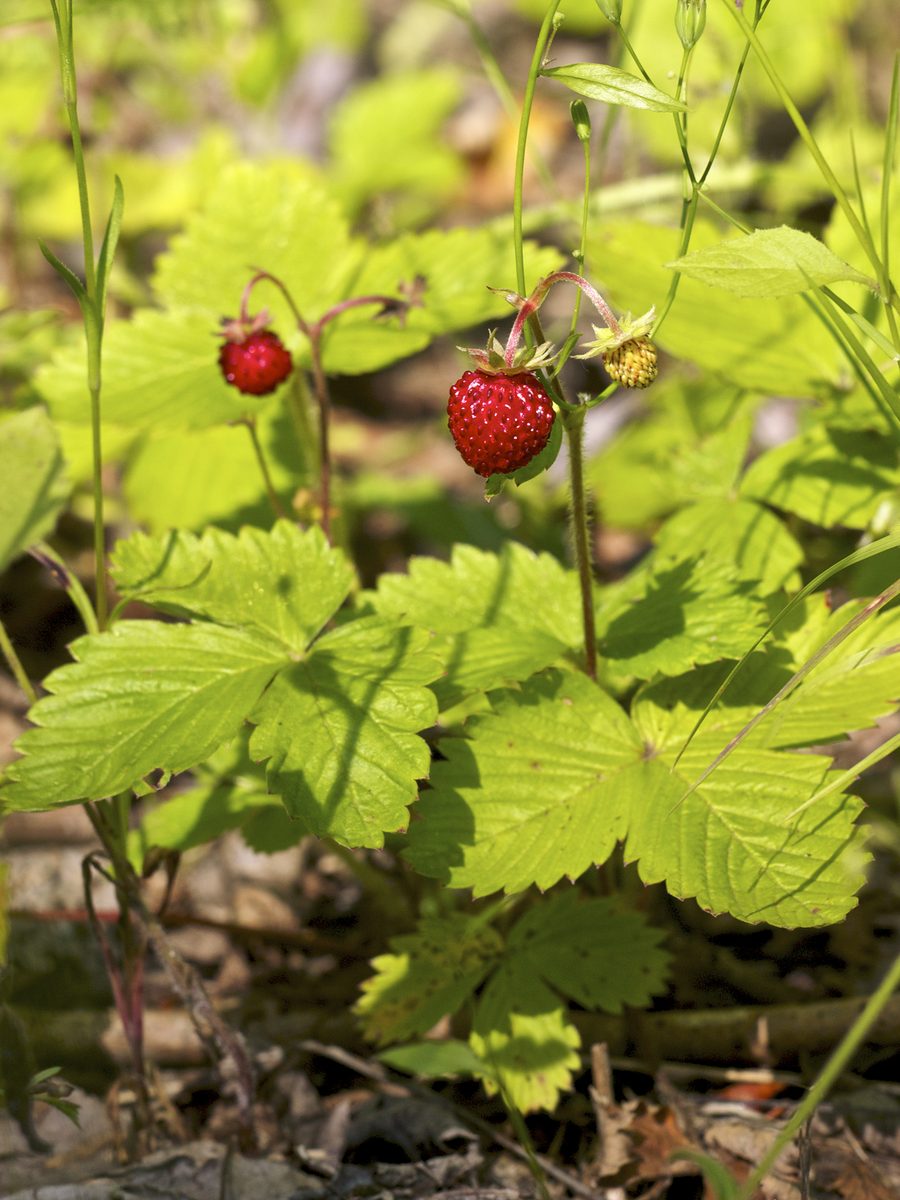
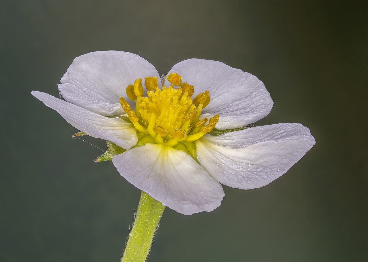
Never eat berries you are not sure about and never give unknown berries to children. In case of poisoning call 112 (103 in Ukraine).
About
Wild strawberries are the first berry of the Carpathian summer. They grow in sunny clearings, forest edges, clearings, dry slopes, near paths and forest roads, from the foothills to mountain meadows. Wild strawberries bear fruit especially generously in young clearings and where the grass is low.
This is a small perennial herb 5–20 cm tall. The leaves are trifoliate, with serrated leaflets, bright green on top and silky-hairy underneath. The plant reproduces by long creeping runners, so wild strawberries grow in patches. The flowers are white, with five petals and a yellow center, appearing in May - June.
The berries are small, conical, bright red, with tiny seeds on the surface, and very fragrant. They ripen in June - July, in the mountains one to two weeks later. The berry is delicate and, as studies show, remains on the plant for only a few days, so it must be harvested in time and eaten or processed immediately.
Nearby, you may find the green strawberry with denser berries that detach more difficultly from the calyx; it is also edible. There are no poisonous lookalikes for wild strawberries, but red berries can also be found in poisonous plants such as wolf berries and lily of the valley, so make sure the berry grows on a low plant with trifoliate leaves.
Where in the Carpathians

The map shows where naturalists recorded the species (GBIF, CC0 and CC BY records), not every place it lives. The Ukrainian Carpathians are less studied, so a blank area does not mean the species is absent.
- Countries
- Slovakia · Czechia · Ukraine · Poland · Romania · Hungary · Serbia
- Mountain ranges
- Slovak Ore Mountains, Strážov Mountains, Greater Fatra, Low Tatras, Kysuce Beskids, Lesser Fatra, White Carpathians, Slovak Central Mountains, Volovec Mountains, Štiavnica Mountains
- Altitude belts
- Foothills (below 600 m) · Beech forests (600–1200 m)
When to see it
| Jan | Feb | Mar | Apr | May | Jun | Jul | Aug | Sep | Oct | Nov | Dec | |
|---|---|---|---|---|---|---|---|---|---|---|---|---|
| Flowering | ||||||||||||
| Fruit |
From naturalists’ observations in the Carpathians (iNaturalist, research grade): the darker the cell, the more often the species is seen that month.
Safety
Only collect berries from low plants with trifoliate leaves. Do not collect near roads. Forest berries are better washed. Do not give unfamiliar berries to children and teach them not to taste anything in the forest without adults.
Look-alikes — how to tell them apart
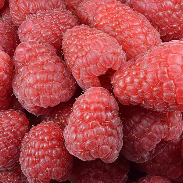
A bush up to 1 m; red berries sit tightly directly on the stem, leaves are elongated and entire, not trifoliate.
In folk tradition
Berries are eaten fresh and made into jam; leaves are traditionally dried and brewed as tea.
Protection and rules
Not protected. It is allowed to collect for personal use in state and communal forests; prohibited in nature reserves and protected areas of national parks.
FAQ
When to collect wild strawberries in the Carpathians?
In June - July; in the mountains, wild strawberries ripen one to two weeks later than in the foothills.
How do wild strawberries differ from garden strawberries?
Wild strawberries are a wild species with small fragrant berries. Garden strawberries are a hybrid crop with large berries.
Similar species
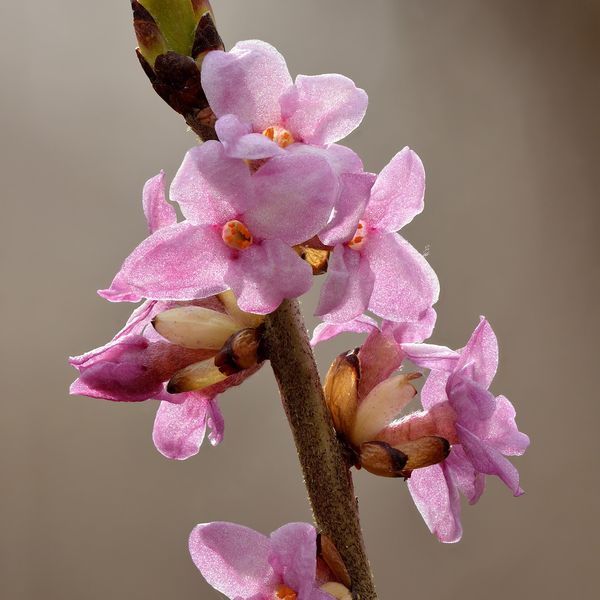
Where to meet it
Peaks and meadows
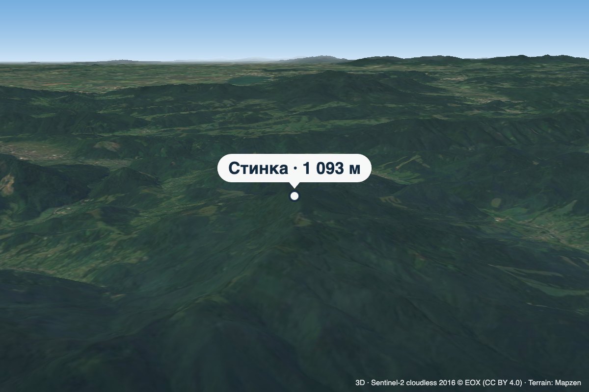 PeakMount StynkaKniahyniaaltitude 1 093 mStynka (Slovak: Stinská) is a 1,093 m mountain on the state border between Ukraine and Slovakia, in the Bukovské...
 Mountain meadow940 mPolonyna Pertsi Ethno Park, YablunytsiaYablunytsiaPolonyna Pertsi (“Pepper Meadow”) is an ethno park of Hutsul traditions in Yablunytsia, close to the Yablunytsia Pass.
 PeakMount TupyiImstychovoaltitude 878 m · Volcanic Carpathians rangeTupyi is the highest summit of the massif of the same name, part of the volcanic ridge of the Ukrainian Carpathians.
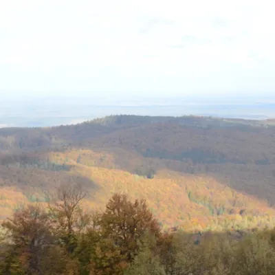 PeakMount BobovyshcheOrivaltitude 817 m4 trails to the topBobovyshche (also called Popivska) is an 817 m mountain in the Upper Dniester Beskids, Lviv Oblast.
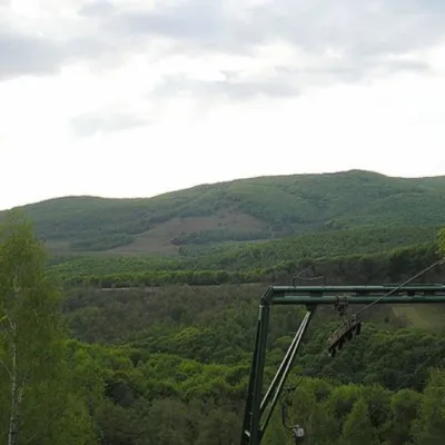 PeakMount BuzhoraOsiialtitude 1 085 m · Volcanic Carpathians range1 trail to the topMount Buzhora is the highest peak of the Volcanic Ridge of Ukrainian Carpathians.
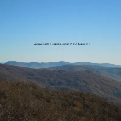 PeakMount Vitrova-SkalaMyrchaaltitude 1 025 m · Volcanic Carpathians rangeVitrova-Skala (Slovak: Vetrová skala) is a 1,025 m (more precisely 1,024.5 m) mountain in the volcanic Vihorlat massif.
 PeakMount KalnytsiaStuzhytsiaaltitude 1 004 mKalnytsia (Slovak: Kalnica) is a 1,004 m mountain on the state border between Ukraine and Slovakia, in the Bukovské...
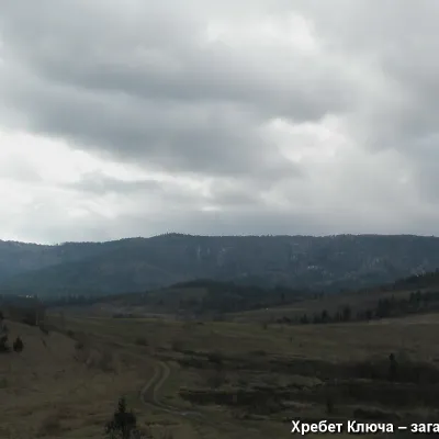 PeakMount YavorinkaTrukhanivaltitude 940 m3 trails to the topThe top of Mount Yavorinka is 940 meters above sea level. Mount Yavorinka is the highest peak of the Klyucha ridge,...
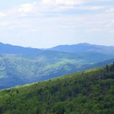 PeakMount KlyuchKamiankaaltitude 927 m · Skole Beskids range2 trails to the topMount Klyuch is one of the peaks of the ridge in the Skole Beskydy, which starts from the Sukel River (Bukivets...
Waters and waterfalls
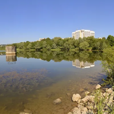 LakeTruskavets ReservoirTruskavetsTruskavets Reservoir, known locally as Lake Solonytsia, lies on the south-eastern edge of Truskavets, next to the...
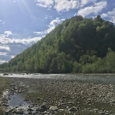 RiverBystrytsia Nadvirnianska RiverNadvirnaThe Bystrytsia Nadvirnianska rises on the northern slope of Mount Chorna Kleva in the Gorgany, at about 1,280 m.
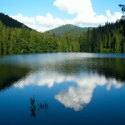 LakeSynevyr Lake Synevyrska PolyanaSynevyrska PolyanaLake Synevyr, located on the territory of the National Nature Park of the same name in Mizhhirya district of...
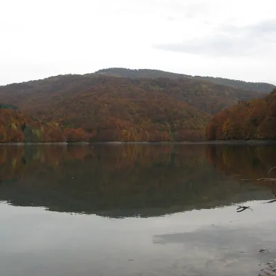 LakeVilshany ReservoirVilshanyThe Vilshany Reservoir, also called the Tereblia-Rika Reservoir, is a narrow mountain lake in the Tereblia valley...
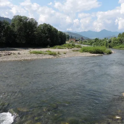 RiverChornyi Cheremosh RiverVerkhovynaThe Chornyi Cheremosh rises south-east of Burkut on the slopes of the Chyvchyn Mountains, the most remote corner of...
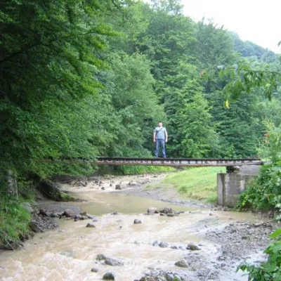 WaterfallMikva waterfallVyzhenkaThe Mykva Waterfall is a small but very picturesque waterfall located in the village of Vyzhenka, Chernivtsi region.
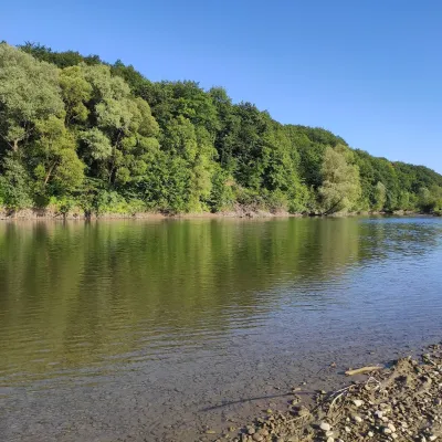 RiverBystrytsia Solotvynska RiverSolotvynThe Bystrytsia Solotvynska rises at about 1,390 m at the foot of Mala Syvulia and Bystryk, near the Peklo cliffs in...
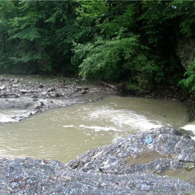 RiverVyzhenka RiverVyzhenkaTheriver Vyzhenka is located in the village of the same name in the Chernivtsi region.
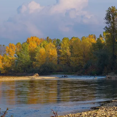 RiverTysa River (Tisza)RakhivThe Tysa (Tisza) is the main river of Zakarpattia. It begins on the north-eastern edge of Rakhiv, where the Chorna...
Mountain ranges: In other countries: 🇸🇰 Slovak Ore Mountains, 🇸🇰 Strážov Mountains, 🇸🇰 Greater Fatra, 🇸🇰 Low Tatras, 🇸🇰 Kysuce Beskids, 🇸🇰 Lesser Fatra, 🇨🇿 White Carpathians, 🇸🇰 Slovak Central Mountains, 🇸🇰 Volovec Mountains, 🇸🇰 Štiavnica Mountains, 🇸🇰 Slovak Paradise, 🇸🇰 Javorníky, 🇨🇿 Moravian-Silesian Beskids, 🇸🇰 Kremnica Mountains
Trails and peaks near which naturalists recorded the species (GBIF, iNaturalist), matched by altitude and habitat. Sightings are not guaranteed.
Sources
- Вікіпедія: Суниці лісові
- Wikipedia (en): Fragaria vesca
- EMA/HMPC: монографія Fragariae folium
- Лісовий кодекс України, ст. 69: загальне використання лісових ресурсів (збирання грибів і ягід для власних потреб)
GBIF · iNaturalist · Wikidata · Distribution data: GBIF.org (CC0 and CC BY records), iNaturalist; names and identifiers: Wikidata (CC0). Text: Karpaty.rocks, checked 09.11.2026.
