Mezereon
Never eat berries you are not sure about and never give unknown berries to children. In case of poisoning call 112 (103 in Ukraine).
About
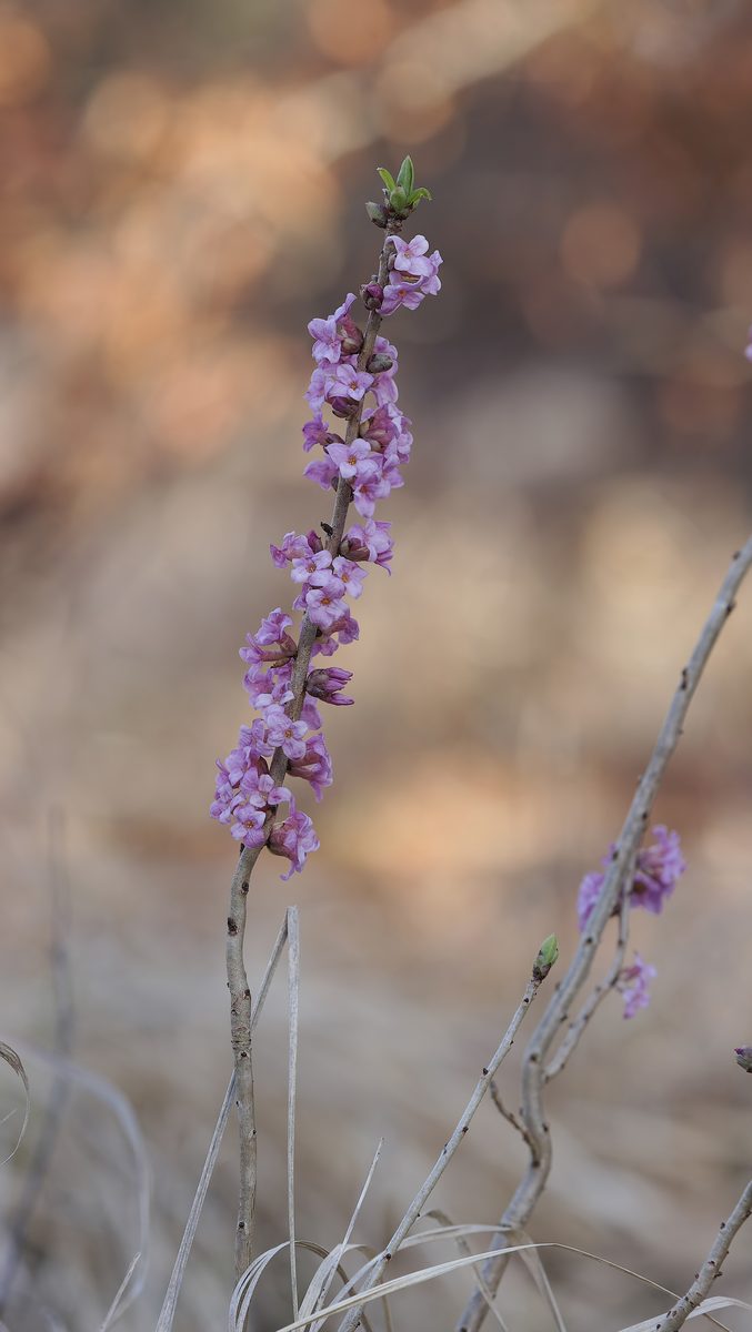
Wolf berries, or wolf's bark, are a low shrub 0.5–1.5 m tall, common in shady deciduous, mixed, and spruce forests of the Carpathians, from the foothills to the mountain forest belt. It prefers moist, rich soils, often on limestone.
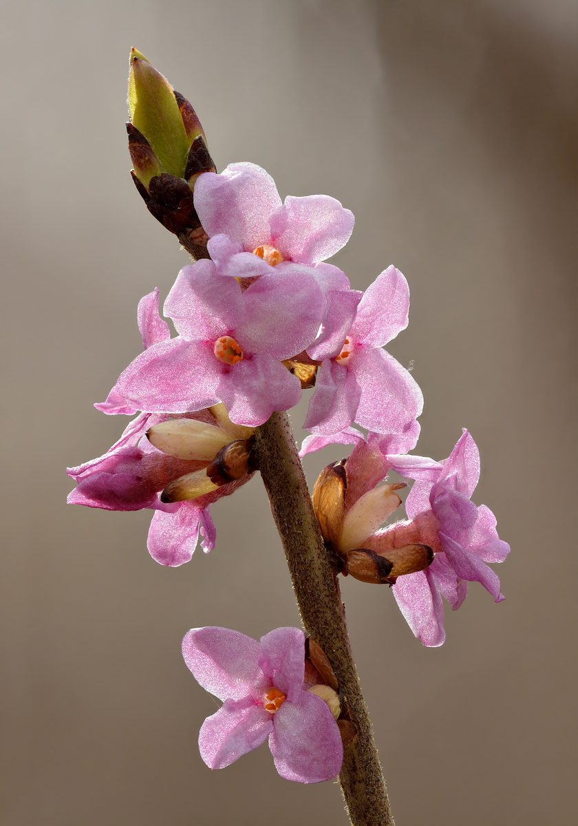
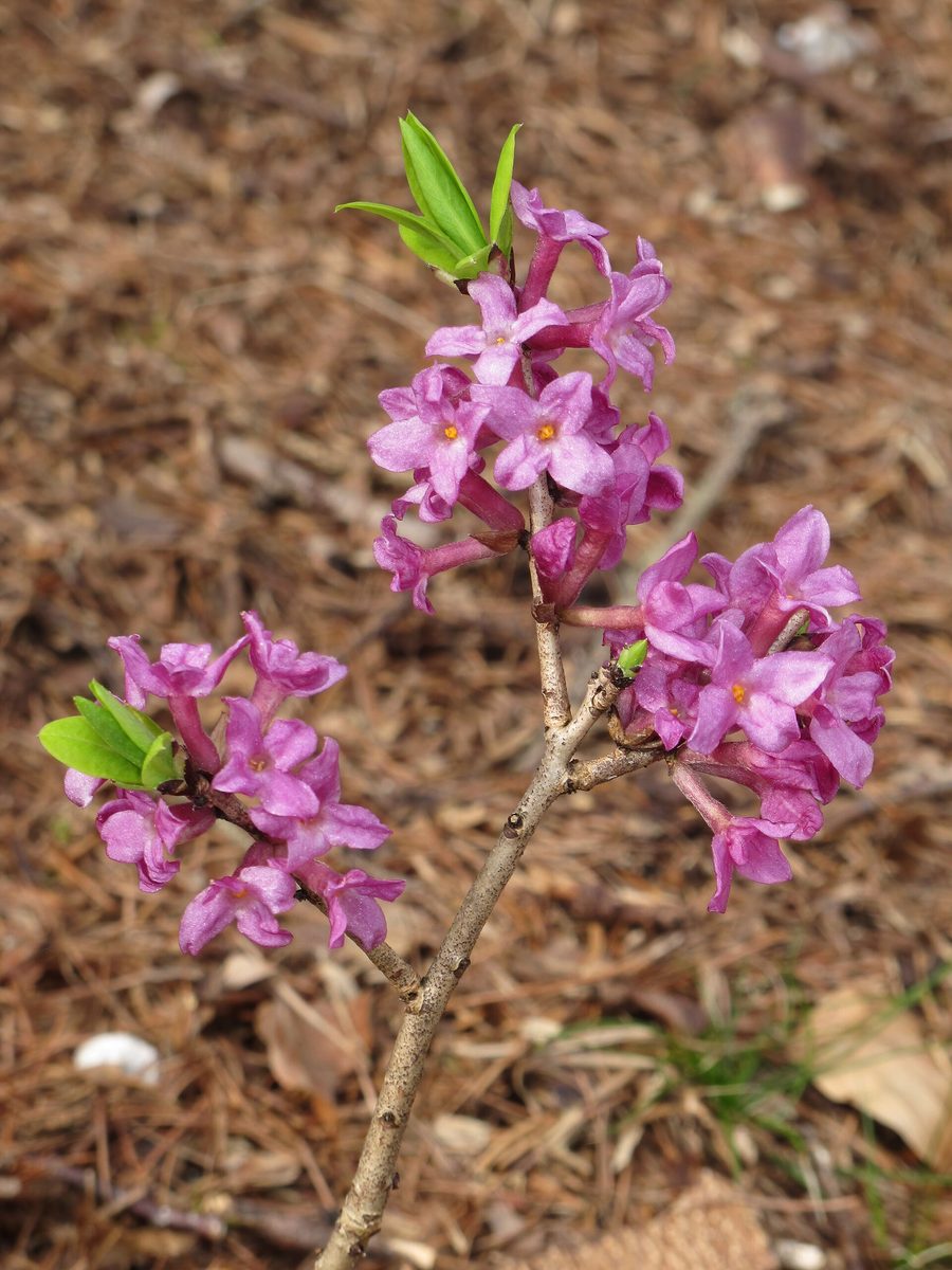
The most noticeable shrub in early spring. Before the leaves appear, in March – April, and in the mountains in May, its branches are covered with pink, occasionally white, tubular flowers with a strong pleasant scent. The flowers sit tightly directly on the branches, in pairs of two to four. The leaves appear later: elongated, thin, entire, gathered in tufts at the tips of the shoots.
The berries are juicy, bright red, shiny drupes 7–12 mm. They ripen in summer and sit in dense clusters directly on the branch, without stems, below the leaves. The berries, bark, and branches are highly toxic: the substances mezerein and daphnin cause severe burning in the mouth, swelling of the lips, salivation, and vomiting within a few hours. The sap of the plant irritates the skin, so the shrub should not be broken with bare hands. Birds, particularly thrushes, eat the berries without harm and disperse the seeds.
Wolf berries can be confused with red currants, rowan, or strawberries. The difference is simple: in currants, the berries hang in clusters on stems, in rowan they are in large clusters on the tree, and in strawberries, they are on low herbaceous plants.
Where in the Carpathians

The map shows where naturalists recorded the species (GBIF, CC0 and CC BY records), not every place it lives. The Ukrainian Carpathians are less studied, so a blank area does not mean the species is absent.
- Countries
- Slovakia · Czechia · Ukraine · Poland · Romania · Hungary
- Mountain ranges
- Greater Fatra, Slovak Ore Mountains, Strážov Mountains, Lesser Fatra, Low Tatras, Belianske Tatras, Slovak Paradise, Volovec Mountains, White Carpathians, Western Tatras
- Altitude belts
- Foothills (below 600 m) · Beech forests (600–1200 m) · Conifer forests (1200–1600 m)
When to see it
| Jan | Feb | Mar | Apr | May | Jun | Jul | Aug | Sep | Oct | Nov | Dec | |
|---|---|---|---|---|---|---|---|---|---|---|---|---|
| Flowering | ||||||||||||
| Fruit |
From naturalists’ observations in the Carpathians (iNaturalist, research grade): the darker the cell, the more often the species is seen that month.
Safety
All parts of the plant are highly toxic, especially the berries and bark; the sap irritates the skin. Do not break branches with bare hands and do not collect spring bouquets. Do not give unfamiliar berries to children and teach them not to taste anything in the forest without adults. In case of suspected poisoning, call 103 (or 112) and take a twig or berry of the plant with you.
Look-alikes — how to tell them apart
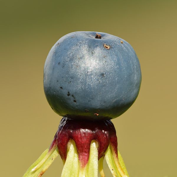
Berries hang in clusters on thin stems, not sitting tightly on the branch; leaves are lobed, like those of currants.
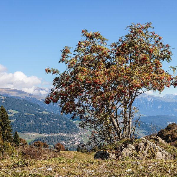
A tree with pinnate leaves; berries in large hanging clusters at the ends of branches.
Protection and rules
Not listed in the Red Book of Ukraine (there are other species of wolf berries). Do not destroy the plant: in spring, it is one of the first sources of nectar for insects.
FAQ
Are wolf berries toxic?
Yes, very. The berries, bark, and branches are toxic, and the sap irritates the skin. Burning in the mouth, swelling, and vomiting appear within a few hours after consumption.
When do wolf berries bloom?
In early spring, in March – April, and in the mountains in May, before the leaves appear.
Similar species

Where to meet it
Trails
 EasyOne-dayMarkedBilasovytsia village Mount PikuiElevation profile594–1 408 m4.5 kmascent 814 m≈ 3 h walking
 EasyOne-dayMarkedShybene village Vesnarka polonynaElevation profile854–1 465 m7.8 kmascent 611 m≈ 3 h walking
 HardMulti-dayMarkedMyslivka village to Osmoloda villagevia Mount Velykyi Pustushak, Nimetska polonyna +1Elevation profile654–1 587 m35 kmascent 1 359 m≈ 11.5 h walking
 ModerateTwo-dayMarkedBystrytsia village loopvia Mount HropaElevation profile867–1 759 m14.9 kmascent 892 m≈ 5.5 h walking
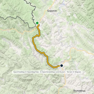 HardMulti-dayMarkedSianky village to Bilasovytsia villagevia Mount Drohobytskyi Kamin, the Ruska Put Pass +1Elevation profile557–1 408 m38 kmascent 1 364 m≈ 12 h walking
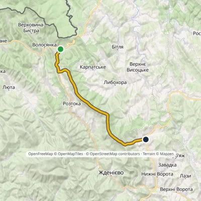 HardMulti-dayMarkedUzhok village to Bilasovytsia villagevia Husnyi village, Mount Drohobytskyi Kamin +2Elevation profile540–1 408 m30.3 kmascent 1 450 m≈ 10.5 h walking
 ModerateTwo-dayLybokhora village to Bilasovytsia villagevia Mount Velykyi Verkh, Mount PikuiElevation profile593–1 408 m21.1 kmascent 882 m≈ 7 h walking
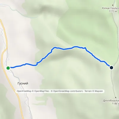 EasyOne-dayMarkedUzhok Drohobytskyi StoneElevation profile686–1 154 m2.3 kmascent 468 m≈ 1.5 h walking
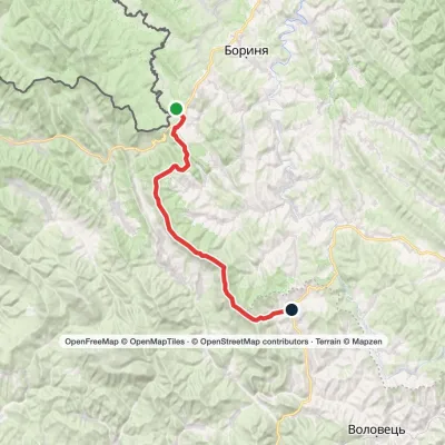 HardMulti-dayMarkedSianky village to Bilasovytsia villagevia Mount Starostyna, Mount Velykyi Verkh +1Elevation profile557–1 408 m36.5 kmascent 1 486 m≈ 12 h walking
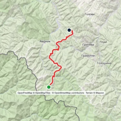 HardMulti-dayMount Chyvchyn to Stovpni Horishni villagevia the Pnivie ridge, the Vatunarka ridge +1Elevation profile975–1 540 m32.5 kmascent 1 323 m≈ 11 h walking
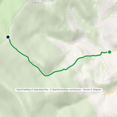 EasyOne-dayMarkedBilasovytsia village Mount KosharyshcheElevation profile586–1 085 m4 kmascent 499 m≈ 2 h walking
 HardTwo-dayMarkedBilasovytsia village to Mount Starostynavia Mount Pikui, Mount Velykyi VerkhElevation profile804–1 408 m22.1 kmascent 1 246 m≈ 8 h walking
Peaks and meadows
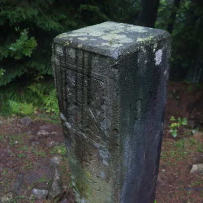 PeakMount PantyrBystrytsiaaltitude 1 213 m · Gorgany rangePantyr is a mountain in the south-eastern Gorgany, on the border of the Nadvirna district (Ivano-Frankivsk Oblast)...
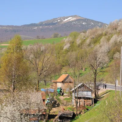 PeakMount PikuiShcherbovetsaltitude 1 408 m · Watershed Ridge range2 trails to the topPikui is the highest peak of the Vododilnyi (Verkhovyna Watershed) Ridge of the Ukrainian Carpathians.
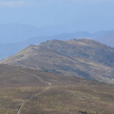 PeakMount ZelemenyiShcherbovetsaltitude 1 304 m · Watershed Ridge range1 trail to the topZelemenyi is a 1,304 m summit on the Vododilnyi (Verkhovyna Watershed) Ridge of the Ukrainian Carpathians.
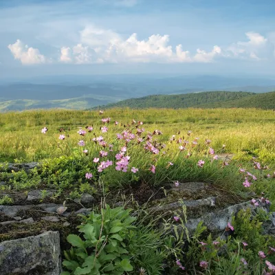 PeakMount LystkovaniaPerekhresnyialtitude 1 248 m · Watershed Ridge range1 trail to the topLystkovania (also spelled Lystkovannia) is a 1,248 m summit on the Vododilnyi (Verkhovyna Watershed) Ridge, on the...
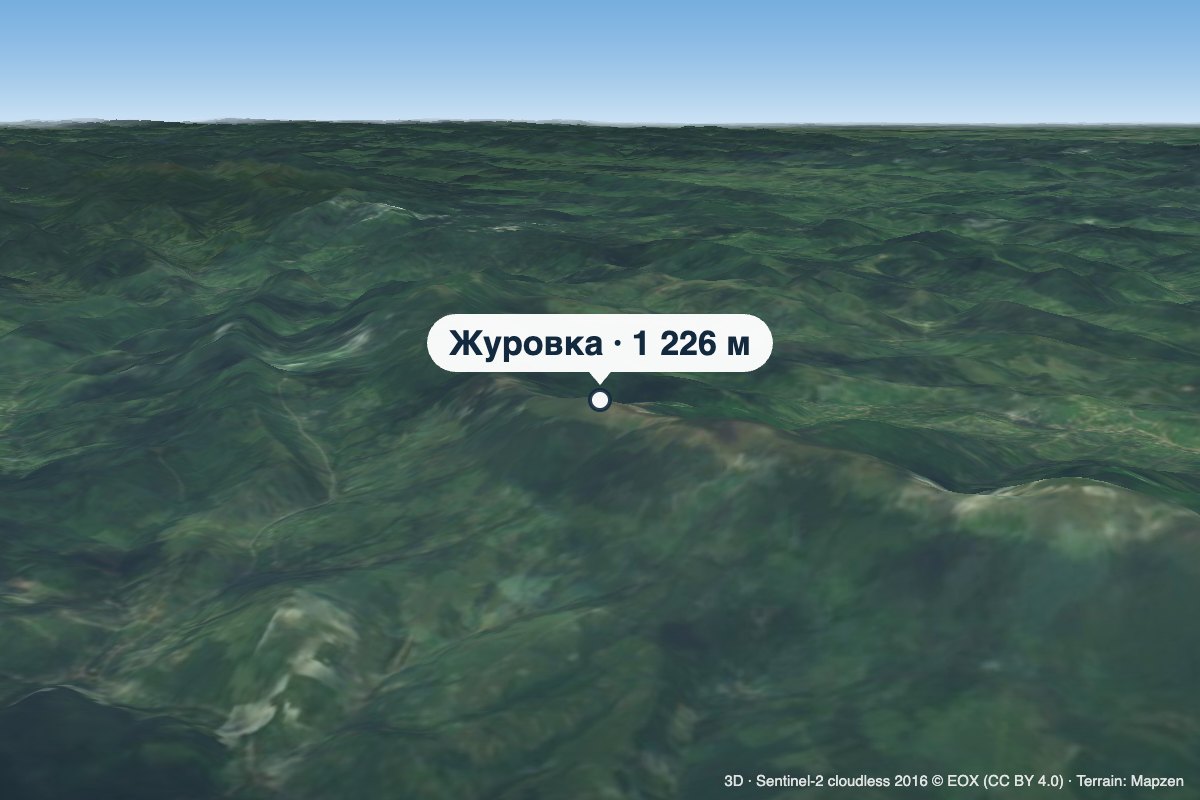 PeakMount ZhurovkaLybokhoraaltitude 1 226 m · Watershed Ridge range1 trail to the topZhurovka (Zhurivka in encyclopedic sources) is a 1,226 m summit on the Vododilnyi (Verkhovyna Watershed) Ridge, on...
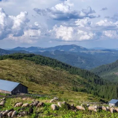 Mountain meadow1 477 mPolonyna LukovytsiaVerkhovyna districtThe height of the meadow is more than 1300 meters above sea level. Incredible landscapes that take your breath away.
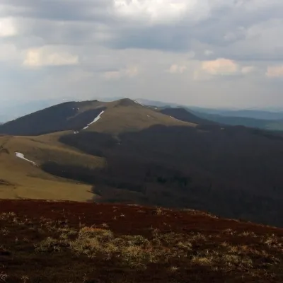 PeakMount StarostynaLybokhoraaltitude 1 229 m · Watershed Ridge range1 trail to the topStarostyna is a 1,229 m mountain on the Vododilnyi (Verkhovyna Watershed) Ridge of the Eastern Beskids.
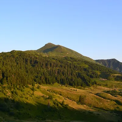 Mountain meadow1 477 mPolonyna LysychaDiloveThe Lysycha valley is located on the Marmoroska ridge of the Carpathians.
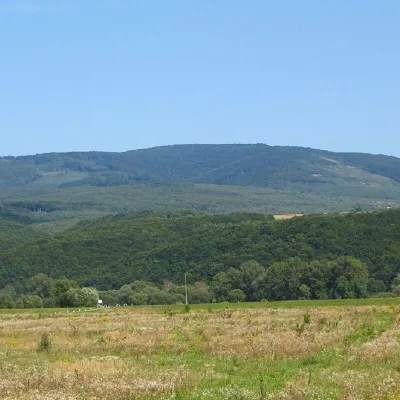 PeakMount Antalovetska PolyanaKamianytsiaaltitude 968 m8 trails to the topMount Antalovetska Polyana is a 968-meter high peak of the Ukrainian Carpathians, located in the western part of the...
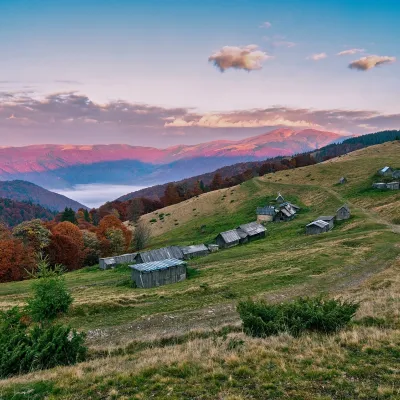 Mountain meadow1 240 mPolonyna Menchul (Kvasy)KvasyMenchul Polonyna above the village of Kvasy is a broad open shoulder on the south-western spur of the Chornohora...
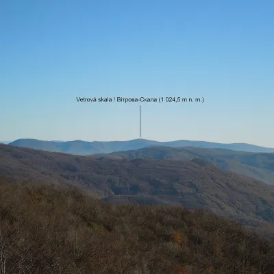 PeakMount Vitrova-SkalaMyrchaaltitude 1 025 m · Volcanic Carpathians rangeVitrova-Skala (Slovak: Vetrová skala) is a 1,025 m (more precisely 1,024.5 m) mountain in the volcanic Vihorlat massif.
 PeakMount MakovytsiaTurya Pasikaaltitude 978 m · Volcanic Carpathians rangeMount Makovytsia is a gem of the western lands, with amazing landscapes, fairy-tale views, nature, air, and...
Waters and waterfalls
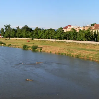 RiverLatorytsiaRoztokaLatorytsia River - Latorytsia and its surroundings are a popular destination for eco-tourism.
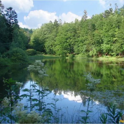 LakeMountain Polyanytske Lake (Dead Lake)BukovetsMountain Lake (another name - Dead Lake) is a picturesque mountain lake of natural origin in the Ukrainian...
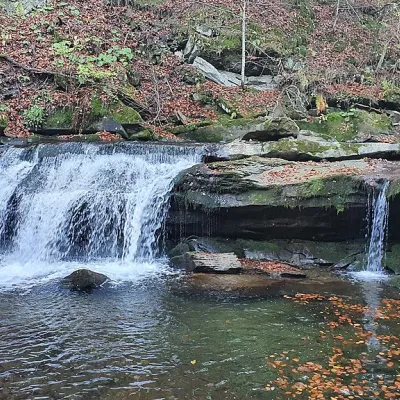 WaterfallKrushelnytskyi waterfallKrushelnytsiaThe real decoration of the mighty Carpathian Mountains is its numerous picturesque waterfalls.
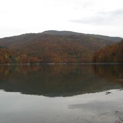 LakeVilshany ReservoirVilshanyThe Vilshany Reservoir, also called the Tereblia-Rika Reservoir, is a narrow mountain lake in the Tereblia valley...
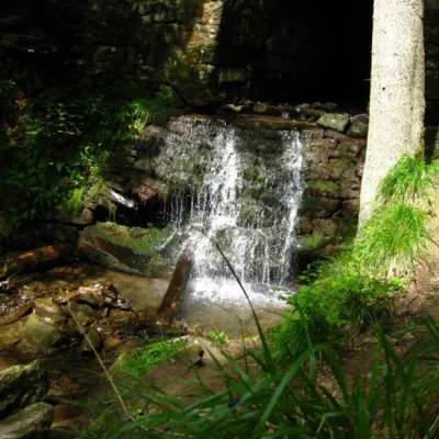 WaterfallLumshory waterfallsLumshoryLumshory waterfalls are a group of waterfalls in the Ukrainian Carpathians, a hydrological natural monument of local...
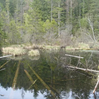 LakeLake Zhuravlyne (Dead Lake)KamiankaThere is one mysterious place in the Skole Beskydy National Nature Park - Zhuravlyne Lake, also called Dead Lake.
Mountain ranges: Bieszczady. In other countries: 🇸🇰 Greater Fatra, 🇸🇰 Slovak Ore Mountains, 🇸🇰 Strážov Mountains, 🇸🇰 Lesser Fatra, 🇸🇰 Low Tatras, 🇸🇰 Belianske Tatras, 🇸🇰 Slovak Paradise, 🇸🇰 Volovec Mountains, 🇨🇿 White Carpathians, 🇸🇰 Western Tatras, 🇨🇿 Moravian-Silesian Beskids, 🇸🇰 Kysuce Beskids, 🇸🇰 Levoča Mountains
Trails and peaks near which naturalists recorded the species (GBIF, iNaturalist), matched by altitude and habitat. Sightings are not guaranteed.
Sources
- Вікіпедія: Вовче лико звичайне
- Wikipedia (en): Daphne mezereum
- GBIF: список рослин і грибів Червоної книги України за наказом № 111 (з категоріями)
GBIF · iNaturalist · Wikidata · Distribution data: GBIF.org (CC0 and CC BY records), iNaturalist; names and identifiers: Wikidata (CC0). Text: Karpaty.rocks, checked 09.11.2026.
