Mount Pikui
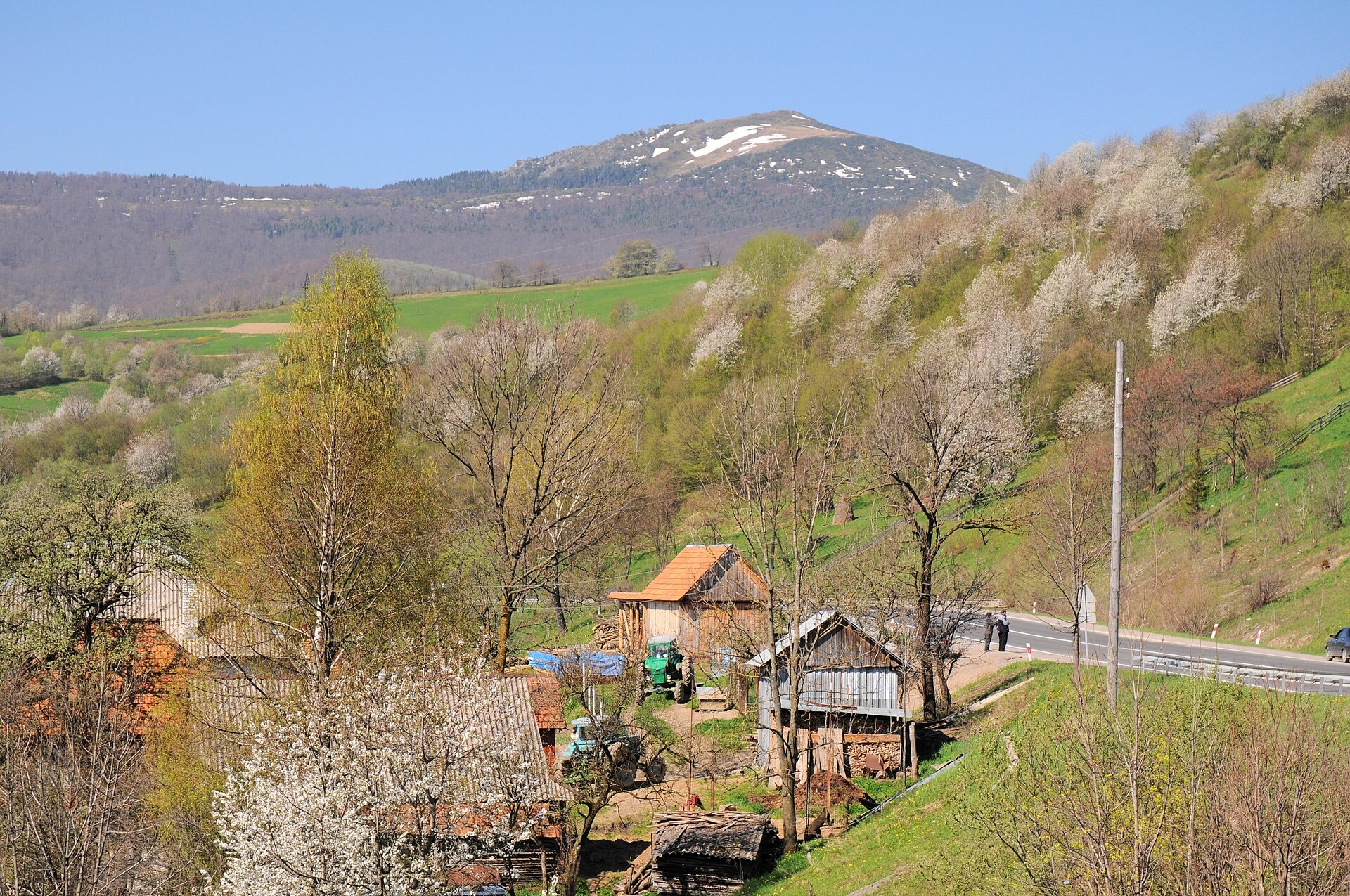
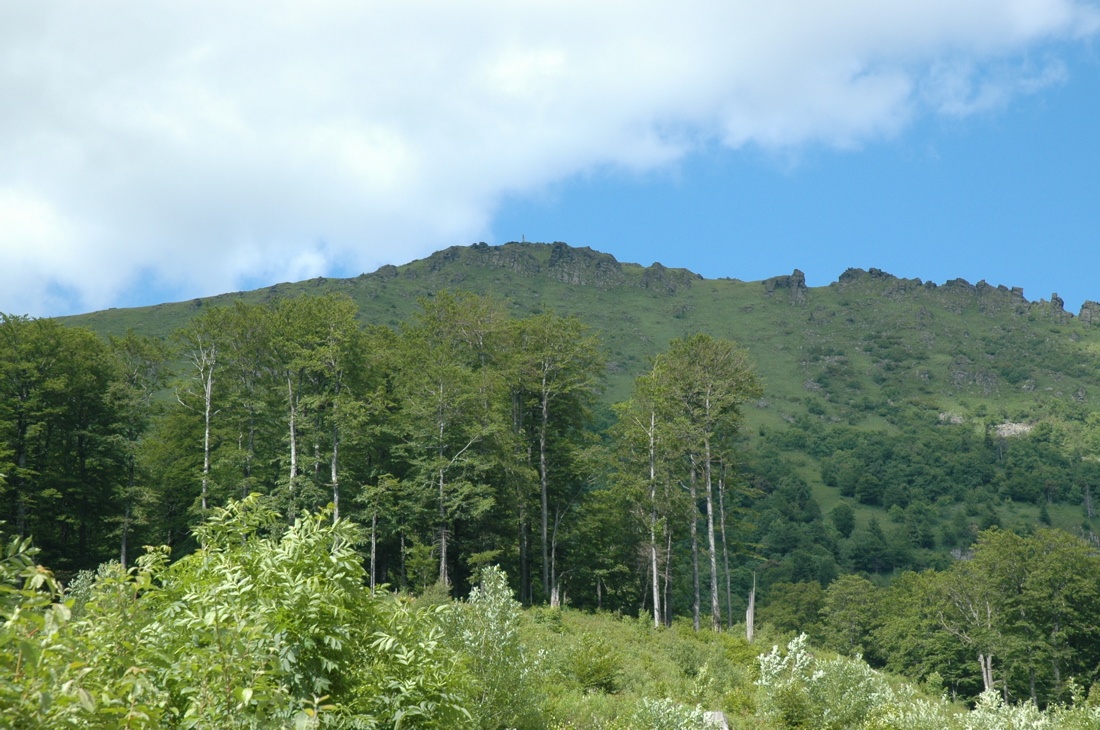
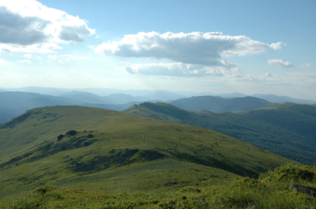
Pikui is the highest peak of the Vododilnyi (Verkhovyna Watershed) Ridge of the Ukrainian Carpathians. It rises on the border of Lviv and Zakarpattia oblasts and reaches 1408 m (some sources give 1405 m). Pikui is the highest mountain of Lviv Oblast. The nearest villages are Bilasovytsia, Shcherbovets and Pashkivtsi on the Zakarpattia side and Lybokhora on the Lviv side.
The summit is cone-shaped and asymmetric: the south-western slope is steep, the northern and north-eastern ones are gentler. The slopes are covered with beech and fir forest; the tree line runs at 1200–1250 m, above it lies a subalpine belt with rare plants. Rock outcrops and small cliffs crown the summit, and the views from Pikui are considered the widest on the whole ridge.
How to get there
The shortest way is from Zakarpattia. The loop Bilasovytsia – Mount Pikui – Bilasovytsia is 8.9 km long with about 780 m of ascent. From Shcherbovets, from the end of the village reachable by car, it is roughly 4.5 km one way to the top.
From the Lviv side, start in Lybokhora and climb to the Ruska Put pass (about 1200 m); from the pass it is about 8 km along the ridge to the summit. This option is covered by the route Lybokhora – Velykyi Verkh – Pikui – Bilasovytsia (21.1 km). For a multi-day hike, try the traverse Bilasovytsia – Pikui – Ruska Put pass – Drohobytskyi Kamin – Uzhok (37.1 km). The Transcarpathian Tourist Trail also crosses the summit.
Water, shelter and safety
The “Pid Pikuiem” hut stands about 1.2 km from the summit, and there is a camping spot about 2 km away. There are no reliable springs on the ridge itself, so bring water from the village. The best season is from May to October; in winter the bare summit is windy and snowy and needs winter gear. Mountain weather changes fast: check the forecast and carry a rain jacket, a torch and a charged phone. In an emergency call 112 or 101 — contacts of the nearest units are on the mountain rescue page.
Interesting facts
- According to tradition, an ancient trade route from the Danube lands into the mountains ran across the Ruska Put pass; a cross with the inscription “Ruska put” stands there.
- Border posts used to line the ridge: the frontier between interwar Poland and Czechoslovakia ran here.
- The Onilova stream, a right tributary of the Husnianka, rises on the north-eastern slopes.
Photos: Сергій Криниця (Haidamac), CC BY-SA 3.0; Varga Attila, CC BY-SA 3.0; Varga Attila, CC BY-SA 3.0 — Wikimedia Commons.
Location on the map
Comments
Places to stay nearby
 CottageHomestead "Lukacha" Zhdeniyevo4.5 km from Mount PikuiSaunaFireplaceKitchenNearby: Ostra Gora 5.6 kmVojvodyn waterfall 7.9 km7 trails
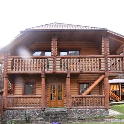 CottageCottage "Pustoshak" Bilasovitsya2.6 km from Mount PikuiHot tubPoolSaunaNearby: 11 trails
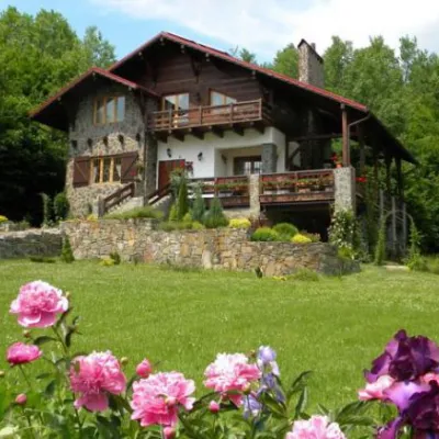 HomesteadChalet "Kukavica" Shcherbovets4 km from Mount PikuiKitchenParkingNearby: Ostra Gora 7.6 kmVojvodyn waterfall 8.8 km7 trails
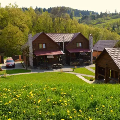 HomesteadPrivate Homestead "Shcherbovets"4.1 km from Mount PikuiHot tubSaunaBBQNearby: Ostra Gora 7.5 kmVojvodyn waterfall 8.7 km7 trails
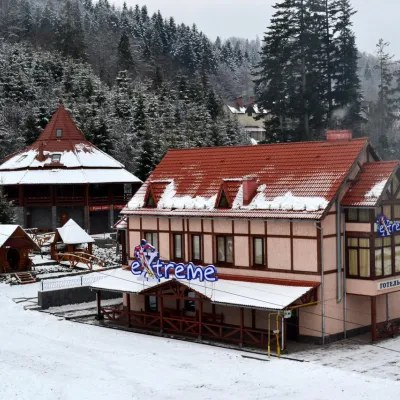 HotelHotel-Bar "Extreme" Mykulychyn6.3 km from Mount PikuiPoolSaunaBBQNearby: Vojvodyn waterfall 8.1 kmOstra Gora 8.8 km6 trails
 HotelHotel Complex "Smerkovyi Dvir" Zhdieniievo6.6 km from Mount PikuiPoolSaunaBBQNearby: Vojvodyn waterfall 9.6 km2 trails
Trails nearby
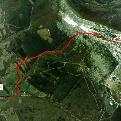 ModerateOne-dayUnmarkedBilasovytsia village loopvia Mount PikuiElevation profile620–1 402 m8.9 kmascent 779 m≈ 4 h walkingunder 1 km from Mount Pikui
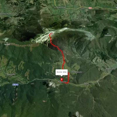 EasyOne-dayMarkedPashkivtsi Mount Pikuivia ShcherbovetsElevation profile464–1 376 m6.8 kmascent 58 m≈ 2 h walkingunder 1 km from Mount Pikui
 HardMulti-dayMarkedTranscarpathian Tourist TrailElevation profile198–2 031 m393.2 kmascent 30 283 munder 1 km from Mount Pikui
Nearby attractions
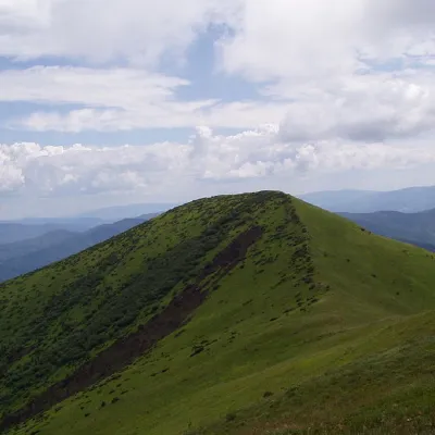 PeakOstra Goraaltitude 1 405 m9.3 km from Mount Pikui9 trails to the topOstra Hora is a 1405-meter peak in the Ukrainian Carpathians, located on the Polonyna ridge (northwestern part), northeast of Polonyna Runa and southwest of the...
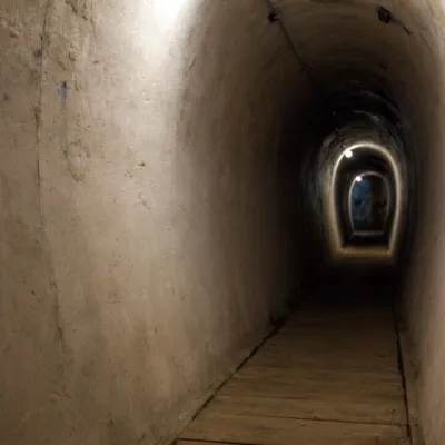 SightVerkhnya Hrabivnytsia, Arpad Line Bunker.12 km from Mount PikuiThe bunker in the village of Verkhnia Hrabivnytsia is one of the best preserved monuments of the Second World War on the so-called Arpad Line.
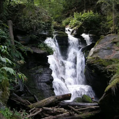 WaterfallVojvodyn waterfall12 km from Mount PikuiThe Voyevodyn Waterfall is located on the stream of the same name near the village of Zhdeniyevo in Zakarpattia within the Sokolovi Skeli, an ornithological reserve of...