Great masterwort
About
Astrantia major is a plant of the mountains of Central and Southern Europe: the Pyrenees, Carpathians, Balkans, as well as the Caucasus. It grows in wet forests, on forest edges, mountain meadows, and along riverbanks, especially in subalpine areas. It is also found in the Ukrainian Carpathians.
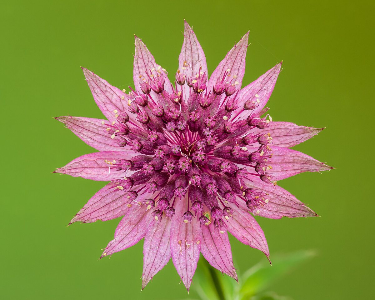
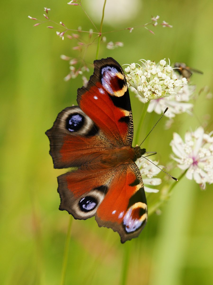
The plant typically reaches about 60 cm in height, sometimes up to 90 cm. The basal leaves have long petioles of 10–20 cm, palmately divided into three to seven toothed lobes. The most notable feature of Astrantia major is its inflorescence: each "flower" is actually a small umbrella made up of many tiny greenish-white flowers with a reddish tint, surrounded by a "collar" of sharp paper-like bracts, white or pink with green tips. Therefore, up close, it resembles a star. It blooms in summer: in the Carpathians, flowering Astrantia is mainly photographed from June to August.
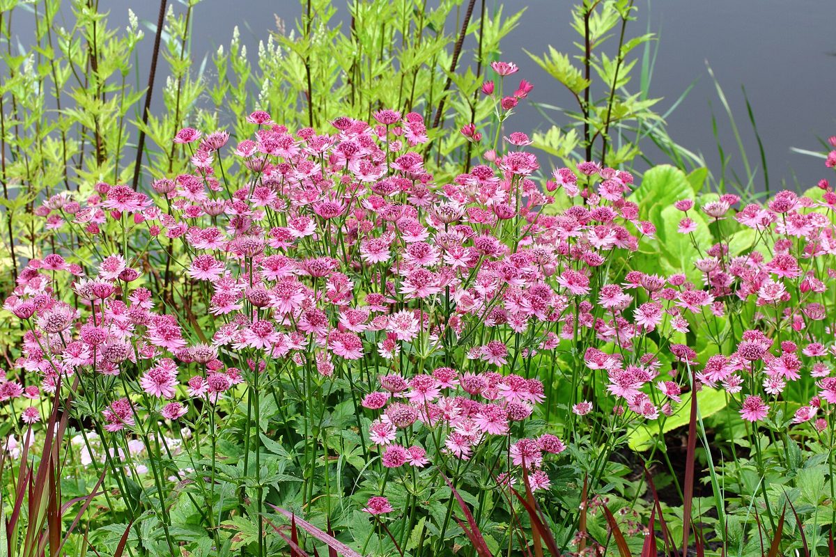
Astrantia major is widely cultivated in gardens as a decorative perennial plant. It belongs to the Apiaceae family, like carrots or dill, although it looks nothing like them.
Interestingly, Astrantia major was once included in the Red Book of Ukraine, but it was excluded in the 2009 edition, and it is not present in the current list of 2021. However, in nature reserves and protected areas of national parks, picking plants is prohibited. Enjoy and photograph it in the meadow: cut inflorescences wilt quickly.
Where in the Carpathians

The map shows where naturalists recorded the species (GBIF, CC0 and CC BY records), not every place it lives. The Ukrainian Carpathians are less studied, so a blank area does not mean the species is absent.
- Countries
- Slovakia · Czechia · Ukraine · Poland · Romania · Hungary
- Mountain ranges
- Greater Fatra, Lesser Fatra, Low Tatras, Strážov Mountains, White Carpathians, Slovak Paradise, Belianske Tatras, Kysuce Beskids, Slovak Ore Mountains, Western Tatras
- Altitude belts
- Foothills (below 600 m) · Beech forests (600–1200 m) · Conifer forests (1200–1600 m)
When to see it
| Jan | Feb | Mar | Apr | May | Jun | Jul | Aug | Sep | Oct | Nov | Dec | |
|---|---|---|---|---|---|---|---|---|---|---|---|---|
| Flowering | ||||||||||||
| Fruit |
From naturalists’ observations in the Carpathians (iNaturalist, research grade): the darker the cell, the more often the species is seen that month.
Protection and rules
Excluded from the Red Book of Ukraine in 2009; not present in the current list of 2021. Picking plants is prohibited in nature reserves and protected areas of national parks.
FAQ
What flower has paper white-pink "petals" in the Carpathian meadows?
Most likely, it is Astrantia major. Its "petals" are actually bracts surrounding a small umbrella of tiny flowers.
Is Astrantia included in the Red Book?
Not currently: it was excluded from the Red Book of Ukraine in 2009, and it is not present in the current list of 2021.
Similar species
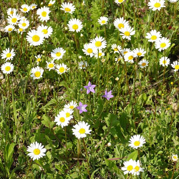
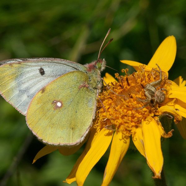
Where to meet it
Trails
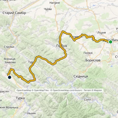 HardMulti-dayMarkedNo. 502-1 Drohobych RozluchElevation profile292–733 m78.1 kmascent 921 m
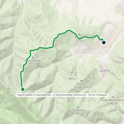 EasyOne-dayMarkedMalynovyshche polonyna Maniava villageElevation profile623–1 098 m8.5 kmascent 47 m≈ 2 h walking
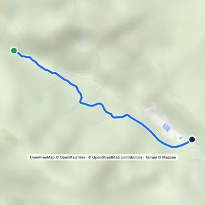 EasyOne-dayMarkedPerechyn Plishka WaterfallElevation profile241–416 m2 kmascent 9 m≈ 30 min walking
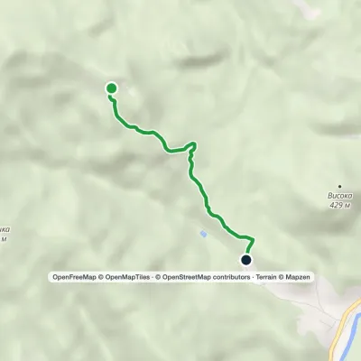 EasyOne-dayMarkedGreen marker (Babaiovo Poliana Yaseni)Elevation profile251–605 m3.1 km≈ 45 min walking
 ModerateTwo-dayMarkedBystrytsia village loopvia Mount HropaElevation profile867–1 759 m14.9 kmascent 892 m≈ 5.5 h walking
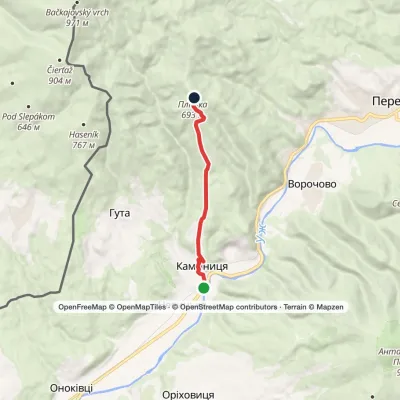 EasyOne-dayKamianytsia village Mount PlishkaElevation profile138–695 m7.2 kmascent 563 m≈ 3 h walking
Peaks and meadows
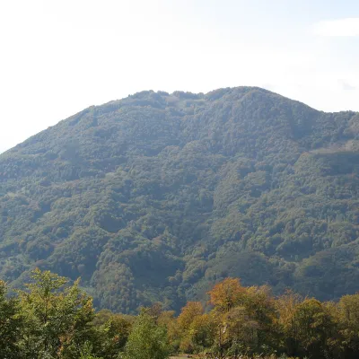 PeakMount KobylaKobyletska Polianaaltitude 1 177 m · Svydovets rangeKobyla is a 1,177 m mountain in the Rakhiv district of Zakarpattia Oblast.
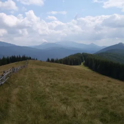 PeakMount Ploska, BystrytsiaBystrytsiaaltitude 1 353 m · Gorgany rangePloska is a mountain in the Gorgany massif (Ukrainian Carpathians). It is located within Nadvirna district of Ivano...
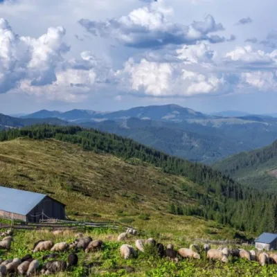 Mountain meadow1 477 mPolonyna LukovytsiaVerkhovyna districtThe height of the meadow is more than 1300 meters above sea level. Incredible landscapes that take your breath away.
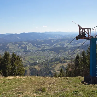 PeakMount TrostianSlavskealtitude 1 232 m · Skole Beskids rangeTrostian is a peak of the Skole Beskids in Lviv Oblast, west of the town of Slavske.
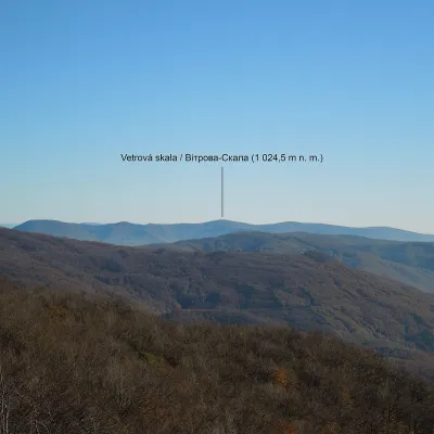 PeakMount Vitrova-SkalaMyrchaaltitude 1 025 m · Volcanic Carpathians rangeVitrova-Skala (Slovak: Vetrová skala) is a 1,025 m (more precisely 1,024.5 m) mountain in the volcanic Vihorlat massif.
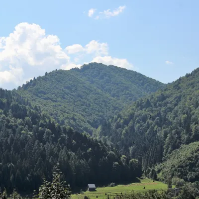 PeakMount of the Heroes of the Heavenly HundredRybnykaltitude 886 m · Skole Beskids rangeThe Mount of the Heroes of the Heavenly Hundred (locally Konova or Horb) is an 886 m summit (890 m according to other...
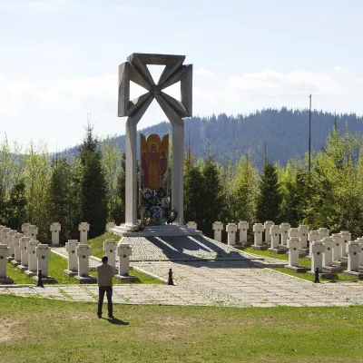 PeakMount MakivkaSlavskealtitude 958 m2 trails to the topMakivka is a mountain in the High Beskid about 8 km north of the town of Slavske in Lviv Oblast.
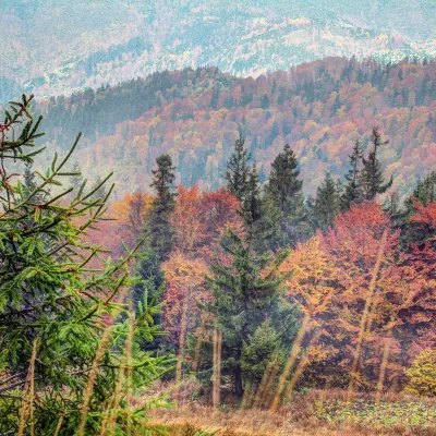 PeakMount Tymkiv VerkhKorostivaltitude 1 227 m · Skole Beskids range1 trail to the topTymkiv Verkh (also spelled Tymkyn Verkh) is a 1,227 m summit on the Parashka ridge in the Skole Beskids, Lviv Oblast.
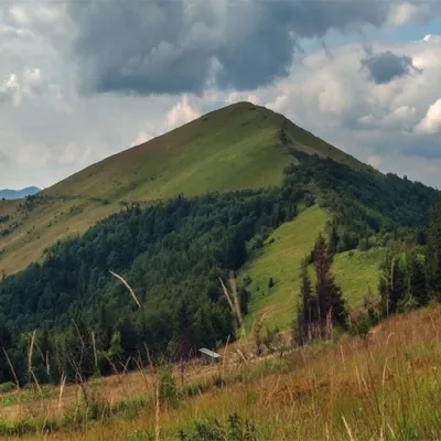 PeakMount ParashkaSkolealtitude 1 268 m · Skole Beskids range17 trails to the topParashka (1268 m) is the highest peak of the ridge of the same name in the Skole Beskids, 8 km north-west of Skole; a...
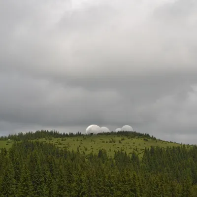 Mountain meadow1 565 mMount Tomnatyk (Yalovychory)SarataTomnatyk is a 1,565 m mountain in the Yalovychory Mountains, on the Tomnatykul ridge.
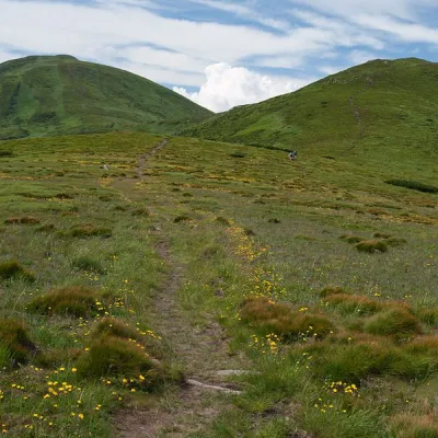 Mountain meadow1 500 mPolonyna Pozhizhevska (Pozhizhevskaya)Nadvirna districtPolonyna lies at an altitude of 1382-1822 meters. The Pozhyzhevska meadow lies at the foot of the mountain of the...
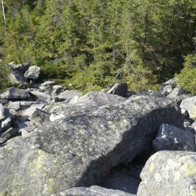 PeakMount SinyachkaYaremchealtitude 1 400 m · Gorgany range10 trails to the topMount Sinyachka is a 1400-meter peak in the Gorgan mountain range of the Ukrainian Carpathians, located in the...
Waters and waterfalls
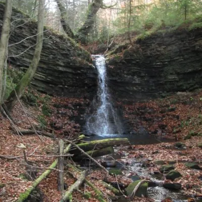 WaterfallPidgurkalo waterfallRipneThere are also interesting tourist sites that are little known to the general public: Pidhurkalo Waterfall (Ripne...
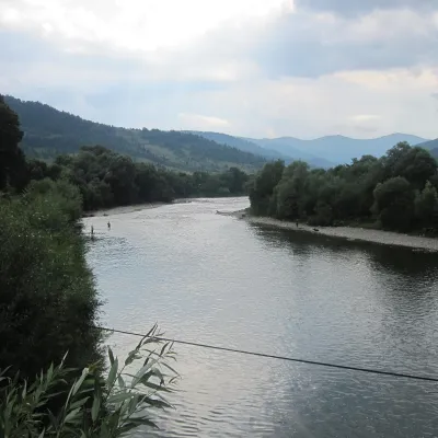 RiverStryi RiverTurkaThe Stryi is one of the largest Carpathian tributaries of the Dniester: 232 km from its source between Mount Yavirnyk...
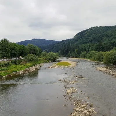 RiverOpir RiverSkoleThe Opir is a 58-km mountain river of the Skole Beskids. It rises on the eastern slope of Mount Velykyi Yavirnyk,...
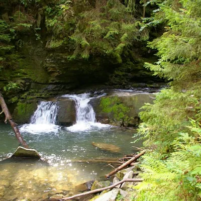 WaterfallWaterfall Maiden's Tears, YaremcheYaremcheMaiden's Tears is a waterfall in the Ukrainian Carpathians (Gorgany massif).
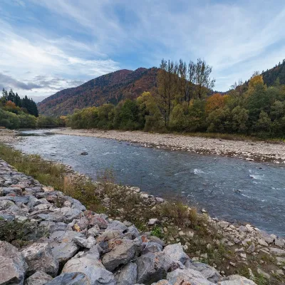 RiverTeresva RiverUst-ChornaThe Teresva forms in Ust-Chorna, where the Mokrianka and Brusturianka meet, and flows south through Dubove, Kalyny,...
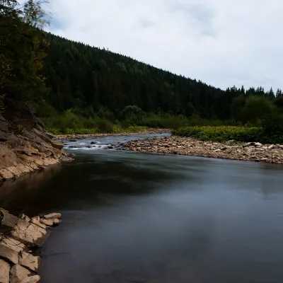 RiverSvicha RiverVyhodaThe Svicha is a 107-km right-bank tributary of the Dniester. It rises on the northern slopes of the main Gorgany...
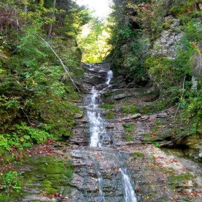 WaterfallBukovinian (Smugar) waterfallsRoztokyA picturesque chain of waterfalls, up to two kilometers long, stretches along the Smuhariv River in Bukovyna, in the...
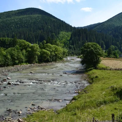 RiverChorna Tysa RiverYasinyaThe Chorna Tysa is a mountain river in eastern Zakarpattia. It rises on the northern spurs of the Svydovets massif...
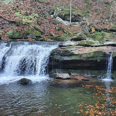 WaterfallKrushelnytskyi waterfallKrushelnytsiaThe real decoration of the mighty Carpathian Mountains is its numerous picturesque waterfalls.
Mountain ranges: In other countries: 🇸🇰 Greater Fatra, 🇸🇰 Lesser Fatra, 🇸🇰 Low Tatras, 🇸🇰 Strážov Mountains, 🇨🇿 White Carpathians, 🇸🇰 Slovak Paradise, 🇸🇰 Belianske Tatras, 🇸🇰 Kysuce Beskids, 🇸🇰 Slovak Ore Mountains, 🇸🇰 Western Tatras, 🇸🇰 Javorníky, 🇸🇰 Kremnica Mountains, 🇸🇰 Choč Mountains, 🇵🇱 Żywiec Beskids
Trails and peaks near which naturalists recorded the species (GBIF, iNaturalist), matched by altitude and habitat. Sightings are not guaranteed.
Sources
- Вікіпедія: Астранція велика
- Wikipedia (en): Astrantia major
- Наказ Міндовкілля від 15.02.2021 № 111: Перелік видів рослин та грибів, що заносяться до Червоної книги України
- GBIF: список рослин і грибів Червоної книги України за наказом № 111 (з категоріями)
- iNaturalist: Astrantia major (спостереження в Карпатах)
GBIF · iNaturalist · Wikidata · Distribution data: GBIF.org (CC0 and CC BY records), iNaturalist; names and identifiers: Wikidata (CC0). Text: Karpaty.rocks, checked 09.11.2026.
