Green marker (Babaiovo – Poliana Yaseni)
Trail map
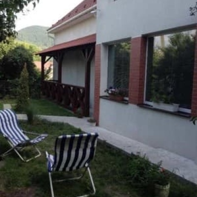
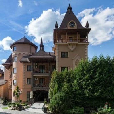
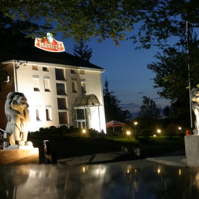
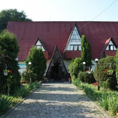
Where to stay nearby

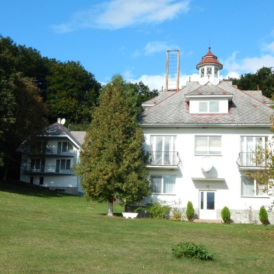

About the trail
Route Green marker (Babaiovo – Poliana Yaseni). Has green marking (local routes).
At a glance
A short route of 3.1 km with 58 m of ascent and 403 m of descent from Green marker (Babaiovo to Poliana Yaseni). Estimated walking time: about 1 h, not counting stops. Difficulty: easy. Waymarking: green.
Route stages
- 0–3 kmDescent of 310 m to Poliana Yaseni)
Steepest kilometre: km 0–1, a descent of 170 m (≈17%), near Hut.
Water and overnight stays
Springs near the trail: at km 0 and 3. Some springs run low or dry up in late summer.
Huts and shelters near the trail: Hut (Perechyn) (km 0.5). Places to stay near the start and finish: Perechyn.
When to go
The route can be walked most of the year; it is most comfortable from April to October.
Getting there
Start: Green marker (Babaiovo. Most places to stay near the start are in Perechyn. This is a one-way route: the finish is 2 km from the start in a straight line, so plan your way back in advance.
FAQ
- How long does the route take?
- Estimated walking time: about 1 h, not counting stops.
- Is there water on the route?
- Springs near the trail: at km 0 and 3. Some springs run low or dry up in late summer.
- Where can I stay overnight?
- Huts and shelters near the trail: Hut (Perechyn) (km 0.5). Places to stay near the start and finish: Perechyn.
Water and shelter on the route
- Spring (Perechyn, 3)km 0.1 from the start · Has water · 593 m
- Hut (Perechyn)km 0.6 from the start · Not verified · 519 m
- Spring (Vorochovo, 3)km 3.1 from the start · 140 m off the path · Not verified · 250 m
Comments
Trails nearby
All trails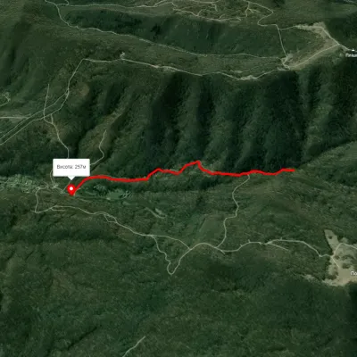 EasyOne-dayMarkedPerechyn Plishka WaterfallElevation profile257–464 m2 kmascent 146 m≈ 45 min walking
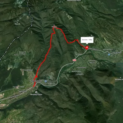 ModerateOne-dayUnmarkedKamianytsia village to Perechyn villagevia Mount PlishkaElevation profile140–694 m12.2 kmascent 601 m≈ 4.5 h walking
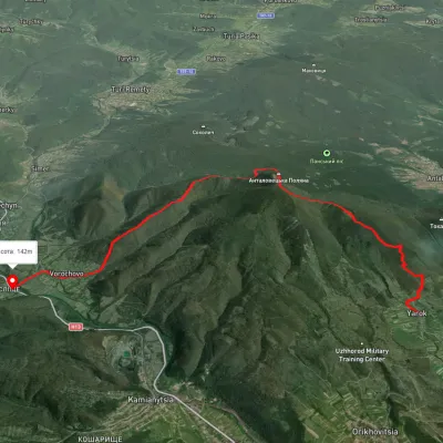 ModerateTwo-dayUnmarkedYarok village to Vorochovo villagevia Antalovetska PolianaElevation profile142–967 m16 kmascent 781 m≈ 5.5 h walking