Tvrdošín
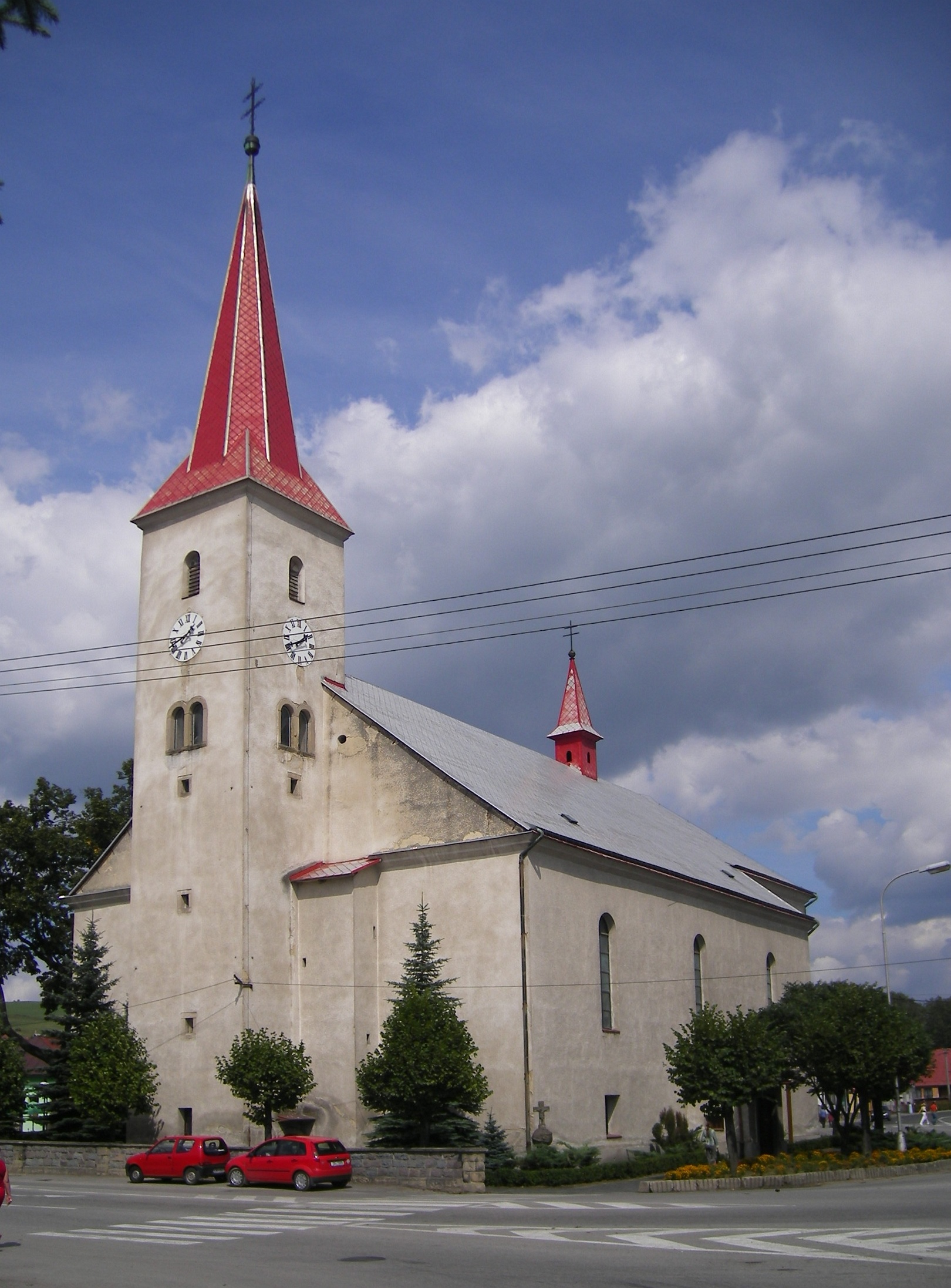
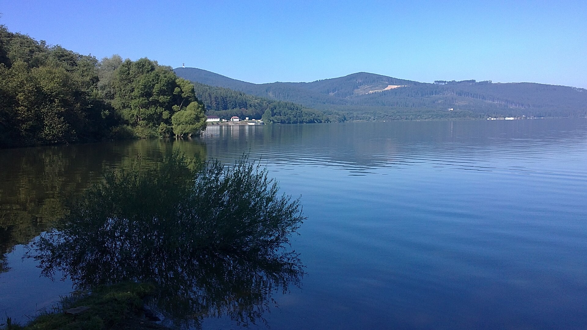
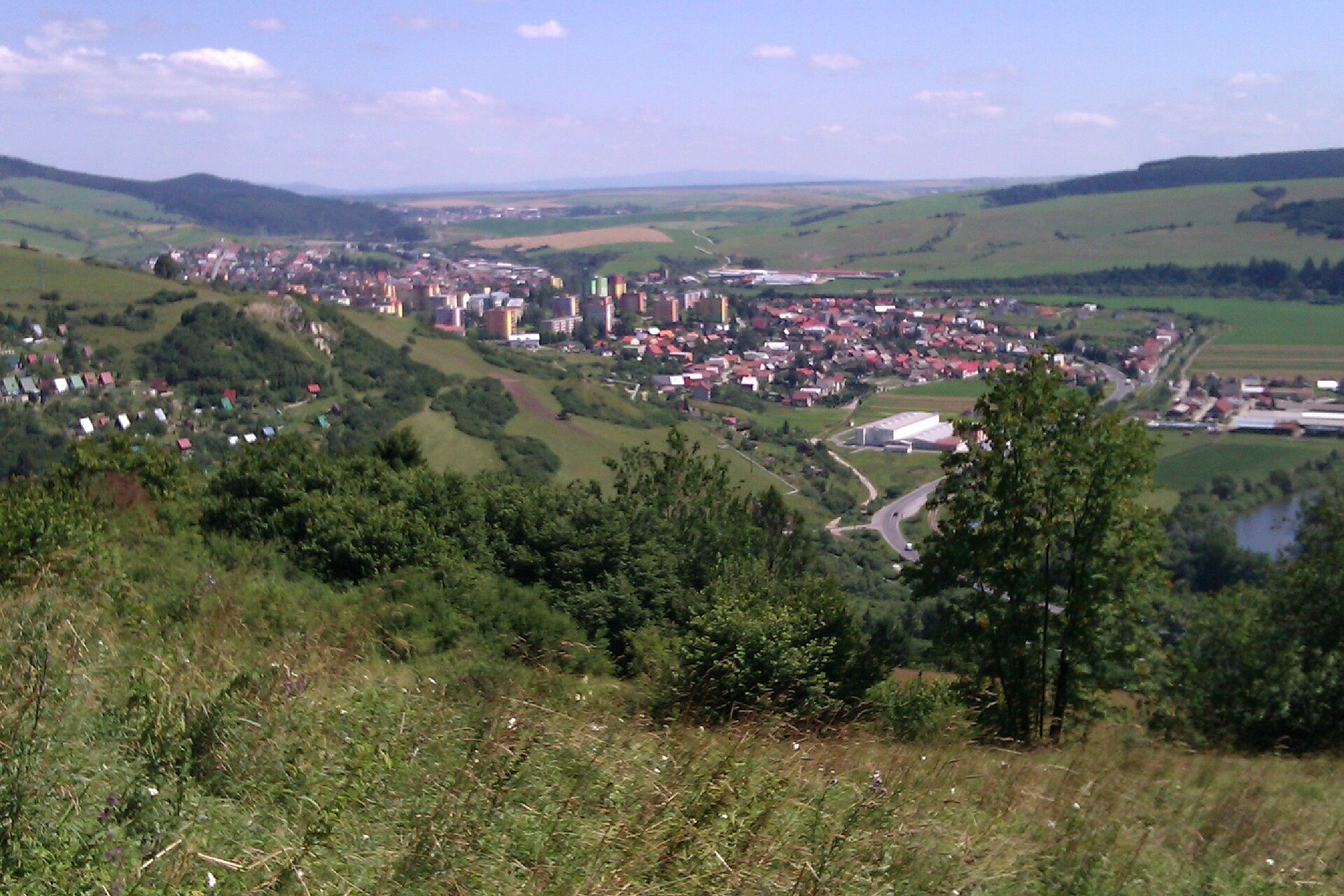
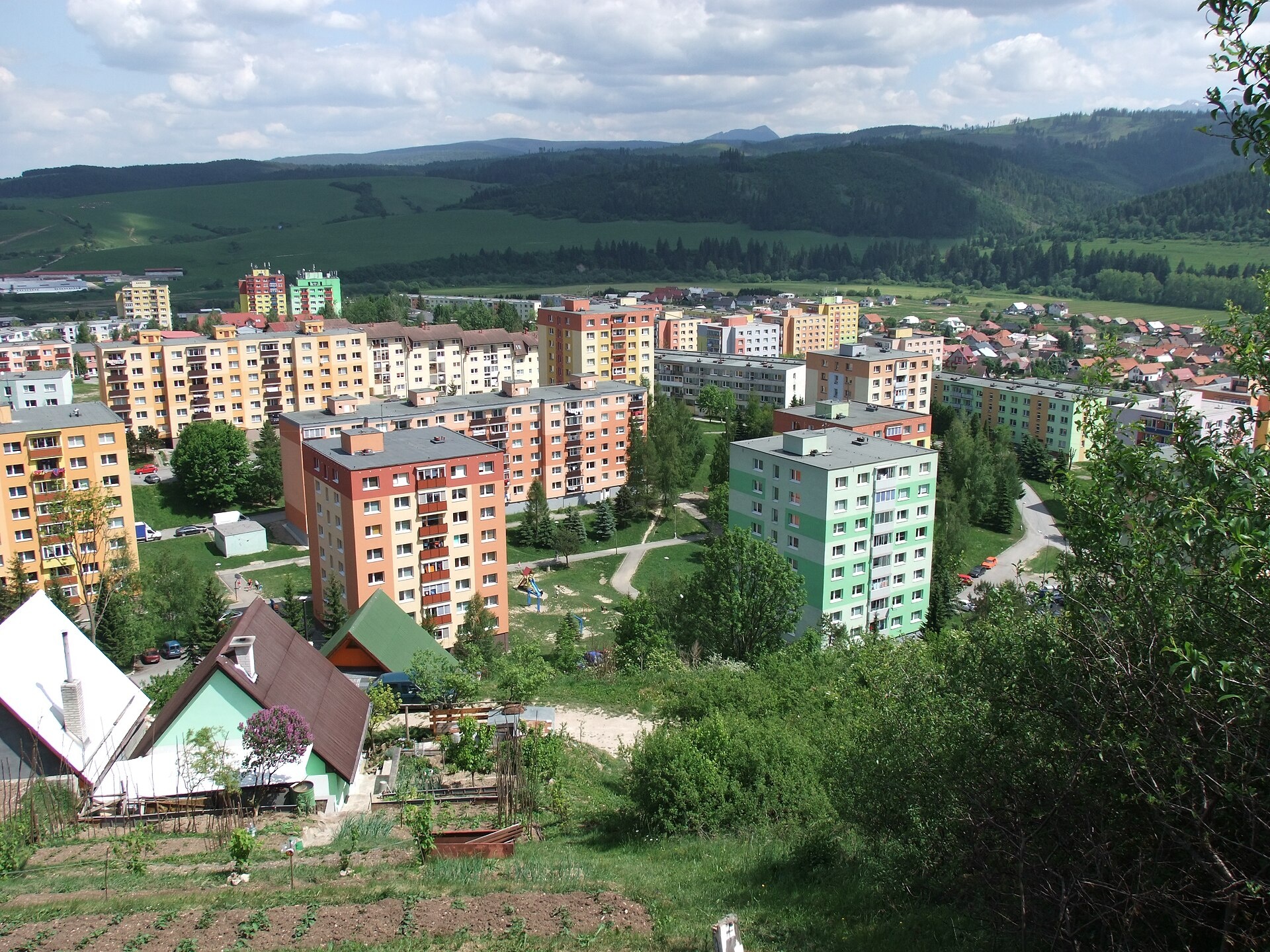
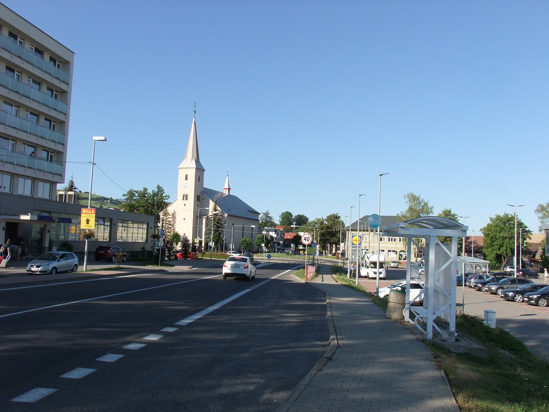
Photos: Tvrdošín2.JPG: Szeder László derivative work: Rabanus Flavus (talk), CC BY-SA 3.0 (Wikimedia Commons); juja1811, CC BY-SA 3.0 (Wikimedia Commons); Branik P, CC BY-SA 3.0 (Wikimedia Commons); Oto Zapletal, CC BY 4.0 (Wikimedia Commons); Oto Zapletal, CC BY-SA 4.0 (Wikimedia Commons); Cvmu123, CC BY-SA 4.0 (Wikimedia Commons)
Tvrdošín is a town and the administrative centre of Tvrdošín District in the Žilina region of central Slovakia. The town lies at an altitude of 592 metres in the valley of the Orava river, on the edge of the Western Carpathians. It is surrounded by the Orava Magura and Skorušinské vrchy mountain ranges, with the Orava, Bobrovecký potok and Juráňov potok rivers flowing nearby.
The first written mention of Tvrdošín dates back to 1111. In 1369, the town was granted royal free town privileges. Historically, Tvrdošín played an important role as a customs post on the trade route from Hungary to Poland and developed as a centre of crafts and trade.
Tvrdošín is known for its natural surroundings, proximity to the Orava Reservoir and scenic mountains, as well as its cultural heritage. Notable sights include the wooden Gothic All Saints Church, listed as a UNESCO World Heritage Site, and the Church of the Holy Trinity. Nearby attractions include the thermal baths in Oravice and the Orava Village Museum in Zuberec.
Visitors can explore the Rogatsky Waterfall, Orava Reservoir and Slanický Island, or hike peaks such as Baníkov, Machy, Kopec, Spálená and Mnich. There are many hiking trails in the area, including "Zuberec – Tatliakovo Lake", "Adamcuľa – Rogatské Lakes", and "Zverovka Hut – Rakoň". The Zverovka hut is a popular stop for hikers.
Getting there from Ukraine
From Uzhhorod ≈275 km, ≈3 h 35 min without queues: Uzhhorod – Vyšné Nemecké → I/19 to Košice → D1 motorway via Prešov, Poprad and Liptovský Mikuláš to Ružomberok (≈270 km, ≈3 h 25 min from the border). From Lviv it is faster through Poland: M-10 → Krakovets – Korczowa → A4 to Kraków → S7/DK7 to the Chyżne – Trstená border → R3 and I/59 via Dolný Kubín to Ružomberok: ≈482 km, ≈6 h 15 min (via Uzhok and Ubľa ≈500 km, ≈7 h 30 min). The D1 requires an e-vignette (eznamka.sk).
Sources: Wikipedia, Wikidata, OpenStreetMap, Karpaty.rocks data. More on Wikipedia
Trails nearby
All trails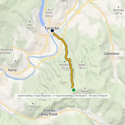 EasyOne-dayMarkedBiedna TvrdošínElevation profile569–917 m4.5 kmascent 4 m≈ 1 h walkingunder 1 km from the centre
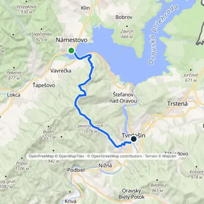 ModerateOne-dayMarkedTvrdošín, center NámestovoElevation profile566–1 109 m16.1 kmascent 641 m≈ 5.5 h walkingunder 1 km from the centre
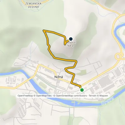 EasyOne-dayMarkedNižná OstražicaElevation profile562–768 m2.5 kmascent 206 m≈ 1 h walking3 km from the centre
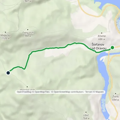 EasyOne-dayMarkedPod Magurkou ŠtefanovElevation profile578–985 m5.1 kmascent 405 m≈ 2 h walking3.1 km from the centre
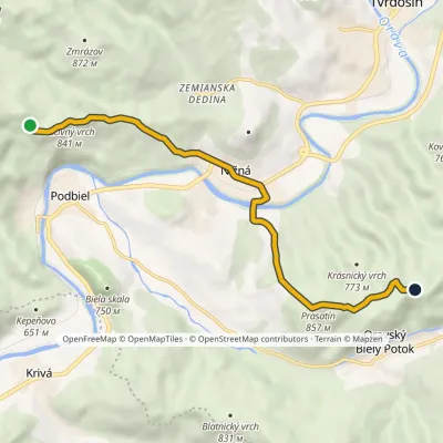 EasyOne-dayMarkedZa Lučivným Stará maťElevation profile557–857 m8.5 kmascent 371 m≈ 3 h walking3.4 km from the centre
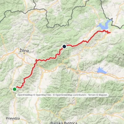 HardMulti-dayMarkedKľak TrstenáElevation profile354–1 671 m119.6 kmascent 7 571 m3.8 km from the centre
Peaks nearby
All peaks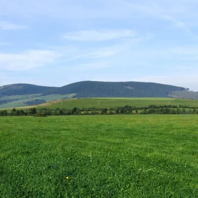 PeakMníchZuberecaltitude 1 110 m8 km from the centreMních is a summit 1110 m high in the Skorušina Mountains (Skorušinské vrchy) in Orava, Slovakia, in their Kopec subunit.
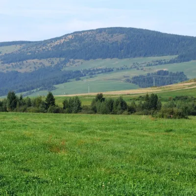 PeakMachyOravský Biely Potokaltitude 1 202 m9.1 km from the centreMachy is a 1202 m summit in the Skorušina Mountains in Orava, northern Slovakia. It rises above the village of Zuberec, about 8 km south of Tvrdošín, in the central...
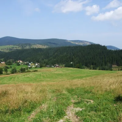 PeakKopecOravský Biely Potokaltitude 1 251 m10 km from the centreKopec (Slovak for “mound”; formerly Polish Kopiec) is a 1,251 m summit, the second highest in the Skorušinské vrchy of northern Slovakia.
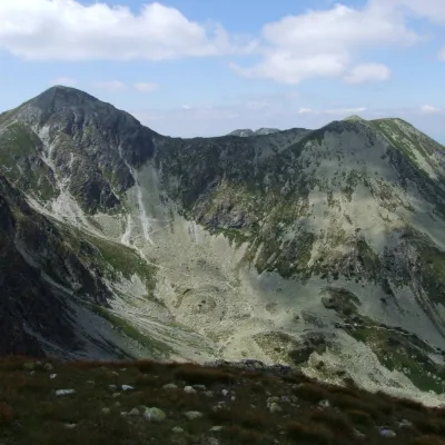 PeakSpálenáZuberecaltitude 2 083 m18 km from the centreSpálená (Polish Spalona Kopa) is a summit 2083 m high on the main ridge of the Western Tatras, in their wildest part, the Roháče, in Slovakia.
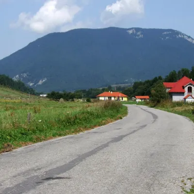 PeakProsečnéVeľké Borovéaltitude 1 372 m18 km from the centreProsečné (local forms Prosečnô, Prosečná; Polish Prosieczne) is a prominent 1372 m peak in the Choč Mountains of northern Slovakia.
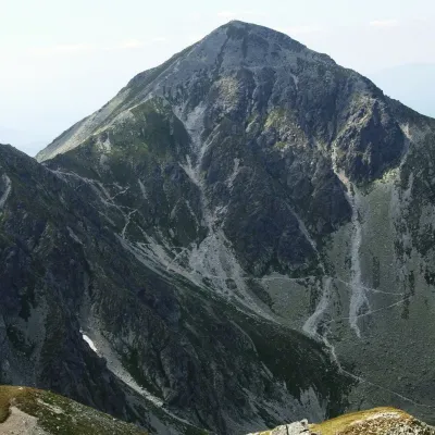 PeakPachoľaJalovecaltitude 2 167 m18 km from the centrePachoľa (Polish Pachoł or Pachola) is a striking pyramid-shaped 2,166.6 m summit on the main ridge of the Western Tatras, in their Roháče part.
What to visit
All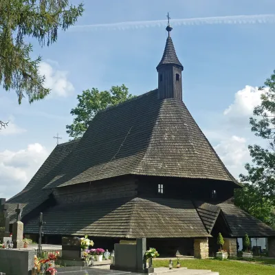 ChurchWooden Gothic Church of All Saints, TvrdošínTvrdošínunder 1 km from the centreThe Wooden Gothic Church of All Saints (Kostol Všetkých svätých) stands in the cemetery of Tvrdošín in the Orava region, only a few dozen kilometres from the Polish...
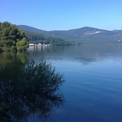 LakeOrava Reservoir and Slanica IslandNámestovo8.7 km from the centreOrava Reservoir (Oravská priehrada), jokingly called the “Orava Sea” by locals, lies in northern Slovakia, in the historic region of Orava, close to the Polish border.
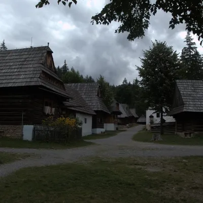 MuseumMuseum of the Orava Village (Zuberec open-air museum)Zuberec11 km from the centreThe Museum of the Orava Village (Múzeum oravskej dediny) is an open-air museum on the Brestová meadow at about 830 m, at the foot of the Western Tatras — the Roháče.
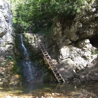 WaterfallRáztocký waterfall and the Oblazy mills (Kvačianska valley)Kvačany15 km from the centreThe Ráztocký waterfall (Ráztocký vodopád) is an eight-metre waterfall on the Ráztoka stream in the Chočské vrchy of northern Slovakia, just above the locality of...
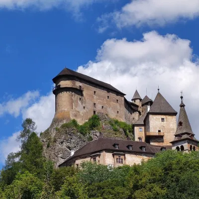 CastleOrava CastleOravský Podzámok16 km from the centreOrava Castle (Oravský hrad) stands on a sheer limestone rock above the Orava river in the village of Oravský Podzámok in northern Slovakia.
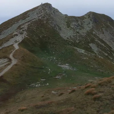 Mountain meadowThe grassy hole of Salatín and Brestová in the Western TatrasZuberecaltitude 2 048 m16 km from the centreSalatín (2,048 m) is a massive grassy mountain on the main ridge of the Western Tatras (Západné Tatry) in Slovakia, above the Bobrovecká and Jalovecká valleys on the...
Craft nearby
All craft places Water parks & thermal poolsOravice thermal poolsVitanová14 km from the centreThe Oravice thermal pools (Termálne kúpalisko Oravice) are the municipal thermal baths in the mountain settlement of Oravice at the foot of the Western Tatras.
 Water parks & thermal poolsMeander Thermal Resort, OraviceVitanová15 km from the centreMeander Thermal & Ski Resort (formerly Meander Park) is a thermal water park and ski centre in the mountain settlement of Oravice in northern Slovakia, at the foot of...
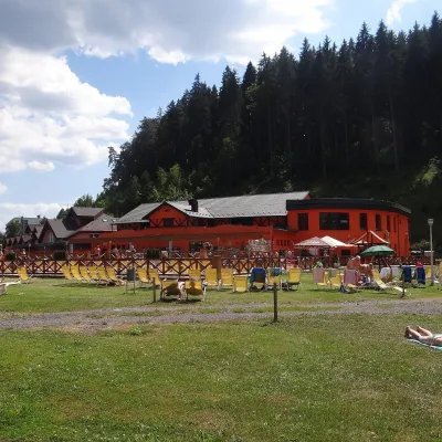 Water parks & thermal poolsLúčky Spa and AQUA-VITAL ParkLúčky25 km from the centreLúčky Spa (Kúpele Lúčky) lies in a quiet valley beneath the Choč Mountains, in the village of Lúčky near Ružomberok.
 Water parks & thermal poolsAquapark TatralandiaLiptovský Mikuláš25 km from the centreAquapark Tatralandia is a large year-round water leisure complex near Liptovský Mikuláš, on the northern shore of the Liptovská Mara reservoir.
 Koliby & Hutsul cuisineSalaš Dechtáre above Liptovská MaraGalovany27 km from the centreSalaš Dechtáre is a wooden koliba above the Liptovská Mara reservoir that is described as one of Slovakia’s first commercial salaš restaurants.
 Water parks & thermal poolsBešeňová Water ParkBešeňová27 km from the centreBešeňová — the "thermal heart of Liptov" Bešeňová Water Park (Vodný park Bešeňová) lies on the edge of the village of the same name in the western part of the Liptov...
Spas and thermal pools nearby
Water parks & thermal poolsOravice thermal poolsVitanová14 km from the centreThe Oravice thermal pools (Termálne kúpalisko Oravice) are the municipal thermal baths in the mountain settlement of Oravice at the foot of the Western Tatras.Water parks & thermal poolsMeander Thermal Resort, OraviceVitanová15 km from the centreMeander Thermal & Ski Resort (formerly Meander Park) is a thermal water park and ski centre in the mountain settlement of Oravice in northern Slovakia, at the foot of...Water parks & thermal poolsLúčky Spa and AQUA-VITAL ParkLúčky25 km from the centreLúčky Spa (Kúpele Lúčky) lies in a quiet valley beneath the Choč Mountains, in the village of Lúčky near Ružomberok.Huts, shelters and springs nearby
Getting there from Ukraine
Border crossings
- Uzhhorod – Vyšné Nemecké — road, 24/7
- Malyi Bereznyi – Ubľa — road, 24/7 For cars and buses; pedestrians not confirmed by the Ukrainian border service, lorries up to 3.5 t.
- Mali Selmentsi – Veľké Slemence (pedestrian) — pedestrian, 09:00–21:00 Kyiv time Pedestrians and cyclists only; inconvenient for the Tatras without onward transport.
- Chop – Čierna nad Tisou (rail) — rail, 24/7
By car
From Uzhhorod ≈275 km, ≈3 h 35 min without queues: Uzhhorod – Vyšné Nemecké → I/19 to Košice → D1 motorway via Prešov, Poprad and Liptovský Mikuláš to Ružomberok (≈270 km, ≈3 h 25 min from the border). From Lviv it is faster through Poland: M-10 → Krakovets – Korczowa → A4 to Kraków → S7/DK7 to the Chyżne – Trstená border → R3 and I/59 via Dolný Kubín to Ružomberok: ≈482 km, ≈6 h 15 min (via Uzhok and Ubľa ≈500 km, ≈7 h 30 min). The D1 requires an e-vignette (eznamka.sk).
Checked 23.10.2026; border crossing hours and timetables change — check before you travel.
