Nižná – Ostražica
Trail map
Route, springs and shelters: © OpenStreetMap contributors (ODbL) · elevation: Copernicus DEM © DLR e.V., © Airbus DS · Data & licences
About the trail
Route Nižná – Ostražica. Has yellow marking (local route №8576V, KST). Waymarking data: OpenStreetMap (© OpenStreetMap contributors, ODbL).
Officially marked local tourist route No. 8576V. The marking is yellow, the sign is a triangle in the corner on a white background. Marked and maintained by: KST. Length of the route — 2.5 km. Location: mountain range — Mala Fatra, Slovakia.
At a glance
A short route of 2.5 km with 206 m of ascent from Nižná to Ostražica. Estimated walking time: about 1 h, not counting stops. Difficulty: easy. Waymarking: yellow.
Water and overnight stays
Springs near the trail: at km 0.5 and 1.5.
Huts and shelters near the trail: Koliba pod krížom na hrade Hut (km 2.5).
When to go
The route can be walked most of the year; it is most comfortable from April to October.
Getting there
Start: Nižná.
FAQ
- How long does the route take?
- Estimated walking time: about 1 h, not counting stops.
- Is there water on the route?
- Springs near the trail: at km 0.5 and 1.5.
- Where can I stay overnight?
- Huts and shelters near the trail: Koliba pod krížom na hrade Hut (km 2.5).
Water and shelter on the route
- Drinking water below Ostražicakm 0.4 from the start · 120 m off the path · Not verified · 567 m
- Spring below Ostražicakm 1.5 from the start · Not verified · 648 m
- Koliba pod krížom na hrade Hutkm 2.3 from the start · 50 m off the path · Not verified · 739 m
Comments
Trails nearby
All trails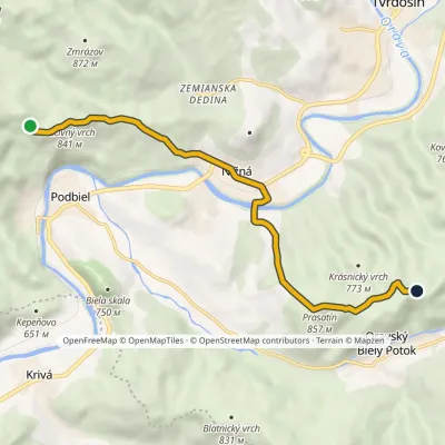
Craft nearby
All craft places Water parks & thermal poolsOravice thermal pools16 km from the trailThe Oravice thermal pools (Termálne kúpalisko Oravice) are the municipal thermal baths in the mountain settlement of Oravice at the foot of the Western Tatras.
 Water parks & thermal poolsMeander Thermal Resort, Oravice16 km from the trailMeander Thermal & Ski Resort (formerly Meander Park) is a thermal water park and ski centre in the mountain settlement of Oravice in northern Slovakia, at the foot of...
 Cheese dairies & pasturesShepherds' Huts on Polana Chochołowska21 km from the trailPolana Chochołowska is the largest glade in the Polish Tatras and one of the largest in the whole range.
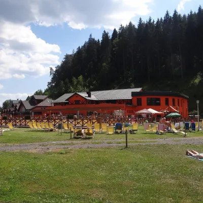 Water parks & thermal poolsLúčky Spa and AQUA-VITAL Park22 km from the trailLúčky Spa (Kúpele Lúčky) lies in a quiet valley beneath the Choč Mountains, in the village of Lúčky near Ružomberok.
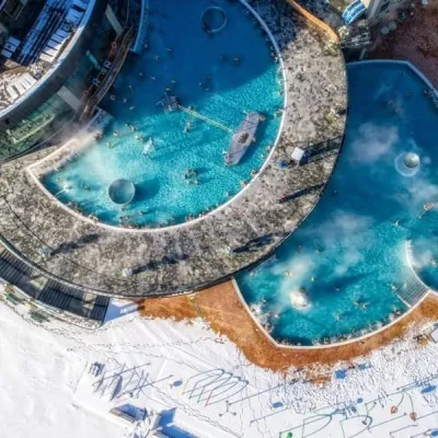 Water parks & thermal poolsChochołowskie Termy22 km from the trailChochołowskie Termy stand in the village of Chochołów in the Podhale region, north-west of Zakopane and not far from the Slovak border.
 Water parks & thermal poolsAquapark Tatralandia23 km from the trailAquapark Tatralandia is a large year-round water leisure complex near Liptovský Mikuláš, on the northern shore of the Liptovská Mara reservoir.
