Prosečné
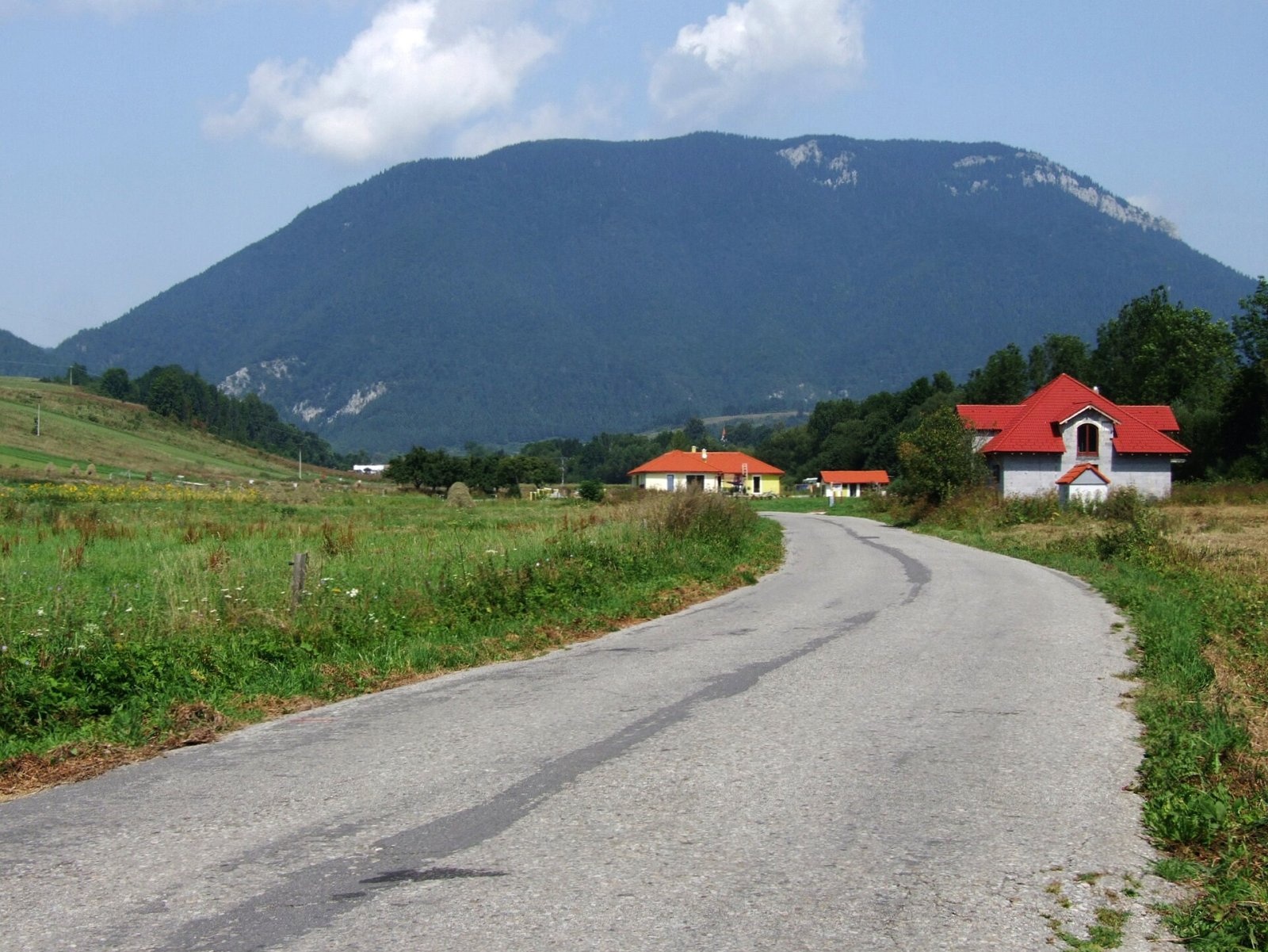
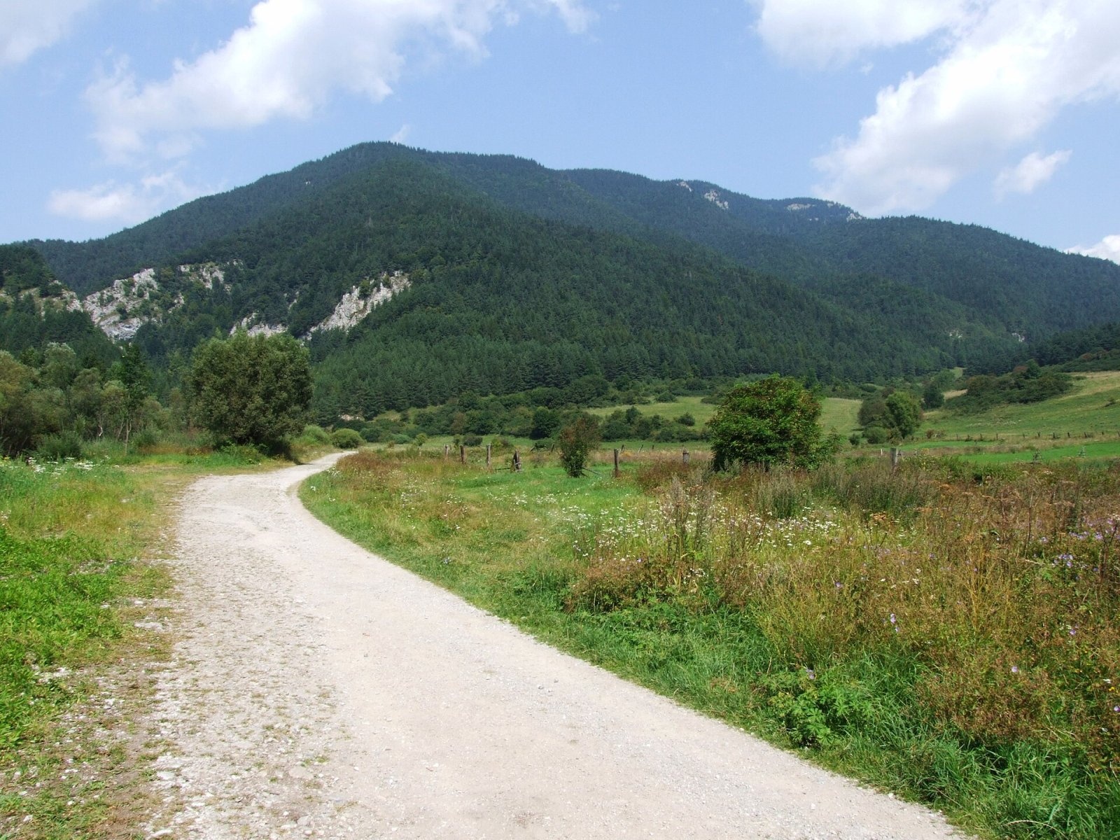
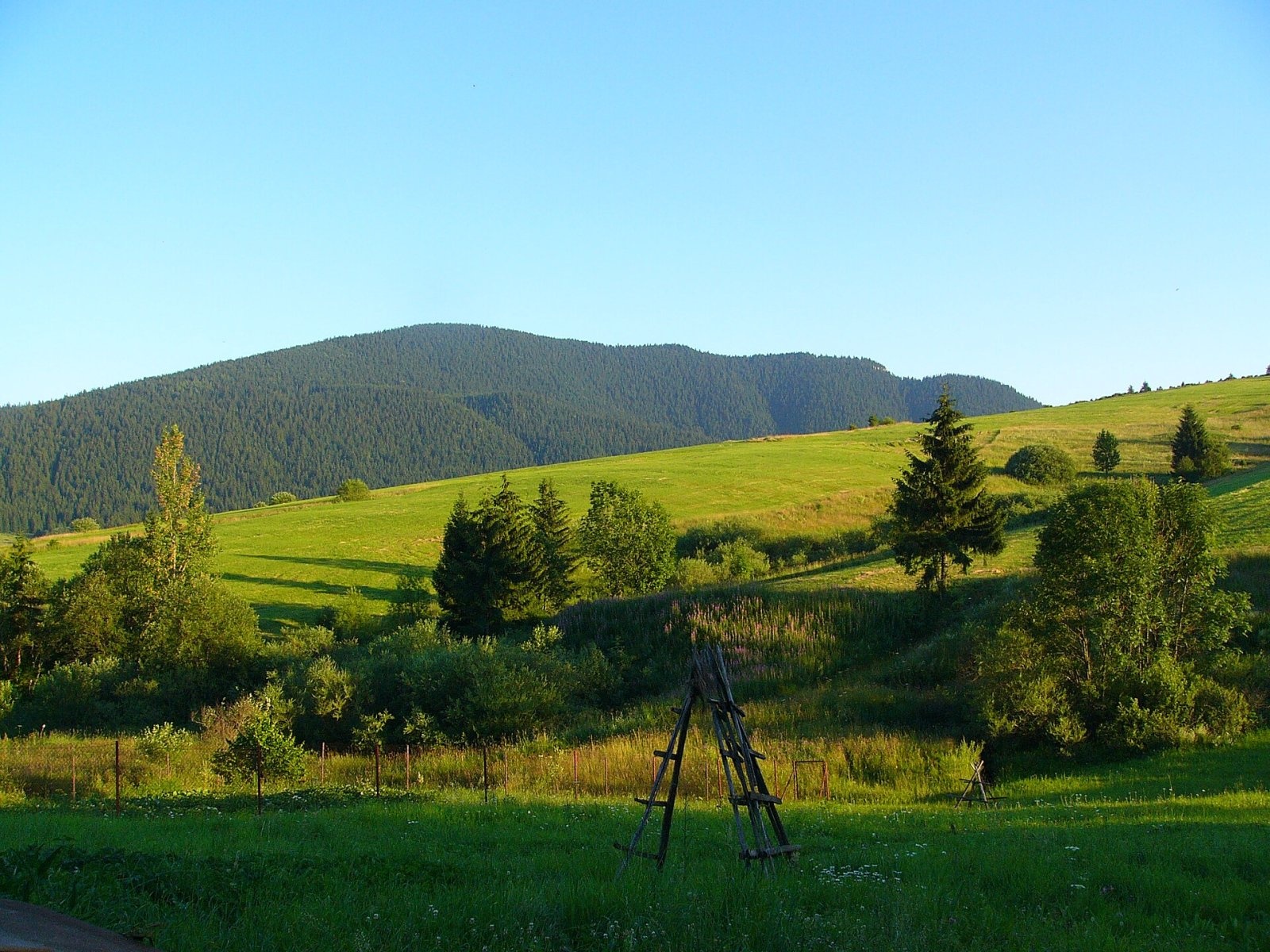
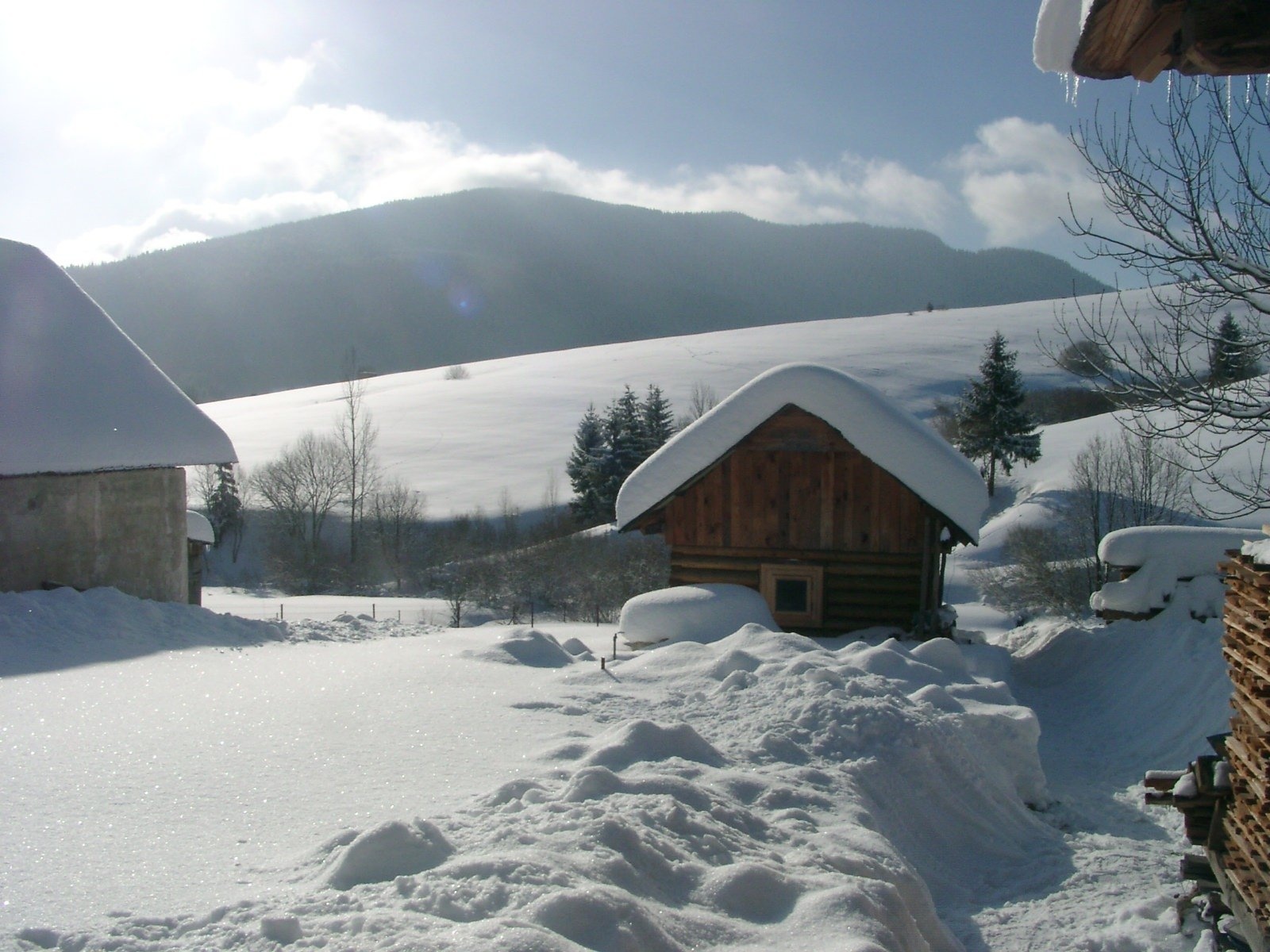

Prosečné (local forms Prosečnô, Prosečná; Polish Prosieczne) is a prominent 1372 m peak in the Choč Mountains of northern Slovakia. It is the highest mountain of their easternmost subunit of the same name and the highest in the whole Choč Mountains outside the Veľký Choč group. The massif rises above the famous Prosiecka valley, about 11 km north-west of Liptovský Mikuláš, and extends into the land of Veľké Borové, Kvačany and Prosiek in Liptovský Mikuláš District of the Žilina Region. Its prominence is about 471 m, so it rises above the Liptov Basin like a mighty wall.
The massif is bounded by the Zuberec furrow to the north, the Kvačianska valley to the east, the Liptov Basin to the south and the Prosiecka valley to the west. The summit itself is a slightly elongated ridge running from south-west to north-east with two faint tops; the north-eastern one is higher. East of the Ostruky saddle (about 1085 m) the hills of Čierna hora (about 1094–1098 m) and Hrádková (1206 m) join the massif; Diel (1051 m) lies to the north, Lomné (1278 m) and Čerenová (1221 m) to the west.
How to get there / routes
A green-marked trail (KST 5620) crosses the summit. It runs from the Borovianka canyon above the Kvačianska valley via the Ostruky saddle to Prosečné, then to the Svorad karst plateau and on via Lomné and the Heliáš abyss to the village of Liptovská Anna. According to Polish sources, the section from the junction in the Borovianka valley via Čierna hora and Prosečné to Svorad takes about 3 hours, about 2 h 50 min in the opposite direction.
- From Kvačany – marked paths via the Oblazy and Borovianka junctions, then the green trail.
- From Prosiek – through the Prosiecka valley to the Svorad junction, then the green trail.
Despite easy access, the mountain is not visited very often: most walkers head for the surrounding valleys – Prosiecka, Kvačianska and Borovianka.
What you can see from the summit
The summit is only partly wooded, so the view is limited but interesting and all-round. Besides the neighbouring Choč Mountains you can see the nearby Liptov Basin with the Liptovská Mara reservoir, the Skorušina Mountains, the Orava Magura ridge, the Orava Beskids, part of the Lesser and Greater Fatra, and the Low and Western Tatras including the Roháče.
Nature and history
Prosečné is built of strongly folded thick beds of Middle Triassic limestones and dolomites, which geologists assign to the Choč nappe. The slopes have many cliffs, rock towers and crags, and three dry gullies cut into the south-eastern slopes. The whole massif is a karst area. Small, slowly overgrowing meadows survive on the ridge between the two tops.
The western slopes belong to the Prosiecka dolina National Nature Reserve, the eastern ones to the protected Kvačianska valley. The massif is drained by the Prosiečanka to the west, the Borovianka to the north and the Kvačianka to the east. In the 2010s large windstorms flattened extensive areas of forest, and in 2017 the green trail was even closed during the clearing work.
Safety, season and rules
In the Prosiecka dolina reserve walk only on marked trails, do not pick plants and do not light fires. Because of the windthrow, check the current state of the trail before you go. The slopes are steep and the forest sections are slippery after rain. The nearest springs are 600–900 m from the summit and the nearest shelter about 1.8 km. In Slovakia, mountain help comes from the Mountain Rescue Service HZS: 18 300 (+421 18 300) or 112.
Interesting facts
- Locals call the mountain Prosečno, Prosečná or Prosiecky vrch.
- The deep notch of the dry Príslop valley between Prosečné and Hrádková is clearly visible from the road between Liptovské Matiašovce and Liptovská Sielnica.
- The village closest to the summit is Veľké Borové, just 2.5 km to the north.
Photos: Jerzy Opioła, CC BY-SA 4.0; Jerzy Opioła, CC BY-SA 4.0; Teslaton, CC BY 3.0; Teslaton, CC BY 3.0; Jerzy Opioła, CC BY-SA 4.0; Jpobeha, CC BY-SA 4.0 — Wikimedia Commons.
Getting there from Ukraine
Border crossings
- Uzhhorod – Vyšné Nemecké — road, 24/7
- Malyi Bereznyi – Ubľa — road, 24/7 For cars and buses; pedestrians not confirmed by the Ukrainian border service, lorries up to 3.5 t.
- Mali Selmentsi – Veľké Slemence (pedestrian) — pedestrian, 09:00–21:00 Kyiv time Pedestrians and cyclists only; inconvenient for the Tatras without onward transport.
- Chop – Čierna nad Tisou (rail) — rail, 24/7
By car
From Uzhhorod ≈275 km, ≈3 h 35 min without queues: Uzhhorod – Vyšné Nemecké → I/19 to Košice → D1 motorway via Prešov, Poprad and Liptovský Mikuláš to Ružomberok (≈270 km, ≈3 h 25 min from the border). From Lviv it is faster through Poland: M-10 → Krakovets – Korczowa → A4 to Kraków → S7/DK7 to the Chyżne – Trstená border → R3 and I/59 via Dolný Kubín to Ružomberok: ≈482 km, ≈6 h 15 min (via Uzhok and Ubľa ≈500 km, ≈7 h 30 min). The D1 requires an e-vignette (eznamka.sk).
Checked 23.10.2026; border crossing hours and timetables change — check before you travel.
Location on the map
Water and shelter nearby
- Spring below Prosečné630 m · Not verified · 1 085 m
- Spring below Sokol Pass (north-east slope)780 m · Not verified · 998 m
- Spring below Sokol Pass (south-east slope), 1 232 m810 m · Not verified · 1 232 m
- Spring in Prosečné1.2 km · Not verified · 1 171 m
- Spring below Kubín (east slope)1.3 km · Not verified · 952 m
- Spring below Kubín (north-east slope)1.4 km · Not verified · 944 m
- Vyvieranisko Spring2.1 km · Not verified · 715 m
- Spring below Hrádok (east slope)2.1 km · Not verified · 657 m
- Krasová Spring2.2 km · Not verified · 640 m
- Spring below Hrádok (south-east slope), 647 m2.2 km · Not verified · 647 m
- Spring below Hrádok (south-east slope), 653 m2.2 km · Not verified · 653 m
- výver Spring2.2 km · Not verified · 744 m
- Spring below Hoľa (north-west slope)2.2 km · Not verified · 667 m
- Spring below Háj (south-west slope), 809 m2.3 km · Not verified · 809 m
- Spring below Hrádok (south-east slope), 651 m2.3 km · Not verified · 651 m
- Spring below Hrádok (south-east slope), 637 m2.3 km · Not verified · 637 m
Comments
Trails nearby
All trails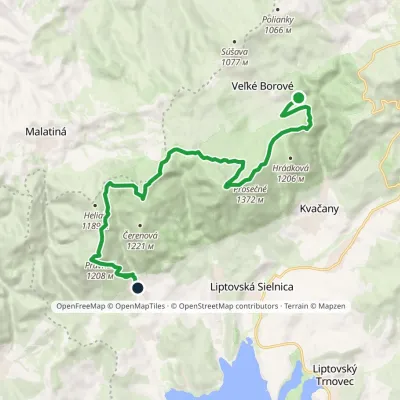 ModerateTwo-dayMarkedLiptovská Anna Dolina Borovianky, junctionElevation profile662–1 372 m17 kmascent 1 132 m≈ 6.5 h walkingunder 1 km from Prosečné
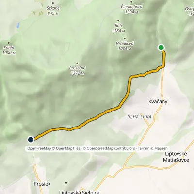 EasyOne-dayMarkedÚstie Prosieckej Valley KvačanyElevation profile632–766 m4.6 kmascent 171 m≈ 1.5 h walking1.4 km from Prosečné
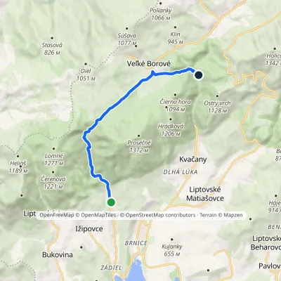 EasyOne-dayMarkedProsiek Oblazy, junctionElevation profile618–942 m8.8 kmascent 391 m≈ 3 h walking1.4 km from Prosečné
Nearby attractions
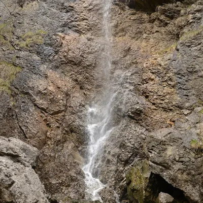 WaterfallČervené piesky waterfall in the Prosiecka valleyProsiek2.1 km from ProsečnéČervené piesky is a 15-metre waterfall in a side valley of the Prosiecka dolina in the Chočské vrchy of northern Slovakia, above the village of Prosiek in the Liptov...
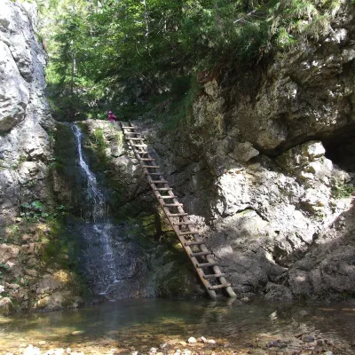 WaterfallRáztocký waterfall and the Oblazy mills (Kvačianska valley)Kvačany3.2 km from ProsečnéThe Ráztocký waterfall (Ráztocký vodopád) is an eight-metre waterfall on the Ráztoka stream in the Chočské vrchy of northern Slovakia, just above the locality of...
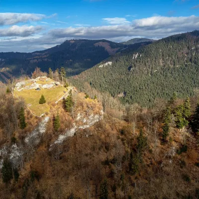 CastleLiptov Castle (ruins)Liptovská Sielnica6.8 km from ProsečnéLiptov Castle (Liptovský hrad), also known as Liptov Old Castle or Sielnica Castle, is the ruin of a medieval fortress on the summit of Sestrč (999.9 m) in the Choč...
Craft nearby
All craft places Water parks & thermal poolsAquapark TatralandiaLiptovský Mikuláš8.7 km from ProsečnéAquapark Tatralandia is a large year-round water leisure complex near Liptovský Mikuláš, on the northern shore of the Liptovská Mara reservoir.
 Koliby & Hutsul cuisineSalaš Dechtáre above Liptovská MaraGalovany9.2 km from ProsečnéSalaš Dechtáre is a wooden koliba above the Liptovská Mara reservoir that is described as one of Slovakia’s first commercial salaš restaurants.
 Water parks & thermal poolsBešeňová Water ParkBešeňová9.6 km from ProsečnéBešeňová — the "thermal heart of Liptov" Bešeňová Water Park (Vodný park Bešeňová) lies on the edge of the village of the same name in the western part of the Liptov...
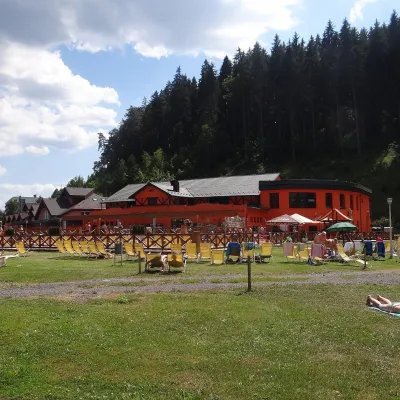 Water parks & thermal poolsLúčky Spa and AQUA-VITAL ParkLúčky9.6 km from ProsečnéLúčky Spa (Kúpele Lúčky) lies in a quiet valley beneath the Choč Mountains, in the village of Lúčky near Ružomberok.
 Craft beer & breweriesLiptovar brewery, Liptovský Mikuláš: craft beer and brewpubLiptovský Mikuláš13 km from ProsečnéLiptovský Mikuláš is the main town of the Liptov region, a short drive from the Low and Western Tatras, the Demänovská Valley and the Liptovská Mara reservoir.
 Water parks & thermal poolsTERMAL raj thermal bath, Liptovský JánLiptovský Ján19 km from ProsečnéLiptovský Ján: thermal water at the entrance to Jánska dolina Liptovský Ján is an old village in southern Liptov, about 10 km from Liptovský Mikuláš, at the entrance...
