Chortka ridge: Mount Chortka – Mount Poharchyna
Trail map
Route, springs and shelters: © OpenStreetMap contributors (ODbL) · elevation: Copernicus DEM © DLR e.V., © Airbus DS · Data & licences
Where to stay nearby
About the trail
Route Chortka ridge: Mount Chortka – Mount Poharchyna. Has black marking (local route). Waymarking data: OpenStreetMap (© OpenStreetMap contributors, ODbL).
Officially marked local tourist route. The marking is black, the sign is a horizontal stripe on a white background. The length of the route is 4.6 km. Location: mountain range — Horgany, Ivano-Frankivsk region.
Attention: part of the route has not yet been marked on OpenStreetMap, so the line on the map has gaps. On the ground, navigate by the marking signs.
At a glance
A short route of 4.6 km with 81 m of ascent and 250 m of descent from Mount Chortka to Mount Poharchyna. Estimated walking time: about 1.5 h, not counting stops. Difficulty: easy. Waymarking: black.
How we estimate walking time
By Naismith's rule, used by mountain clubs and guidebooks: an average hiker walks 4 km an hour on the flat and needs one more hour for every 600 m of ascent. For this trail: 4.6 km ÷ 4 = 1.1 h + 81 m ÷ 600 = 0.1 h, about 1.5 h of walking in total.
- Breaks, snacks and photos: add 20–30 %.
- A heavy pack, children, snow, a wet path or windfall add more; a long steep descent also takes time, especially for the knees.
- The height of the Carpathians (up to 2,655 m) hardly changes the pace — on the ridges wind, fog and weather slow you down.
- Limits: up to 9 h is one day; 9–13 h is a very long day or two; over 13 h means several days with overnight stays.
Route stages
- 0–4.5 kmGentle ups and downs at 1,030–1,200 m, past Ridge and mountain Chortka
Steepest kilometre: km 4–4.5, a descent of 110 m (≈15%).
Water and overnight stays
Springs near the trail: at km 1, 2 and 3.5.
Huts and shelters near the trail: Hut on Polonyna Valova (km 0.5), Hut on Polonyna Komarnyky (km 3.5). Places to stay near the finish: Bohorodchany.
When to go
Best time: May to October. In winter deep snow is possible, so experience and winter gear are needed.
Getting there
Start: Mount Chortka. This is a one-way route: the finish is 4 km from the start in a straight line, so plan your way back in advance.
FAQ
- How long does the route take?
- Estimated walking time: about 1.5 h, not counting stops.
- Is there water on the route?
- Springs near the trail: at km 1, 2 and 3.5.
- Where can I stay overnight?
- Huts and shelters near the trail: Hut on Polonyna Valova (km 0.5), Hut on Polonyna Komarnyky (km 3.5). Places to stay near the finish: Bohorodchany.
Water and shelter on the route
- Hut on Polonyna Valovakm 0.5 from the start · Standing · 1 164 m
- Spring below Mount Khrebet i hora Chortka (2)km 1 from the start · Not verified · 1 180 m
- Drinking water below Mount Khrebet i hora Chortkakm 2.6 from the start · 80 m off the path · Not verified · 1 107 m
- Hut on Polonyna Komarnykykm 4.3 from the start · 220 m off the path · Not verified · 1 139 m
- Spring below Mount Khrebet i hora Chortkakm 4.4 from the start · 100 m off the path · Not verified · 1 100 m
Before you go, check the border-regime restrictions: Border Guard permit for mountain hikes (in Ukrainian)
Comments and trail condition
Travellers’ experience: reports, tips, questions.
No one has reported on this trail yet. Been here lately? Tell others what it is like now.
Wildlife along the route
AllTrails nearby
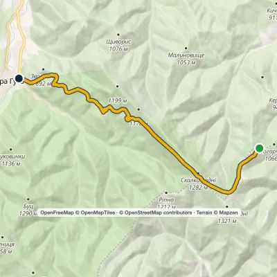
All trails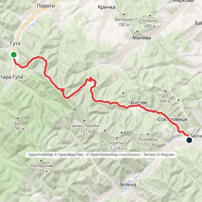 HardOne-dayMarkedHuta village Pasichna villageElevation profile524–1 207 m26.4 kmascent 993 m≈ 8.5 h walking
 EasyOne-dayMarkedHuta PoharchynaElevation profile667–1 267 m11 kmascent 276 m≈ 3 h walking
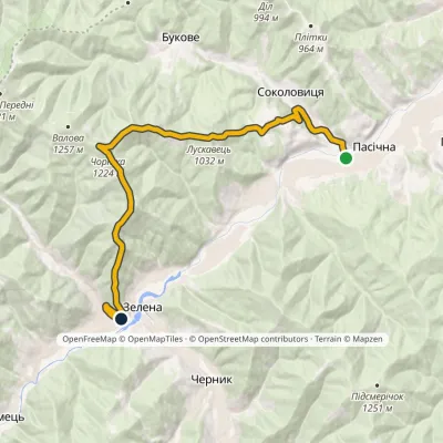 ModerateOne-dayMarkedPasichna village Zelena villagevia Mount ChortkaElevation profile520–1 224 m15.8 kmascent 759 m≈ 5 h walking
Craft nearby
All craft places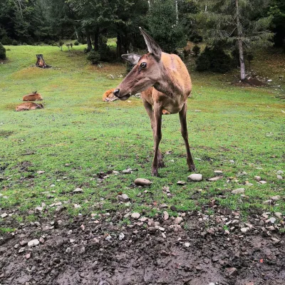 Wildlife parks & animal farmsCarpathian National Park Enclosure Farm, YaremcheYaremche21 km from the trailThe Enclosure Farm of the Carpathian National Nature Park is a small wildlife park on the edge of Yaremche where you can see animals of the Carpathian forests up close.
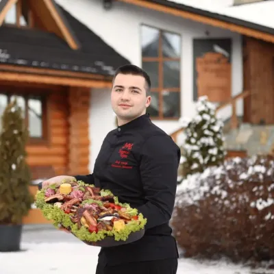 Koliby & Hutsul cuisineVedmezha Hora Koliba, YaremcheYaremche21 km from the trailVedmezha Hora koliba in Yaremche (“Bear Mountain”) is a family restaurant that has long been one of the town’s most popular food addresses.
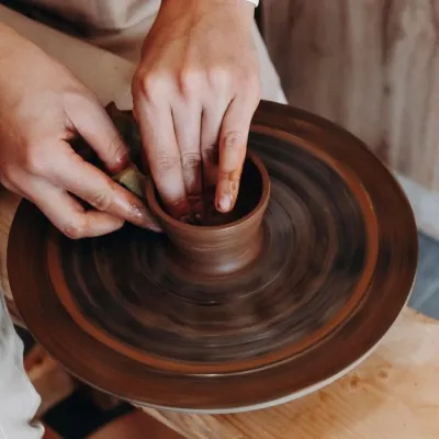 Ethno tours & guidesKosiv & Yavoriv Hutsul Crafts Tour from YaremcheYaremche21 km from the trailIf you are staying in Yaremche or Bukovel and want to see the real craft heartland of the Hutsul region, not just the mountain views, a handy option is a day tour to...
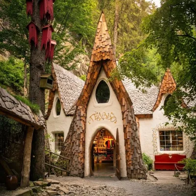 Theme parksGedzio Park of Legends, YaremcheYaremche21 km from the trailGedzio Park of Legends is a fairy-tale theme park in Yaremche, a few steps from the Probiy waterfall. It is designed as the imaginary settlement of Obinor, home to...
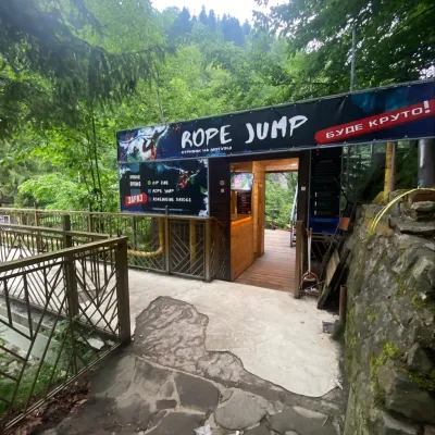 Adventures & attractionsRope jumping at Probiy waterfall, YaremcheYaremche21 km from the trailRope jumping at the Probiy waterfall is the loudest adrenaline thrill in Yaremche. The Active Day team runs jumps right above the rocky canyon of the Prut, a few dozen...
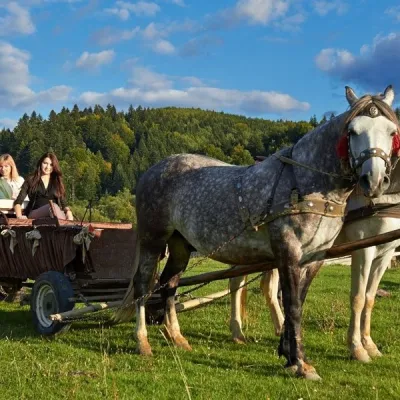 Horse ridingHorse Trails from Kamianyi Dvir Cottage, YaremcheYaremche21 km from the trailBesides accommodation, the Kamianyi Dvir (“Stone Yard”) cottage on Hrushevskoho Street in Yaremche is known for its horse rides.
