Bystrets turn-off – Chufrova polonyna
Trail map
Route, springs and shelters: © OpenStreetMap contributors (ODbL) · elevation: Copernicus DEM © DLR e.V., © Airbus DS · Data & licences
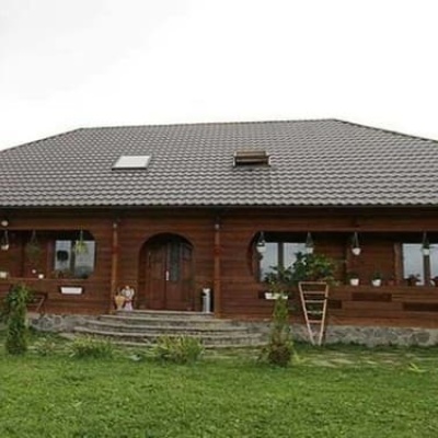
Where to stay nearby
About the trail
Route Bystrets turn-off – Chufrova polonyna. Has black marking (regional route). Waymarking data: OpenStreetMap (© OpenStreetMap contributors, ODbL).
Officially marked regional tourist route. The marking is black, the sign is a horizontal stripe on a white background. Length of the route is 9.4 km. Location: mountain range – Chornohora, Ivano-Frankivsk region.
At a glance
A one-day route of 9.4 km with 876 m of ascent from Bystrets turn-off to Chufrova polonyna. Estimated walking time: about 4 h, not counting stops. Difficulty: moderate. Waymarking: black.
Route stages
- 0–2 kmClimb of 360 m (up to 1,069 m)
- 2–5 kmGentle ups and downs at 1,010–1,120 m
- 5–6 kmClimb of 120 m (up to 1,139 m)
- 6–6.5 kmGentle ups and downs at 1,070–1,140 m
- 6.5–8 kmClimb of 270 m (up to 1,344 m)
- 8–9.5 kmGentle ups and downs at 1,340–1,390 m
Steepest kilometre: km 0–1, a climb of 280 m (≈28%).
Water and overnight stays
Springs near the trail: at km 0.5, 2.5 and 9.
Huts and shelters near the trail: Mountain shelter below Mount Vukhatyi Kamin (km 9.5). Places to stay near the start: Bystrets; near the finish: Dzembronia.
When to go
Best time: May to October. In winter deep snow is possible, so experience and winter gear are needed.
Getting there
Start: Bystrets turn-off. Most places to stay near the start are in Bystrets. This is a one-way route: the finish is 7 km from the start in a straight line, so plan your way back in advance.
FAQ
- How long does the route take?
- Estimated walking time: about 4 h, not counting stops.
- Is there water on the route?
- Springs near the trail: at km 0.5, 2.5 and 9.
- Where can I stay overnight?
- Huts and shelters near the trail: Mountain shelter below Mount Vukhatyi Kamin (km 9.5). Places to stay near the start: Bystrets; near the finish: Dzembronia.
Water and shelter on the route
- Drinking water (Bystrets)km 0.7 from the start · 280 m off the path · Not verified · 708 m
- Spring (Dzembronia, 3)km 2.5 from the start · 150 m off the path · Not verified · 1 036 m
- Spring below Mount Vukhatyi Kamin (9)km 8.8 from the start · Not verified · 1 375 m
- Mountain shelter below Mount Vukhatyi Kaminkm 9.4 from the start · 130 m off the path · Not verified · 1 385 m
Wildlife along the route
All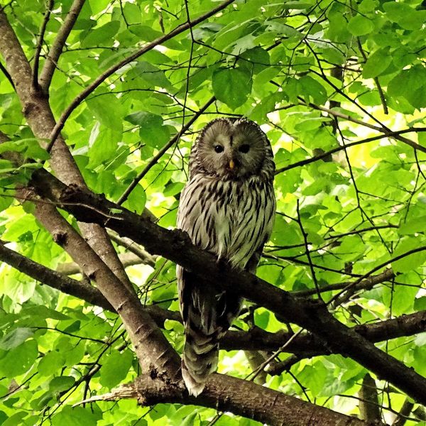
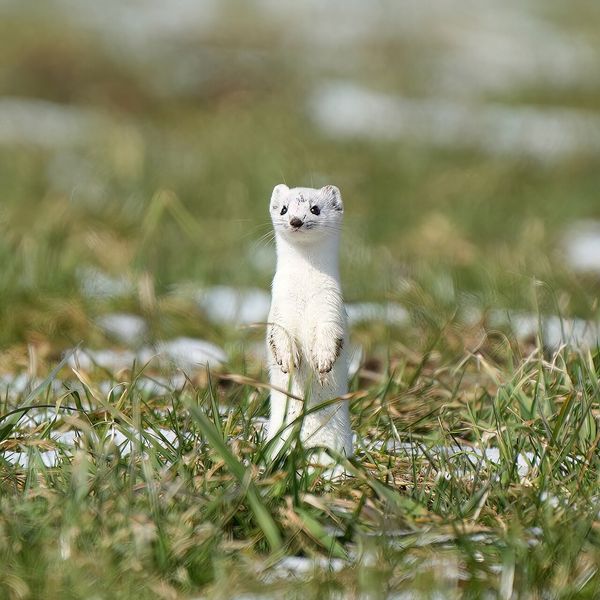
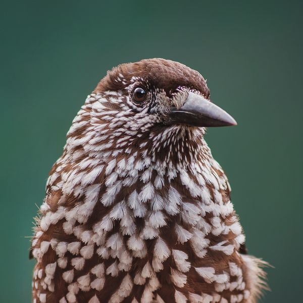
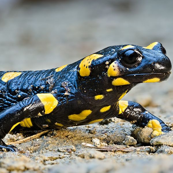
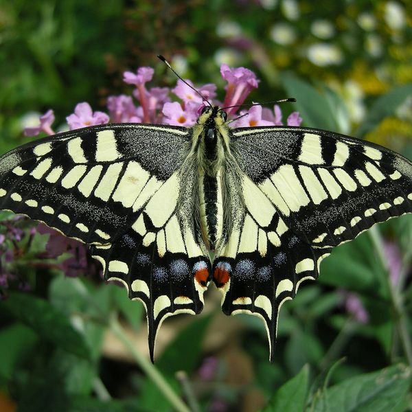
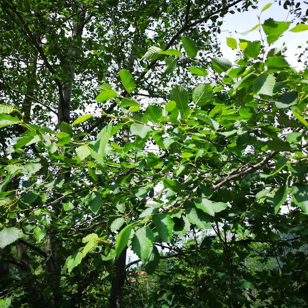
Based on naturalists’ records nearby (GBIF, iNaturalist), matched by altitude, habitat and season. Sightings are not guaranteed.
Before you go, check the border-regime restrictions: Border Guard permit for mountain hikes (in Ukrainian)
Comments
Trails nearby
All trails HardTwo-dayDzembronia village loopvia Mount Brebeneskul, Mount MenchulElevation profile1 010–2 035 m24 kmascent 1 455 m≈ 9 h walking
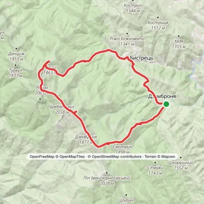 HardMulti-dayDzembronia village loopvia Mount Smotrych, Mount Dzembronia +2Elevation profile816–2 035 m32.5 kmascent 1 832 m≈ 12 h walking
 HardMulti-dayMarkedRakhiv to Iltsi villagevia Mount Pip Ivan Marmaroskyi, Mount Mika-Mare +1Elevation profile437–2 028 m88.2 kmascent 3 671 m
Craft nearby
All craft places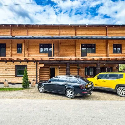 Koliby & Hutsul cuisineZRUB Ethno Restaurant, IltsiIltsi5.1 km from the trailZRUB Ethno Restaurant is a new log-built home of Hutsul cooking in the village of Iltsi, on the edge of Verkhovyna, the town often called the Hutsul capital.
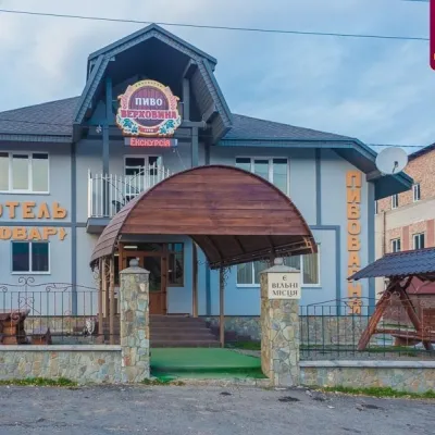 Craft beer & breweriesVerkhovyna Brewery at the Pyvovar Motel, VerkhovynaVerkhovyna7.2 km from the trailVerkhovyna Brewery operates at the Pyvovar motel on the approach to Verkhovyna, the Hutsul capital of the Carpathians.
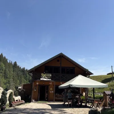 Craft shopsKopalnia Bryndzy cheese shop and tasting, VerkhovynaVerkhovyna7.8 km from the trailKopalnia Bryndzy (“The Brynza Mine”) is a small farm cheese shop with a tasting room on the edge of Verkhovyna, in the valley of the Zhabievskyi stream.
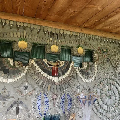 Ethno parks & homesteadsArt Ethno-Sadyba “Tsikava Sadyba”, VerkhovynaVerkhovyna8.8 km from the trailTsikava Sadyba («The Curious Estate») is a private art homestead in the very centre of Verkhovyna that local housewife and artist Oksana Susiak has been shaping since...
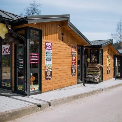 Markets & fairsTorhovyshche Souvenir Market, VerkhovynaVerkhovyna9.4 km from the trailTorhovyshche is a modern souvenir market right in the centre of Verkhovyna, the capital of the mountain Hutsul region.
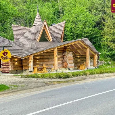 Koliby & Hutsul cuisineBabyna Koliba, KryvorivniaKryvorivnia14 km from the trailBabyna Kolyba («Granny's Koliba») serves authentic Hutsul food in Kryvorivnia, a village sometimes called the «Ukrainian Athens»: Ivan Franko, Mykhailo Kotsiubynskyi...
