Mount Dunavka
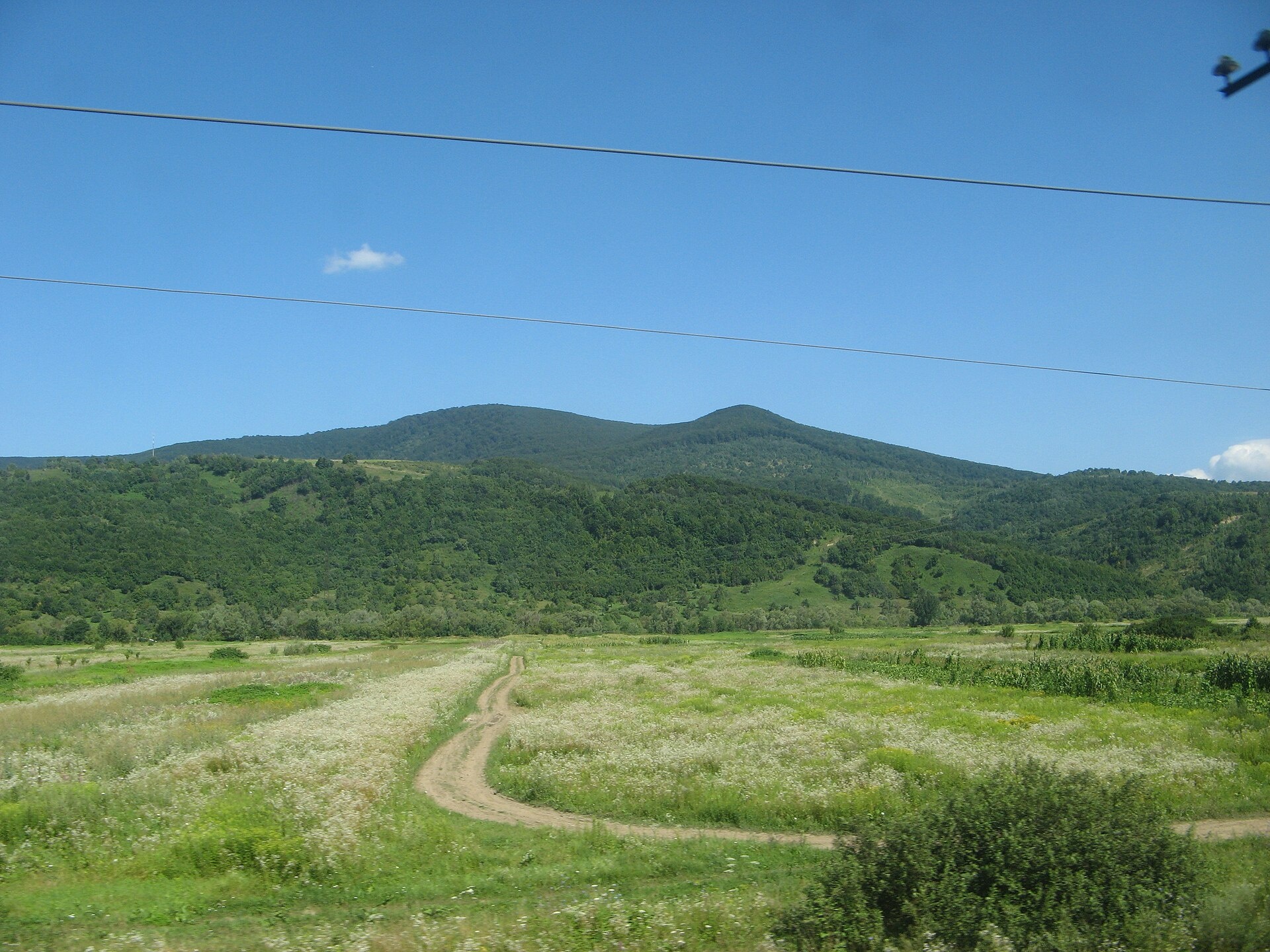
Dunavka is the highest summit of the Syniak mountain massif, 1,018 m high. Syniak is part of the Vyhorlat-Gutin volcanic ridge and lies within the Mukachevo, Svaliava and (partly) Perechyn districts of Zakarpattia Oblast, on the right bank of the Latorytsia river. The nearest settlement to the summit is the village of Syniak (about 3.8 km in a straight line), with Pavlovo a little further.
The massif stretches 18–20 km from west to east and 22 km from north to south. To the east it borders the Svaliava basin, to the west the Makovytsia ridge. Most heights here are 900–1,000 m: besides Dunavka there are Serednii Verkh, Solochynskyi Dil, Plishka and Obavskyi Kamin. The crests are mostly sharp, in places dome-shaped, and the steep slopes are cut by small river valleys and ravines.
How to get there
Our site does not yet have a marked route to Dunavka itself. The most convenient start is the spa village of Syniak, from where paths and forest roads lead to the surrounding summits of the massif. Download a track and an offline map before you go — the slopes are densely forested, so there are few landmarks on the way.
Water, shelter and safety
Our map shows no springs or huts within 2.5 km of the summit, so bring water with you. The best place to stay is the village of Syniak with its spa facilities. The slopes of the massif are steep; after heavy rain landslides and floods occur here, so it is better not to go out in bad weather. In an emergency call 112 or 101 — the mountain rescue units of Zakarpattia work around the clock.
Interesting facts
- The Syniak massif is built of effusive (volcanic) and flysch rocks.
- Oak and beech forests grow up to 600 m, above them beech forests with a small admixture of conifers.
- The natural mineral waters of the massif are used by the Syniak and Karpaty climatic and balneological spas.
- The Syniak Regional Landscape Park was created here; protected sites include the Blue Lake, the Syniak sphagnum bog and the Skakalo waterfall.
Photos: MSha, CC BY-SA 3.0 — Wikimedia Commons.
Location on the map
Comments
Places to stay nearby
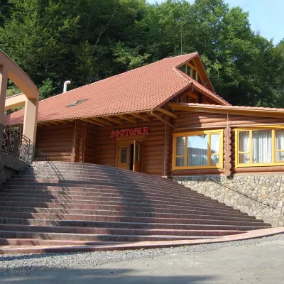 HotelHotel "Zatyshok" Nelypino12 km from Mount DunavkaSaunaParkingWi‑FiNearby: St. Michael's Church 3.7 km2 trails
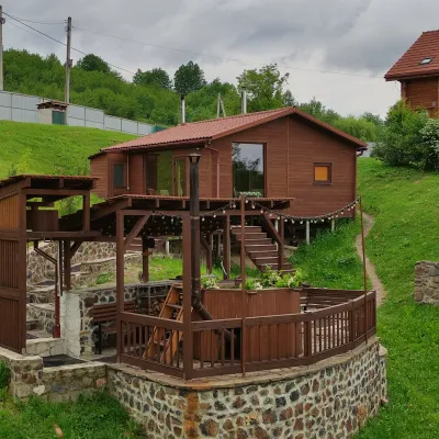 HomesteadEco-house Berdo Svaliava12 km from Mount DunavkaWe invite you to relax in our eco-house. Our principle is - we are either the best or we don't exist!Nearby: St. Michael's Church 600 mPalace of Counts Schönborn 8.2 km
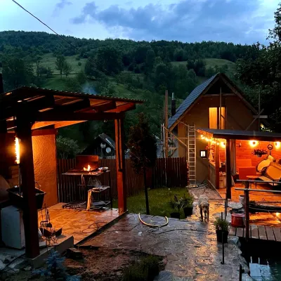 HomesteadPrivate Homestead "Forest House"16 km from Mount DunavkaThe house is designed for 6 people. Additional places are available.Nearby: St. Michael's Church 7.9 km10 trails
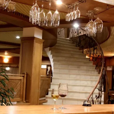 HotelHotel "Tyrol" Solochyn4.6 km from Mount DunavkaPoolSPABBQNearby: Dunavka 4.1 kmPalace of Counts Schönborn 8.7 km
 Ski resortSki Lifts and Trails of the "Synyak" Resort5.1 km from Mount DunavkaPoolSaunaParkingNearby: Dunavka 5.0 kmPalace of Counts Schönborn 6.3 km
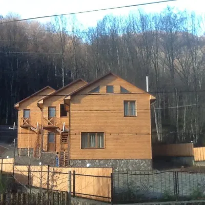 HomesteadGuest House "Prolisok" Synyak5.2 km from Mount DunavkaPoolSaunaBBQNearby: Palace of Counts Schönborn 5.6 kmDunavka 5.0 km
Trails nearby
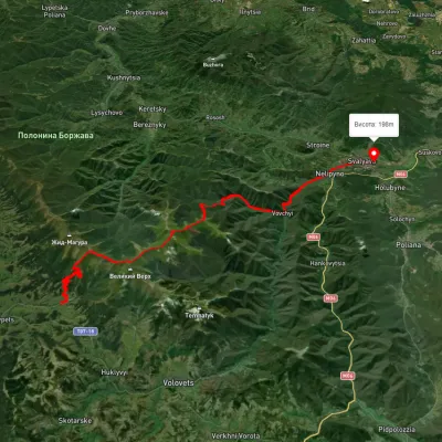 HardMulti-dayUnmarkedPylypets village to Svaliavavia Mount Hemba, Mount Stiy +1Elevation profile196–1 657 m40.2 kmascent 1 359 m≈ 13 h walking13 km from Mount Dunavka
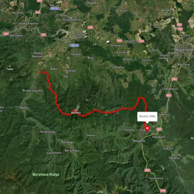 HardMulti-dayUnmarkedLukovo village to Svaliavavia Mount BuzhoraElevation profile165–1 085 m46.8 kmascent 1 967 m14 km from Mount Dunavka
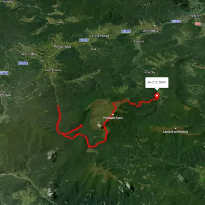 HardMulti-dayUnmarkedTuria Poliana village to Lumshory villagevia Voievodyn Waterfall, Runa polonynaElevation profile-28–1 480 m32.8 kmascent 2 101 m≈ 12.5 h walking14 km from Mount Dunavka
Nearby attractions
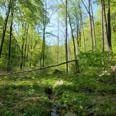 NatureDunavkaunder 1 km from Mount DunavkaMount Dunavka is the highest point of the Synyak mountain range of the Vygorlat-Hutin volcanic ridge in the Ukrainian Carpathians.
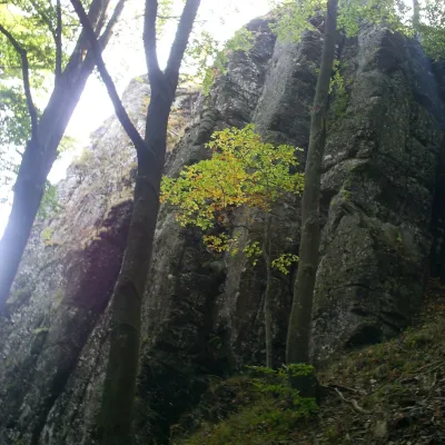 PeakMount Obavskyi Kaminaltitude 979 m · Volcanic Carpathians range5.1 km from Mount DunavkaObavskyi Kamin (the “Obava Stone”) is a 979 m summit in the Syniak massif, part of the volcanic ridge of the Ukrainian Carpathians.
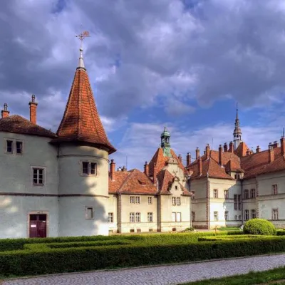 Sight"Palace of Counts Schönborn" Carpathians9.6 km from Mount DunavkaIn the small village of Karpaty in Zakarpattia, there is a fairy-tale Schönborn Castle. Every year, thousands of tourists come here to the Mukachevo region to see the...