Mount Plai
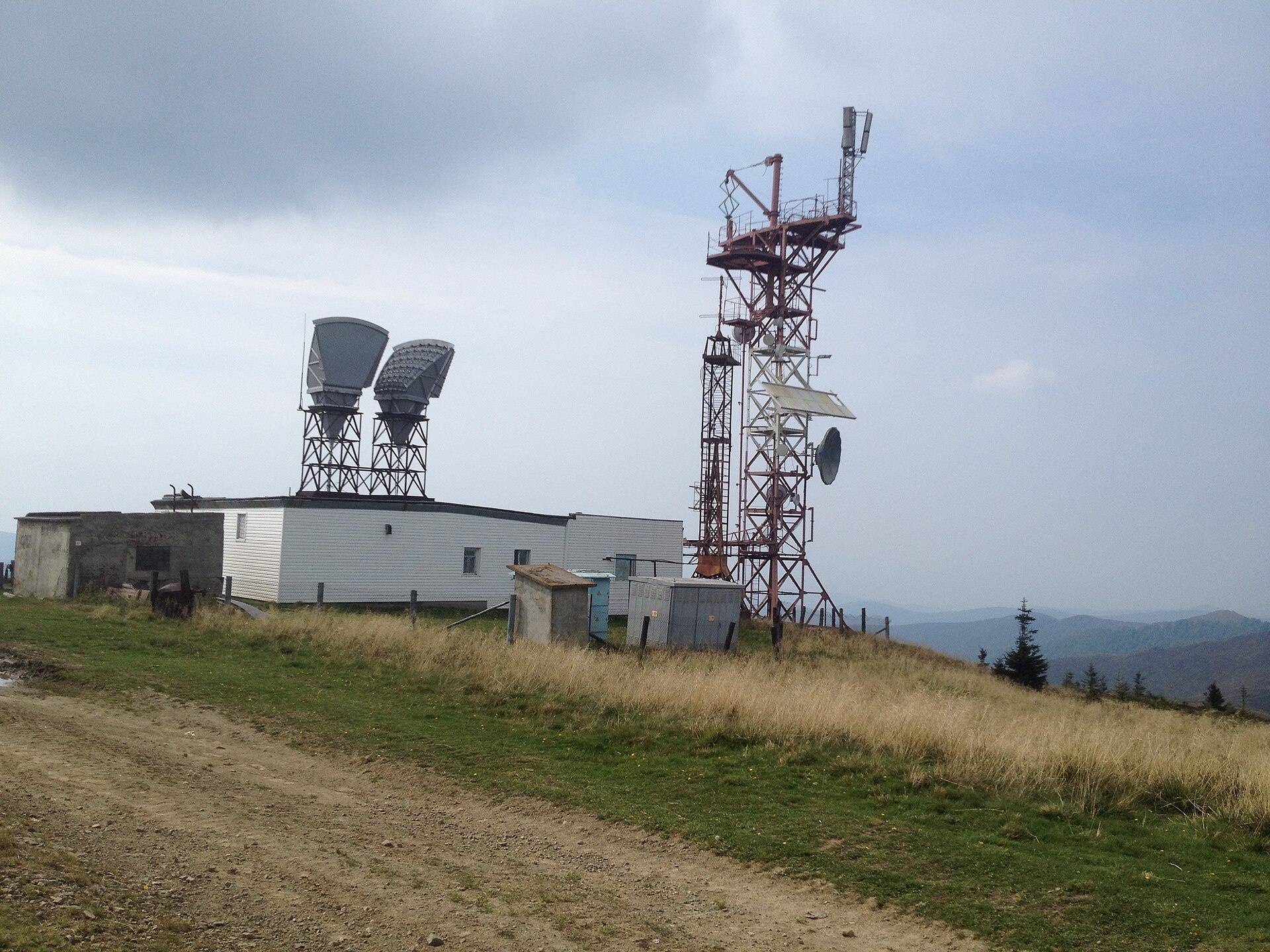
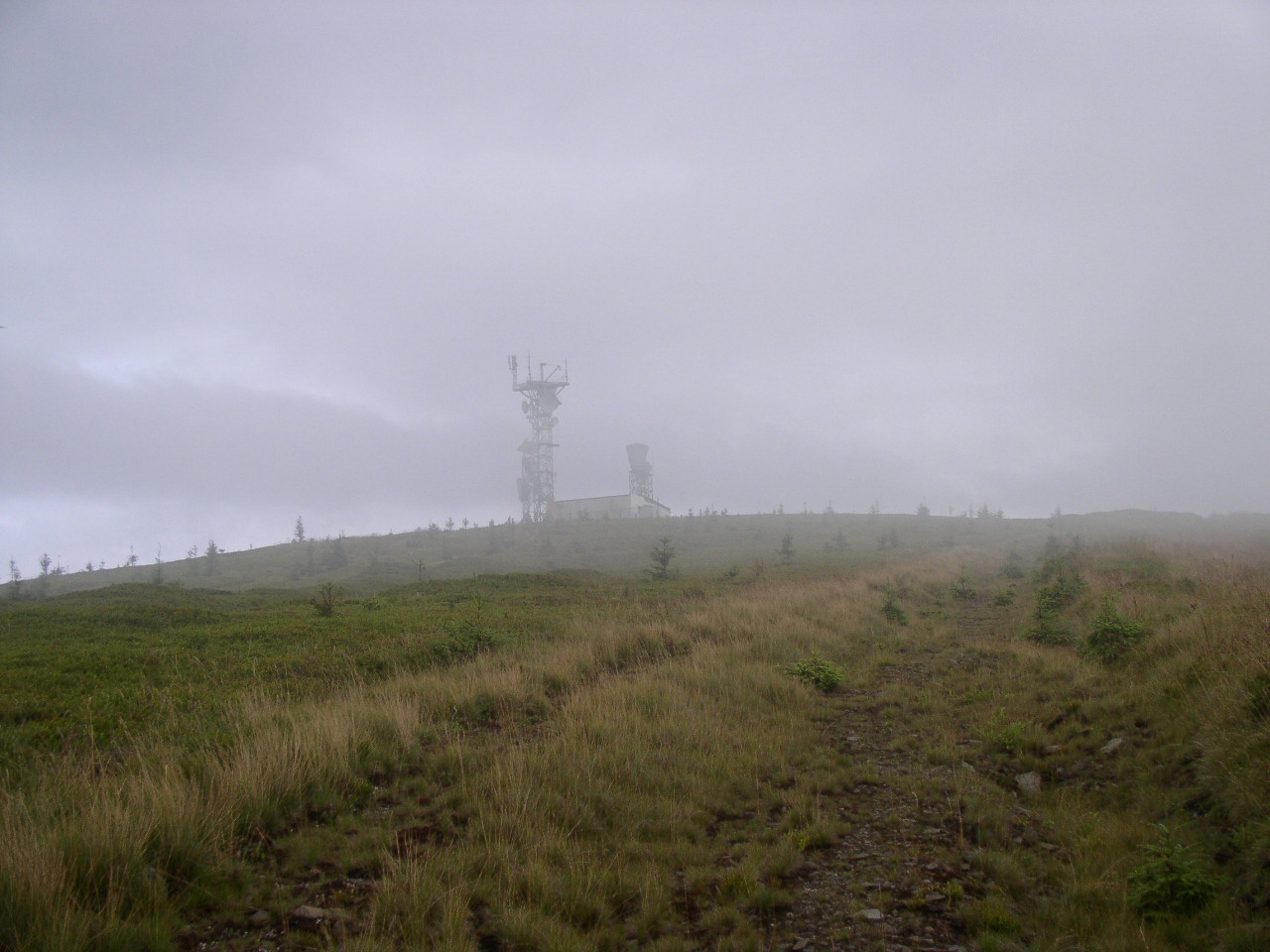
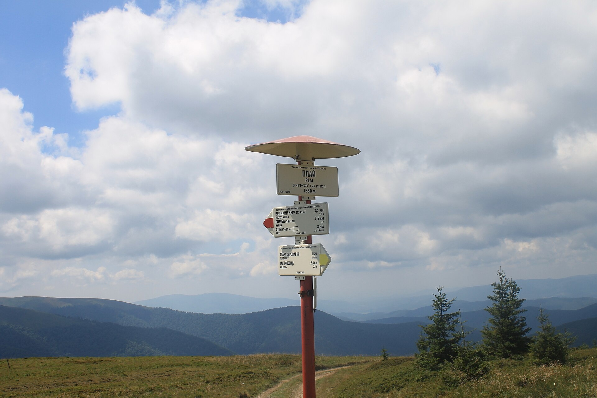
Plai is a 1,323 m mountain in the Polonyna Borzhava massif (Polonynskyi Ridge), in the Mukachevo district of Zakarpattia Oblast. It rises south of Volovets; the nearest settlements are Volovets and Huklyvyi. The summit is treeless, the slopes are steep (especially to the east) and the foot of the mountain is forested. To the north-west lies Temnatyk, to the south-east Velykyi Verkh (1,598 m), beyond which the ridge leads to the highest summit of Borzhava, Stii (1,681 m).
How to get there
Plai is the first big summit on the way from Volovets onto the main Borzhava ridge, so most of our routes from the village cross it:
- Volovets — Mt Plai — Mt Velykyi Verkh — Mt Hemba — Shypit waterfall — Volovets, 29.3 km;
- Volovets — Mt Plai — Mt Velykyi Verkh — Mt Stii — Mt Hemba — Shypit waterfall, 25.1 km;
- Volovets — Mt Tsytska — Mt Temnatyk — Mt Plai — Mt Velykyi Verkh — Mt Stii — Vovchyi, 50.4 km, a multi-day hike.
The Transcarpathian Tourist Trail also passes close to Plai. Volovets has a railway station, so you can start walking straight from the train.
Water, shelter and safety
Our map shows the «Sviata Krynytsia» spring about 2 km from the summit and a shepherd hut (kolyba) under Velykyi Verkh about 2.4 km away. Above the tree line the ridge is fully exposed — there is no shelter from wind, rain or lightning, and in fog it is easy to lose the path, so carry an offline map, warm clothes and enough water. In winter avalanches are possible on the open slopes of Borzhava. In an emergency call 112 or 101 — the mountain rescue units of Zakarpattia work around the clock.
Interesting facts
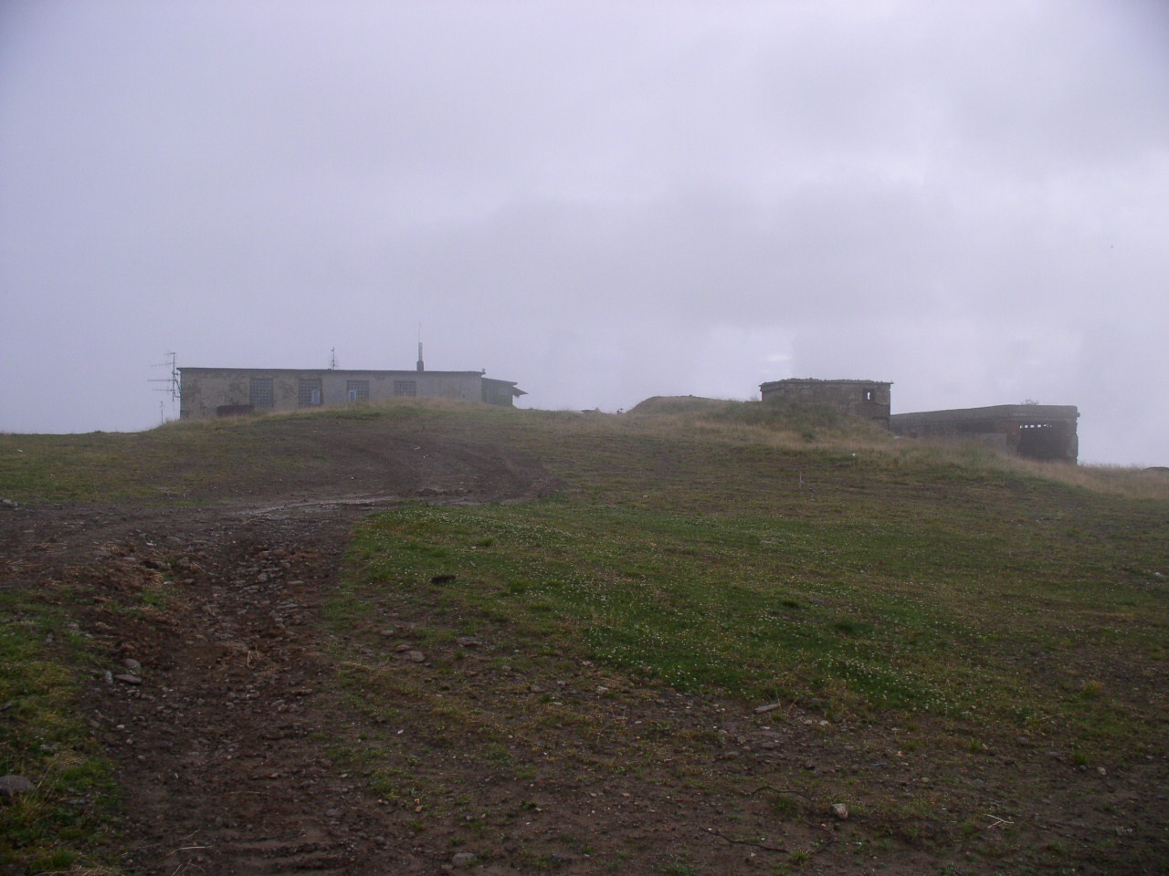
- A weather station has been operating on Mount Plai since 1968. In 1969–1970 Viacheslav Chornovil worked here as an observer; a memorial sign was placed on the mountain on 15 September 2007.
- The summit holds permanent buildings (some of them abandoned) and a radio relay station with antennas.
- The word «plai» is common throughout the Carpathians and means a mountain path; it is of Romanian-Wallachian origin.
- Nearby stand the ruins of the so-called «Old Cheese Dairy», a milk-processing station built in Austro-Hungarian times as part of Edmund Egan's «Highland Action».
Photos: Svyatko eco, CC BY-SA 4.0; Alex Zelenko, CC BY-SA 4.0; Alex Zelenko, CC BY-SA 4.0; A1, CC0 — Wikimedia Commons.
Location on the map
Comments
Places to stay nearby
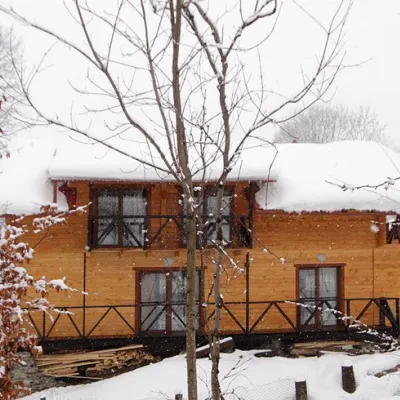 HomesteadHomestead "Dva Braty" Podobovets (sauna, tub)6.5 km from Mount PlaiHot tubSaunaBBQNearby: Shypit Waterfall 2.0 kmMt Gemba 4.5 km16 trails
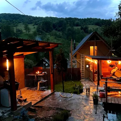 HomesteadPrivate Homestead "Forest House"14 km from Mount PlaiThe house is designed for 6 people. Additional places are available.Nearby: St. Michael's Church 7.9 km10 trails
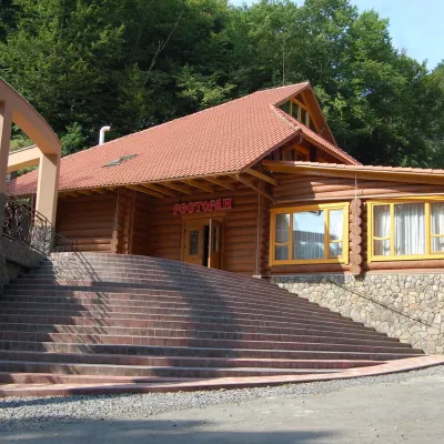 HotelHotel "Zatyshok" Nelypino18 km from Mount PlaiSaunaParkingWi‑FiNearby: St. Michael's Church 3.7 km2 trails
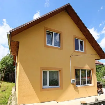 HomesteadHomestead "U Vasilya" Volovec4.3 km from Mount PlaiSaunaFireplaceKitchenNearby: Holy Ascension Church 900 mMt Veliky Verkh 6.9 km26 trails
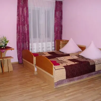 HomesteadHomestead "Zatyshok u Yolani" Mykulychyn4.8 km from Mount PlaiSaunaBBQKitchenNearby: Holy Ascension Church 400 mMt Veliky Verkh 7.5 km26 trails
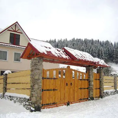 HomesteadHomestead "Pid Horoyu" Mykulychyn5 km from Mount PlaiPoolSaunaBBQNearby: Holy Ascension Church 300 mMt Veliky Verkh 7.7 km25 trails
Trails nearby
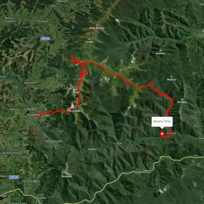 HardMulti-dayUnmarkedVolovets to Vovchyi villagevia Mount Tsytska, Mount Temnatyk +3Elevation profile276–1 676 m50.4 kmascent 3 297 munder 1 km from Mount Plai
 HardTwo-dayUnmarkedVolovets to Shypit Waterfallvia Mount Velykyi VerkhElevation profile525–1 627 m17.6 kmascent 1 639 m≈ 7.5 h walkingunder 1 km from Mount Plai
 HardMulti-dayMarkedTranscarpathian Tourist TrailElevation profile198–2 031 m393.2 kmascent 30 283 munder 1 km from Mount Plai
Nearby attractions
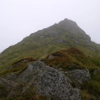 PeakMount Temnatykaltitude 1 343 m · Borzhava range2.2 km from Mount PlaiTemnatyk (also Tomnatyk) is a peak on the far north-western spur of the Polonyna Borzhava massif in Zakarpattia Oblast.
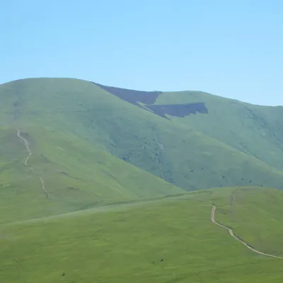 PeakMount Veliky Verkhaltitude 1 598 m · Borzhava range3.2 km from Mount Plai99 trails to the topMount Velykyi Verkh is a 1,598-meter peak of the Ukrainian Carpathians, located within the Borzhava Polonyna.
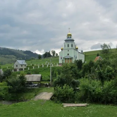 ChurchChurch of the Descent of the Holy Spirit (new), Huklyvyi3.7 km from Mount PlaiChurch of the Descent of the Holy Spirit, founded in 1932 (UOC). It is said that the Orthodox community in Huklyve was organized by a Russian emigrant, priest Pastukhov.